Whitmore Coppice

Wood, Forest in Dorset

England

Whitmore Coppice

Rodden Hive, West Fleet
Rodden Hive, West Fleet Credit: Colin Park

Whitmore Coppice, located in the county of Dorset, is a picturesque woodland area renowned for its natural beauty and rich biodiversity. Covering an approximate area of [insert number] hectares, this ancient forest is a cherished natural gem within the region.

The woodland is predominantly composed of indigenous tree species, including oak, beech, and birch, which create a dense and vibrant canopy. The forest floor is adorned with an array of wildflowers, ferns, and mosses, adding to the enchanting atmosphere. Additionally, the presence of numerous clear streams adds to the overall serenity and charm of the Coppice.

Whitmore Coppice is a popular destination for nature enthusiasts, hikers, and photographers who are drawn to its tranquil ambiance and stunning vistas. The forest offers a network of well-maintained walking trails, allowing visitors to explore its wonders at their own pace. These trails wind through the woodland, offering glimpses of the diverse wildlife that calls this place home, such as deer, foxes, and a variety of bird species.

Moreover, Whitmore Coppice is an important habitat for many rare and protected species. Conservation efforts have been made to preserve the delicate ecosystem, ensuring the survival of these unique flora and fauna. The forest is part of a designated nature reserve, and visitors are encouraged to respect the environment by practicing responsible tourism and adhering to designated paths.

In summary, Whitmore Coppice is a captivating woodland oasis, providing a sanctuary for nature lovers and a haven for biodiversity. Its lush vegetation, tranquil atmosphere, and diverse wildlife make it a must-visit destination for those seeking a connection with nature in the heart of Dorset.

If you have any feedback on the listing, please let us know in the comments section below.

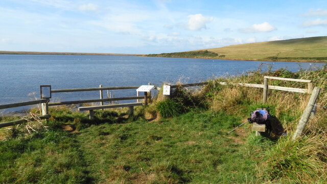
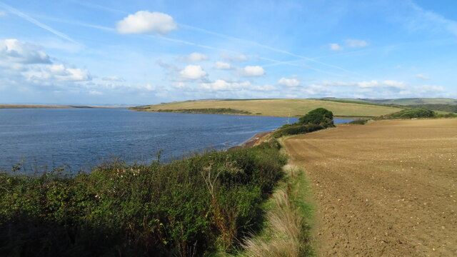
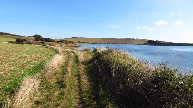
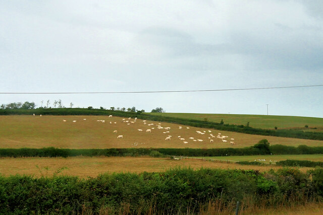
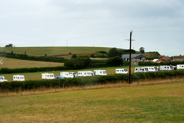
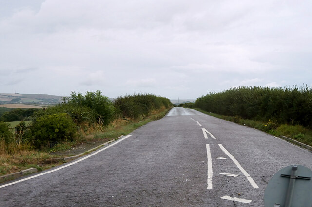
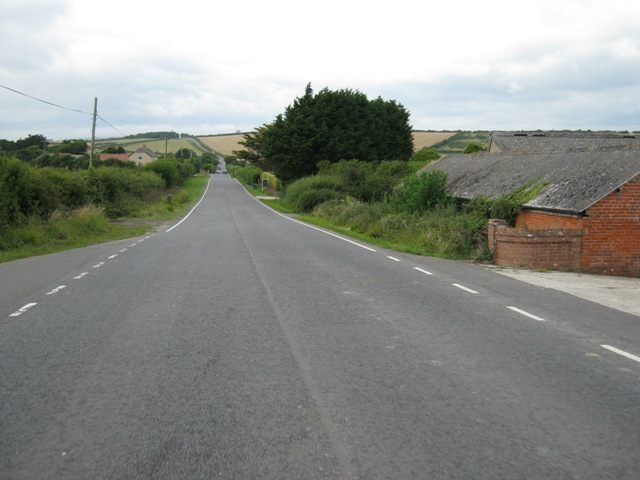
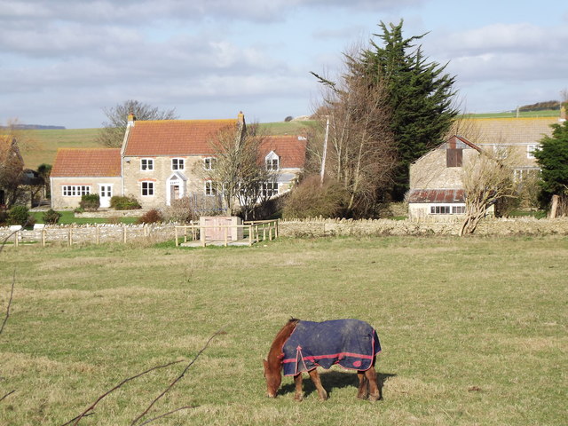
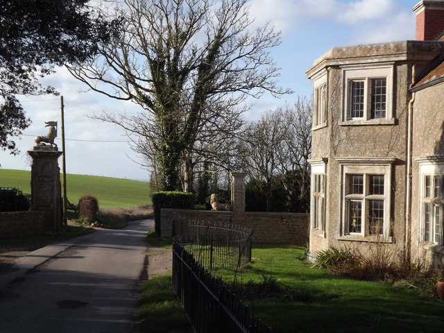
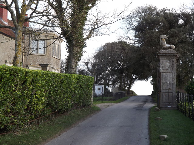
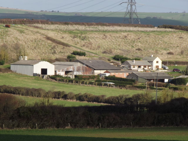
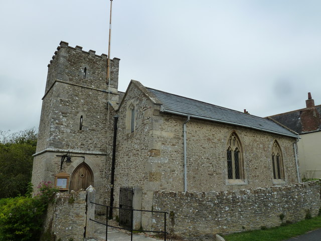
Whitmore Coppice Images

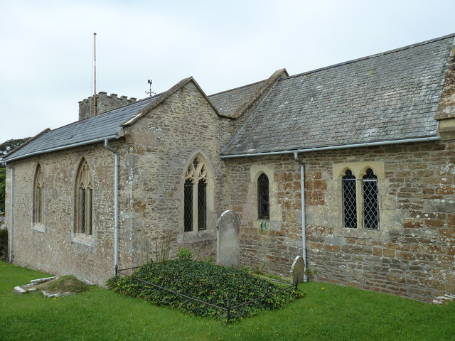
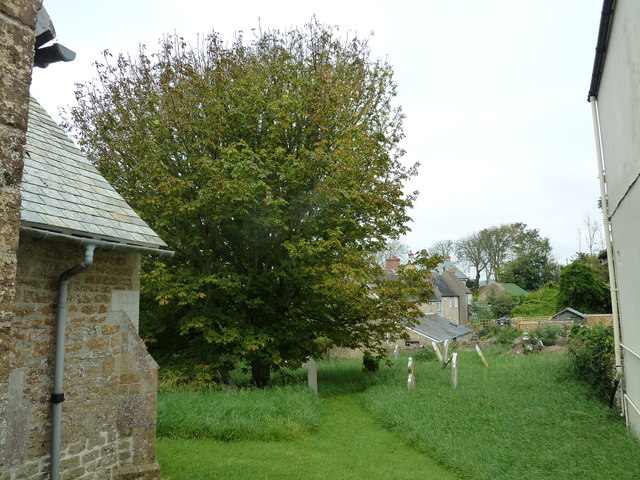
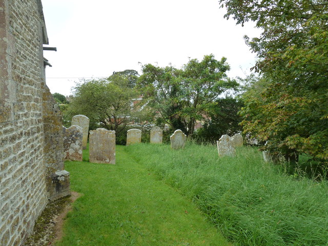
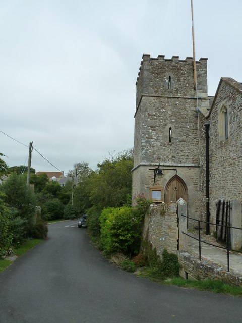
Images are sourced within 2km of 50.642433/-2.53535 or Grid Reference SY6282. Thanks to Geograph Open Source API. All images are credited.

Rodden Hive, West Fleet
West Fleet at Clay Hard Point, Langton Herring
Following the coast path east from Langton Hive Point near Langton Herring
Sheep Grazing near Victoria Inn
Bagwell Farm Caravan Site
Nottington Lane
Nottington Lane
B3157 passing Manor Farm Just over Chickerell Hill and heading towards Portesham. You may be able to pick out the <a href="https://www.geograph.org.uk/photo/2544104">SY6187 : Hardy Monument</a> as a tiny rectangular shadow on the horizon (about 15% in from the right) probably because the scaffolding makes it four times as wide.
B3157 passing Manor Farm
Just over Chickerell Hill and heading towards Portesham. You may be able to pick out the SY6187 : Hardy Monument as a tiny rectangular shadow on the horizon (about 15% in from the right) probably because the scaffolding makes it four times as wide.
West Fleet Farm Grassy meadow and horsieculture close to the Moonfleet Manor Hotel.
West Fleet Farm
Grassy meadow and horsieculture close to the Moonfleet Manor Hotel.
Fleet Road Lodge and gateway with ornamental heraldry on the road leading down to the Moonfleet Manor Hotel.
Fleet Road
Lodge and gateway with ornamental heraldry on the road leading down to the Moonfleet Manor Hotel.
Leaving Moonfleet Manor Looking eastwards on Fleet Road. The gateway and lodge are presumably related to the nearby Moonfleet Manor Hotel.
Leaving Moonfleet Manor
Looking eastwards on Fleet Road. The gateway and lodge are presumably related to the nearby Moonfleet Manor Hotel.
Moor Farm Large farm east of Langton Herring. Presumably it takes its name from the moorland ridge above.
Moor Farm
Large farm east of Langton Herring. Presumably it takes its name from the moorland ridge above.
Dreamy days in Dorset 43: Langton Herring An ancient foundation St Peter's underwent restorations and alterations in 1827 and 1858.
Dreamy days in Dorset 43: Langton Herring
An ancient foundation St Peter's underwent restorations and alterations in 1827 and 1858.
Saint Peter, Langton Herring: early September 2012
Saint Peter, Langton Herring: churchyard (a)
Saint Peter, Langton Herring: churchyard (b)
Saint Peter, Langton Herring: tower
Saint Peter, Langton Herring: thanksgiving board Langton Herring is one of a handful of villages in the country known as Doubly Thankful villages.  Everyone from the village who went to war, in both WWI and WWII, came back.  None were killed.
Saint Peter, Langton Herring: thanksgiving board
Langton Herring is one of a handful of villages in the country known as Doubly Thankful villages. Everyone from the village who went to war, in both WWI and WWII, came back. None were killed.
Saint Peter, Langton Herring: churchyard (c)
Show me another place!

Whitmore Coppice is located at Grid Ref: SY6282 (Lat: 50.642433, Lng: -2.53535)

Unitary Authority: Dorset

Police Authority: Dorset

What 3 Words

///novelists.opposites.relieves. Near Chickerell, Dorset

Related Wikis

Uggescombe Hundred

Uggescombe Hundred was a hundred in the county of Dorset, England, containing the following parishes: Abbotsbury Chilcombe Fleet Hawkchurch (part) Kingston...

Langton Herring

Langton Herring is a village and civil parish in the county of Dorset in South West England. It lies about 5 miles (8.0 km) north-west of the coastal resort...

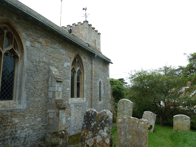
St Peter's Church, Langton Herring

St Peter's Church is a Grade II listed church in the village of Langton Herring, Dorset, England. The church stands behind The Elm Tree Inn public house...

Gore Cove

Gore Cove is an inlet cove in the Fleet lagoon behind Chesil Beach, on the south coast of Dorset, England, located on the Jurassic Coast World Heritage...

Nearby Amenities

Located within 500m of 50.642433,-2.53535
LANGTONHERRINGNORTH1
Disused: yes
Man Made: petroleum_well
Ref GB Decc: L97/13-3
Source: DECC
Lat/Long: 50.6449444/-2.5330278
The data included in this document is from www.openstreetmap.org. The data is made available under ODbL.

Have you been to Whitmore Coppice?

Leave your review of Whitmore Coppice below (or comments, questions and feedback).