Langton Cross
Heritage Site in Dorset
England
Langton Cross

Langton Cross is a historic landmark located in the county of Dorset, England. It is a Grade I listed structure and is considered a significant heritage site. The cross stands at the junction of two ancient Roman roads, known as the Akeman Street and the Icknield Way, which were important trade routes during the Roman period.
The Langton Cross is made of limestone and dates back to the 14th century. It stands at a height of approximately 3.6 meters and features intricate carvings and decorative motifs. The cross is topped with a wheel-head design, which is characteristic of many medieval crosses in England. It is believed to have served as a wayside marker or a preaching cross, providing a focal point for religious gatherings and worship.
Over the centuries, the Langton Cross has undergone restoration to preserve its historic significance. The carvings depict religious scenes, including the crucifixion of Christ, as well as figures of saints. These intricate details showcase the craftsmanship of the medieval period and provide insight into the religious and cultural practices of the time.
The Langton Cross is surrounded by a small fenced area and is accessible to the public. It serves as a reminder of the area's rich history and is a popular attraction for tourists and history enthusiasts. The cross stands as a testament to the enduring nature of religious and cultural traditions, and the importance of preserving our heritage for future generations.
If you have any feedback on the listing, please let us know in the comments section below.
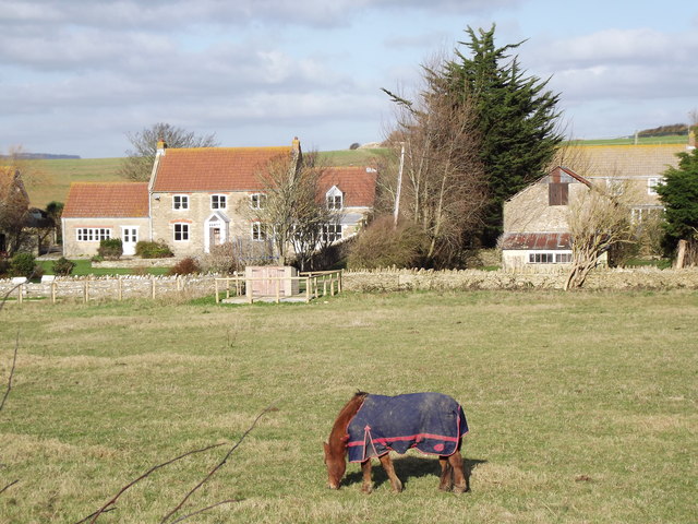
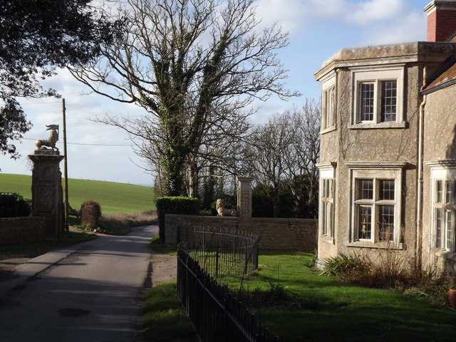
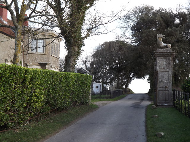
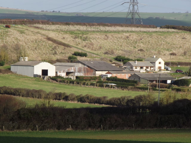
Langton Cross Images
Images are sourced within 2km of 50.64/-2.53 or Grid Reference SY6282. Thanks to Geograph Open Source API. All images are credited.


Langton Cross is located at Grid Ref: SY6282 (Lat: 50.64, Lng: -2.53)
Unitary Authority: Dorset
Police Authority: Dorset
What 3 Words
///outcasts.below.zest. Near Chickerell, Dorset
Related Wikis

Uggescombe Hundred
Uggescombe Hundred was a hundred in the county of Dorset, England, containing the following parishes: Abbotsbury Chilcombe Fleet Hawkchurch (part) Kingston...

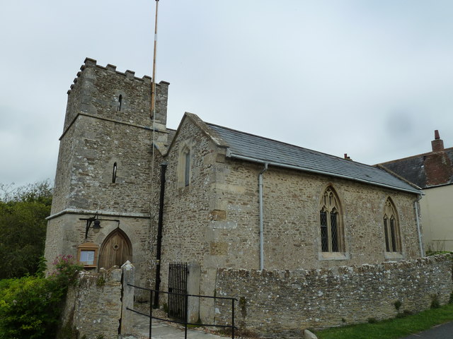
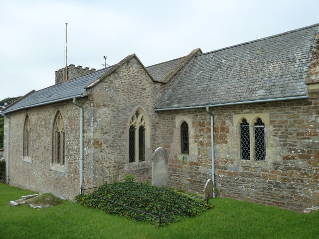
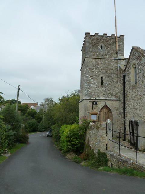
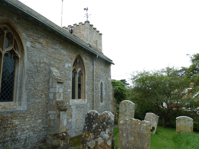
St Peter's Church, Langton Herring
St Peter's Church is a Grade II listed church in the village of Langton Herring, Dorset, England. The church stands behind The Elm Tree Inn public house...
Langton Herring
Langton Herring is a village and civil parish in the county of Dorset in South West England. It lies about 5 miles (8.0 km) north-west of the coastal resort...
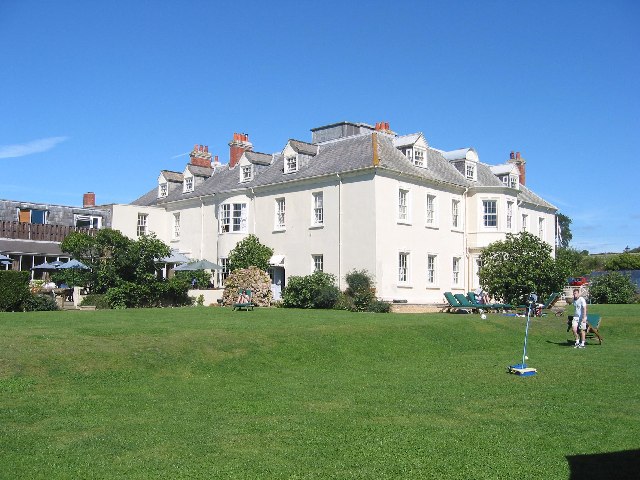
Moonfleet Manor Hotel
Moonfleet Manor Hotel is a hotel and former manor house in Fleet, Dorset, England. With 17th century origins, much of the house dates to the 18th and 19th...
Nearby Amenities
Located within 500m of 50.64,-2.53Have you been to Langton Cross?
Leave your review of Langton Cross below (or comments, questions and feedback).