Henchman's Coppice

Wood, Forest in Shropshire

England

Henchman's Coppice

A458 at Dollops Coppice
A458 at Dollops Coppice Credit: Peter Whatley

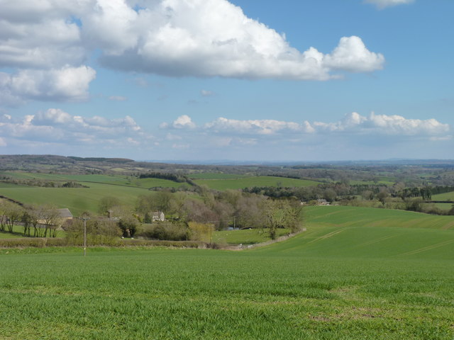
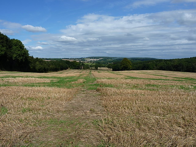
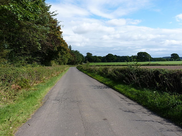
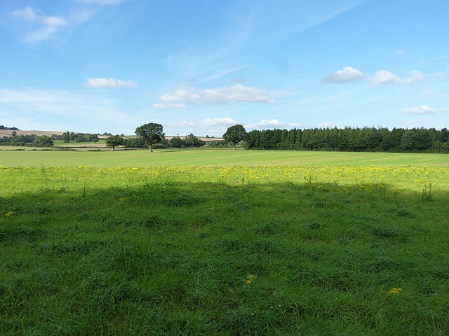
Henchman's Coppice is a picturesque woodland located in the heart of Shropshire, England. Stretching over an area of approximately 100 acres, this enchanting forest is renowned for its natural beauty and tranquil ambiance, attracting visitors from near and far.

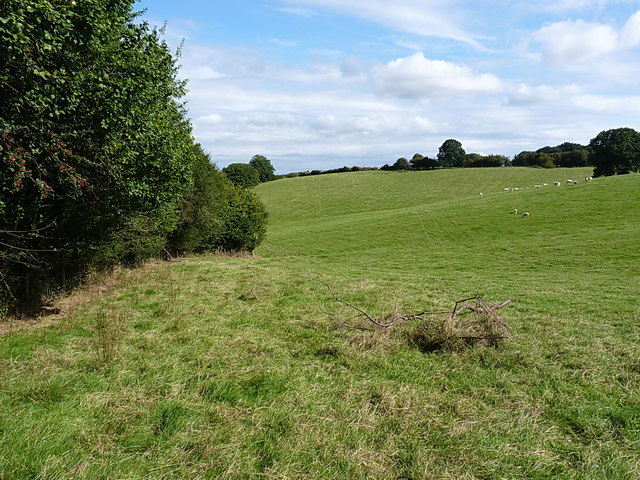
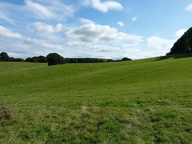
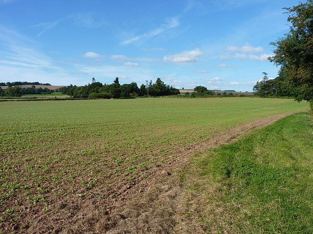
The woodland is primarily composed of a diverse mix of deciduous and coniferous trees, including oak, beech, pine, and birch, creating a stunning tapestry of colors throughout the year. In spring, the forest floor is adorned with a vibrant carpet of bluebells, while autumn brings a kaleidoscope of golden hues as the leaves change.

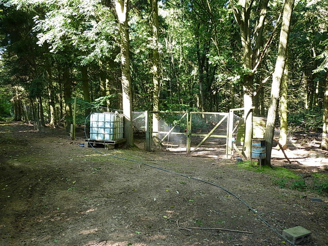
Wandering through Henchman's Coppice, visitors can immerse themselves in nature and enjoy the abundance of wildlife that calls this forest home. Bird enthusiasts will be delighted by the melodic songs of various species, including woodpeckers, thrushes, and warblers. While exploring, lucky observers may spot elusive mammals such as foxes, badgers, and deer, which roam freely within the woodland.

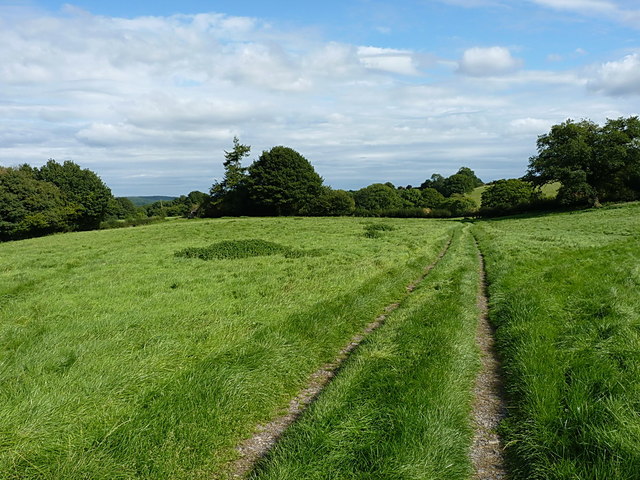
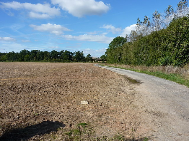
Henchman's Coppice offers a range of walking trails suitable for all abilities, from leisurely strolls to more challenging hikes. The paths wind through the forest, leading visitors to hidden clearings, babbling brooks, and breathtaking viewpoints. There are also picnic areas and benches scattered throughout the woodland, providing the perfect opportunity to pause, relax, and enjoy the serenity of the surroundings.

Throughout the year, Henchman's Coppice hosts various events and activities, including nature walks, educational programs, and seasonal celebrations. These events allow visitors to further engage with the forest and deepen their appreciation for the natural world.

In conclusion, Henchman's Coppice is a captivating woodland in Shropshire that offers an immersive experience in nature. With its diverse flora and fauna, picturesque trails, and peaceful atmosphere, it is a haven for nature lovers and a must-visit destination for anyone seeking solace in the beauty of the natural world

If you have any feedback on the listing, please let us know in the comments section below.

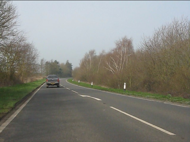
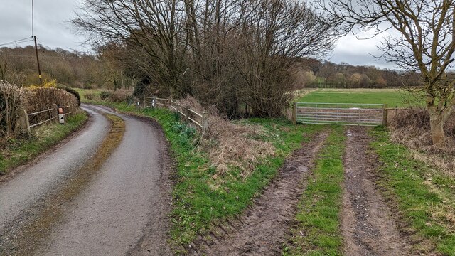
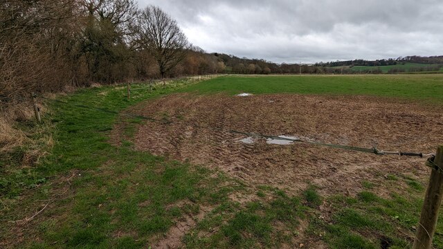
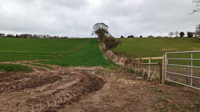
Henchman's Coppice Images

Images are sourced within 2km of 52.563149/-2.5660936 or Grid Reference SO6196. Thanks to Geograph Open Source API. All images are credited.

A458 at Dollops Coppice
Lane to the left, footpath to the right
Remove strap to use footpath
Wheat field and recently restored hedge
View across Callaughton Callaughton farm and village houses.
View across Callaughton
Callaughton farm and village houses.
OS benchmark - Acton Round church gateway An OS cutmark on the lefthand gatepost of the churchyard entrance; originally levelled at 161.065m above Ordnance Datum Newlyn.
OS benchmark - Acton Round church gateway
An OS cutmark on the lefthand gatepost of the churchyard entrance; originally levelled at 161.065m above Ordnance Datum Newlyn.
Pheasant-rearing pens in The Coppice at Acton Round There were plenty of young birds in the pens, and no shortage of older pheasants in the rest of the wood. Daft Dog, being a Cocker Spaniel, thought this was a great place to explore.
Pheasant-rearing pens in The Coppice at Acton Round
There were plenty of young birds in the pens, and no shortage of older pheasants in the rest of the wood. Daft Dog, being a Cocker Spaniel, thought this was a great place to explore.
OS benchmark - Lower Spoonhill An OS cutmark on the wall of Lower Spoonhill house; originally levelled at 132.247m above Ordnance Datum Newlyn.
OS benchmark - Lower Spoonhill
An OS cutmark on the wall of Lower Spoonhill house; originally levelled at 132.247m above Ordnance Datum Newlyn.
House at Lower Spoonhill
Footpath near Lower Spoonhill Woods Easy walking once the wheat has been harvested, but this might have felt less 'open' when the crop was still in the field.
Footpath near Lower Spoonhill Woods
Easy walking once the wheat has been harvested, but this might have felt less 'open' when the crop was still in the field.
Footpath along a hedgeline near Little Spoonhill The paths hereabouts are not particularly well signed, nor well used for that matter. Which is a shame, as it's a lovely area.
Footpath along a hedgeline near Little Spoonhill
The paths hereabouts are not particularly well signed, nor well used for that matter. Which is a shame, as it's a lovely area.
Pastureland near Monkhall Plantation
Track to Little Spoonhill
Along the lane near The Floors
OS benchmark - Bourton, barn at The Floors An OS cutmark on the northern, rubble-built wall of a small barn at The Floors; originally levelled at 172.48m above Ordnance Datum Newlyn.
OS benchmark - Bourton, barn at The Floors
An OS cutmark on the northern, rubble-built wall of a small barn at The Floors; originally levelled at 172.48m above Ordnance Datum Newlyn.
Track to Butcher's Coppice and The Pheasantrey The track leads to a small cottage in the woods just northeast of here.
Track to Butcher's Coppice and The Pheasantrey
The track leads to a small cottage in the woods just northeast of here.
A bridleway, in theory No sign of a usable path across this field, but the headland/margin has been left unplanted and riders are presumably expected to use that instead. To be fair, it works just as well.
A bridleway, in theory
No sign of a usable path across this field, but the headland/margin has been left unplanted and riders are presumably expected to use that instead. To be fair, it works just as well.
Another piece of unmarked bridleway The right of way crossing this field has been planted over, leaving no trace of a path, but with an alternative route around the field edge it's not the end of the world. The same applies in the next field north, nearer to the road.
Another piece of unmarked bridleway
The right of way crossing this field has been planted over, leaving no trace of a path, but with an alternative route around the field edge it's not the end of the world. The same applies in the next field north, nearer to the road.
Show me another place!

Henchman's Coppice is located at Grid Ref: SO6196 (Lat: 52.563149, Lng: -2.5660936)

Unitary Authority: Shropshire

Police Authority: West Mercia

What 3 Words

///neater.resembles.premises. Near Much Wenlock, Shropshire

Related Wikis

Acton Round

Acton Round is a village and civil parish in the English county of Shropshire. Acton Round was recorded in the Domesday Book as Achetune. The civil parish...

Bourton, Shropshire

Bourton is a small village in Shropshire, England, 3 miles (5 km) southwest of Much Wenlock. It is part of the civil parish of Much Wenlock. Holy Trinity...

Westwood Halt railway station

Westwood Halt railway station was a station in Stretton Westwood, Shropshire, England. The station was opened on 7 December 1935 and closed to passengers...

Atterley

Atterley is a village in Shropshire, England.

Nearby Amenities

Located within 500m of 52.563149,-2.5660936
The data included in this document is from www.openstreetmap.org. The data is made available under ODbL.

Have you been to Henchman's Coppice?

Leave your review of Henchman's Coppice below (or comments, questions and feedback).