Clay Pit Strip

Wood, Forest in Gloucestershire Forest of Dean

England

Clay Pit Strip

Directions sign, Hill Street, Lydney On a lamppost on the approach to the B4234 for Whitecroft and Parkend.
Directions sign, Hill Street, Lydney Credit: Jaggery

Clay Pit Strip is a woodland area located in Gloucestershire, England. Covering approximately 50 acres, it is situated within the larger Forest of Dean, a renowned ancient forest known for its diverse flora and fauna. The strip gets its name from the clay pits that were once active in the area, supplying clay for local industries.

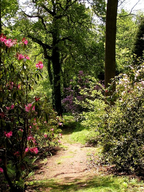
The woodland is primarily composed of mixed deciduous trees, such as oak, beech, and ash, creating a rich and vibrant ecosystem. It is home to a variety of wildlife, including deer, badgers, foxes, and numerous bird species. The canopy formed by the tall trees provides shelter for smaller mammals and birds, while the undergrowth supports a range of insects and invertebrates.

Clay Pit Strip is a popular destination for nature enthusiasts and walkers, offering a network of well-maintained footpaths that wind through the woodland. These paths allow visitors to explore the diverse habitat and enjoy the tranquility of the forest environment. The strip also features a small pond, attracting additional wildlife and serving as a focal point for nature observation.

Managed by the local authorities, Clay Pit Strip is carefully maintained to preserve its natural beauty and biodiversity. This includes regular tree planting initiatives to ensure the woodland remains sustainable for future generations.

Overall, Clay Pit Strip in Gloucestershire offers a peaceful and picturesque woodland experience, showcasing the natural beauty of the Forest of Dean and providing a haven for wildlife and nature enthusiasts alike.

If you have any feedback on the listing, please let us know in the comments section below.

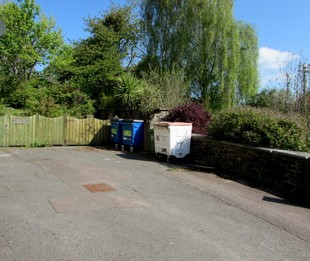
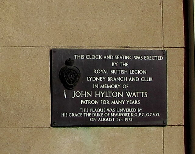
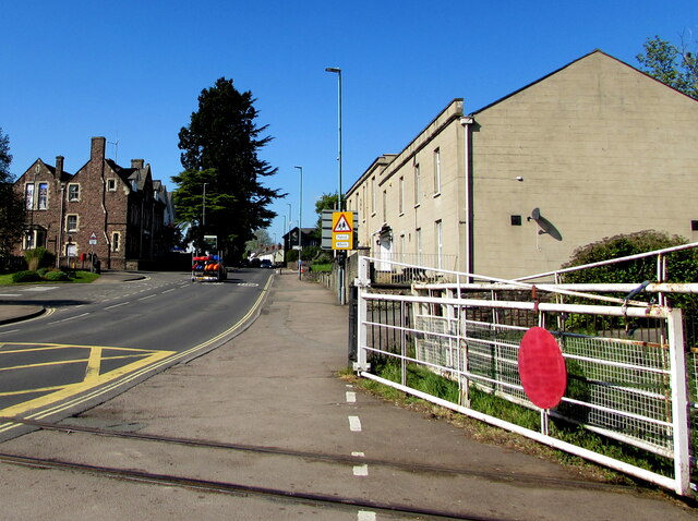
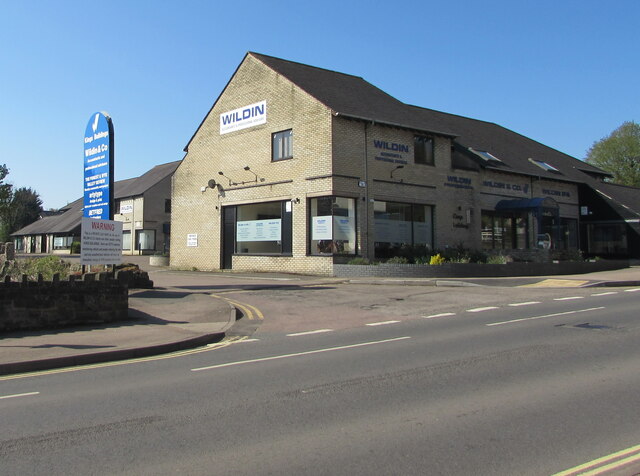
Clay Pit Strip Images

Images are sourced within 2km of 51.727282/-2.5556021 or Grid Reference SO6103. Thanks to Geograph Open Source API. All images are credited.

Directions sign, Hill Street, Lydney On a lamppost on the approach to the B4234 for Whitecroft and Parkend.
Directions sign, Hill Street, Lydney
On a lamppost on the approach to the B4234 for Whitecroft and Parkend.
Suez wheelie bins, Lydney Large wheelie bins near the corner of Hill Street and Hill View in May 2021.
Suez wheelie bins, Lydney
Large wheelie bins near the corner of Hill Street and Hill View in May 2021.
Up Hill View, Lydney Dead-end Hill View ascends from Hill Street.
Up Hill View, Lydney
Dead-end Hill View ascends from Hill Street.
Warning sign alongside Hill Street, Lydney Showing Patrol 85yds. The car is turning into Bathurst Park Road in May 2021.
Warning sign alongside Hill Street, Lydney
Showing Patrol 85yds. The car is turning into Bathurst Park Road in May 2021.
Single-track railway in Lydney This part of the heritage Dean Forest Railway is past the edge of Town Station Business Park.
Single-track railway in Lydney
This part of the heritage Dean Forest Railway is past the edge of Town Station Business Park.
Town Station Business Park access road, Lydney On the north side of Hill Street.
Town Station Business Park access road, Lydney
On the north side of Hill Street.
Thank You to our NHS workers and all key workers, Lydney Alongside Town Station Business Park access road in May 2021 during the Coronavirus (COVID-19) pandemic.
Thank You to our NHS workers and all key workers, Lydney
Alongside Town Station Business Park access road in May 2021 during the Coronavirus (COVID-19) pandemic.
Town Station Business Park name sign, Lydney In the background here <a title="https://www.geograph.org.uk/photo/6983679" href="https://www.geograph.org.uk/photo/6983679">Link</a> in May 2021. Also shown are a Lydney Space Station sign and a Velux sign. The rusty railings on the left are at the edge of the heritage Dean Forest Railway. <a title="https://www.geograph.org.uk/photo/6983653" href="https://www.geograph.org.uk/photo/6983653">Link</a>
Town Station Business Park name sign, Lydney
In the background here Link in May 2021. Also shown are a Lydney Space Station sign and a Velux sign. The rusty railings on the left are at the edge of the heritage Dean Forest Railway. Link
Dominant trees in Lydney Viewed across Hill Street.
Dominant trees in Lydney
Viewed across Hill Street.
SSE along Bathurst Park Road, Lydney From Hill Street, Bathurst Park Road leads to Bathurst Park. 
Formerly Lydney Police Station, the building on the corner is now (2021) in business use.
SSE along Bathurst Park Road, Lydney
From Hill Street, Bathurst Park Road leads to Bathurst Park. Formerly Lydney Police Station, the building on the corner is now (2021) in business use.
Stay Safe, Shop Local, Lydney On a Hill Street lamppost in May 2021 during the Coronavirus (COVID-19) pandemic.
Stay Safe, Shop Local, Lydney
On a Hill Street lamppost in May 2021 during the Coronavirus (COVID-19) pandemic.
Windows on the west side of Watney Hall, Lydney The name sign shows WATNEY HALL AT 3 HILL STREET.
Windows on the west side of Watney Hall, Lydney
The name sign shows WATNEY HALL AT 3 HILL STREET.
Sorry We Are Closed, Watney Hall, Lydney The notice is at the entrance to Watney Hall at 3 Hill Street in May 2021 during the Coronavirus (COVID-19) pandemic. It shows 

SORRY WE ARE CLOSED. 

We did try to open but we completely understand why some customers do not feel comfortable and it was difficult to socialise in the safe environment that we have created.

We will keep the matter under review in line with the regulations, but we do not expect to reopen until at least October.
Sorry We Are Closed, Watney Hall, Lydney
The notice is at the entrance to Watney Hall at 3 Hill Street in May 2021 during the Coronavirus (COVID-19) pandemic. It shows SORRY WE ARE CLOSED. We did try to open but we completely understand why some customers do not feel comfortable and it was difficult to socialise in the safe environment that we have created. We will keep the matter under review in line with the regulations, but we do not expect to reopen until at least October.
Plaque dated 1973, Hill Street, Lydney The plaque on the wall of 3 Hill Street <a title="https://www.geograph.org.uk/photo/3805239" href="https://www.geograph.org.uk/photo/3805239">Link</a> shows THIS CLOCK AND SEATING WAS ERECTED BY THE ROYAL BRITISH LEGION LYDNEY BRANCH AND CLUB IN MEMORY OF JOHN HYLTON WATTS PATRON FOR MANY YEARS. THIS PLAQUE WAS UNVEILED BY HIS GRACE THE DUKE OF BEAUFORT K.G. P.C. G.C.V.O. ON AUGUST 5TH 1973.
Plaque dated 1973, Hill Street, Lydney
The plaque on the wall of 3 Hill Street Link shows THIS CLOCK AND SEATING WAS ERECTED BY THE ROYAL BRITISH LEGION LYDNEY BRANCH AND CLUB IN MEMORY OF JOHN HYLTON WATTS PATRON FOR MANY YEARS. THIS PLAQUE WAS UNVEILED BY HIS GRACE THE DUKE OF BEAUFORT K.G. P.C. G.C.V.O. ON AUGUST 5TH 1973.
Level crossing gate, Hill Street, Lydney In the foreground the track of the Dean Forest Railway crosses Hill Street.
Level crossing gate, Hill Street, Lydney
In the foreground the track of the Dean Forest Railway crosses Hill Street.
Wildin & Co, Hill Street, Lydney Accountants offices in King's Buildings.
Wildin & Co, Hill Street, Lydney
Accountants offices in King's Buildings.
NG Thai Food, 18 Hill Street, Lydney On the right here. <a title="https://www.geograph.org.uk/photo/6869015" href="https://www.geograph.org.uk/photo/6869015">Link</a>
NG Thai Food, 18 Hill Street, Lydney
On the right here. Link
B4234 direction and distances sign, Hill Street, Lydney Turn left here into the B4234 Forest Road for the Dean Forest Steam railway (1 mile), Whitecroft (2½), Parkend (4), Lydbrook (9).
B4234 direction and distances sign, Hill Street, Lydney
Turn left here into the B4234 Forest Road for the Dean Forest Steam railway (1 mile), Whitecroft (2½), Parkend (4), Lydbrook (9).
Show me another place!

Clay Pit Strip is located at Grid Ref: SO6103 (Lat: 51.727282, Lng: -2.5556021)

Administrative County: Gloucestershire

District: Forest of Dean

Police Authority: Gloucestershire

What 3 Words

///trend.toys.gathering. Near Lydney, Gloucestershire

Related Wikis

Lydney Park

Lydney Park is a 17th-century country estate surrounding Lydney House, located at Lydney in the Forest of Dean district in Gloucestershire, England. It...
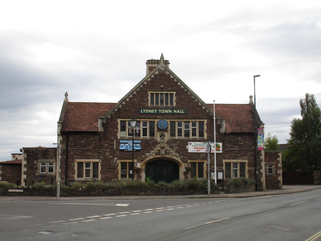
Lydney Town Hall

Lydney Town Hall is a municipal structure in the High Street, Lydney, Gloucestershire, England. The structure, which is used as an events venue, is listed...

Tufts Junction

Tufts Junction was a junction on the Severn and Wye Railway between Lydney Town and Whitecroft, England. The junction is now on the Dean Forest Railway...

Lydney power station

The Lydney power station supplied electricity to 300 square miles (780 km2) of West Gloucestershire, England from 1923 until 1967. The supply area included...

The Dean Academy

The Dean Academy (formerly Whitecross School) is a mixed secondary school located in Lydney in the English county of Gloucestershire. == Location == The...

White Cross Manor

White Cross Manor was the manor house in Lydney, Gloucestershire, England, of the Wynter family. It was burnt to the ground in April 1645 on the orders...

Norchard railway station

Norchard is a railway station on the Dean Forest Railway, near Lydney in the Forest of Dean, Gloucestershire. Norchard is the main station of the Dean...

Aylburton

Aylburton is a village and civil parish in the Forest of Dean district of Gloucestershire, England, on the A48 road about two miles south-west of Lydney...

Nearby Amenities

Located within 500m of 51.727282,-2.5556021
Old Park Valley
Place: locality
Lat/Long: 51.7252518/-2.5547658
Red Hill
Place: locality
Lat/Long: 51.726497/-2.5509435
The data included in this document is from www.openstreetmap.org. The data is made available under ODbL.

Have you been to Clay Pit Strip?

Leave your review of Clay Pit Strip below (or comments, questions and feedback).