Hathersage
Civil Parish in Derbyshire Derbyshire Dales
England
Hathersage
Hathersage is a civil parish located in the county of Derbyshire, England. It is situated in the eastern part of the Peak District National Park, approximately 10 miles southwest of the city of Sheffield. The parish covers an area of about 13 square kilometers and has a population of around 2,700 residents.
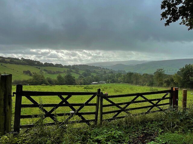
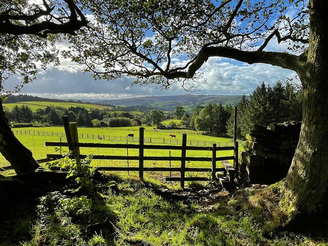
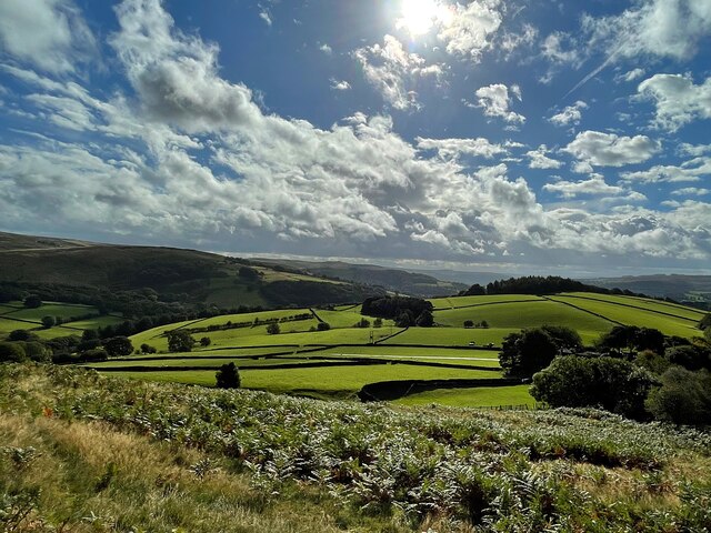
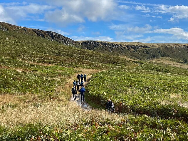
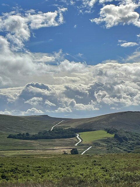
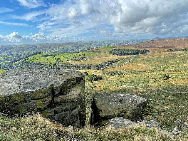
The village of Hathersage is known for its picturesque beauty and rich history. It is surrounded by rolling hills, lush green valleys, and stunning landscapes, making it a popular destination for tourists and outdoor enthusiasts. The area offers numerous walking and hiking trails, including the famous Stanage Edge, a gritstone escarpment popular among climbers.
Hathersage has a long history dating back to Roman times, and evidence of ancient settlements can still be seen in the area. The village is also associated with the legendary figure of Robin Hood, with the local churchyard believed to be the resting place of Little John, one of Robin Hood's Merry Men.
The village itself is charming and traditional, with a mix of stone-built cottages, country houses, and small shops. It boasts a range of amenities, including local pubs, restaurants, and shops, catering to both residents and visitors. The community is active and vibrant, with various events and festivals held throughout the year.
Overall, Hathersage is a beautiful and historic village that offers a peaceful and idyllic setting for residents and visitors, with its stunning natural surroundings and rich cultural heritage.
If you have any feedback on the listing, please let us know in the comments section below.
Hathersage Images
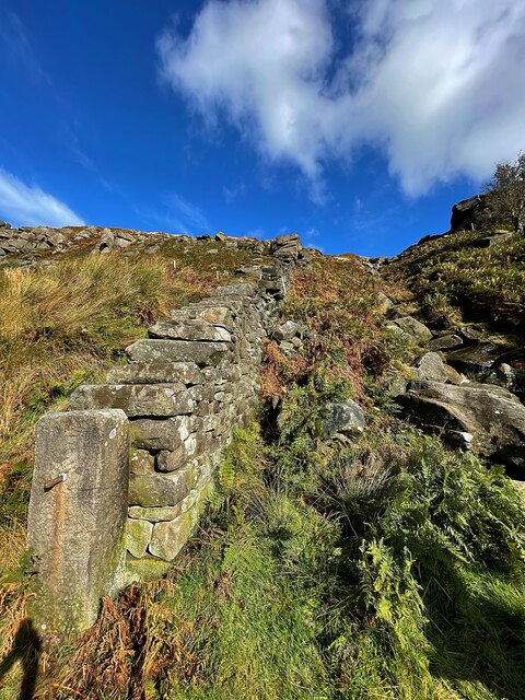
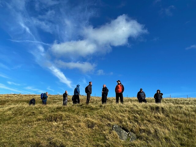
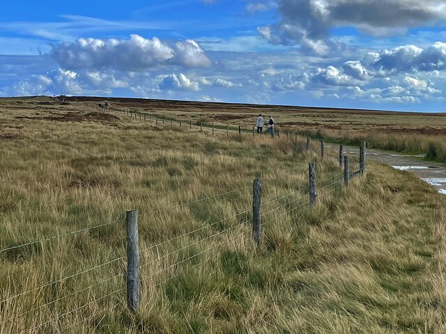
Images are sourced within 2km of 53.343383/-1.647729 or Grid Reference SK2383. Thanks to Geograph Open Source API. All images are credited.


Hathersage is located at Grid Ref: SK2383 (Lat: 53.343383, Lng: -1.647729)
Administrative County: Derbyshire
District: Derbyshire Dales
Police Authority: Derbyshire
What 3 Words
///apron.train.gazed. Near Hathersage, Derbyshire
Nearby Locations
Related Wikis

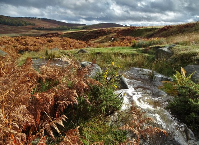
Hood Brook
Hood Brook is a stream in the Derbyshire Peak District, originating near Stanage Edge, close to Robin Hoods Cave. == Background == Hood Brook flows south...

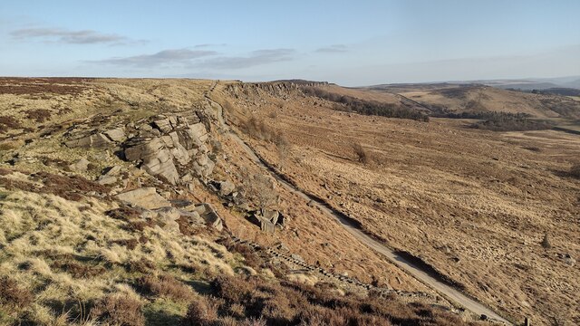
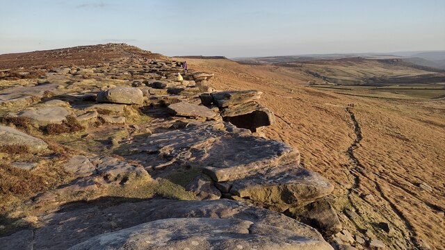
Stanage Edge
Stanage Edge, or simply Stanage (from "stone edge") is a gritstone escarpment in the Peak District, England, famous as a location for climbing. It lies...

St Michael and All Angels' Church, Hathersage
St Michael and All Angels’ Church, Hathersage, is a Grade I listed parish church in the Church of England in Hathersage, Derbyshire. == History == The...

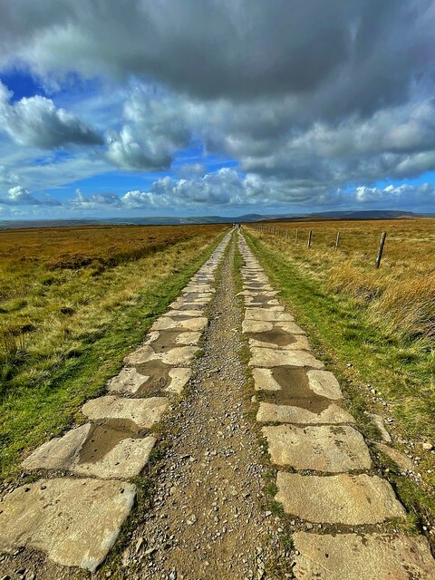
Long Causeway
Long Causeway or Long Causey was a medieval packhorse route in England, which ran between Sheffield in South Yorkshire and Hathersage in Derbyshire. In...

Hathersage
Hathersage ( HATHə-sidge) is a village and civil parish in the Peak District in Derbyshire, England. It lies slightly to the north of the River Derwent...

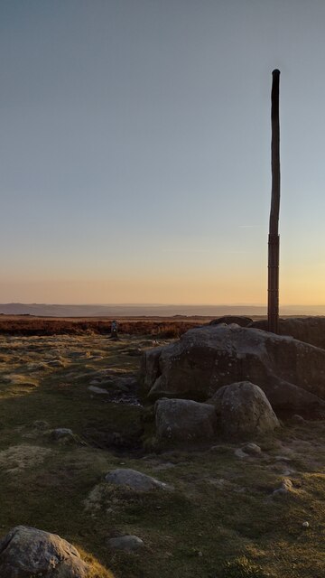
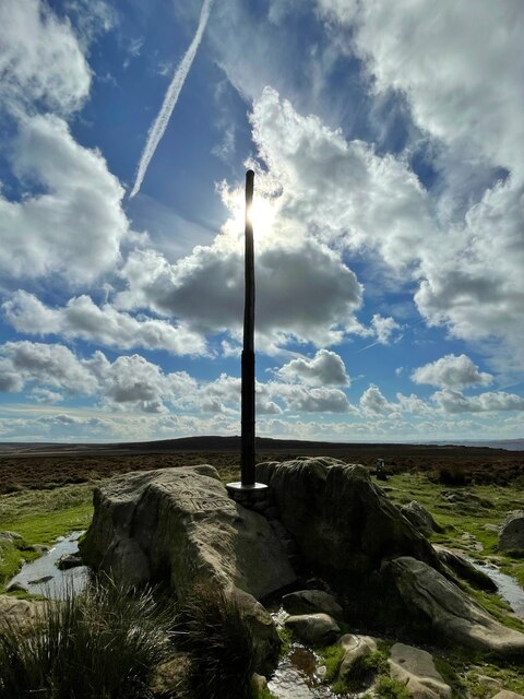
Stanedge Pole
Stanedge Pole also known as Stanage Pole (grid reference SK2468784429) is a landmark on Hallam Moors close to Stanage Edge in South Yorkshire, England...

Hathersage railway station
Hathersage railway station serves the village of Hathersage in the Derbyshire Peak District, in England. == History == The station was opened on 25 June...

Higger Tor
Higger Tor or Higgar Tor is a gritstone tor in the Dark Peak, in the north of the Peak District National Park in England. It overlooks the Burbage Valley...
Nearby Amenities
Located within 500m of 53.343383,-1.647729Have you been to Hathersage?
Leave your review of Hathersage below (or comments, questions and feedback).