Tain Wood
Wood, Forest in Derbyshire Derbyshire Dales
England
Tain Wood
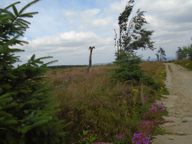
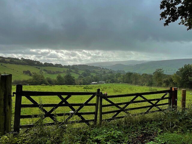
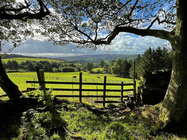
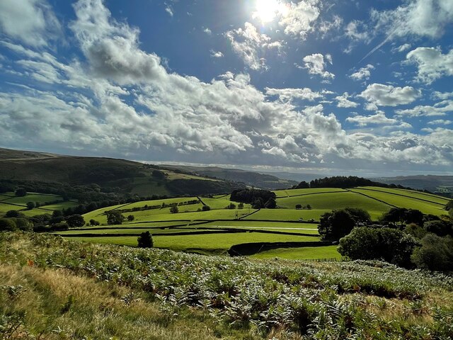
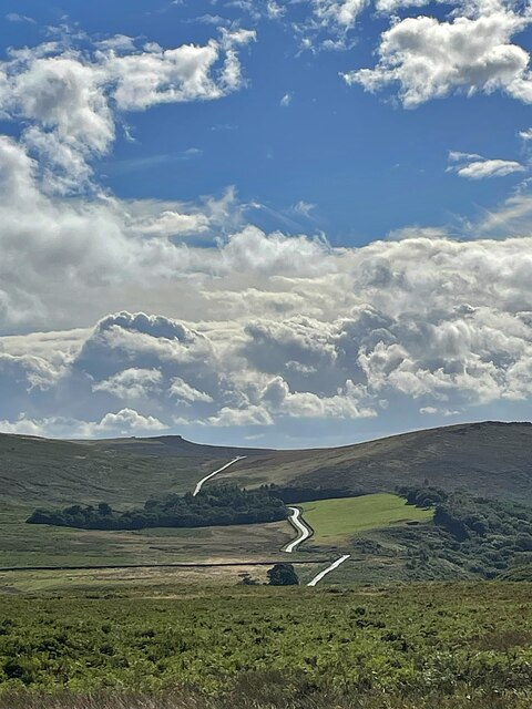
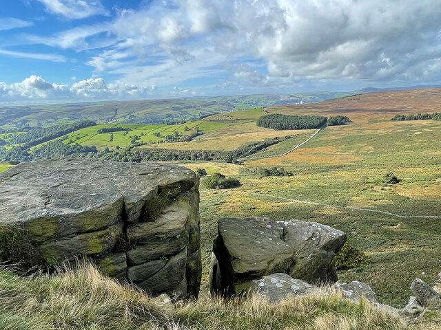
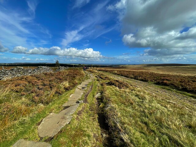
Tain Wood is a picturesque forest located in Derbyshire, England. Covering an area of approximately 200 acres, it is a popular destination for nature enthusiasts and outdoor lovers. The wood is situated near the charming village of Tain, adding to its tranquil and idyllic atmosphere.
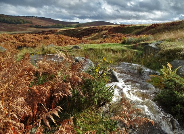
Tain Wood boasts an impressive variety of trees, including oak, birch, and beech, creating a diverse and vibrant ecosystem. The dense vegetation provides a habitat for numerous wildlife species, making it an excellent spot for birdwatching and animal spotting. Visitors may catch a glimpse of deer, foxes, and various bird species, adding to the enchantment of the wood.
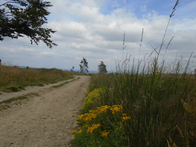
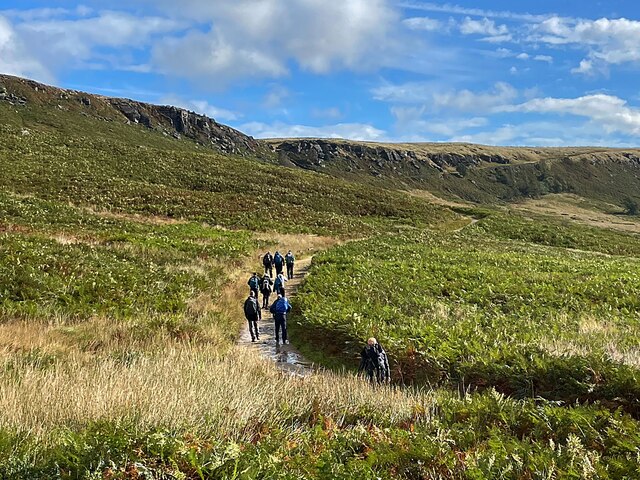
The forest offers several well-maintained walking trails that cater to different levels of fitness and ability. Whether one is looking for a leisurely stroll or a more challenging hike, Tain Wood has something to offer. The trails wind through the enchanting woodland, providing opportunities for visitors to immerse themselves in nature and enjoy the peaceful surroundings.
Tain Wood is also known for its vibrant display of wildflowers in the spring and summer months. Bluebells, primroses, and wild garlic carpet the forest floor, creating a stunning and colorful spectacle.
The wood is easily accessible by car, with ample parking available nearby. It offers a peaceful retreat from the hustle and bustle of everyday life, allowing visitors to unwind and connect with nature.
If you have any feedback on the listing, please let us know in the comments section below.
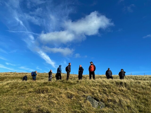
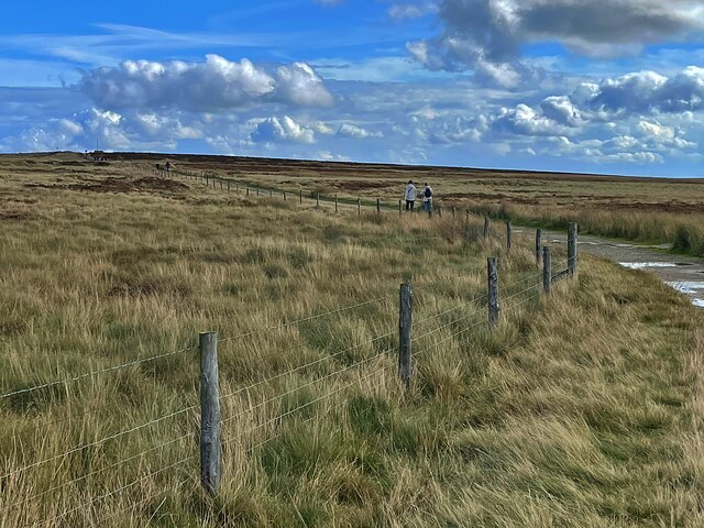
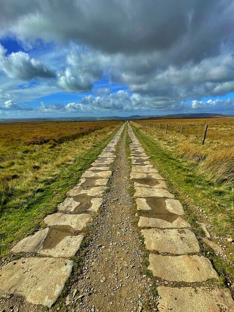
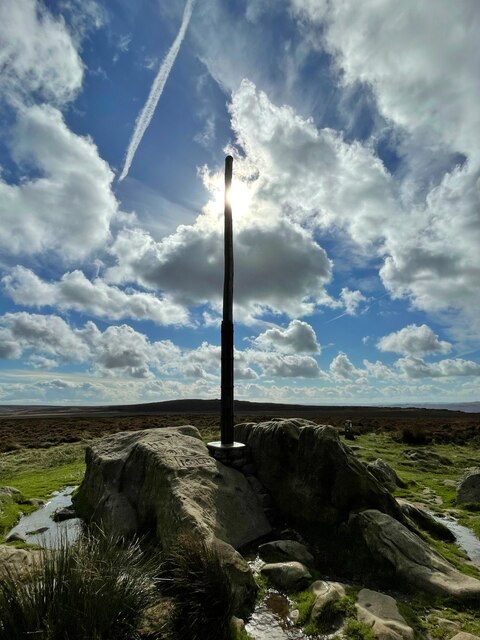
Tain Wood Images
Images are sourced within 2km of 53.347145/-1.6449803 or Grid Reference SK2383. Thanks to Geograph Open Source API. All images are credited.
Tain Wood is located at Grid Ref: SK2383 (Lat: 53.347145, Lng: -1.6449803)
Administrative County: Derbyshire
District: Derbyshire Dales
Police Authority: Derbyshire
What 3 Words
///darker.ramp.judges. Near Hathersage, Derbyshire
Nearby Locations
Related Wikis

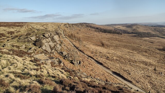
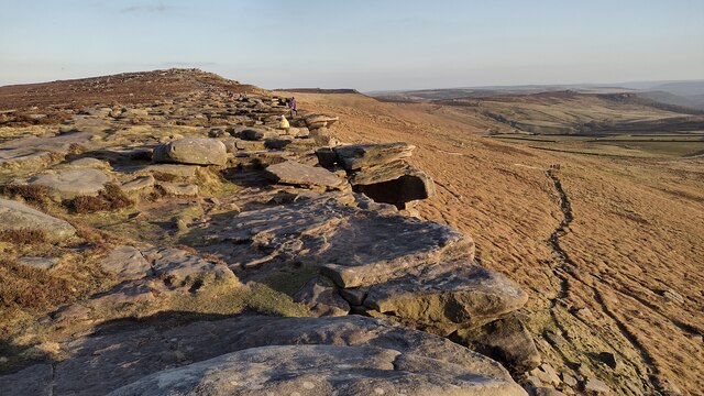
Stanage Edge
Stanage Edge, or simply Stanage (from "stone edge") is a gritstone escarpment in the Peak District, England, famous as a location for climbing. It lies...

Long Causeway
Long Causeway or Long Causey was a medieval packhorse route in England, which ran between Sheffield in South Yorkshire and Hathersage in Derbyshire. In...

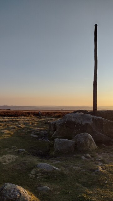
Stanedge Pole
Stanedge Pole also known as Stanage Pole (grid reference SK2468784429) is a landmark on Hallam Moors close to Stanage Edge in South Yorkshire, England...

Hood Brook
Hood Brook is a stream in the Derbyshire Peak District, originating near Stanage Edge, close to Robin Hoods Cave. == Background == Hood Brook flows south...

St Michael and All Angels' Church, Hathersage
St Michael and All Angels’ Church, Hathersage, is a Grade I listed parish church in the Church of England in Hathersage, Derbyshire. == History == The...

Hathersage
Hathersage ( HATHə-sidge) is a village and civil parish in the Peak District in Derbyshire, England. It lies slightly to the north of the River Derwent...

Higger Tor
Higger Tor or Higgar Tor is a gritstone tor in the Dark Peak, in the north of the Peak District National Park in England. It overlooks the Burbage Valley...

Hathersage railway station
Hathersage railway station serves the village of Hathersage in the Derbyshire Peak District, in England. == History == The station was opened on 25 June...
Nearby Amenities
Located within 500m of 53.347145,-1.6449803Have you been to Tain Wood?
Leave your review of Tain Wood below (or comments, questions and feedback).