Heald Wood

Wood, Forest in Derbyshire Derbyshire Dales

England

Heald Wood

Stanage Edge Stanage Edge above the path coming up from Dennis Knoll
Stanage Edge Credit: Shaun Ferguson

Heald Wood is a picturesque forest located in Derbyshire, England. Covering an area of approximately 50 acres, the wood is a popular destination for nature lovers, hikers, and wildlife enthusiasts.

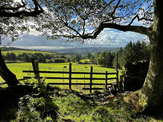
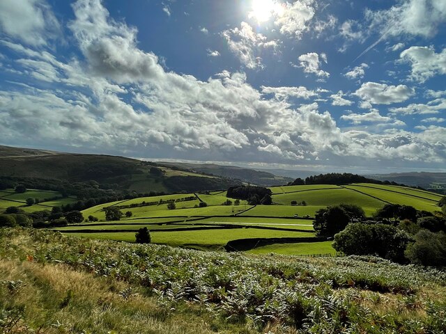
The wood is characterized by its dense canopy of mature trees, including oak, beech, and ash. These towering giants provide a habitat for a diverse range of flora and fauna, making it a haven for biodiversity. Bluebells and wild garlic carpet the forest floor during the spring months, creating a vibrant display of colors and scents.

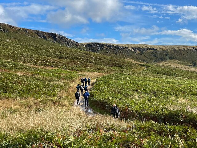
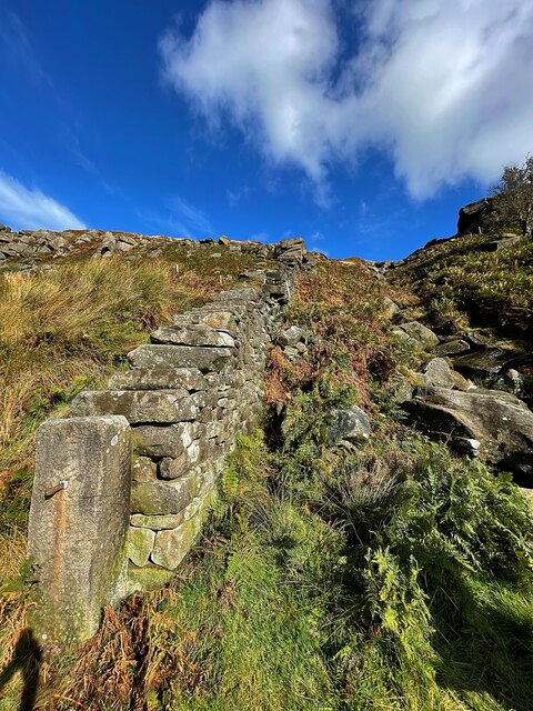
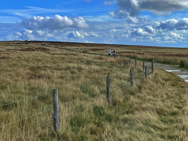
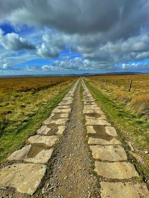
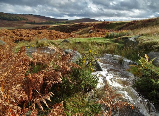
Heald Wood is crisscrossed by a network of well-maintained footpaths, allowing visitors to explore its enchanting beauty. These paths lead to various attractions within the forest, such as a tranquil pond and a small stream that meanders through the wood. The soothing sound of running water adds to the overall serenity of the surroundings.

For birdwatchers, Heald Wood offers a chance to spot a variety of species, including woodpeckers, owls, and songbirds. The forest is also home to mammals like squirrels, rabbits, and foxes, which can often be seen darting among the trees.

Heald Wood is easily accessible, with a car park located nearby for visitors' convenience. The wood is open to the public throughout the year, providing an opportunity to witness its ever-changing beauty in each season. Whether for a peaceful walk, a picnic surrounded by nature, or an exploration of the local wildlife, Heald Wood offers a delightful experience for all who venture into its leafy embrace.

If you have any feedback on the listing, please let us know in the comments section below.

Heald Wood Images

Images are sourced within 2km of 53.344492/-1.6537291 or Grid Reference SK2383. Thanks to Geograph Open Source API. All images are credited.

Stanage Edge Stanage Edge above the path coming up from Dennis Knoll
Stanage Edge
Stanage Edge above the path coming up from Dennis Knoll
Stanedge Pole Stanedge Pole on the moor above Stanage Edge
Stanedge Pole
Stanedge Pole on the moor above Stanage Edge
Stanage Edge Stanage Edge above the path to Hook's Car parking
Stanage Edge
Stanage Edge above the path to Hook's Car parking
Footpath steps climbing out of Hurst Clough This is the start of an old field path into Bamford. When Bamford Filters waterworks was constructed, the path had to be diverted around the perimeter. The area is also much more wooded than it once was.
Footpath steps climbing out of Hurst Clough
This is the start of an old field path into Bamford. When Bamford Filters waterworks was constructed, the path had to be diverted around the perimeter. The area is also much more wooded than it once was.
Derwent Aqueduct access gates and discharge well The Derwent Aqueduct was laid to bring water from the Derwent to Derby, Nottingham and Leicester. Its line is marked by distinctive access gates, like this one, which gives access to a discharge well. There is second gate, half buried in the undergrowth, in the background.
Derwent Aqueduct access gates and discharge well
The Derwent Aqueduct was laid to bring water from the Derwent to Derby, Nottingham and Leicester. Its line is marked by distinctive access gates, like this one, which gives access to a discharge well. There is second gate, half buried in the undergrowth, in the background.
Hirstclough Lane A steep byway open to all traffic to the east of Bamford
Hirstclough Lane
A steep byway open to all traffic to the east of Bamford
Cloudy sky over the Derwent Valley From Hurstclough Lane. Fortunately the grey clouds passed without depositing too much rain.
Cloudy sky over the Derwent Valley
From Hurstclough Lane. Fortunately the grey clouds passed without depositing too much rain.
Looking over the Derwent Valley From a public footpath in Bolehill Wood.
Looking over the Derwent Valley
From a public footpath in Bolehill Wood.
Cloudy blue sky over green fields and trees The glorious view to the east from Bole Hill
Cloudy blue sky over green fields and trees
The glorious view to the east from Bole Hill
Walking up to Stanage Edge This path provides a gentle climb to the edge.
Walking up to Stanage Edge
This path provides a gentle climb to the edge.
View from a path to Stanage Edge The minor road runs over Cattis-side Moor between Stanage Edge and Carrhead Rocks.
View from a path to Stanage Edge
The minor road runs over Cattis-side Moor between Stanage Edge and Carrhead Rocks.
Wall and stream below Stanage Edge
The view from Stanage Edge Looking over Bamford Moor to the Hope Valley.
The view from Stanage Edge
Looking over Bamford Moor to the Hope Valley.
On Stanage Edge A group of walkers are admiring the view.
On Stanage Edge
A group of walkers are admiring the view.
The path to Stanedge Pole
Byway between Stanedge Pole and Stanage Edge Strange that the pole <a href="https://www.geograph.org.uk/photo/6981418">SK2484 : Stanedge Pole</a> and the edge are spelled differently.
Byway between Stanedge Pole and Stanage Edge
Strange that the pole SK2484 : Stanedge Pole and the edge are spelled differently.
Hood Brook draining through Sheepwash Bank
At the junction of Birley Lane and Coggers Lane Looking towards Hope Cement Works in The Hope Valley.
At the junction of Birley Lane and Coggers Lane
Looking towards Hope Cement Works in The Hope Valley.
Show me another place!

Heald Wood is located at Grid Ref: SK2383 (Lat: 53.344492, Lng: -1.6537291)

Administrative County: Derbyshire

District: Derbyshire Dales

Police Authority: Derbyshire

What 3 Words

///neon.sings.giant. Near Hathersage, Derbyshire

Related Wikis

Hood Brook

Hood Brook is a stream in the Derbyshire Peak District, originating near Stanage Edge, close to Robin Hoods Cave. == Background == Hood Brook flows south...

St Michael and All Angels' Church, Hathersage

St Michael and All Angels’ Church, Hathersage, is a Grade I listed parish church in the Church of England in Hathersage, Derbyshire. == History == The...
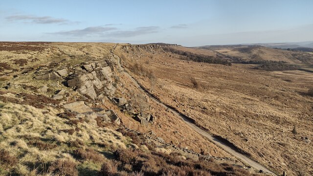
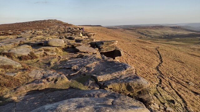
Stanage Edge

Stanage Edge, or simply Stanage (from "stone edge") is a gritstone escarpment in the Peak District, England, famous as a location for climbing. It lies...

Long Causeway

Long Causeway or Long Causey was a medieval packhorse route in England, which ran between Sheffield in South Yorkshire and Hathersage in Derbyshire. In...

Hathersage

Hathersage ( HATHə-sidge) is a village and civil parish in the Peak District in Derbyshire, England. It lies slightly to the north of the River Derwent...
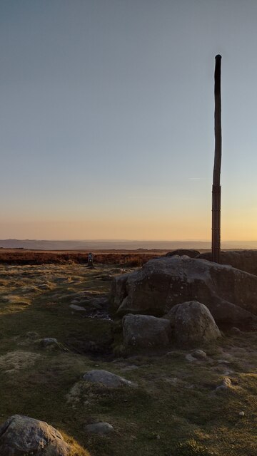
Stanedge Pole

Stanedge Pole also known as Stanage Pole (grid reference SK2468784429) is a landmark on Hallam Moors close to Stanage Edge in South Yorkshire, England...

Hathersage railway station

Hathersage railway station serves the village of Hathersage in the Derbyshire Peak District, in England. == History == The station was opened on 25 June...

Bamford

Bamford is a village in the Peak District, Derbyshire, England, close to the River Derwent. To the north-east is Bamford Edge, and to the north-west the...

Nearby Amenities

Located within 500m of 53.344492,-1.6537291
Barrier: cattle_grid
Lat/Long: 53.3448048/-1.6466886
Barrier: stile
Source: survey;gps
Lat/Long: 53.3482066/-1.6544866
Barrier: kissing_gate
Source: survey
Lat/Long: 53.3426353/-1.6499568
Barrier: stile
Material: stone
Source: survey;gps
Stile: squeezer
Lat/Long: 53.3421652/-1.6518064
Barrier: stile
Material: stone
Source: survey;gps
Stile: squeezer
Lat/Long: 53.3426244/-1.6520636
Barrier: stile
Material: stone
Source: survey;gps
Stile: stepover
Lat/Long: 53.3447756/-1.6528926
Barrier: kissing_gate
Source: survey;gps
Lat/Long: 53.3410519/-1.6505562
Barrier: cattle_grid
Lat/Long: 53.3444481/-1.6491495
Information: guidepost
Operator: Peak & Northern Footpaths Society
Ref: 262
Source: survey;gps
Tourism: information
Lat/Long: 53.3477001/-1.6535065
Bench
Backrest: yes
Inscription: Joan Amy Higgins. Paradise Regained. 1940-2010
Material: wood
Lat/Long: 53.3476348/-1.6536047
Natural: spring
Lat/Long: 53.3482001/-1.6513339
The data included in this document is from www.openstreetmap.org. The data is made available under ODbL.

Have you been to Heald Wood?

Leave your review of Heald Wood below (or comments, questions and feedback).