Cartmel Sands
Coastal Marsh, Saltings in Lancashire South Lakeland
England
Cartmel Sands
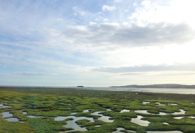
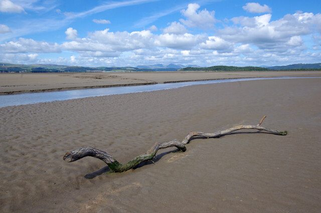
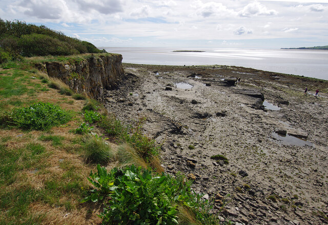
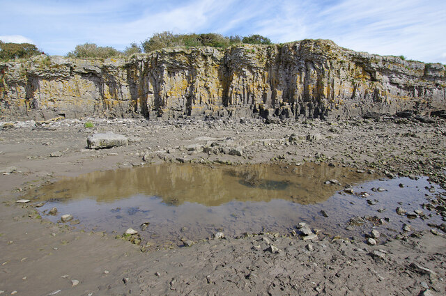
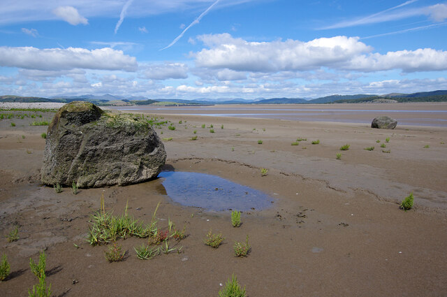
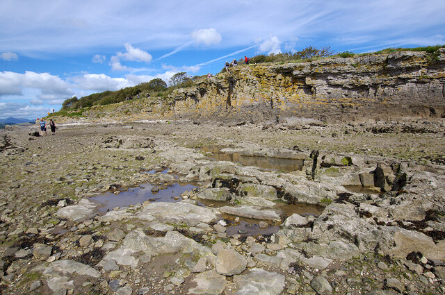
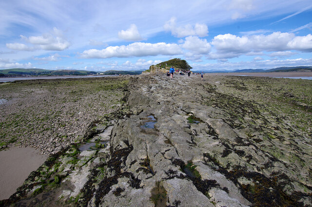
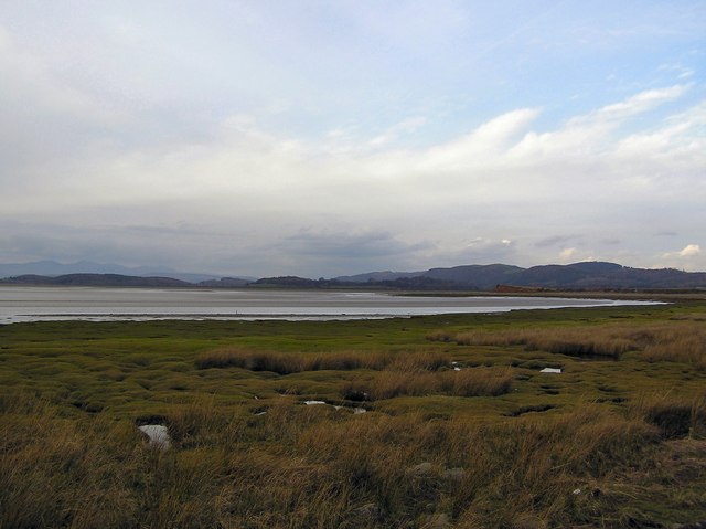
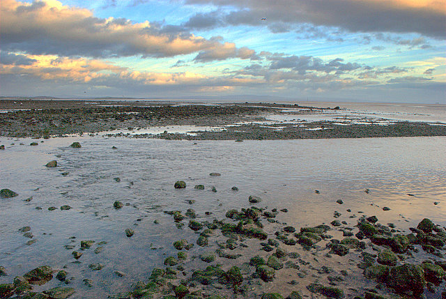
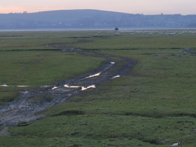
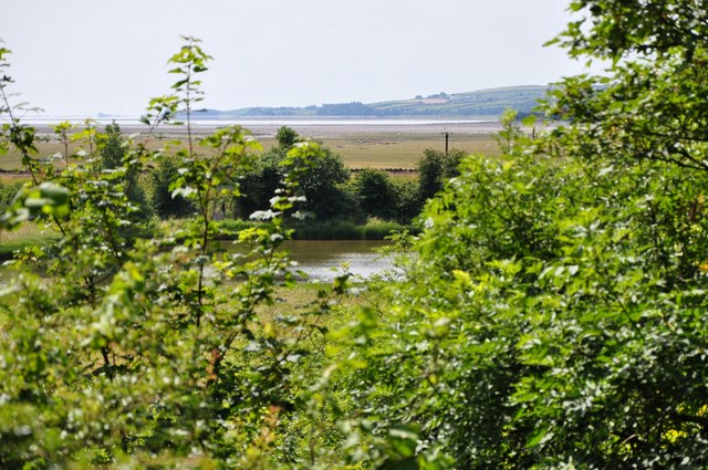
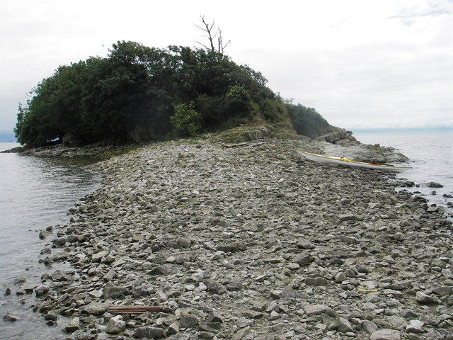
Cartmel Sands is a picturesque stretch of coastline located in the southern part of the Lake District National Park in Lancashire, England. This area is characterized by its sandy beaches, coastal marshes, and saltings, making it a popular destination for nature lovers and outdoor enthusiasts.
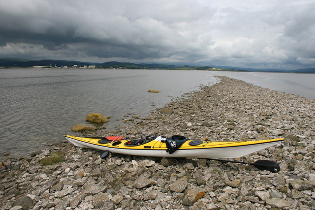
The sandy beaches at Cartmel Sands are perfect for sunbathing, picnicking, and beachcombing. Visitors can enjoy stunning views of Morecambe Bay and the surrounding countryside from the shoreline. The coastal marshes and saltings are home to a diverse range of plant and animal species, including wading birds, salt-tolerant plants, and rare insects.
The area is also popular for birdwatching, with a variety of seabirds and waterfowl frequenting the marshes and saltings. Visitors can explore the coastline on foot or by bike, taking in the natural beauty of the area and spotting wildlife along the way.
Overall, Cartmel Sands is a peaceful and scenic spot that offers a chance to connect with nature and enjoy the beauty of the Lancashire coastline.
If you have any feedback on the listing, please let us know in the comments section below.
Cartmel Sands Images
Images are sourced within 2km of 54.174298/-3.0267703 or Grid Reference SD3375. Thanks to Geograph Open Source API. All images are credited.

![Old Park Estate land Looking across Old Park estate land from the edge of Old Park wood across a field of silage[?] bales, showing a dividing wall to the right and the woods of Holker Park in the distance.](https://s0.geograph.org.uk/geophotos/01/39/50/1395044_d8e287d5.jpg)
Cartmel Sands is located at Grid Ref: SD3375 (Lat: 54.174298, Lng: -3.0267703)
Administrative County: Cumbria
District: South Lakeland
Police Authority: Cumbria
What 3 Words
///improvise.gave.cable. Near Flookburgh, Cumbria
Nearby Locations
Related Wikis
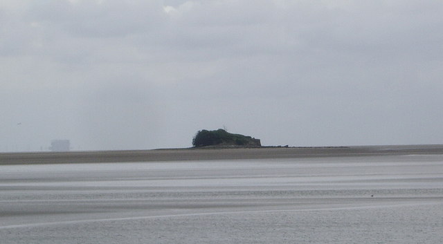
Chapel Island
Chapel Island is a limestone outcrop that lies in the Leven estuary of Morecambe Bay in England, less than one mile (1.6 km) from the shoreline at Bardsea...
River Eea
The River Eea () is a small river in the Lake District, Cumbria, England running through the Furness region, which until 1974 was part of Lancashire. It...

Canal Foot
Canal Foot is an industrial village in Cumbria, England, on the Leven estuary. It is located 1.7 miles (2.7 km) by road to the east of the centre of Ulverston...

Conishead Priory
Conishead Priory is a large Gothic Revival building on the Furness peninsula near Ulverston in Cumbria. The priory's name translates literally as "King...
Have you been to Cartmel Sands?
Leave your review of Cartmel Sands below (or comments, questions and feedback).