Powder House Point

Coastal Marsh, Saltings in Monmouthshire

Wales

Powder House Point

Winter reedbeds, Newport Wetlands Winter reedbeds next to the paraphernalia of the adjacent Uskmouth Power Station.
There was a good number of visitors on this bright January day following a very stormy period.
Numbers were also boosted following an episode of the BBC TV Countryfile program from here the previous Sunday.
Winter reedbeds, Newport Wetlands Credit: Robin Drayton

The requested URL returned error: 429 Too Many Requests

If you have any feedback on the listing, please let us know in the comments section below.

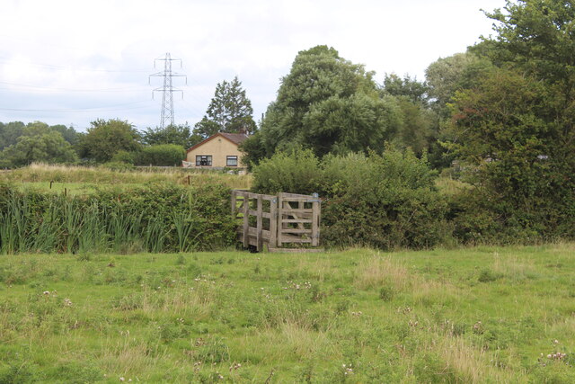
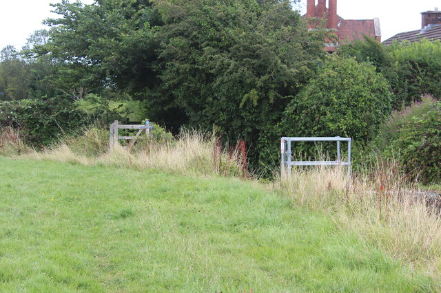
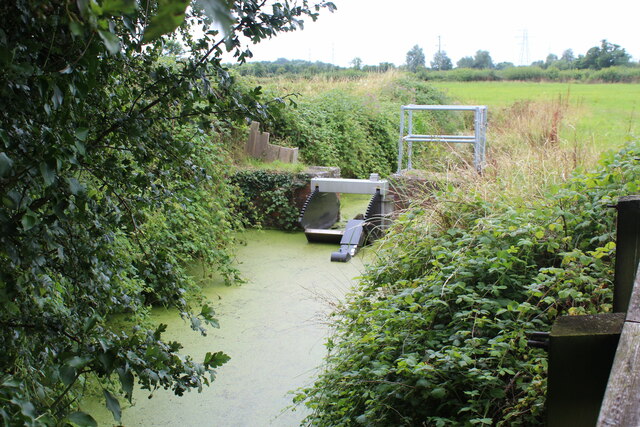
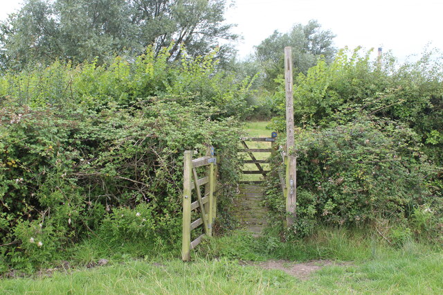
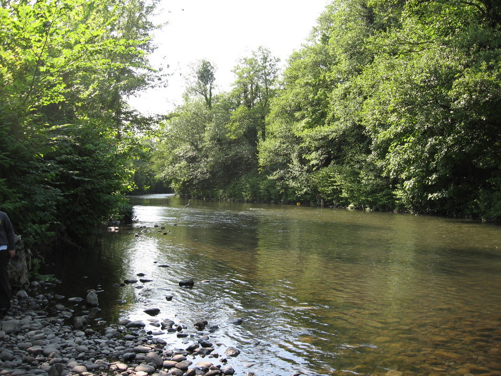
Powder House Point Images

Images are sourced within 2km of 51.5566/-2.9691703 or Grid Reference ST3284. Thanks to Geograph Open Source API. All images are credited.

Winter reedbeds, Newport Wetlands Winter reedbeds next to the paraphernalia of the adjacent Uskmouth Power Station.
There was a good number of visitors on this bright January day following a very stormy period.
Numbers were also boosted following an episode of the BBC TV Countryfile program from here the previous Sunday.
Winter reedbeds, Newport Wetlands
Winter reedbeds next to the paraphernalia of the adjacent Uskmouth Power Station. There was a good number of visitors on this bright January day following a very stormy period. Numbers were also boosted following an episode of the BBC TV Countryfile program from here the previous Sunday.
Way marker, Newport Wetlands There are a variety of local and longer paths that pass through the reedbeds.
Way marker, Newport Wetlands
There are a variety of local and longer paths that pass through the reedbeds.
Ordnance Survey Cut Mark This OS cut mark can be found on the gatehouse at the entrance to the Power Station. It marks a point 7.788m above mean sea level.
Ordnance Survey Cut Mark
This OS cut mark can be found on the gatehouse at the entrance to the Power Station. It marks a point 7.788m above mean sea level.
Footbridge on Wales Coast Path Bridge over ditch just to west of Nash village.
Footbridge on Wales Coast Path
Bridge over ditch just to west of Nash village.
Footbridge over Skinner's Reen The route of the Wales Coast Path, waymarked on the bridge, seems to differ from the OS map. The railings restrict access to a sluice <a href="https://www.geograph.org.uk/photo/6933579">ST3483 : Sluice on Skinner's Reen</a>. The red roof is of the Wellington Inn.
Footbridge over Skinner's Reen
The route of the Wales Coast Path, waymarked on the bridge, seems to differ from the OS map. The railings restrict access to a sluice ST3483 : Sluice on Skinner's Reen. The red roof is of the Wellington Inn.
Sluice on Skinner's Reen Sluice viewed from footbridge over reen at bend in reen.
Sluice on Skinner's Reen
Sluice viewed from footbridge over reen at bend in reen.
Gated footbridge between grass fields The Wales Coast Path leaving a large grass field.
Gated footbridge between grass fields
The Wales Coast Path leaving a large grass field.
Gated footbridge on Wales Coast Path Bridge over drain between fields.
Gated footbridge on Wales Coast Path
Bridge over drain between fields.
Impassable overgrown boardwalk The boardwalk, on the Wales Coast Path, joins a wooden footbridge <a href="https://www.geograph.org.uk/photo/6937531">ST3483 : Overgrown gated footbridge</a>, also overgrown with brambles!
Impassable overgrown boardwalk
The boardwalk, on the Wales Coast Path, joins a wooden footbridge ST3483 : Overgrown gated footbridge, also overgrown with brambles!
Overgrown gated footbridge The bridge, on the Wales Coast Path, leads to an impassable boardwalk <a href="https://www.geograph.org.uk/photo/6937517">ST3483 : Impassable overgrown boardwalk</a>.
Overgrown gated footbridge
The bridge, on the Wales Coast Path, leads to an impassable boardwalk ST3483 : Impassable overgrown boardwalk.
Footbridge over grip, Wales Coast Path Wooden footbridge over grip (shallow field drain); two more overgrown similar bridges on the Path can be seen further along.
Footbridge over grip, Wales Coast Path
Wooden footbridge over grip (shallow field drain); two more overgrown similar bridges on the Path can be seen further along.
Gated footbridge between grass fields Wooden footbridge over ditch on Wales Coast Path.
Gated footbridge between grass fields
Wooden footbridge over ditch on Wales Coast Path.
Partly overgrown footbridge over grip Bridge on Wales Coast Path which continues to gated footbridge <a href="https://www.geograph.org.uk/photo/6944074">ST3383 : Gated footbridge between grass fields</a>.
Partly overgrown footbridge over grip
Bridge on Wales Coast Path which continues to gated footbridge ST3383 : Gated footbridge between grass fields.
Footbridge from Fish House Lane The Wales Coast Path continues from the gated bridge to a series of field footbridges <a href="https://www.geograph.org.uk/photo/6944050">ST3383 : Footbridge over grip, Wales Coast Path</a>.
Footbridge from Fish House Lane
The Wales Coast Path continues from the gated bridge to a series of field footbridges ST3383 : Footbridge over grip, Wales Coast Path.
Gates from Fish House Lane The Wales Coast Path goes through the two pedestrian kissing gates on to the grassy track in the Newport Wetlands NNR.
Gates from Fish House Lane
The Wales Coast Path goes through the two pedestrian kissing gates on to the grassy track in the Newport Wetlands NNR.
Overgrown grass track to Perry Lane The Wales Coast Path follows this track on the edge of the nature reserve; the house at Great House Farm, is on West Nash Road.
Overgrown grass track to Perry Lane
The Wales Coast Path follows this track on the edge of the nature reserve; the house at Great House Farm, is on West Nash Road.
Gated track off Perry Lane The Wales Coast Path goes into the nature reserve through the small gate, and in the other direction to the left on the Lane.
Gated track off Perry Lane
The Wales Coast Path goes into the nature reserve through the small gate, and in the other direction to the left on the Lane.
Bus shelter, car park at RSPB Visitor Centre The wooden signpost indicates the route of the Wales Coast Path into the nature reserve.
Bus shelter, car park at RSPB Visitor Centre
The wooden signpost indicates the route of the Wales Coast Path into the nature reserve.
Show me another place!

Powder House Point is located at Grid Ref: ST3284 (Lat: 51.5566, Lng: -2.9691703)

Unitary Authority: Newport

Police Authority: Gwent

What 3 Words

///fever.bucks.vines. Near Nash, Newport

Nearby Locations

Powder House Point

Related Wikis

Newport Docks

Newport Docks is the collective name for a group of docks in the city of Newport, south-east Wales. By the eighteenth century there were a number of wharves...

Uskmouth power stations

The Uskmouth power stations (also known as the Fifoots Point power stations) refers to a series of two coal-fired power stations at the mouth of the River...

Ebbw River

The Ebbw River (; Welsh: Afon Ebwy) is a river in South Wales which gives its name to the town of Ebbw Vale. The Ebbw River is joined by the Ebbw Fach...
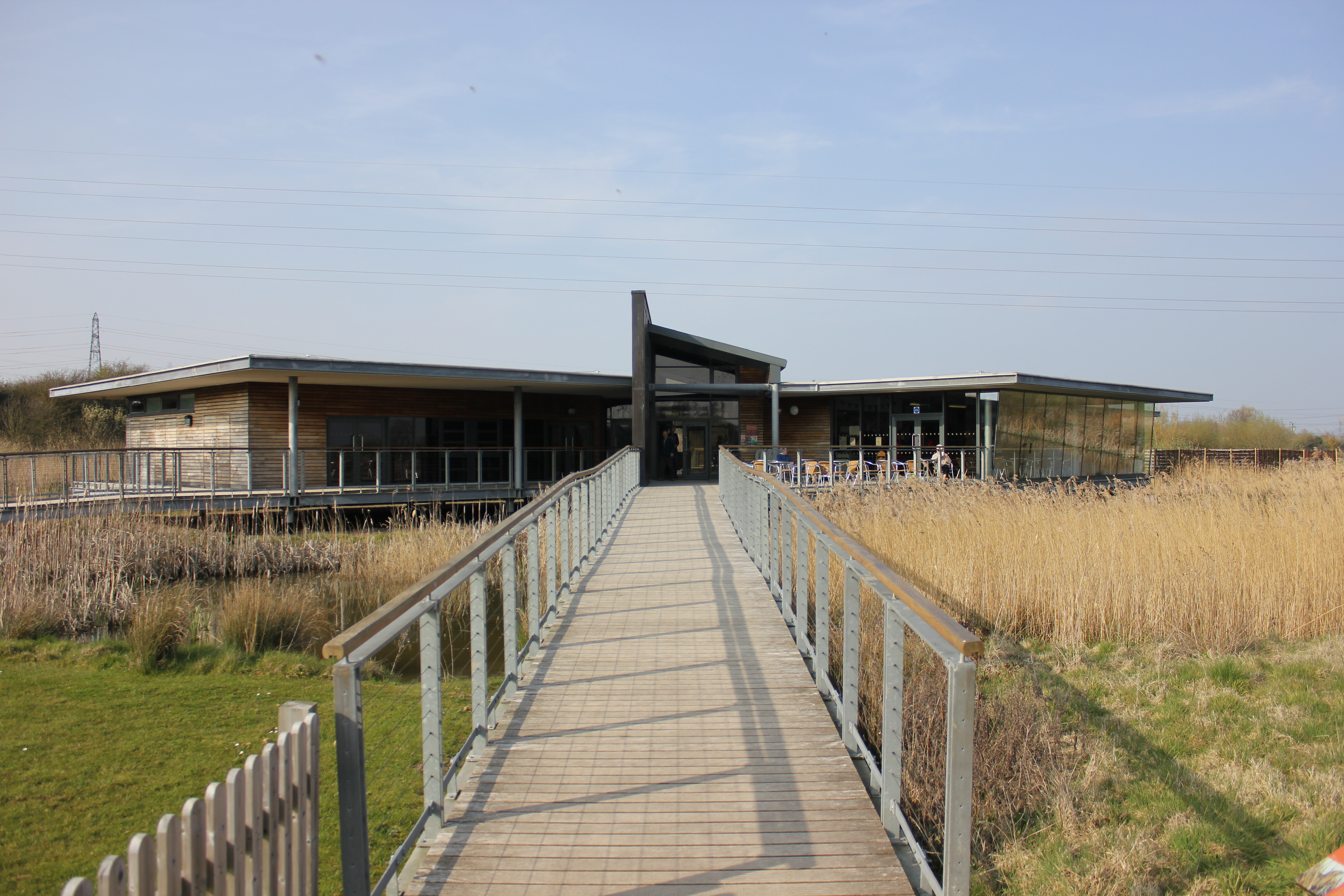
Newport Wetlands

Newport Wetlands is a wildlife reserve covering parts of Uskmouth, Nash and Goldcliff, in the south-east of the city of Newport, South Wales. == History... ==

Nearby Amenities

Located within 500m of 51.5566,-2.9691703
Source: PGS
Lat/Long: 51.5538233/-2.9740278
Source: PGS
Lat/Long: 51.5538799/-2.9737939
Source: PGS
Lat/Long: 51.5540168/-2.974148
Source: PGS
Lat/Long: 51.5540054/-2.9732864
Source: PGS
Lat/Long: 51.5541161/-2.9730826
Source: PGS
Lat/Long: 51.5541975/-2.9732757
Source: PGS
Lat/Long: 51.5544871/-2.9721867
Source: PGS
Lat/Long: 51.5546778/-2.9717286
Source: PGS
Lat/Long: 51.5547979/-2.9714539
Source: PGS
Lat/Long: 51.5550514/-2.9709926
Source: PGS
Lat/Long: 51.5553396/-2.9705774
Source: PGS
Lat/Long: 51.5556677/-2.9701021
Source: PGS
Lat/Long: 51.5559652/-2.9697524
Source: PGS
Lat/Long: 51.5562321/-2.9695624
Source: PGS
Lat/Long: 51.5568531/-2.9692781
Source: PGS
Lat/Long: 51.5573087/-2.9692932
Source: PGS
Lat/Long: 51.5575649/-2.9693533
Source: PGS
Lat/Long: 51.557873/-2.9694878
Source: PGS
Lat/Long: 51.5581302/-2.9697571
Source: PGS
Lat/Long: 51.5584871/-2.9700832
Source: PGS
Lat/Long: 51.5593396/-2.9711605
Source: PGS
Lat/Long: 51.5596677/-2.9716776
Source: PGS
Lat/Long: 51.5599688/-2.9720956
Source: PGS
Lat/Long: 51.5603544/-2.9729292
Source: PGS
Lat/Long: 51.5607953/-2.9677009
Source: PGS
Lat/Long: 51.5605637/-2.9672648
Source: PGS
Lat/Long: 51.560218/-2.966846
Source: PGS
Lat/Long: 51.559672/-2.9662867
Source: PGS
Lat/Long: 51.5592584/-2.9659327
Source: PGS
Lat/Long: 51.5587181/-2.9654553
Source: PGS
Lat/Long: 51.5585514/-2.9653265
Source: PGS
Lat/Long: 51.5580044/-2.9652406
Source: PGS
Lat/Long: 51.5573574/-2.9650315
Source: PGS
Lat/Long: 51.553733/-2.9655167
Source: PGS
Lat/Long: 51.553256/-2.9652109
Source: PGS
Lat/Long: 51.552998/-2.9661526
Source: PGS
Lat/Long: 51.5534417/-2.9666622
Source: PGS
Lat/Long: 51.5533282/-2.9669734
Source: PGS
Lat/Long: 51.552978/-2.9677995
Source: PGS
Lat/Long: 51.5526645/-2.9681267
Source: PGS
Lat/Long: 51.552491/-2.9685076
Source: PGS
Lat/Long: 51.5521608/-2.9690709
Source: PGS
Lat/Long: 51.5569738/-2.9657449
Newport Uskmouth Sailing Club
Waterway: boatyard
Lat/Long: 51.5528917/-2.9668324
Railway: level_crossing
Lat/Long: 51.5586852/-2.9744705
Railway: level_crossing
Lat/Long: 51.5583424/-2.974452
Power: tower
Lat/Long: 51.5587119/-2.9648291
Power: tower
Lat/Long: 51.5555648/-2.9647004
Seamark Information: 6
Seamark Light Category: vertical
Seamark Light Character: F
Seamark Light Colour: green
Seamark Light Height: 2
Seamark Light Multiple: 2
Seamark Light Range: 4
Seamark Light Reference: A 5470.2
Seamark Type: light_minor
Source: US NGA Pub. 114. 2011-05-26.
Lat/Long: 51.5570501/-2.9657356
Seamark Information: 6
Seamark Light Category: vertical
Seamark Light Character: F
Seamark Light Colour: green
Seamark Light Height: 2
Seamark Light Multiple: 2
Seamark Light Range: 4
Seamark Light Reference: A 5470
Seamark Type: light_minor
Source: US NGA Pub. 114. 2011-05-26.
Lat/Long: 51.5557/-2.9657833
Seamark Light Category: upper
Seamark Light Character: F
Seamark Light Colour: green
Seamark Light Height: 8
Seamark Light Range: 4
Seamark Light Reference: A 5467.9
Seamark Type: light_minor
Source: US NGA Pub. 114. 2011-05-26.
Lat/Long: 51.5553833/-2.9648333
Seamark Light Category: lower
Seamark Light Character: F
Seamark Light Colour: green
Seamark Light Height: 5
Seamark Light Range: 4
Seamark Light Reference: A 5468
Seamark Type: light_minor
Source: US NGA Pub. 114. 2011-05-26.
Lat/Long: 51.5552173/-2.9652999
Powder House Point
Place: locality
Lat/Long: 51.5568318/-2.9700507
Steel Works Quay
Place: locality
Lat/Long: 51.5561199/-2.9657029
Generator Method: wind_turbine
Generator Source: wind
Generator Type: horizontal_axis
Power: generator
Lat/Long: 51.5558407/-2.9738478
Generator Method: wind_turbine
Generator Source: wind
Generator Type: horizontal_axis
Power: generator
Lat/Long: 51.5587589/-2.9721437
The data included in this document is from www.openstreetmap.org. The data is made available under ODbL.

Have you been to Powder House Point?

Leave your review of Powder House Point below (or comments, questions and feedback).