Brake Copse

Wood, Forest in Devon Mid Devon

England

Brake Copse

Bampton : Grassy Field A field being used as a car park for the Bampton Fair.
Bampton : Grassy Field Credit: Lewis Clarke

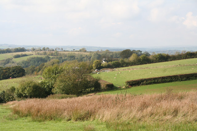
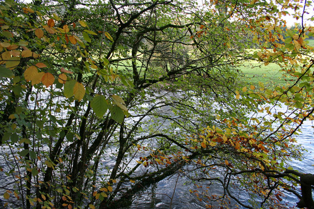
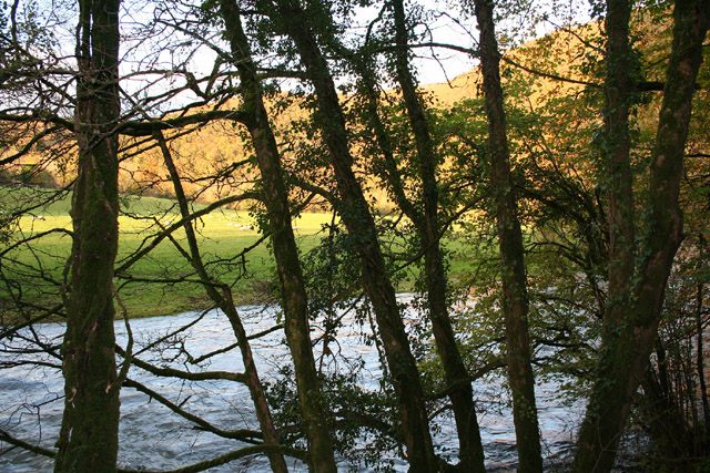
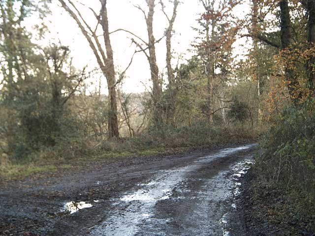
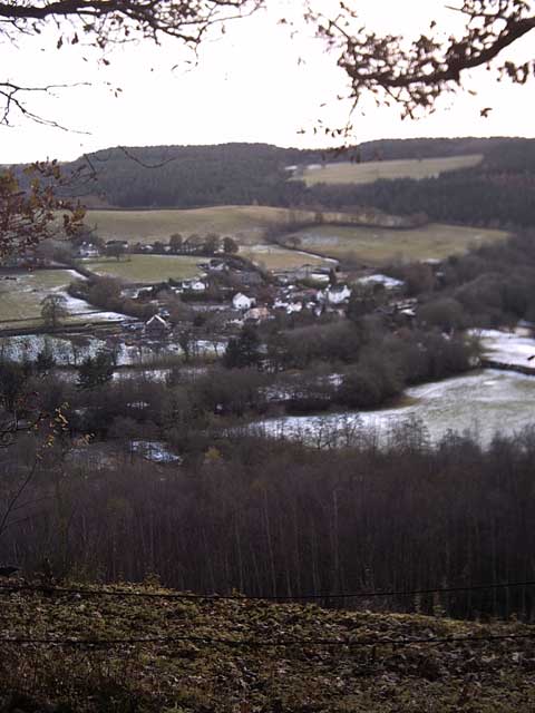
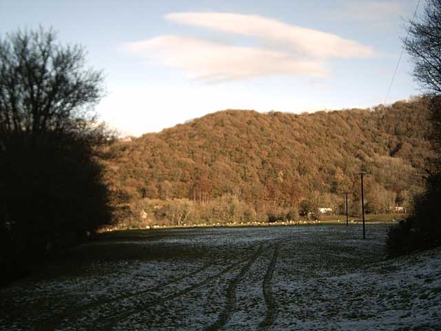
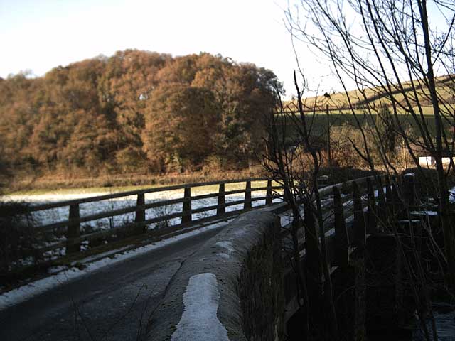
Brake Copse is a picturesque wood located in the county of Devon, England. Nestled amidst the rolling hills and quaint villages, this enchanting forest covers an area of approximately 50 acres. It is a popular destination for nature lovers and outdoor enthusiasts, offering a serene and tranquil environment.

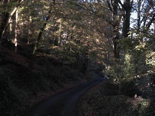
The copse is predominantly composed of native broadleaf trees, such as oak, beech, and ash, which create a dense canopy overhead, providing shade and shelter to a variety of wildlife. The forest floor is adorned with an array of wildflowers, ferns, and mosses, adding to the charm and beauty of the woodland.

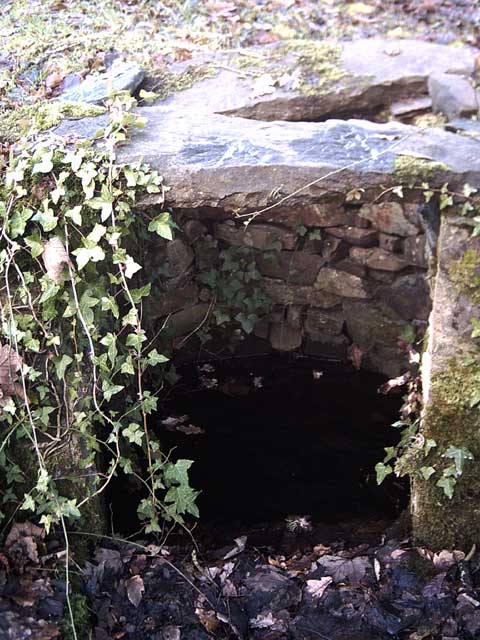
Visitors to Brake Copse can enjoy a network of well-maintained walking trails that wind through the forest, allowing them to explore its hidden treasures. These paths are suitable for all ages and abilities, making it an ideal destination for families and individuals alike. Along the trails, hikers may encounter small streams and ponds, adding to the peaceful ambiance of the area.

The copse is home to a diverse range of wildlife, including deer, foxes, badgers, and a variety of bird species. Nature enthusiasts can often spot these creatures in their natural habitat, especially during the early morning or late evening hours.

Brake Copse is not only a haven for wildlife but also serves as an important ecological site. It helps to maintain the biodiversity of the region and provides a vital habitat for various flora and fauna.

Overall, Brake Copse in Devon is a breathtaking woodland, offering visitors an opportunity to immerse themselves in the beauty of nature and experience the tranquility of this idyllic forest.

If you have any feedback on the listing, please let us know in the comments section below.
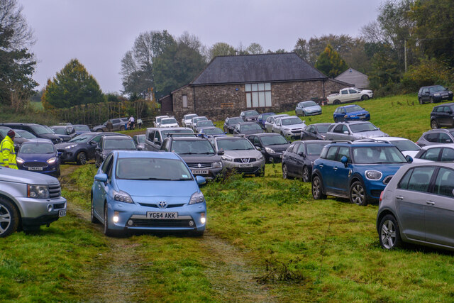
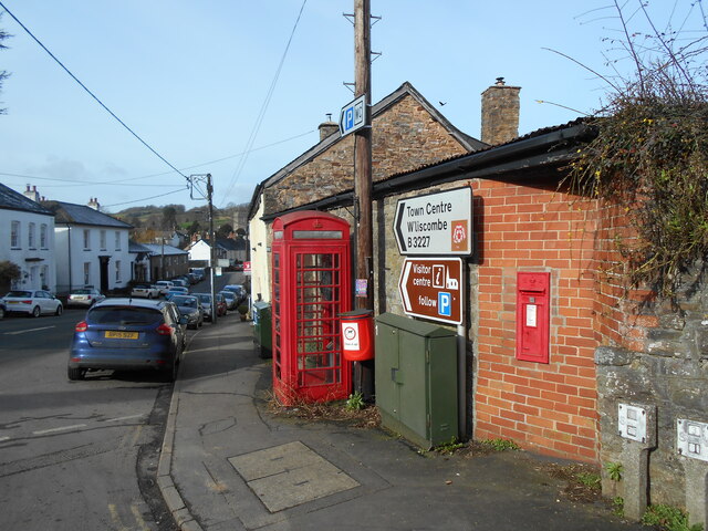
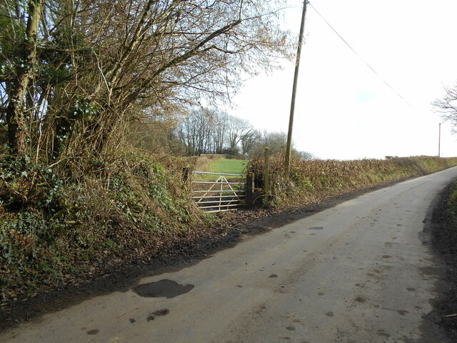
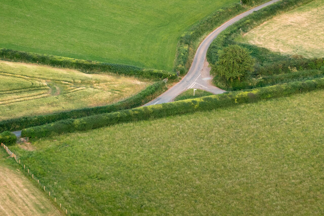
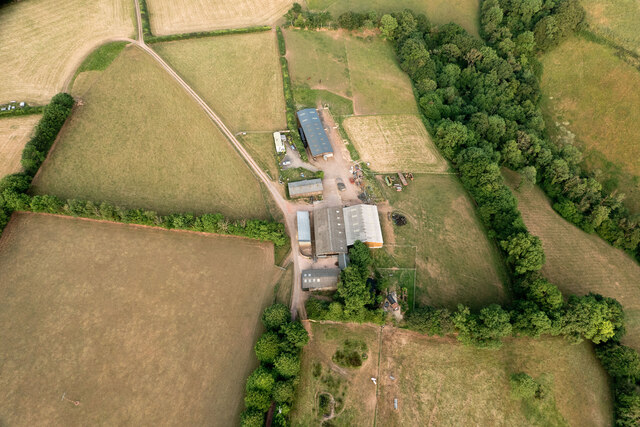
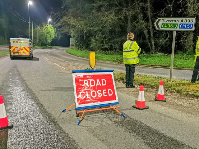
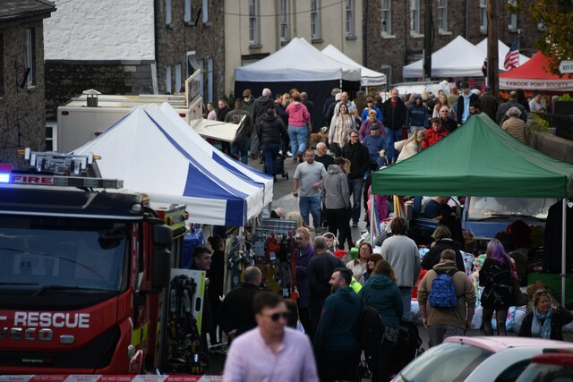
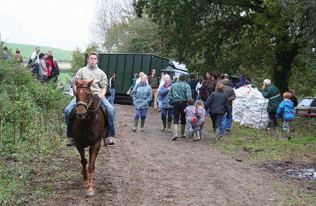
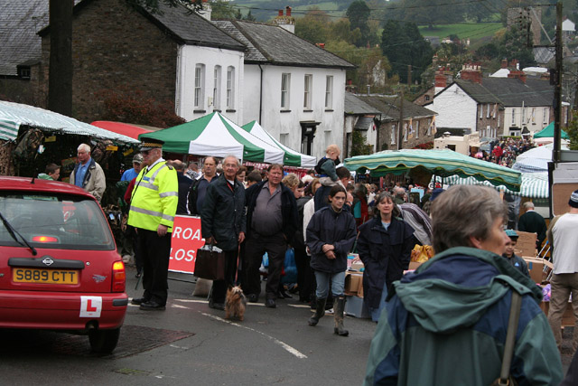
Brake Copse Images

Images are sourced within 2km of 50.972203/-3.4745407 or Grid Reference SS9620. Thanks to Geograph Open Source API. All images are credited.

Bampton : Grassy Field A field being used as a car park for the Bampton Fair.
Bampton : Grassy Field
A field being used as a car park for the Bampton Fair.
A fine pair, Briton Street A K6 telephone box and an Edward VII wall post box.
A Fine Pair is a term used to describe a post and phone box in close proximity to each other. A cache can be found close to them.
A fine pair, Briton Street
A K6 telephone box and an Edward VII wall post box. A Fine Pair is a term used to describe a post and phone box in close proximity to each other. A cache can be found close to them.
Footpath near Kersdown Barn Cutting the corner off a field to join a nearby trackway.
Footpath near Kersdown Barn
Cutting the corner off a field to join a nearby trackway.
A road junction near Nine Ash Cross
Barns & sheds on Shute Farm
Bampton : A396 The road is closed due to a fatal fire.
Bampton : A396
The road is closed due to a fatal fire.
Bampton : Brook Street Looking along Brook Street during the Bampton Fair.
Bampton : Brook Street
Looking along Brook Street during the Bampton Fair.
Tiverton: Shute Farm The farm overlooks the Exe valley to the west
Tiverton: Shute Farm
The farm overlooks the Exe valley to the west
Bampton: Bampton Charter Fair The poultry and pony sales are held by the old road to Tiverton via Bampton Down. Bampton Fair has been held since 1258. In the 1950s the October fair was renowned for the sale of sheep and cattle, and particularly for Exmoor ponies, but in 2005 its original function has largely vanished – no sheep nor cattle for sale and precious few ponies, and these tending to be of the ‘Thelwell’ type
Bampton: Bampton Charter Fair
The poultry and pony sales are held by the old road to Tiverton via Bampton Down. Bampton Fair has been held since 1258. In the 1950s the October fair was renowned for the sale of sheep and cattle, and particularly for Exmoor ponies, but in 2005 its original function has largely vanished – no sheep nor cattle for sale and precious few ponies, and these tending to be of the ‘Thelwell’ type
Bampton: Bampton Charter Fair The fair seen from near the Seahorse Inn, Briton Street. Bampton’s streets are closed to through traffic for the day. Held on the last Thursday in October, for centuries the fair functioned as a livestock market, it now caters for families rather than farmers
Bampton: Bampton Charter Fair
The fair seen from near the Seahorse Inn, Briton Street. Bampton’s streets are closed to through traffic for the day. Held on the last Thursday in October, for centuries the fair functioned as a livestock market, it now caters for families rather than farmers
Tiverton: the Exe at Cove Cleave The river flows strongly after the early November rains
Tiverton: the Exe at Cove Cleave
The river flows strongly after the early November rains
Tiverton: the Exe at Cove Cleave The river flows strongly after the early November rains
Tiverton: the Exe at Cove Cleave
The river flows strongly after the early November rains
Exe Valley Way near Holmingham Wood The Way leaves the valley and climbs up to the ridge above Holmingham Quarry.
Exe Valley Way near Holmingham Wood
The Way leaves the valley and climbs up to the ridge above Holmingham Quarry.
Exe Valley Way near Bampton So this isn't the Exe Valley, this is the Batherm Valley. But Bampton a nice place to visit so the way goes this way.
Exe Valley Way near Bampton
So this isn't the Exe Valley, this is the Batherm Valley. But Bampton a nice place to visit so the way goes this way.
Well at Holmingham Wood Taken on the Exe Valley Way. This well is 157m above sea level, ~60m above the valley below. I'm not sure how the water gets here.
Well at Holmingham Wood
Taken on the Exe Valley Way. This well is 157m above sea level, ~60m above the valley below. I'm not sure how the water gets here.
View of Cove from Holmingham Woods Taken on the Exe Valley Way. This is the view from the ridge above Holmingham Quarry.
View of Cove from Holmingham Woods
Taken on the Exe Valley Way. This is the view from the ridge above Holmingham Quarry.
Farmland near Halfpenny Bridge Taken on the Exe Valley Way.
Farmland near Halfpenny Bridge
Taken on the Exe Valley Way.
Halfpenny Bridge Taken on the Exe Valley Way.
Halfpenny Bridge
Taken on the Exe Valley Way.
Show me another place!

Brake Copse is located at Grid Ref: SS9620 (Lat: 50.972203, Lng: -3.4745407)

Administrative County: Devon

District: Mid Devon

Police Authority: Devon and Cornwall

What 3 Words

///fines.technical.lime. Near Tiverton, Devon

Related Wikis

River Batherm

The River Batherm is a river which flows through Somerset and Devon in England. The river rises on high ground near the village of Sperry Barton, between...

Cove, Devon

Cove is a small village in the county of Devon, England. It is 4 miles north of Tiverton and 2 miles from Bampton in the Exe Valley some 450 feet above...

Bampton, Devon

Bampton is a small town and parish in northeast Devon, England, on the River Batherm, a tributary of the River Exe. It is about 6 miles (9.7 km) north...

Bampton Castle, Devon

Bampton Castle in the parish of Bampton, Devon was the seat of the feudal barony of Bampton. It is located on a spur that overlooks the River Batherm....

Nearby Amenities

Located within 500m of 50.972203,-3.4745407
Power: pole
Source: bing
Lat/Long: 50.9721619/-3.4676081
Power: pole
Source: bing
Lat/Long: 50.9715876/-3.4681124
Power: pole
Source: bing
Lat/Long: 50.9707769/-3.4684449
Power: pole
Source: bing
Lat/Long: 50.9700151/-3.468791
The data included in this document is from www.openstreetmap.org. The data is made available under ODbL.

Have you been to Brake Copse?

Leave your review of Brake Copse below (or comments, questions and feedback).