Long Close Plantation
Wood, Forest in Somerset Somerset West and Taunton
England
Long Close Plantation
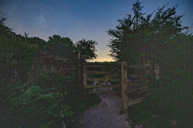
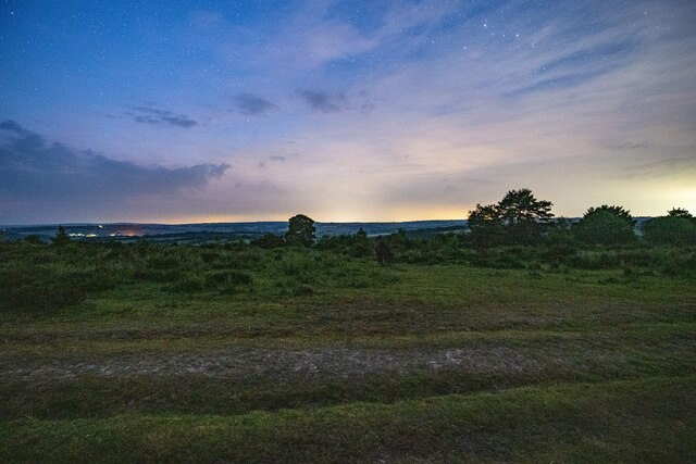
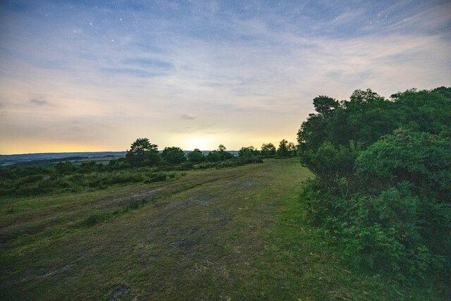
Long Close Plantation is a sprawling woodland located in Somerset, England. Stretching over a vast area, this plantation is a haven for nature enthusiasts and provides a valuable habitat for a diverse range of flora and fauna. The woodland is characterized by its dense canopy of mature trees, including oak, beech, and birch, which provide a rich and varied landscape.
The plantation is known for its tranquil and serene atmosphere, making it a popular destination for outdoor activities such as walking, hiking, and birdwatching. The well-maintained footpaths and trails allow visitors to explore the woodland at their own pace and immerse themselves in the natural beauty of the surroundings.
Long Close Plantation is home to a wide array of wildlife, with an abundance of bird species including woodpeckers, owls, and various songbirds. Deer can also be spotted roaming freely in certain areas of the woodland, adding to the sense of wilderness and natural beauty.
In addition to its recreational value, the plantation also serves as an important ecological site. The diverse range of trees and vegetation provides a habitat for numerous insects, small mammals, and fungi. Moreover, the woodland acts as a carbon sink, absorbing carbon dioxide from the atmosphere and helping to mitigate the effects of climate change.
Overall, Long Close Plantation is a cherished natural resource in Somerset, offering a peaceful retreat for nature lovers and playing a vital role in preserving the local ecosystem.
If you have any feedback on the listing, please let us know in the comments section below.
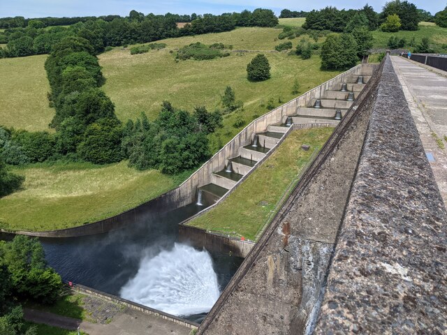
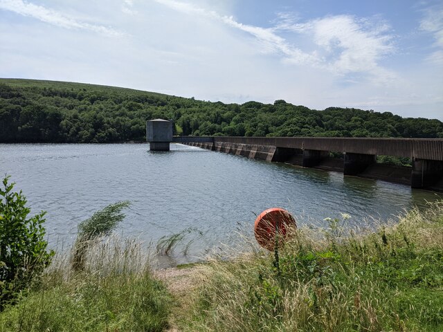
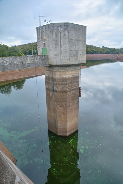
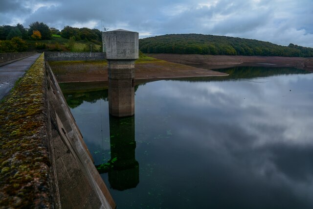
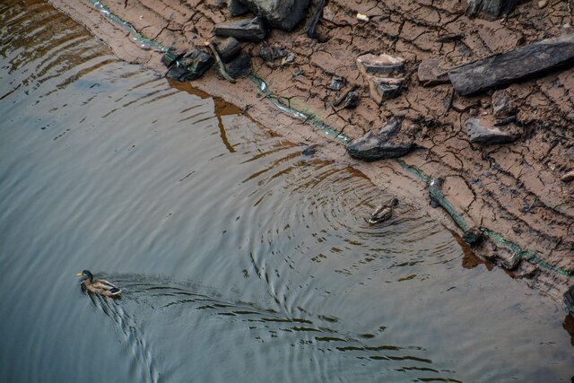
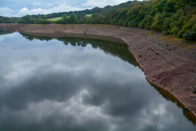
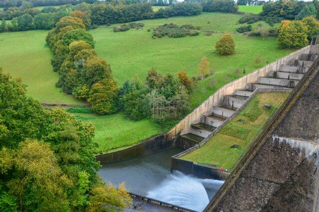
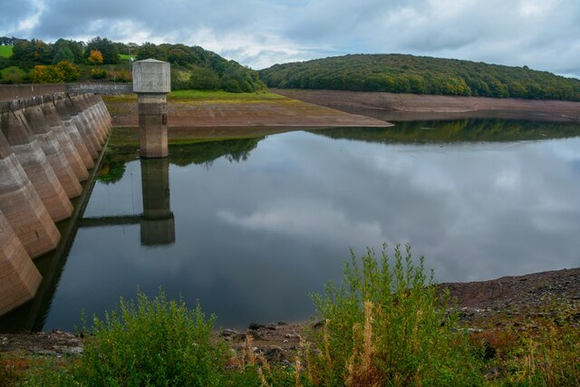
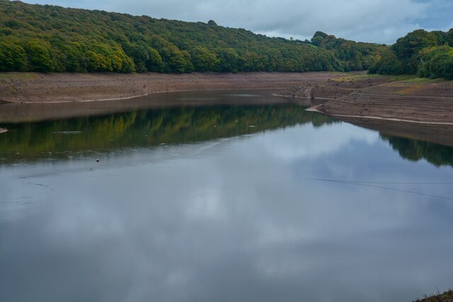
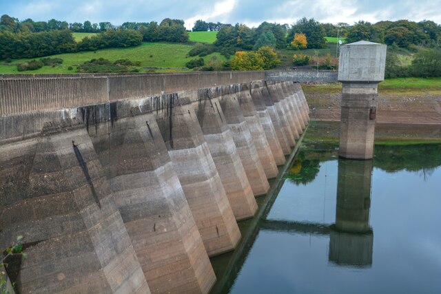
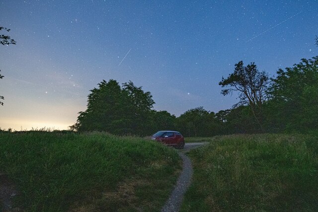
Long Close Plantation Images
Images are sourced within 2km of 51.037711/-3.4770191 or Grid Reference SS9627. Thanks to Geograph Open Source API. All images are credited.


Long Close Plantation is located at Grid Ref: SS9627 (Lat: 51.037711, Lng: -3.4770191)
Administrative County: Somerset
District: Somerset West and Taunton
Police Authority: Avon and Somerset
What 3 Words
///label.umbrellas.sapping. Near Dulverton, Somerset
Nearby Locations
Related Wikis

Haddon Hill
Haddon Hill is a prominent east–west aligned ridge in west Somerset, England, close to Hartford within the civil parish of Brompton Regis. It lies on the...

Skilgate
Skilgate is a village and civil parish 5 miles (8 km) east of Dulverton and 8 miles (13 km) west of Wiveliscombe in the Somerset West and Taunton district...

Bury Bridge
Bury Bridge at Bury in the parish of Brompton Regis within the English county of Somerset is a medieval packhorse bridge. It has been scheduled as an ancient...
Church of St John, Skilgate
The Anglican Church of St John in Skilgate, Somerset, England was built in the 14th century. It is a Grade II* listed building. == History == The church...
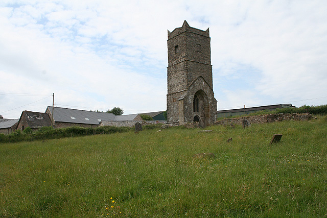
Old Church of St James, Upton
The Old St James's Church is a former church in the village of Upton, Somerset, England, of which only the tower remains, overlooking Wimbleball Lake....

Bury Castle, Brompton Regis
Bury Castle near Brompton Regis in the English county of Somerset was an Iron Age univallate hillfort which was reused with the creation of a motte after...

St George's Church, Morebath
St George's Church, Morebath is a Grade II* listed parish church in the Church of England Diocese of Exeter in Morebath, Devon. It is part of the Hukeley...

Morebath
Morebath is an upland village in the county of Devon, England. It is mostly given over to sheep-farming, and situated on the southern edge of Exmoor. An...
Nearby Amenities
Located within 500m of 51.037711,-3.4770191Have you been to Long Close Plantation?
Leave your review of Long Close Plantation below (or comments, questions and feedback).