Harwood Moss

Wood, Forest in Roxburghshire

Scotland

Harwood Moss

Lurgies Burn from the air The burn runs between Pike Fell on the left and Templehall Hill on the right.
Lurgies Burn from the air Credit: Thomas Nugent

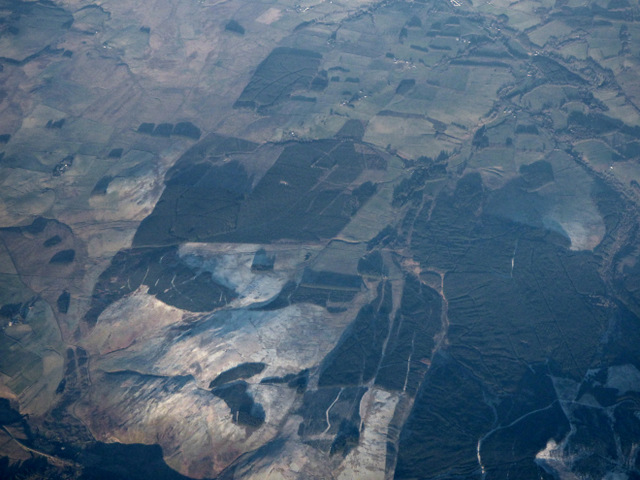
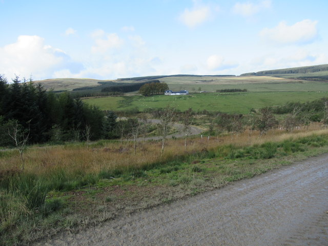
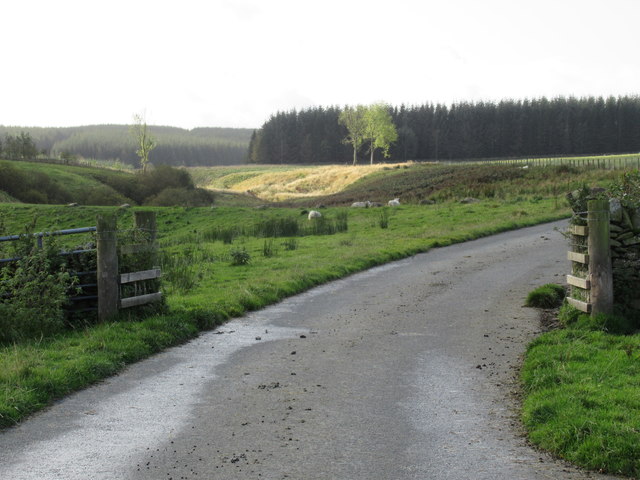
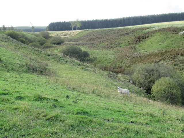
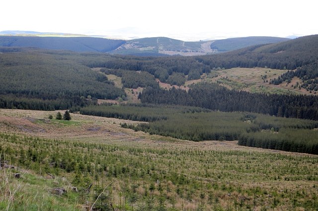
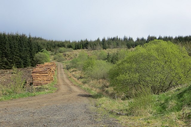
Harwood Moss is a wood or forest located in Roxburghshire, a historic county in the Scottish Borders region of Scotland. It covers a vast expanse of land, stretching across an area of approximately [insert size] hectares.

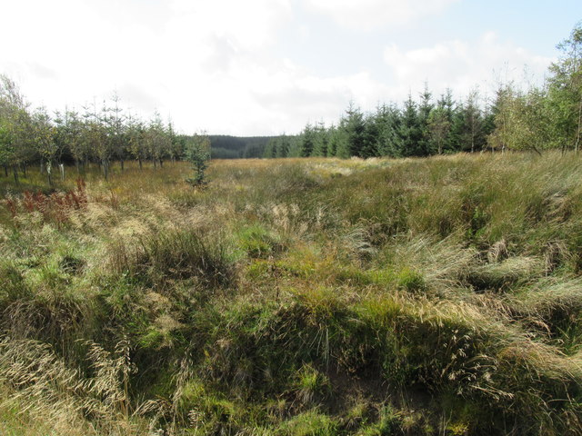
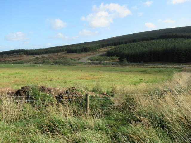
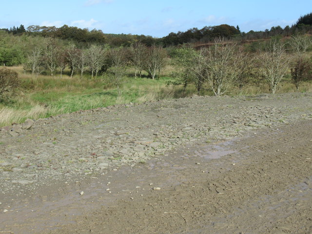
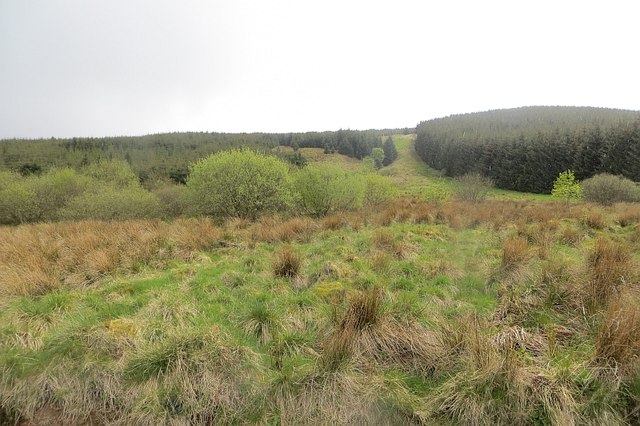
This woodland is characterized by its diverse range of tree species, including oak, birch, ash, and pine. The rich variety of flora found within Harwood Moss creates a vibrant and colorful environment, especially during the spring and summer months when wildflowers such as bluebells and primroses bloom.

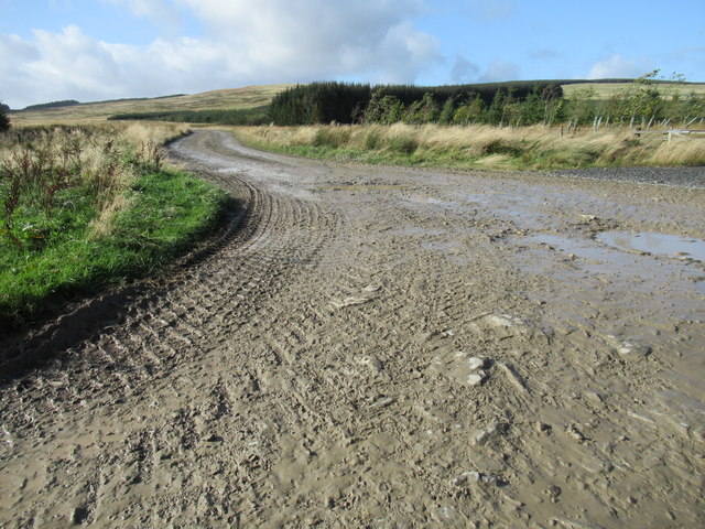
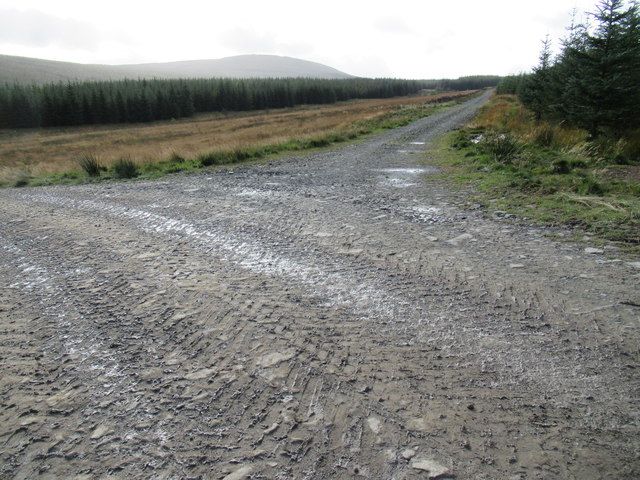
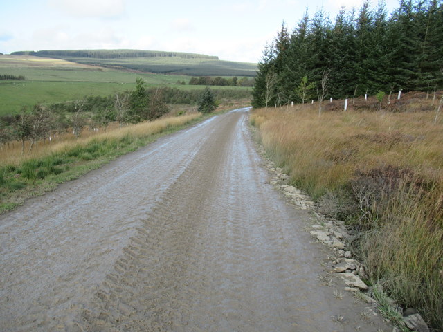
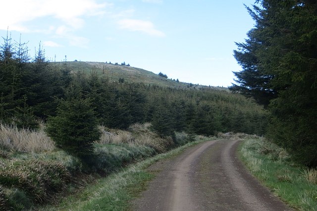
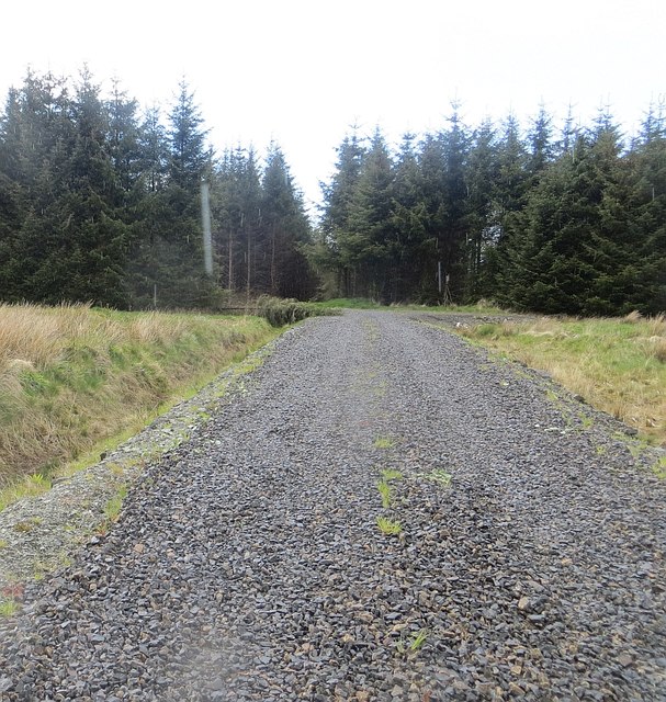
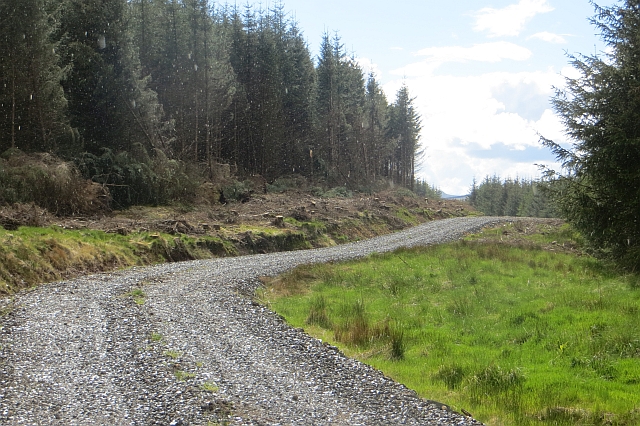
The forest is intersected by several walking trails and paths, allowing visitors to explore the natural beauty of the area. These trails offer opportunities for hiking, birdwatching, and wildlife spotting, as Harwood Moss is home to a variety of fauna. Red squirrels, deer, and various species of birds, including owls and woodpeckers, can often be seen in the woodland.

The mossy ground and fallen leaves provide a soft and cushioned floor, which adds to the tranquil and peaceful atmosphere of Harwood Moss. This makes it an ideal location for nature enthusiasts, photographers, and those seeking a peaceful retreat from the hustle and bustle of daily life.

Overall, Harwood Moss is a picturesque wood or forest in Roxburghshire, Scotland, offering visitors a chance to immerse themselves in the beauty of nature and discover the unique flora and fauna that call this woodland home.

If you have any feedback on the listing, please let us know in the comments section below.

Harwood Moss Images

Images are sourced within 2km of 55.339277/-2.708749 or Grid Reference NT5505. Thanks to Geograph Open Source API. All images are credited.

Lurgies Burn from the air The burn runs between Pike Fell on the left and Templehall Hill on the right.
Lurgies Burn from the air
The burn runs between Pike Fell on the left and Templehall Hill on the right.
Lurgiescleuch near Hobkirk I hurried on - unsure of which lurgie it was but taking no chances!
Lurgiescleuch near Hobkirk
I hurried on - unsure of which lurgie it was but taking no chances!
Lurgiescleuch road crossing Pines Burn by causeway Beautifully surfaced road all the way to this remote dwelling.
Lurgiescleuch road crossing Pines Burn by causeway
Beautifully surfaced road all the way to this remote dwelling.
Course of Pines Burn in the Scottish Borders
Bend in new track at Lurgiescleuch near Hobkirk
Break in forestry near Lurgiescleuch
New track near Lurgiescleuch by Hobkirk in the Scottish Borders
New track crossing Lurgies Burn by causeway
In the course of Lurgies Burn above Harwood in the Scottish Borders
New track south side of Lurgies Burn near Hobkirk
Pike Fell Through gate near old cabin. Next gate midway. Found gates at SE end of top field.  Five HuMP on a sunny Sunday in August.
Name: Pike Fell
Hill number: 5126
Height: 400m / 1312ft
Area: 28B: The River Tweed to the English Border
Class: Hu
Grid ref: NT 53490 06361
Summit feature: trig point
Drop: 125m
Col: 275m  NT542047
Pike Fell
Through gate near old cabin. Next gate midway. Found gates at SE end of top field. Five HuMP on a sunny Sunday in August. Name: Pike Fell Hill number: 5126 Height: 400m / 1312ft Area: 28B: The River Tweed to the English Border Class: Hu Grid ref: NT 53490 06361 Summit feature: trig point Drop: 125m Col: 275m NT542047
Border Counties Rally in progress on forest track near Wyndburgh Hill
Wyndburgh Hill Young Sitka beside the road with self seeded trees taking over the summit clearing.
Wyndburgh Hill
Young Sitka beside the road with self seeded trees taking over the summit clearing.
Hawklawtongues Remains of a farm amongst another generation of Sitka spruce.
Hawklawtongues
Remains of a farm amongst another generation of Sitka spruce.
New road, Wauchope Forest A recently constructed logging road.  The picture is cropped to get rid of a big rain spot.
New road, Wauchope Forest
A recently constructed logging road. The picture is cropped to get rid of a big rain spot.
Cooper's Cleuch Some of Wauchope Forest has been left to grow wild.
Cooper's Cleuch
Some of Wauchope Forest has been left to grow wild.
New road, Wauchope Forest This recently built logging road follows a former ride (grass strip, right).
New road, Wauchope Forest
This recently built logging road follows a former ride (grass strip, right).
Logging road, Wauchope Forest Log piles beside the long road running from the north, and oldest planted part of the forest, to Riccarton Junction.
Logging road, Wauchope Forest
Log piles beside the long road running from the north, and oldest planted part of the forest, to Riccarton Junction.
Show me another place!

Harwood Moss is located at Grid Ref: NT5505 (Lat: 55.339277, Lng: -2.708749)

Unitary Authority: The Scottish Borders

Police Authority: The Lothians and Scottish Borders

What 3 Words

///mime.list.bookings. Near Hawick, Scottish Borders

Related Wikis

Shankend railway station

Shankend railway station served the hamlet of Shankend, Scottish Borders, Scotland from 1862 to 1969 on the Border Union Railway. == History == The station...

Shankend

Shankend Manor was a sixteenth-century mansion located some six miles (ten kilometres) south of Hawick, close to Whitrope Siding in Scotland. It was constructed...

Wauchope Forest

Wauchope Forest is a forest on the Rule Water, in the Scottish Borders area of Scotland, south of Hawick, and including the A6088, the A68 and the B6357...

Wauchope, Scottish Borders

Wauchope is a hamlet in the Scottish Borders council area of Scotland, near Southdean. Wauchope House was demolished in 1932. == See also == Wauchope Forest...

Related Videos

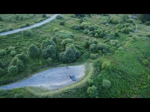
Lower Cheviot - a great, free authorised motorhome overnight stopover

Another video from our motorhome adventures, tips, and advice. Traveling in a Pilote P650C. We show you an aerial view of ...

Shankend Farm

Shankend Farm Viaduct Waverley Disused Railway.

Have you been to Harwood Moss?

Leave your review of Harwood Moss below (or comments, questions and feedback).