Fowlishill Wood
Wood, Forest in Aberdeenshire
Scotland
Fowlishill Wood
Fowlishill Wood is a picturesque woodland located in Aberdeenshire, Scotland. Covering an area of approximately 50 hectares, it is situated near the village of Fettercairn. The wood is renowned for its breathtaking natural beauty, making it a popular destination for nature lovers, hikers, and photographers.
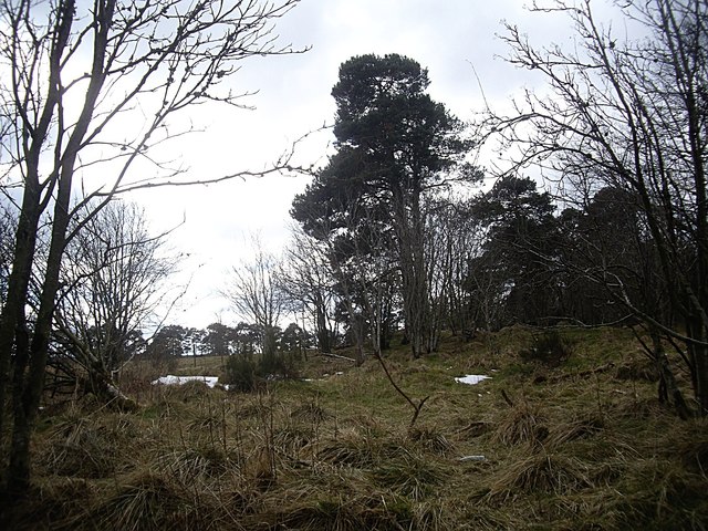
The wood is predominantly composed of native broadleaf trees, including oak, beech, and birch, which create a rich and diverse habitat for numerous wildlife species. The dense canopy formed by these trees provides a cool and shaded environment, perfect for a leisurely stroll on a sunny day. The forest floor is adorned with a variety of wildflowers, adding vibrant colors to the surroundings.
Fowlishill Wood is intersected by a network of well-maintained trails, offering visitors the opportunity to explore its enchanting charm. The paths wind through the forest, revealing hidden clearings, babbling brooks, and stunning viewpoints. These trails are suitable for all levels of fitness and are often used by both locals and tourists for recreational purposes.
The wood is also home to a diverse range of wildlife. Birdwatchers will be delighted to spot species such as woodpeckers, owls, and various songbirds. Red squirrels can be seen darting through the trees, while deer can occasionally be spotted grazing in the more secluded areas.
Fowlishill Wood is a true gem in Aberdeenshire, offering visitors a peaceful and serene escape into nature. Its picturesque landscapes, diverse flora and fauna, and well-maintained trails make it an ideal destination for those seeking a tranquil outdoor experience.
If you have any feedback on the listing, please let us know in the comments section below.
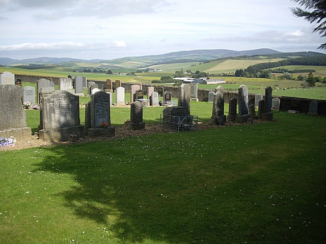
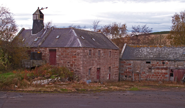
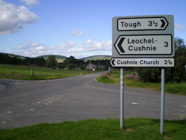
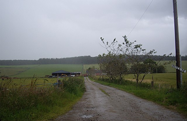
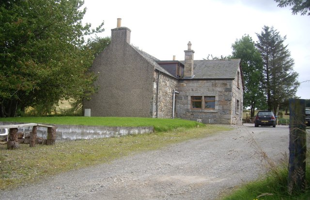
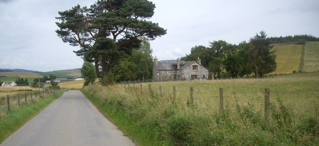
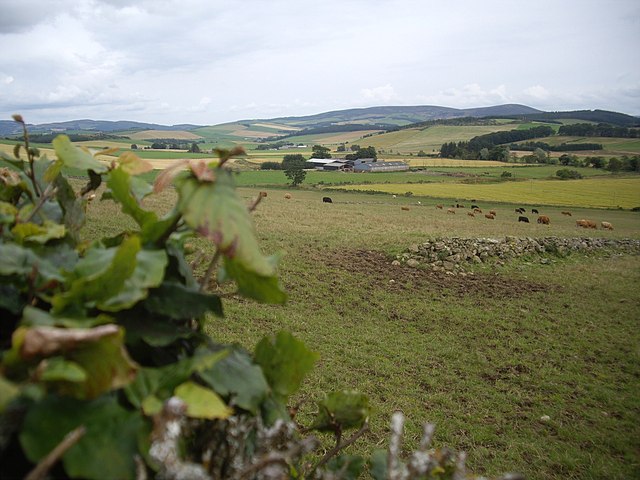
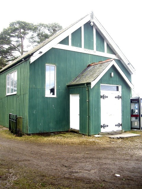
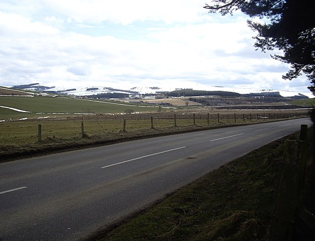
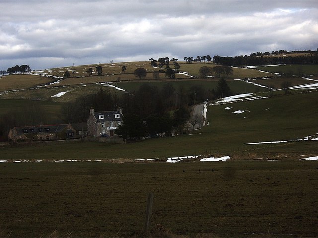
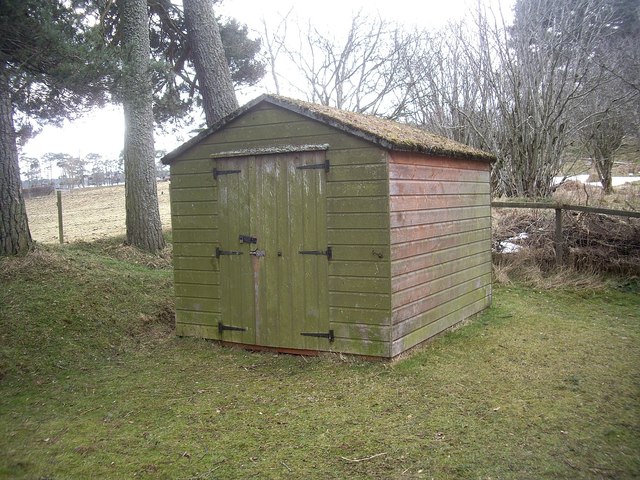
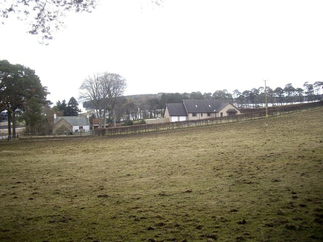
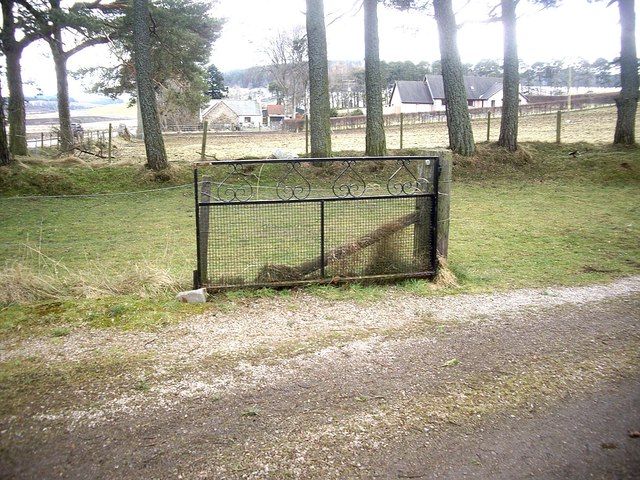
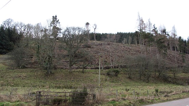
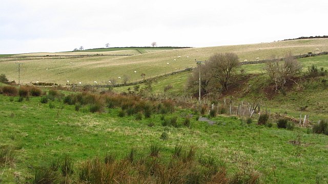
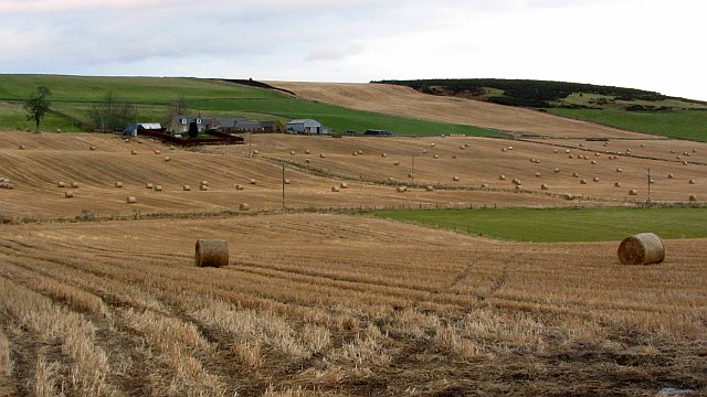
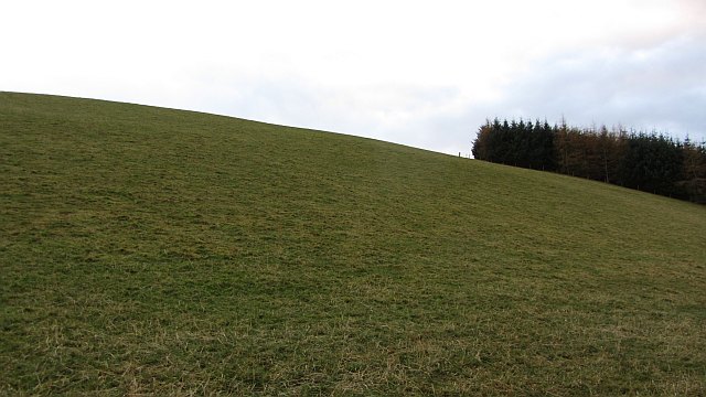
Fowlishill Wood Images
Images are sourced within 2km of 57.193668/-2.7434173 or Grid Reference NJ5511. Thanks to Geograph Open Source API. All images are credited.
Fowlishill Wood is located at Grid Ref: NJ5511 (Lat: 57.193668, Lng: -2.7434173)
Unitary Authority: Aberdeenshire
Police Authority: North East
What 3 Words
///financial.wishes.bystander. Near Alford, Aberdeenshire
Nearby Locations
Related Wikis
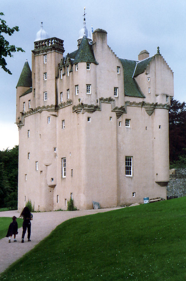
Craigievar Castle
Craigievar Castle is a pinkish harled castle or fortified country house 6 miles (9.7 km) south of Alford, Aberdeenshire, Scotland. It was the seat of Clan...

Cushnie Castle
Cushnie Castle was a 16th-century tower house, about 6 miles (9.7 km) south west of Alford, Aberdeenshire, Scotland, near Cushnie Burn, in the Glen of...

Asloun Castle
Asloun Castle is a castle, formerly Z-plan, dating from the 16th century, 2 miles (3.2 km) south-west of Alford, in Aberdeenshire, Scotland, of which only...

Marr
Marr (Scottish Gaelic: Màrr) is one of six committee areas in Aberdeenshire, Scotland. It has a population of 34,038 (2001 Census). Someone from Marr...
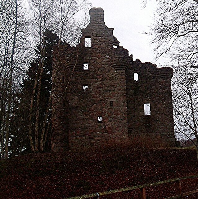
Corse Castle
Corse Castle near Lumphanan in Aberdeenshire, now ruined, was a fortress and centre of a landed estate in the north-east of Scotland. The present castle...

Bridge of Alford
Bridge of Alford is a village in Aberdeenshire, Scotland.Bridge of Alford is situated near Alford beside the bridge over the River Don. It is on the road...
Alford, Aberdeenshire
Alford (pronounced Scots: Aaford or Awfort, Scottish Gaelic: Athfort) is a large village in Aberdeenshire, north-east Scotland, lying just south of...

Alford Academy
Alford Academy is a secondary school in Alford, Aberdeenshire, Scotland. It is a School of Growth Mindsets.Alford Academy is a local authority secondary...
Nearby Amenities
Located within 500m of 57.193668,-2.7434173Have you been to Fowlishill Wood?
Leave your review of Fowlishill Wood below (or comments, questions and feedback).