Muir Plantation
Wood, Forest in Angus
Scotland
Muir Plantation
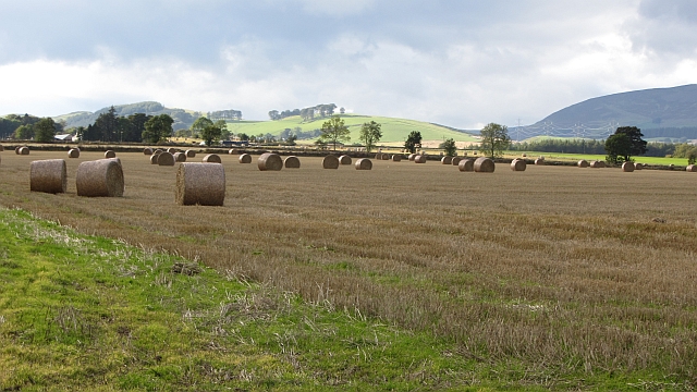
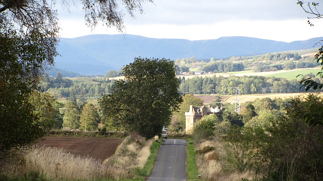
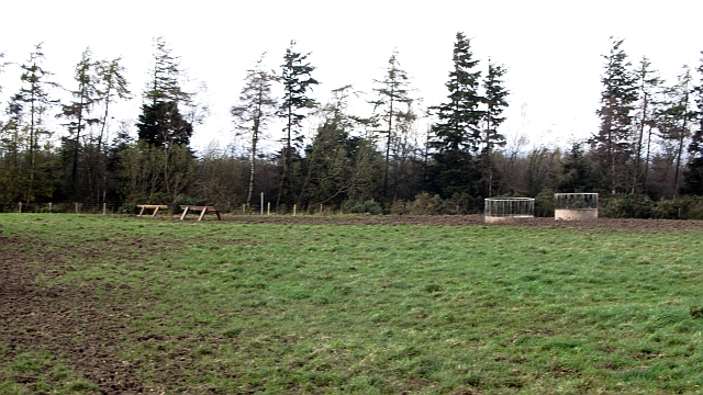
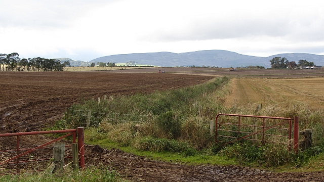
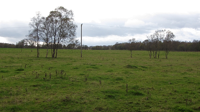
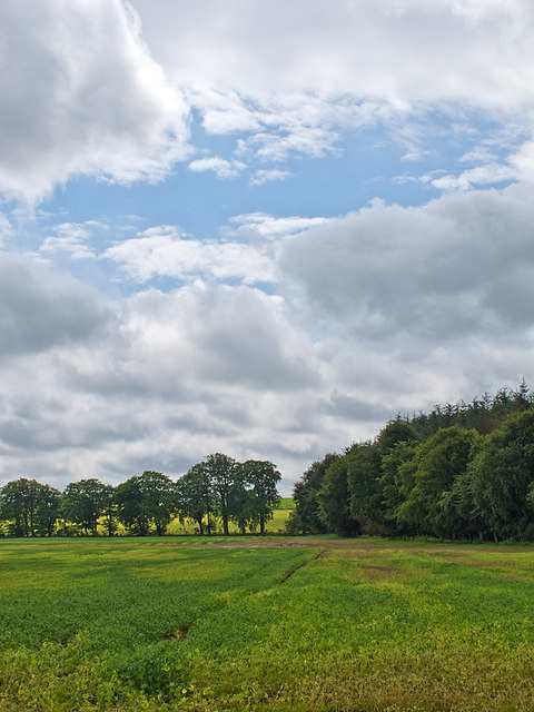
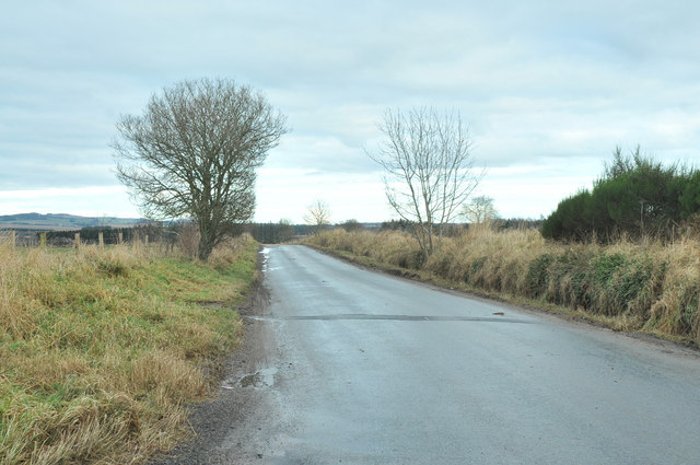
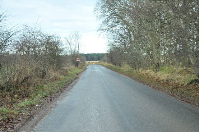
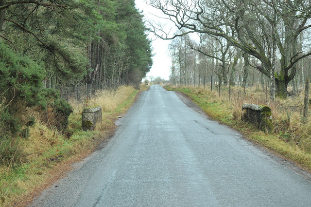
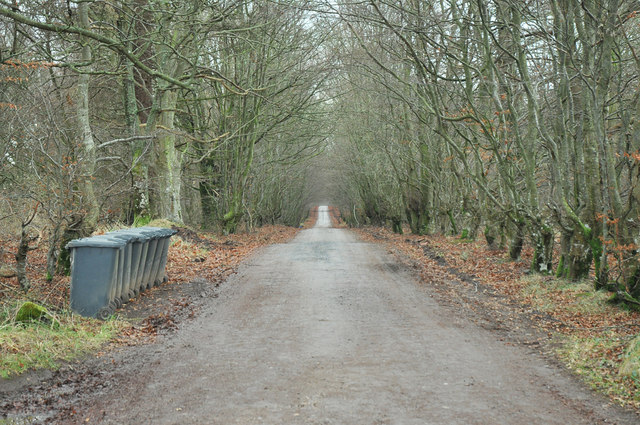
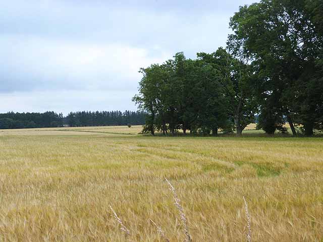
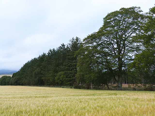
Muir Plantation, located in Angus, Scotland, is a serene and picturesque woodland area known for its rich forestry and diverse range of plant species. Spanning over several acres, the plantation offers a tranquil escape for nature enthusiasts and visitors seeking solace amidst the beauty of nature.
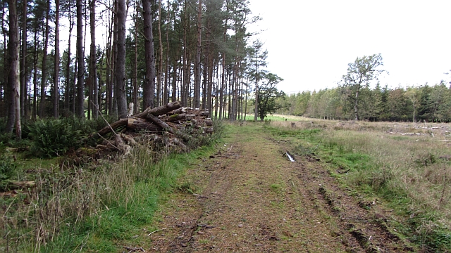
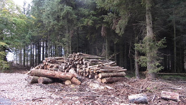
The woodland at Muir Plantation is primarily composed of a mixture of deciduous and coniferous trees, creating a harmonious blend of colors throughout the seasons. Towering oak, birch, and beech trees provide ample shade during the summer months, while spruce, pine, and fir trees dominate the evergreen landscape during winter.
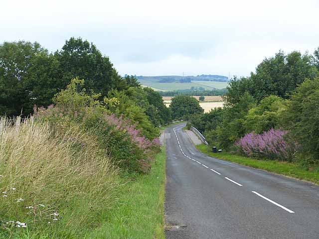
The plantation boasts well-maintained walking trails, allowing visitors to explore the area at their own pace. These paths wind through the enchanting woodland, offering glimpses of vibrant wildflowers, moss-covered rocks, and bubbling streams along the way. The plantation's management ensures that the trails are accessible to all, making it an ideal destination for families and individuals of all ages.
Muir Plantation also serves as a haven for various wildlife species. Birdwatchers can spot a myriad of feathered creatures, including woodpeckers, owls, and migratory birds. Squirrels, foxes, and deer can often be seen darting through the underbrush, adding to the plantation's charm and natural allure.
For those interested in conservation and sustainability, Muir Plantation also offers educational programs and workshops on responsible forest management and the importance of preserving natural habitats. These initiatives aim to raise awareness about the value of woodlands and the role they play in maintaining ecological balance.
Overall, Muir Plantation in Angus is a captivating natural haven that offers a tranquil escape into the splendor of Scotland's woodlands.
If you have any feedback on the listing, please let us know in the comments section below.
Muir Plantation Images
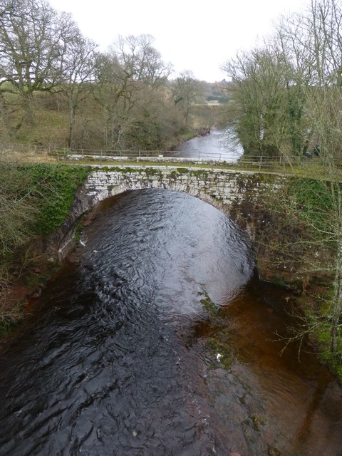
Images are sourced within 2km of 56.698205/-2.9340502 or Grid Reference NO4256. Thanks to Geograph Open Source API. All images are credited.

Muir Plantation is located at Grid Ref: NO4256 (Lat: 56.698205, Lng: -2.9340502)
Unitary Authority: Angus
Police Authority: Tayside
What 3 Words
///jelly.duplicate.thumps. Near Kirriemuir, Angus
Nearby Locations
Related Wikis

Inverquharity
Inverquharity is a Roman fortlet in Scotland, close to the Highland Line about 5 miles (8 km) north of Kirriemuir, Angus. Although very little archaeological...

Inverquharity Castle
Inverquharity Castle is a 15th-century tower house in Angus, Scotland. It lies around 4.5 kilometres (2.8 mi) north-east of Kirriemuir near the River South...

Memus
Memus is a small village in Angus, Scotland, north of Kirriemuir. It is home to the Drovers Pub. A story is told of a kelpie at Shielhill Bridge, leaving...

Battledykes
Battledykes is a Roman camp slightly to the north of Forfar, Scotland. According to Hector Boece, Pictish chiefs met at a castle by Forfar Loch to plan...
Have you been to Muir Plantation?
Leave your review of Muir Plantation below (or comments, questions and feedback).