Midtown Wood

Wood, Forest in Angus

Scotland

Midtown Wood

Tree covered hillock Looking west from the Glenogil road to a hillock covered in woodland near the Den of Ogil.
Tree covered hillock Credit: Scott Cormie

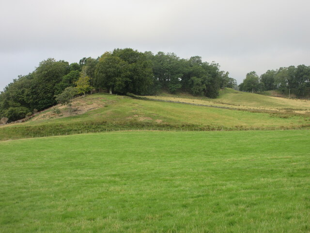
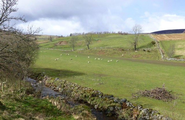
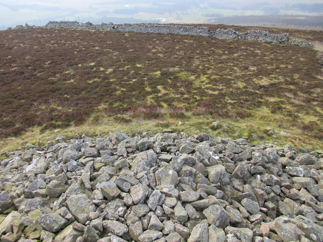
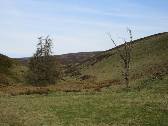
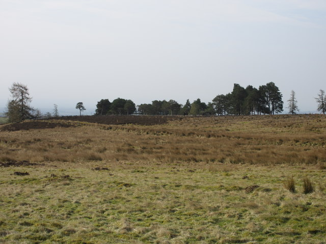
Midtown Wood, Angus, also known as Midtown Forest, is a picturesque woodland located in the county of Angus, Scotland. Spanning approximately 200 acres, this enchanting forest is renowned for its natural beauty and diverse ecosystem.

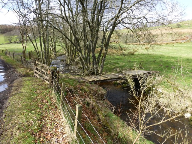
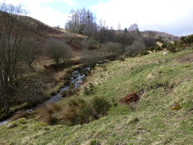
Midtown Wood is primarily composed of native Scottish tree species, including oak, birch, and pine, creating a dense and vibrant canopy. The forest floor is adorned with a rich carpet of moss, ferns, and wildflowers, further enhancing its ethereal charm.

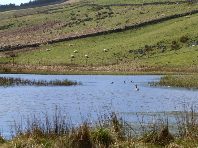
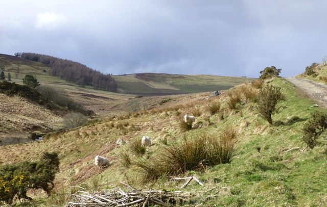
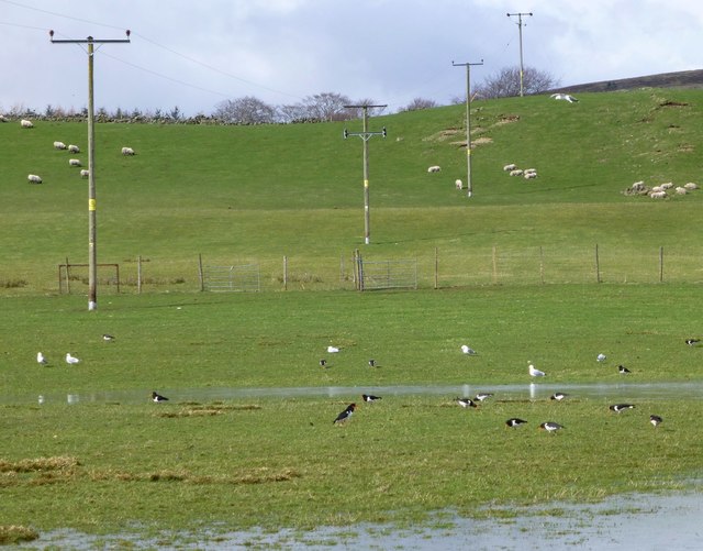
The woodland is home to a wide variety of wildlife, including numerous bird species such as buzzards, woodpeckers, and owls. Additionally, mammals like red squirrels, foxes, and roe deer can frequently be spotted within the forest's boundaries.

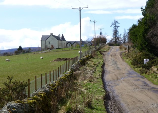
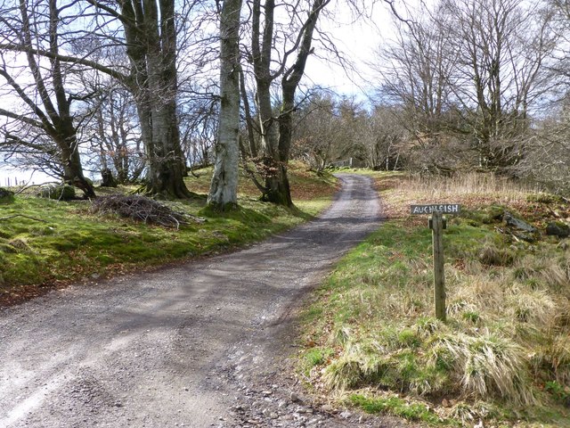
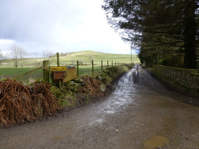
The wood is crisscrossed by a network of well-maintained trails, allowing visitors to explore its beauty at their own pace. These paths offer stunning views of the surrounding countryside, making it a popular destination for nature enthusiasts, hikers, and photographers.

Midtown Wood also plays an essential role in conservation efforts, as it is a designated Site of Special Scientific Interest (SSSI). This recognition ensures the protection of its unique flora and fauna, preserving its ecological significance for future generations.

Overall, Midtown Wood, Angus, is a captivating and biodiverse forest, offering visitors an opportunity to immerse themselves in the tranquility of nature and witness the wonders of Scotland's woodlands.

If you have any feedback on the listing, please let us know in the comments section below.
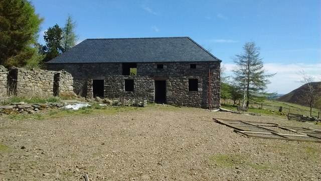
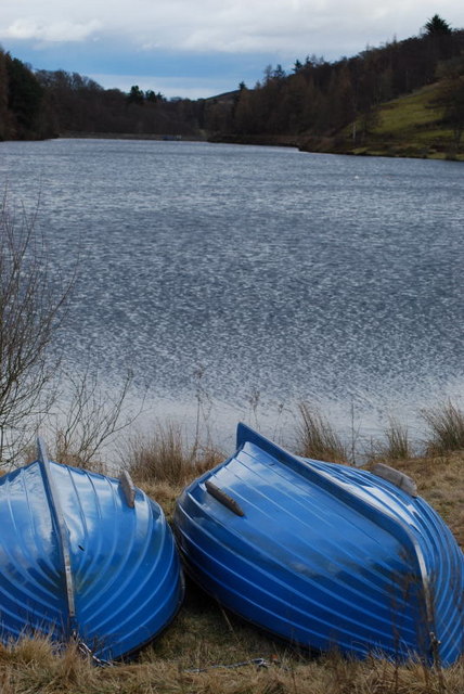
Midtown Wood Images

Images are sourced within 2km of 56.747522/-2.9348488 or Grid Reference NO4262. Thanks to Geograph Open Source API. All images are credited.

Tree covered hillock Looking west from the Glenogil road to a hillock covered in woodland near the Den of Ogil.
Tree covered hillock
Looking west from the Glenogil road to a hillock covered in woodland near the Den of Ogil.
Knochill Up the rough lane from Dykend.
Knochill
Up the rough lane from Dykend.
Track to Auchleish In the valley of the White Burn.
Track to Auchleish
In the valley of the White Burn.
Rickety bridge over the White Burn Tractors use the ford just upstream!
Rickety bridge over the White Burn
Tractors use the ford just upstream!
Ducks and geese on the pond And sheep in the meadow.
Rustic life below Horniehaugh.
Ducks and geese on the pond
And sheep in the meadow. Rustic life below Horniehaugh.
White Burn North of Horniehaugh.
White Burn
North of Horniehaugh.
Track to Anniegathel Up the valley of the White Burn.
Benscravie on the left.
Track to Anniegathel
Up the valley of the White Burn. Benscravie on the left.
Gulls, oyster-catchers and sheep in soggy pasture With electricity poles for good measure.
Gulls, oyster-catchers and sheep in soggy pasture
With electricity poles for good measure.
White Burn With sheep in pasture.
Above Boghaugh.
White Burn
With sheep in pasture. Above Boghaugh.
Muddy track To Cowhillock.
Muddy track
To Cowhillock.
Heading to St.Arnold's Seat The track from Naked Tam heading for the cairn on St.Arnold's Seat.
Heading to St.Arnold's Seat
The track from Naked Tam heading for the cairn on St.Arnold's Seat.
The big cairn, St. Arnold's Seat The massive twenty foot cairn on St. Arnold's Seat, viewed from the south.
The big cairn, St. Arnold's Seat
The massive twenty foot cairn on St. Arnold's Seat, viewed from the south.
Top of the cairn, St. Arnold's Seat The view down from the top of the cairn, looking towards the ruined dyke that probably helped build the cairn.
Top of the cairn, St. Arnold's Seat
The view down from the top of the cairn, looking towards the ruined dyke that probably helped build the cairn.
Living pine and dead pine View from the track to Baikies, looking up the burn that runs down from St. Arnold's Seat.
Living pine and dead pine
View from the track to Baikies, looking up the burn that runs down from St. Arnold's Seat.
Pine wood Scots pines seen from the track to Baikies.
Pine wood
Scots pines seen from the track to Baikies.
Baikies, Glen Quiech Mill now re-roofed. Impressive.
Baikies, Glen Quiech
Mill now re-roofed. Impressive.
Mill at Baikies Re-roofed mill from west.
Mill at Baikies
Re-roofed mill from west.
Anglers' Boats The Den of Ogil is a small but pretty reservoir which is popular with local anglers.  Spring flowers are in abundance round its south shore.
Anglers' Boats
The Den of Ogil is a small but pretty reservoir which is popular with local anglers. Spring flowers are in abundance round its south shore.
Show me another place!

Midtown Wood is located at Grid Ref: NO4262 (Lat: 56.747522, Lng: -2.9348488)

Unitary Authority: Angus

Police Authority: Tayside

What 3 Words

///fortified.static.harmonica. Near Kirriemuir, Angus

Nearby Locations

Midtown Wood

Related Wikis

Memus

Memus is a small village in Angus, Scotland, north of Kirriemuir. It is home to the Drovers Pub. A story is told of a kelpie at Shielhill Bridge, leaving...

Auchnacree

Auchnacree is an estate in Angus, Scotland, five miles north of Forfar.In 1921 the estate overseer, Mr Frank Rae, discovered what is now called the Auchnacree...

Cortachy Castle

Cortachy Castle is a castellated mansion House at Cortachy, Angus, Scotland, some four miles north of Kirriemuir. The present building dates from the 15th...

Cortachy

Cortachy is a village in Angus, Scotland. It lies in at the mouth of Glen Clova, on the River South Esk, four miles north of Kirriemuir. Nearby lies Cortachy...

Noranside

Noranside is a hamlet in Angus, Scotland, located at 56° 44' 0" North, 2° 52' 0" West,. The prison HMP Noranside was operated there from 1966 to 2011....

Inverquharity

Inverquharity is a Roman fortlet in Scotland, close to the Highland Line about 5 miles (8 km) north of Kirriemuir, Angus. Although very little archaeological...

Inverquharity Castle

Inverquharity Castle is a 15th-century tower house in Angus, Scotland. It lies around 4.5 kilometres (2.8 mi) north-east of Kirriemuir near the River South...

Mile Hill, Dykehead

There is another Mile Hill nearby which is a MarilynMile Hill is located in Angus, Scotland, 1000 metres west of Dykehead. It is a circular hill rising...

Nearby Amenities

Located within 500m of 56.747522,-2.9348488
Drumnichie
Alt Name: Drumnechie
Place: isolated_dwelling
Lat/Long: 56.7462966/-2.9310498
Power: pole
Lat/Long: 56.7447144/-2.9412433
Power: pole
Lat/Long: 56.7446647/-2.9404645
Power: pole
Lat/Long: 56.7445882/-2.9393251
Power: pole
Lat/Long: 56.7445094/-2.9381524
Power: pole
Lat/Long: 56.7444366/-2.9370108
Power: pole
Lat/Long: 56.744325/-2.9355284
Power: pole
Lat/Long: 56.7446598/-2.934796
Power: pole
Lat/Long: 56.7450359/-2.9339774
Power: pole
Lat/Long: 56.7454242/-2.9331566
Power: pole
Lat/Long: 56.745793/-2.9323645
Power: pole
Lat/Long: 56.7460672/-2.9317715
The data included in this document is from www.openstreetmap.org. The data is made available under ODbL.

Have you been to Midtown Wood?

Leave your review of Midtown Wood below (or comments, questions and feedback).