Walls Plantation
Wood, Forest in Dumfriesshire
Scotland
Walls Plantation
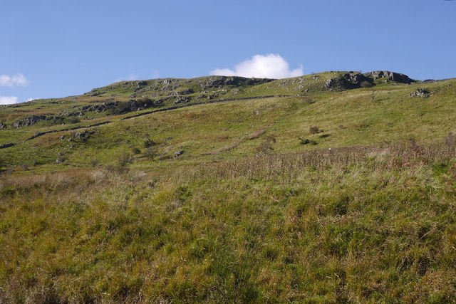
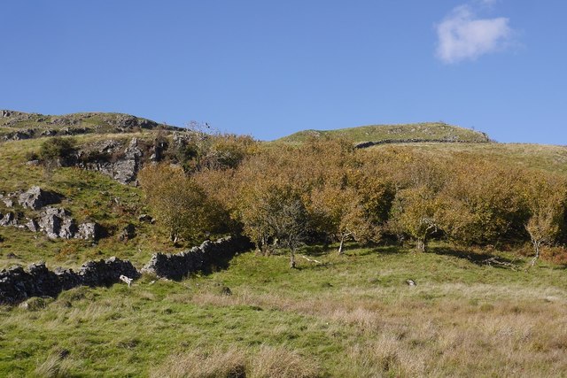
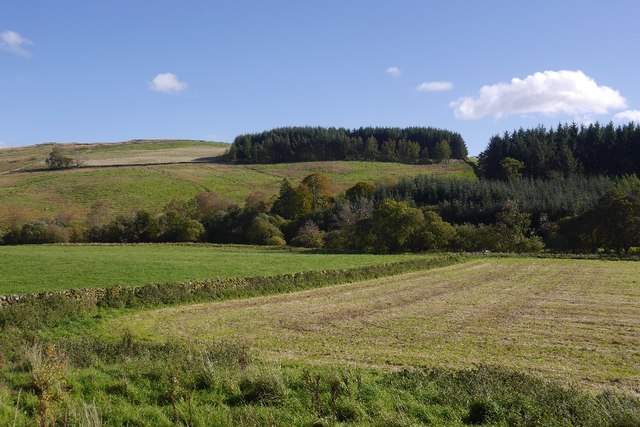
Walls Plantation is a picturesque woodland located in Dumfriesshire, Scotland. Spread across an area of approximately 500 acres, this enchanting forest is known for its stunning natural beauty and rich biodiversity.
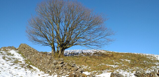
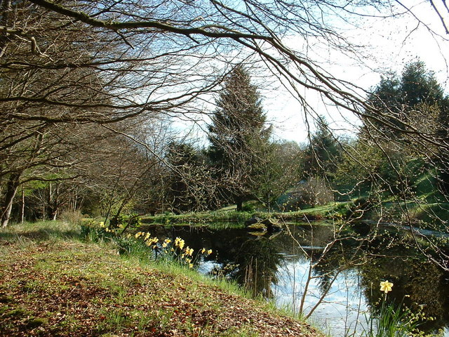
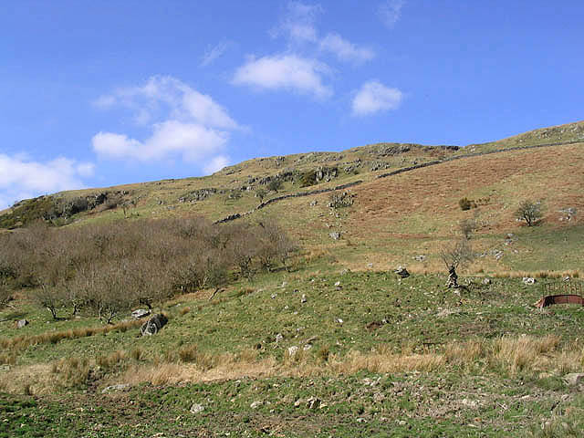
The plantation primarily consists of a mix of deciduous and coniferous trees, including oak, beech, pine, and spruce. These diverse tree species provide a habitat for a wide range of wildlife, making it a haven for nature enthusiasts and bird watchers. Visitors to Walls Plantation can spot various bird species such as woodpeckers, owls, and different types of songbirds.
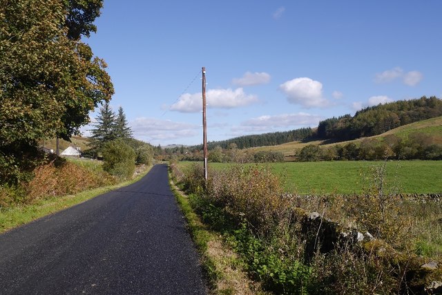
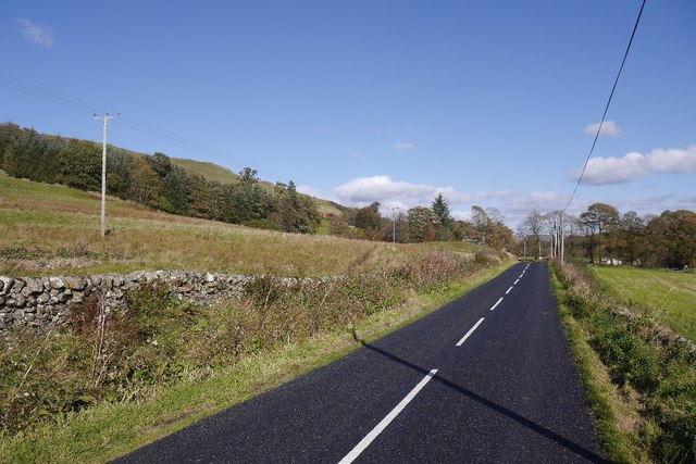
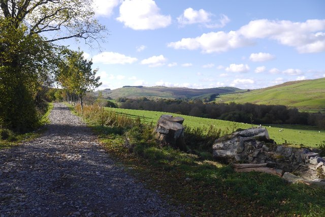
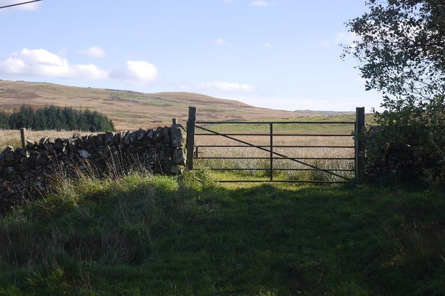
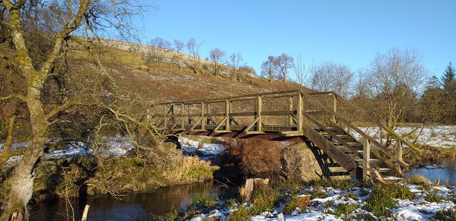
The forest is crisscrossed with well-maintained trails that offer visitors an opportunity to explore its breathtaking scenery. These paths are ideal for hiking and walking, providing a serene and peaceful environment away from the hustle and bustle of city life.
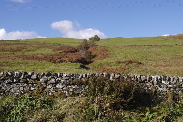
Walls Plantation also holds historical significance, as it was once part of a larger estate dating back to the 18th century. The remnants of old stone walls and ruins add a touch of mystery and charm to the woodland, further enhancing its appeal.
The plantation is open to the public year-round, and there are designated picnic areas and viewpoints where visitors can relax and enjoy the tranquil surroundings. Whether it's a leisurely stroll through the woods, birdwatching, or simply immersing oneself in nature, Walls Plantation offers a delightful experience for all who visit.
If you have any feedback on the listing, please let us know in the comments section below.
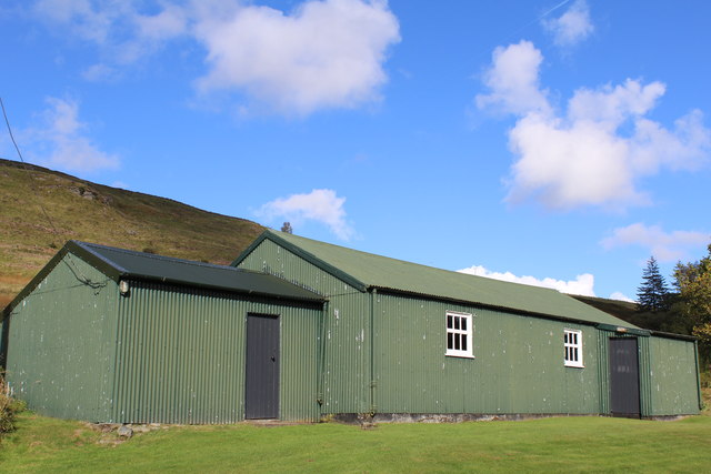
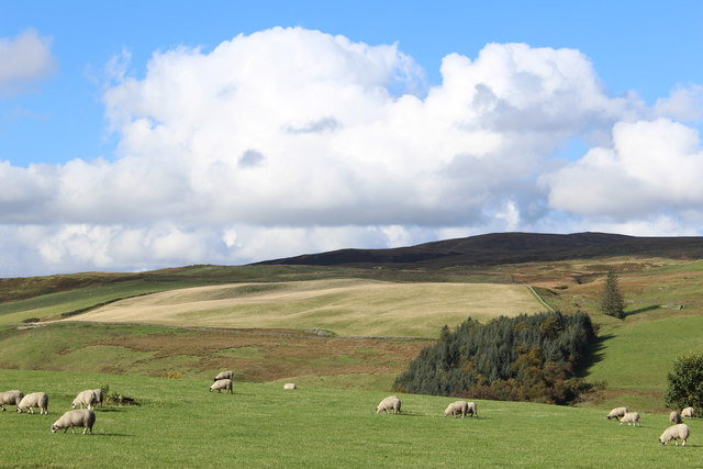
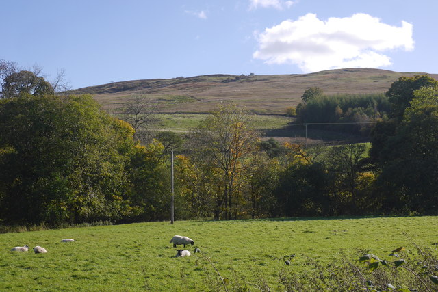
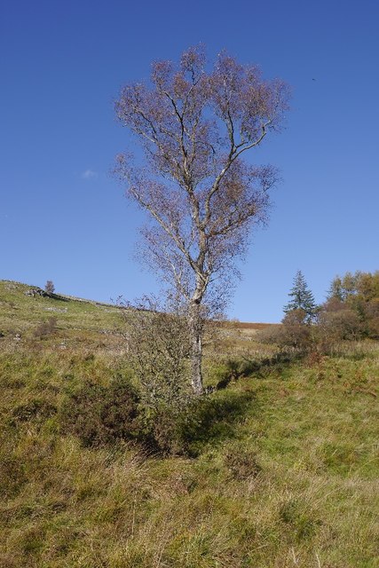
Walls Plantation Images
Images are sourced within 2km of 55.163502/-3.9390086 or Grid Reference NX7687. Thanks to Geograph Open Source API. All images are credited.


Walls Plantation is located at Grid Ref: NX7687 (Lat: 55.163502, Lng: -3.9390086)
Unitary Authority: Dumfries and Galloway
Police Authority: Dumfries and Galloway
What 3 Words
///messy.insert.joystick. Near Thornhill, Dumfries & Galloway
Nearby Locations
Related Wikis

Moniaive railway station
Moniaive railway station is the closed station terminus of the Cairn Valley Light Railway (CVR) branch, from Dumfries. It served the rural area of Moniaive...

Moniaive
Moniaive ( 'monny-IVE'; Scottish Gaelic: Am Moine Naomh, "The Holy Moor") is a village in the Parish of Glencairn, in Dumfries and Galloway, southwest...

Craigdarroch
"Craigdarroch, An Accessory to Murder" is an expansion set for the board game Kill Doctor Lucky Craigdarroch is a house near Moniaive, Dumfries and Galloway...

Crawfordton House
Crawfordton House is a category B listed 19th-century country house, situated close to Moniaive in Dumfriesshire, Scotland. It was operated as Crawfordton...

Cademuir International School
Cademuir International School was a specialist school at Moniaive in Dumfries and Galloway, Scotland. The school, founded by Robert Mulvey in 1990, was...

Craigenputtock
Craigenputtock (usually spelled by the Carlyles as Craigenputtoch) is an estate in Scotland where Thomas Carlyle lived from 1828 to 1834. He wrote several...
Kirkland railway station
Kirkland railway station (NX810897) was one of the minor stations on the Cairn Valley Light Railway branch, from Dumfries. It served the rural area around...

Glencairn, Dumfries and Galloway
Glencairn is an ecclesiastical and civil parish in Dumfries and Galloway, Scotland. == Location == According to John Bartholomew's 1887 Gazetteer of the...
Nearby Amenities
Located within 500m of 55.163502,-3.9390086Have you been to Walls Plantation?
Leave your review of Walls Plantation below (or comments, questions and feedback).