Heathery Plantation
Downs, Moorland in Dumfriesshire
Scotland
Heathery Plantation
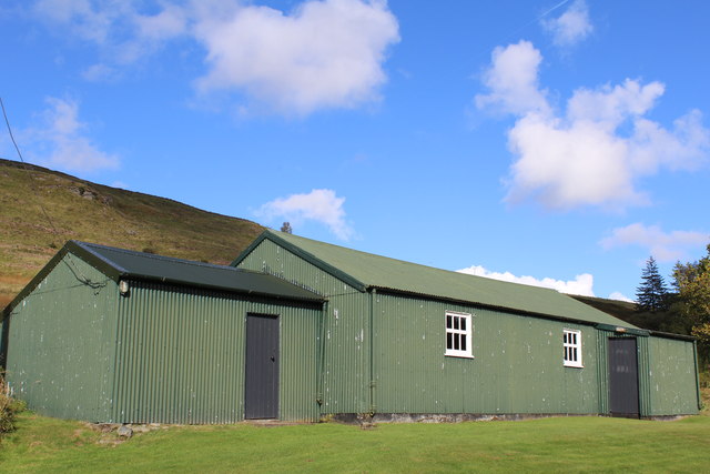
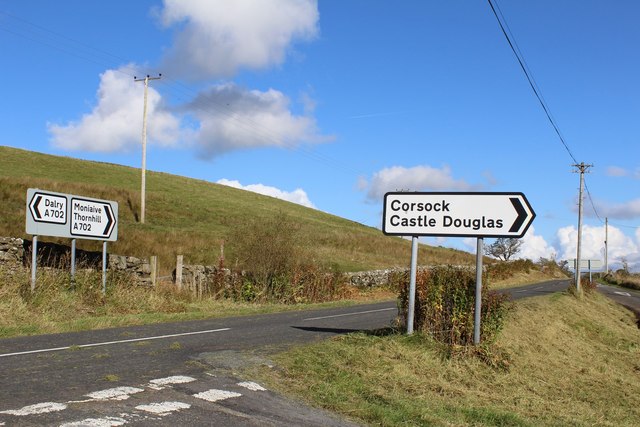
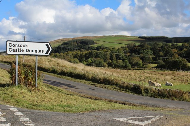
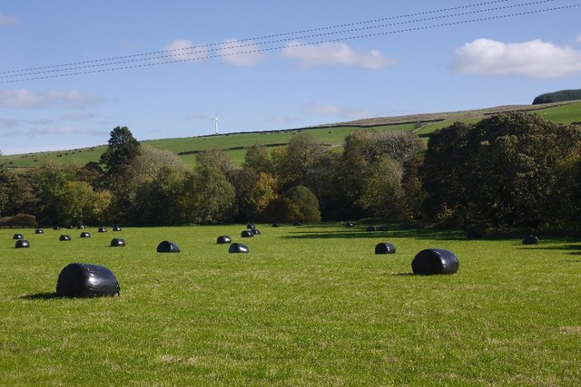
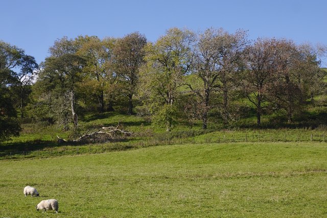
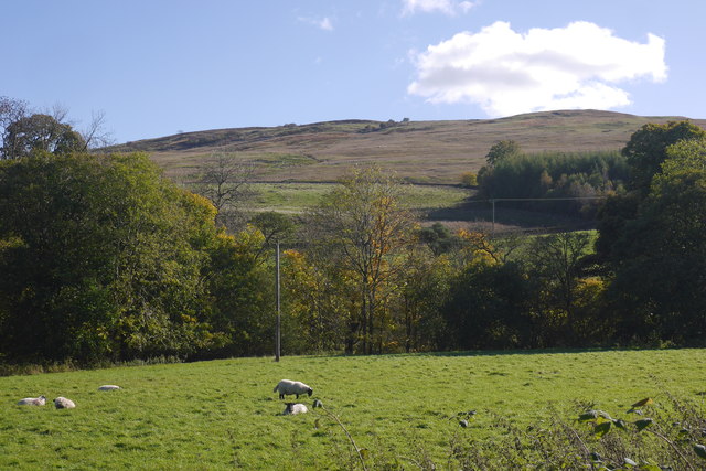
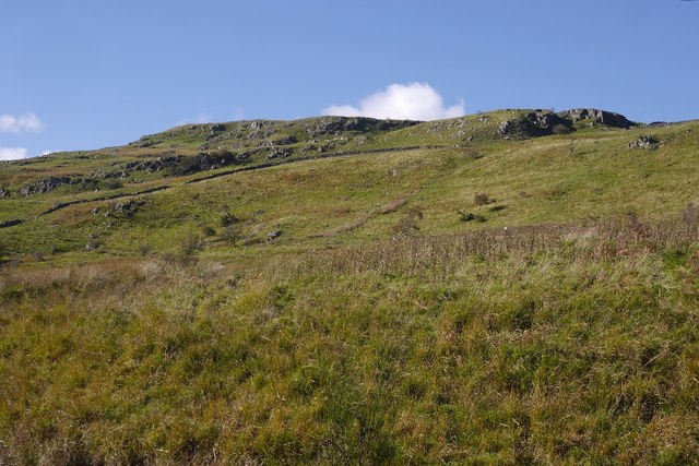
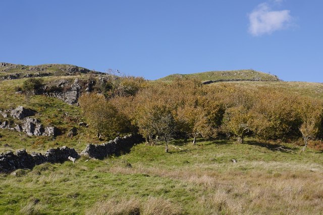
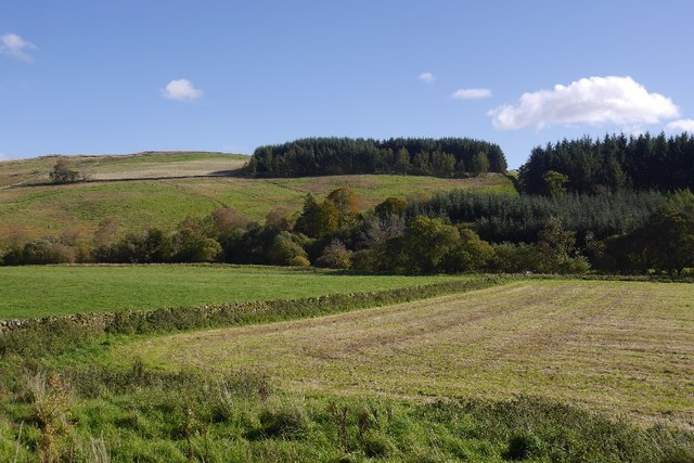
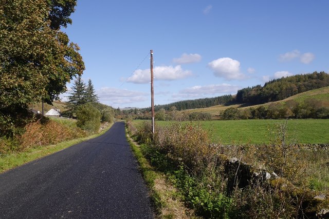
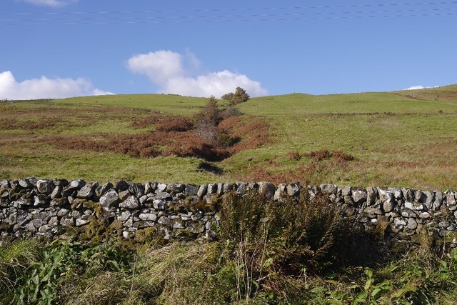
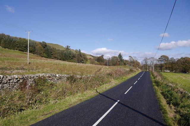
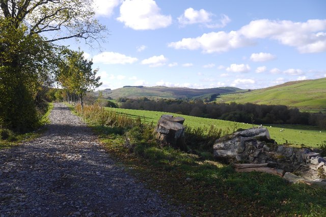
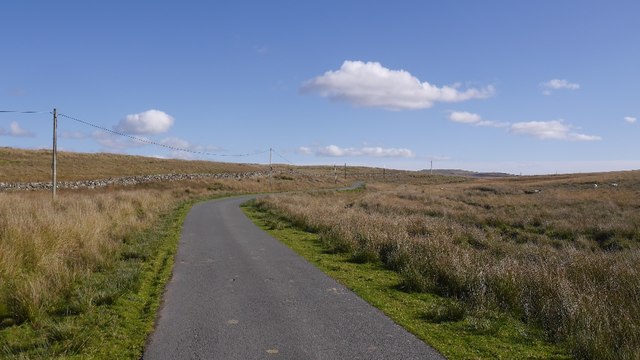
Heathery Plantation is a picturesque expanse of land located in Dumfriesshire, Scotland. Spread across downs and moorland, this plantation covers a vast area and offers breathtaking views of the surrounding countryside. The plantation is known for its lush heather-covered hills, which give it its name and add to its natural beauty.
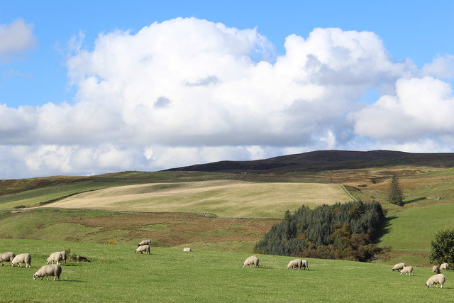
The terrain at Heathery Plantation is diverse and varied, with rolling hills and open fields punctuated by patches of dense woodland. This combination of different landscapes creates a unique and captivating environment for visitors to explore. The downs, with their gentle slopes, provide a perfect vantage point to admire the stunning vistas stretching out before them.
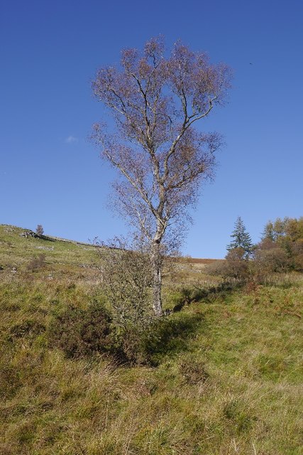
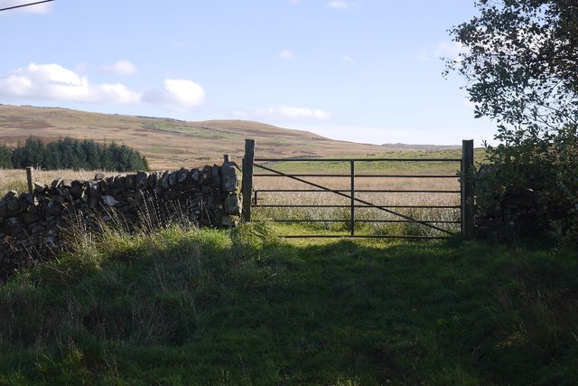
The moorland in the plantation is characterized by its wild and rugged nature. Covered in heather and scattered with rocky outcrops, this part of the plantation offers a more challenging terrain for adventurous hikers and nature enthusiasts. It is home to a rich variety of flora and fauna, including several species of birds, mammals, and insects.
Heathery Plantation is a haven for outdoor activities such as hiking, birdwatching, and photography. Its unspoiled natural beauty makes it an ideal spot for nature lovers seeking tranquility and a chance to reconnect with the great outdoors. Whether one chooses to explore the rolling downs or venture into the moorland, they are guaranteed to be rewarded with stunning views and an unforgettable experience in the heart of Dumfriesshire.
If you have any feedback on the listing, please let us know in the comments section below.
Heathery Plantation Images
Images are sourced within 2km of 55.167428/-3.9475834 or Grid Reference NX7687. Thanks to Geograph Open Source API. All images are credited.
Heathery Plantation is located at Grid Ref: NX7687 (Lat: 55.167428, Lng: -3.9475834)
Unitary Authority: Dumfries and Galloway
Police Authority: Dumfries and Galloway
What 3 Words
///smothered.works.mushroom. Near Thornhill, Dumfries & Galloway
Nearby Locations
Related Wikis

Moniaive railway station
Moniaive railway station is the closed station terminus of the Cairn Valley Light Railway (CVR) branch, from Dumfries. It served the rural area of Moniaive...

Moniaive
Moniaive ( 'monny-IVE'; Scottish Gaelic: Am Moine Naomh, "The Holy Moor") is a village in the Parish of Glencairn, in Dumfries and Galloway, southwest...

Craigdarroch
"Craigdarroch, An Accessory to Murder" is an expansion set for the board game Kill Doctor Lucky Craigdarroch is a house near Moniaive, Dumfries and Galloway...

Crawfordton House
Crawfordton House is a category B listed 19th-century country house, situated close to Moniaive in Dumfriesshire, Scotland. It was operated as Crawfordton...
Nearby Amenities
Located within 500m of 55.167428,-3.9475834Have you been to Heathery Plantation?
Leave your review of Heathery Plantation below (or comments, questions and feedback).