Colville Park
Downs, Moorland in Lanarkshire
Scotland
Colville Park

Colville Park is a beautiful area located in the county of Lanarkshire, Scotland. It is known for its picturesque downs and moorland landscapes, offering visitors a rich natural environment to explore and enjoy.
The downs of Colville Park are characterized by gently rolling hills covered in lush green grass. They provide a peaceful and serene setting, ideal for recreational activities such as walking, hiking, and picnicking. The downs offer stunning panoramic views of the surrounding countryside, showcasing the beauty of Lanarkshire.
The moorland of Colville Park is a unique and diverse ecosystem, with a variety of plants and wildlife. It is home to a wide range of bird species, making it a popular destination for birdwatchers and nature enthusiasts. The moorland is also a haven for wildflowers, with colorful blooms dotting the landscape during the spring and summer months.
Colville Park is well-maintained and offers several amenities to visitors. There are well-marked trails throughout the downs and moorland, providing opportunities for both leisurely walks and more challenging hikes. Additionally, there are designated picnic areas and benches for visitors to relax and enjoy the stunning surroundings.
The park is easily accessible, with ample parking facilities and nearby public transportation options. It is a popular destination for locals and tourists alike, providing a tranquil escape from the hustle and bustle of everyday life.
Overall, Colville Park in Lanarkshire is a haven of natural beauty, offering a peaceful retreat for those seeking a connection with nature. With its downs and moorland landscapes, it provides a diverse and captivating environment that is sure to leave visitors in awe.
If you have any feedback on the listing, please let us know in the comments section below.
Colville Park Images
Images are sourced within 2km of 55.804685/-3.9810446 or Grid Reference NS7558. Thanks to Geograph Open Source API. All images are credited.


Colville Park is located at Grid Ref: NS7558 (Lat: 55.804685, Lng: -3.9810446)
Unitary Authority: North Lanarkshire
Police Authority: Lanarkshire
What 3 Words
///stole.clothed.facelift. Near Carfin, North Lanarkshire
Nearby Locations
Related Wikis

Jerviston
Jerviston is a country estate on the north-eastern edge of the Scottish town of Motherwell in North Lanarkshire which is now occupied by Colville Park...
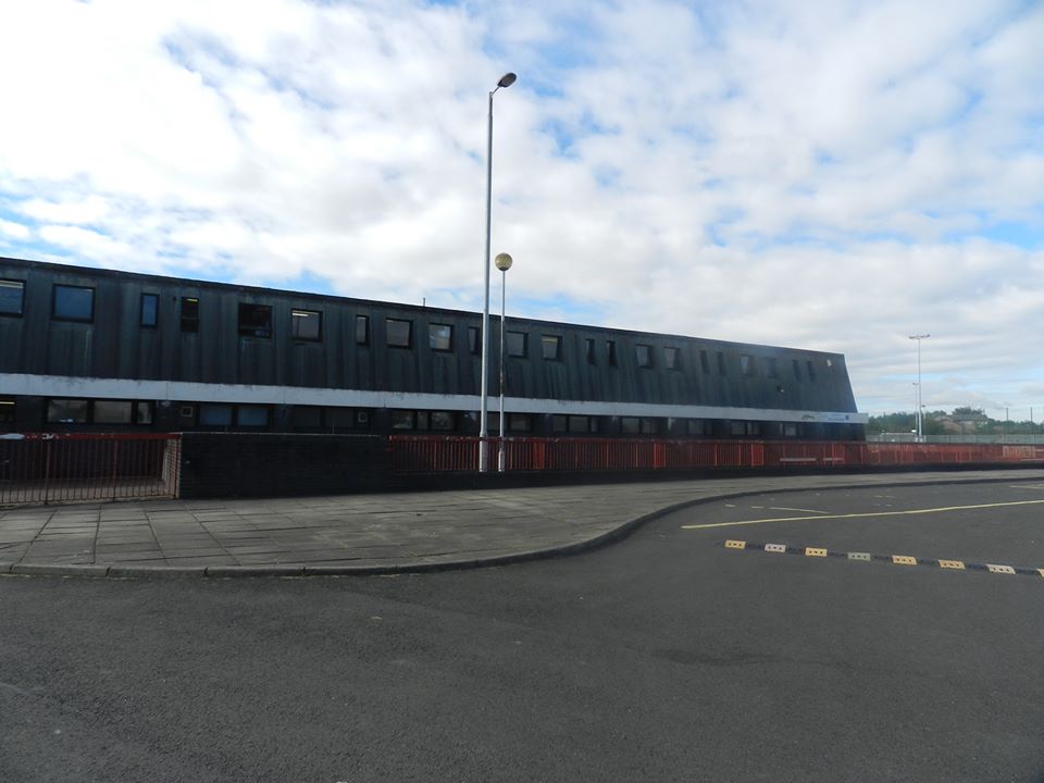
Taylor High School, New Stevenston
Taylor High School is a six-year Roman Catholic comprehensive secondary school in New Stevenston, Motherwell, Scotland. It is named after Monsignor Thomas...

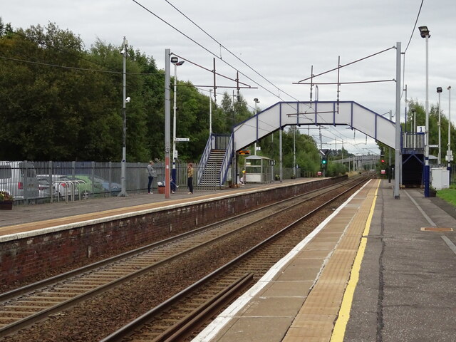
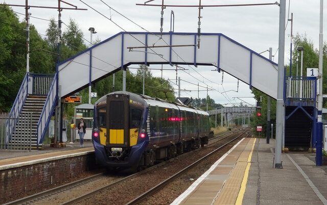
Holytown railway station
Holytown railway station is a railway station serving both Holytown and New Stevenston in North Lanarkshire, Scotland. It is located on the Shotts Line...

Carfin
Carfin (Scottish Gaelic: An Càrn Fionn, meaning the White Cairn) is a village situated to the north-east of Motherwell, Scotland. Most local amenities...
Nearby Amenities
Located within 500m of 55.804685,-3.9810446Have you been to Colville Park?
Leave your review of Colville Park below (or comments, questions and feedback).