Monument Wood
Wood, Forest in Perthshire
Scotland
Monument Wood
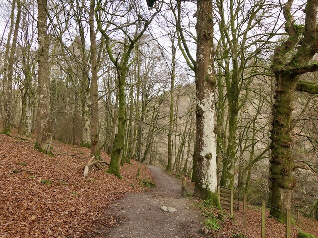
Monument Wood is a picturesque forest located in Perthshire, Scotland. Stretching across an area of approximately 500 acres, this enchanting woodland is known for its natural beauty and historical significance.
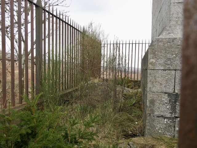
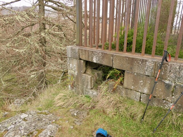
The forest is named after the nearby monument of General George Wade, a prominent military engineer who played a crucial role in the construction of several roads and bridges in the Highlands during the 18th century. The monument stands tall at the entrance of the wood, adding to the charm and allure of the area.
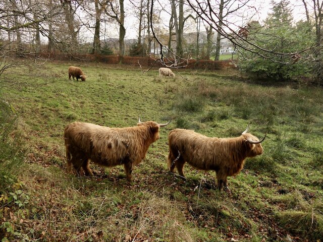
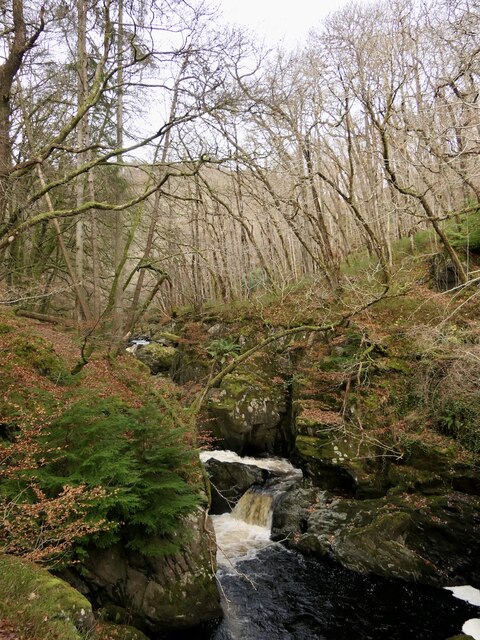
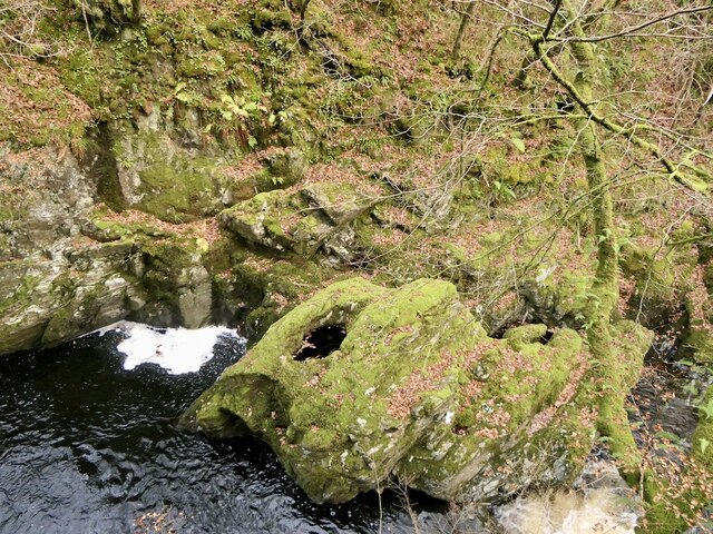
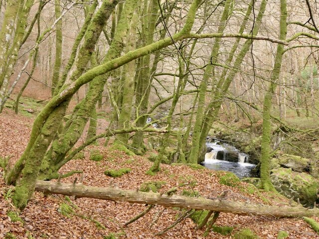
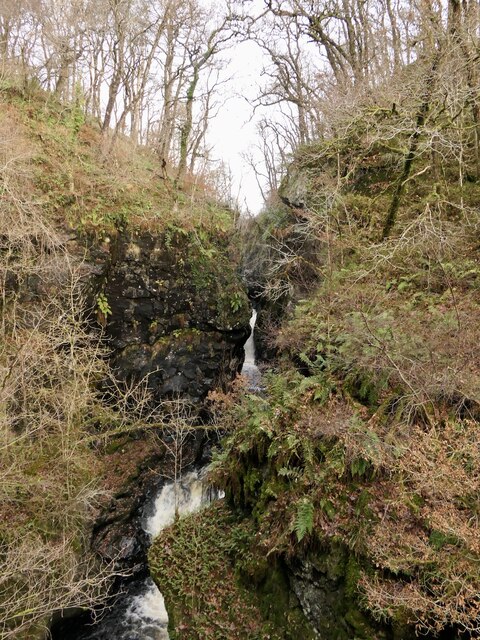
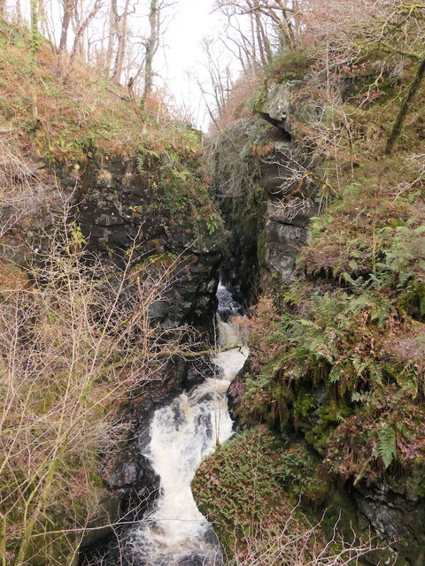
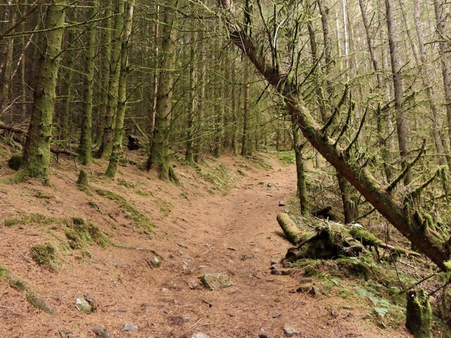
Monument Wood is home to a diverse range of flora and fauna, making it a haven for nature lovers and wildlife enthusiasts. The forest boasts a rich variety of native trees, including oak, birch, and pine, which create a vibrant and serene atmosphere throughout the year. The forest floor is carpeted with a colorful array of wildflowers, providing a delightful sight during the spring and summer months.
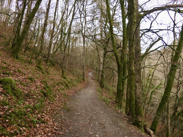
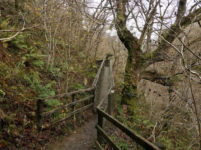
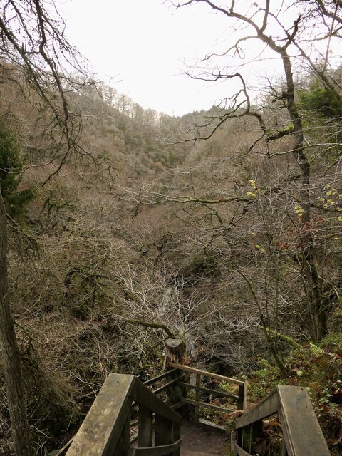
With its extensive network of walking trails, Monument Wood offers visitors the opportunity to explore and discover its hidden treasures. The paths wind through the forest, offering stunning views of the surrounding countryside and the River Tay in the distance. There are also picnic areas scattered throughout the wood, providing a perfect spot to relax and enjoy a meal amidst nature.
Monument Wood is a popular destination for outdoor activities such as hiking, birdwatching, and photography. It provides a tranquil retreat away from the hustle and bustle of city life, allowing visitors to immerse themselves in the peaceful ambiance of the Scottish countryside.
If you have any feedback on the listing, please let us know in the comments section below.
Monument Wood Images
Images are sourced within 2km of 56.387596/-4.001317 or Grid Reference NN7623. Thanks to Geograph Open Source API. All images are credited.


Monument Wood is located at Grid Ref: NN7623 (Lat: 56.387596, Lng: -4.001317)
Unitary Authority: Perth and Kinross
Police Authority: Tayside
What 3 Words
///shuts.outlawing.stone. Near Comrie, Perth & Kinross
Nearby Locations
Related Wikis
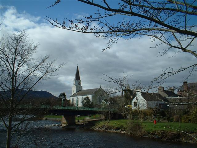
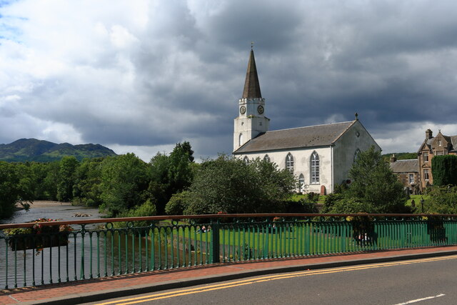
Comrie, Perth and Kinross
Comrie (; Gaelic: Cuimridh; Pictish: Aberlednock; Latin: Victoria) is a village and parish in the southern Highlands of Scotland, towards the western end...

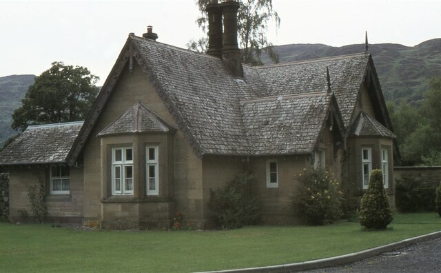
1 Dunira Street
1 Dunira Street is an historic building in Comrie, Perth and Kinross, Scotland. It is a Category A listed building dating to 1904. Its architect was Charles...
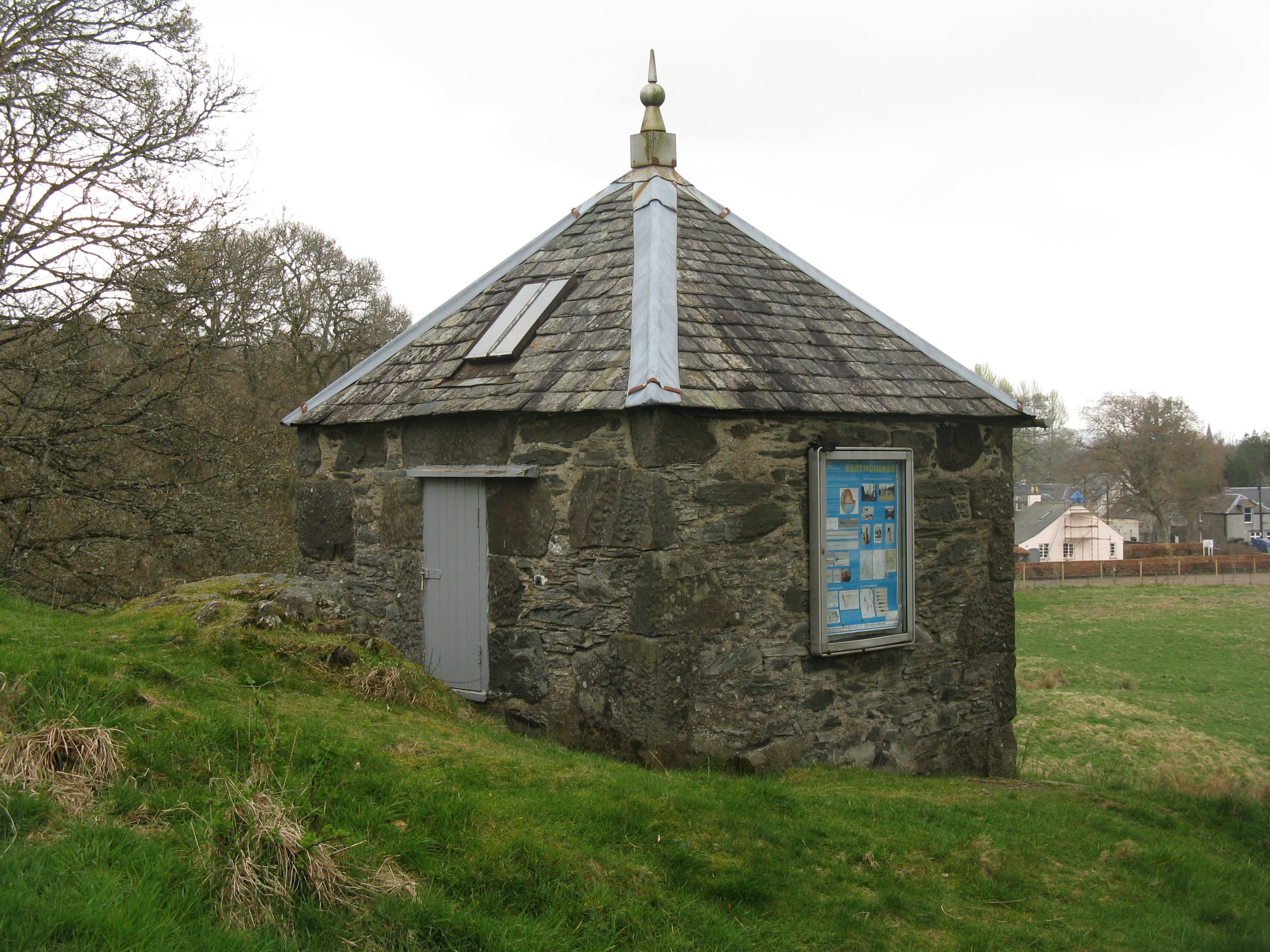
Earthquake House
The Earthquake House, on the outskirts of the village of Comrie, in Perth and Kinross, Scotland, was the first dedicated earthquake observatory in the...

Dalchonzie
Dalchonzie is a place by the river Earn in Perthshire. Buildings there include a country house, a hydro-electric power station and farms. From 1903 to...
Nearby Amenities
Located within 500m of 56.387596,-4.001317Have you been to Monument Wood?
Leave your review of Monument Wood below (or comments, questions and feedback).