Raeheads Plantation

Wood, Forest in Stirlingshire

Scotland

Raeheads Plantation

Track to Muirpark
Track to Muirpark Credit: Richard Sutcliffe

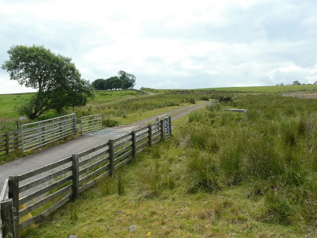
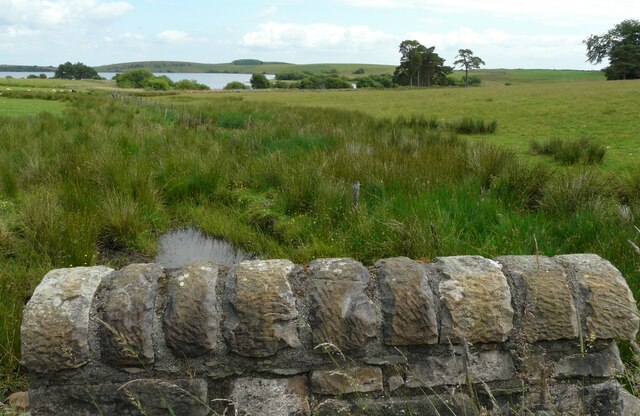
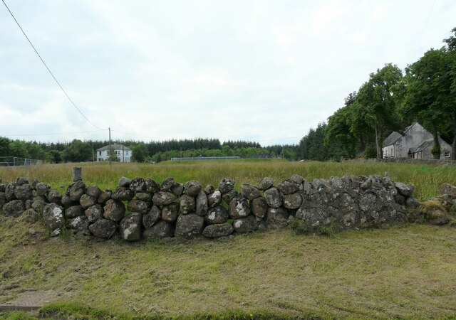
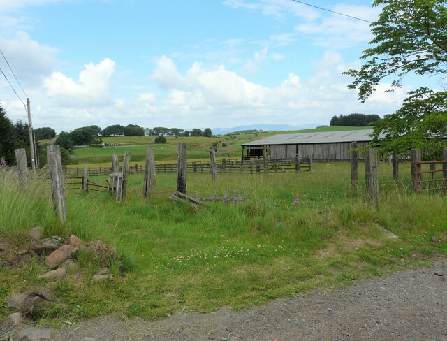
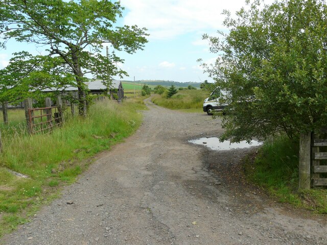
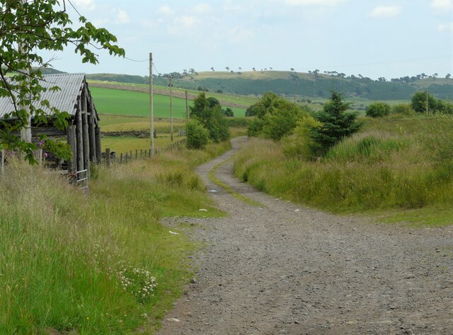
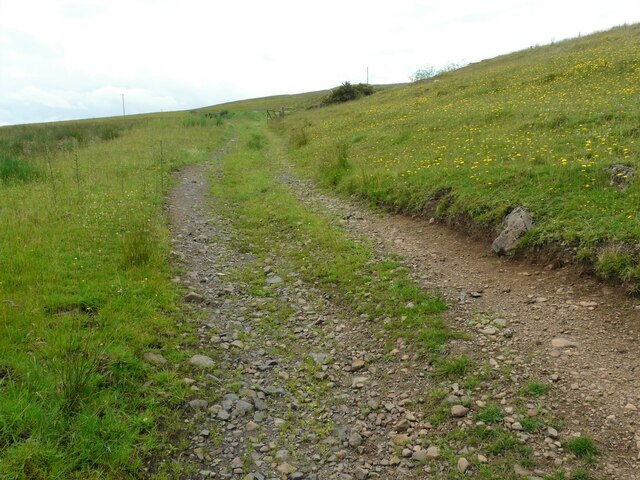
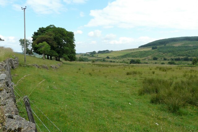
Raeheads Plantation is a serene woodland located in Stirlingshire, Scotland. Spanning over a vast area, it is known for its lush greenery, towering trees, and diverse flora and fauna. The plantation is situated near the town of Denny, just a short distance from the bustling city of Stirling.

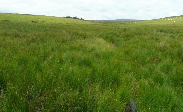
The woodland is primarily composed of indigenous tree species such as oak, beech, and birch, offering a picturesque landscape all year round. The rich soil and favorable climate in Stirlingshire contribute to the plantation's thriving vegetation. The trees provide a dense canopy, creating a cool and tranquil environment, perfect for nature enthusiasts and those seeking a peaceful retreat.

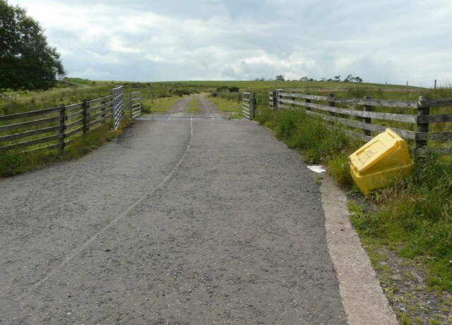
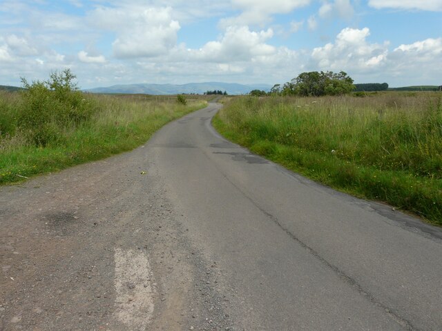
Raeheads Plantation offers an array of recreational activities for visitors. It features well-maintained trails that wind through the woodland, allowing hikers and walkers to explore the area's natural beauty. Birdwatchers will be delighted by the diverse avian population that calls the plantation home, including species like woodpeckers, owls, and various songbirds.

The woodland is also home to numerous other wildlife species, such as red squirrels, rabbits, and deer. Nature lovers may catch glimpses of these animals as they traverse the plantation, adding to the enchanting experience.

Raeheads Plantation provides an ideal escape from the hustle and bustle of modern life. Its natural beauty, peaceful atmosphere, and diverse wildlife make it a must-visit destination for those seeking a connection with nature in Stirlingshire.

If you have any feedback on the listing, please let us know in the comments section below.

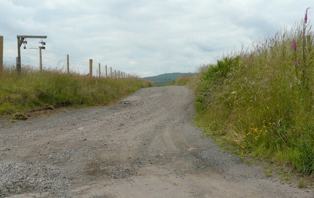
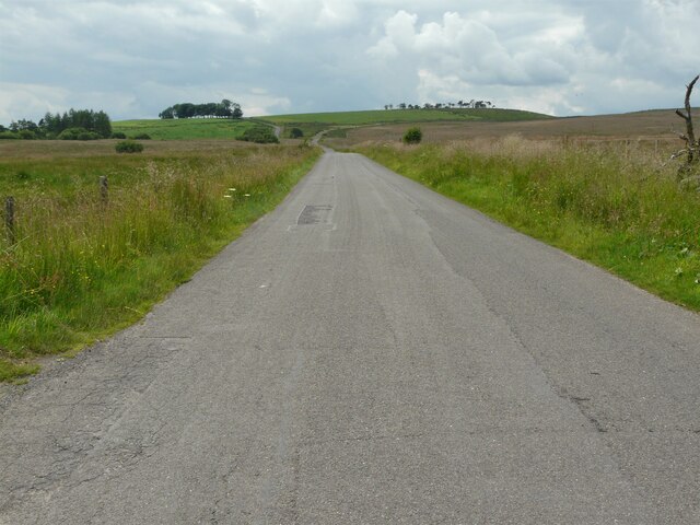
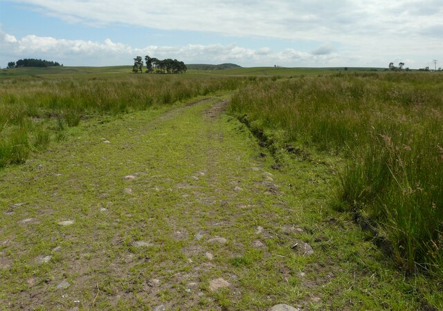
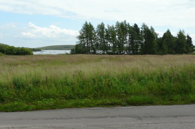
Raeheads Plantation Images

Images are sourced within 2km of 56.050703/-4.0112573 or Grid Reference NS7486. Thanks to Geograph Open Source API. All images are credited.

Track to Muirpark
Track to Muirpark
Minor road Looking northeast.
Minor road
Looking northeast.
Minor road Looking southwest. In the distance the road bears left around the western end of Coulter Reservoir, while a track to the right leads to Craigengelt Wind Farm.
Minor road
Looking southwest. In the distance the road bears left around the western end of Coulter Reservoir, while a track to the right leads to Craigengelt Wind Farm.
Grassy track Leading off a minor road.
Grassy track
Leading off a minor road.
Trees beside Loch Coulter Reservoir
Cattle grid and gate At the start of a track leading to Craigengelt Wind Farm.
Cattle grid and gate
At the start of a track leading to Craigengelt Wind Farm.
Cattle grid and gate At the start of a track leading to Craigengelt Wind Farm.
Cattle grid and gate
At the start of a track leading to Craigengelt Wind Farm.
Minor road Looking northeast.
Minor road
Looking northeast.
Loch Coulter Reservoir Seen from the road to the west of the reservoir.
Loch Coulter Reservoir
Seen from the road to the west of the reservoir.
Bridge parapet The bridge is over a small un-named burn, which flows into Loch Coulter Reservoir (in the distance).
Bridge parapet
The bridge is over a small un-named burn, which flows into Loch Coulter Reservoir (in the distance).
Wet grassland Looking towards the Craigengelt Wind Farm. Some of the wind turbines can just be seen on the horizon to the left of the trees.
Wet grassland
Looking towards the Craigengelt Wind Farm. Some of the wind turbines can just be seen on the horizon to the left of the trees.
Minor road The slow road marking is just before a blind summit on the narrow road.
Minor road
The slow road marking is just before a blind summit on the narrow road.
Drystone wall In the distance (to the right of the house) is a water works. The building on the right is the former Buckieburn Church. This simple structure dates from 1750 and is Category B listed <span class="nowrap"><a title="http://portal.historicenvironment.scot/designation/LB15272" rel="nofollow ugc noopener" href="http://portal.historicenvironment.scot/designation/LB15272">Link</a><img style="margin-left:2px;" alt="External link" title="External link - shift click to open in new window" src="https://s1.geograph.org.uk/img/external.png" width="10" height="10"/></span>. It was converted into a dwelling house in 2004.
Drystone wall
In the distance (to the right of the house) is a water works. The building on the right is the former Buckieburn Church. This simple structure dates from 1750 and is Category B listed LinkExternal link. It was converted into a dwelling house in 2004.
Lots of wooden posts These appear to be the remains of some animal pens, associated with the building behind.
Lots of wooden posts
These appear to be the remains of some animal pens, associated with the building behind.
Farm track to Glenhead
Track to old quarry A stoney track up a hillside off the road to Carron Bridge.
Track to old quarry
A stoney track up a hillside off the road to Carron Bridge.
Rough grassland North of Carron Bridge.
Rough grassland
North of Carron Bridge.
Show me another place!

Raeheads Plantation is located at Grid Ref: NS7486 (Lat: 56.050703, Lng: -4.0112573)

Unitary Authority: Stirling

Police Authority: Forth Valley

What 3 Words

///craters.votes.houseboat. Near Dunipace, Falkirk

Related Wikis

Stirling Transmitting Station

Stirling Transmitting Station is a transmission facility on Earl's Hill southwest of Stirling, Scotland. It was built at the end of the 1950s for the radio...

Duncarron

Duncarron is a modern reproduction of a fortified village from the early Middle Ages of Scotland. It is the reconstruction of a typical residence of a...

Central 103.1 FM

Central 103.1 FM is an Independent Local Radio station serving Falkirk, Stirling, Clackmannanshire and the Forth Valley. It is owned and operated by businessman...

Howietoun Fishery

Howietoun Fishery was created by Sir James Ramsay Gibson Maitland; it is a Victorian fish farm that specialised in the study of trout and salmon farming...

Fankerton

Fankerton is a small village which lies within the Falkirk council area of Scotland. The village is 1 mile (1.6 km) west of Denny and 6.3 miles (10.1 km...

Auchenbowie House

Auchenbowie House is a laird's house (mansion) in Stirling, Scotland. The location is about 3.5 miles (5.6 km) south of Stirling, on minor road west of...

Strathcarron Hospice

Strathcarron Hospice is a free palliative care resource in Denny, Scotland, serving people in the Forth Valley and North Lanarkshire areas. It was established...

Gillies Hill

Gillies Hill is located west of Stirling and the M9, south of Cambusbarron, and north of the Bannock Burn in Central Scotland. Gillies Hill covers a 140...

Nearby Amenities

Located within 500m of 56.050703,-4.0112573
Material: wood
Power: pole
Lat/Long: 56.0465755/-4.0099167
Material: wood
Power: pole
Lat/Long: 56.046991/-4.0106189
Material: wood
Power: pole
Lat/Long: 56.0474277/-4.0101227
Material: wood
Power: pole
Lat/Long: 56.0474505/-4.0113767
Material: wood
Power: pole
Lat/Long: 56.0481142/-4.0115995
Material: wood
Power: pole
Lat/Long: 56.0482768/-4.0124883
Material: wood
Power: pole
Lat/Long: 56.0483527/-4.0110853
Material: wood
Power: pole
Lat/Long: 56.0484373/-4.0133718
Material: wood
Power: pole
Lat/Long: 56.0486065/-4.0142707
Material: wood
Power: pole
Lat/Long: 56.0487208/-4.010334
Material: wood
Power: pole
Lat/Long: 56.0487765/-4.0151428
Material: wood
Power: pole
Lat/Long: 56.0489104/-4.015893
Material: wood
Power: pole
Lat/Long: 56.0490438/-4.0082527
Material: wood
Power: pole
Lat/Long: 56.0491035/-4.0095914
Material: wood
Power: pole
Lat/Long: 56.0496614/-4.0075294
Power: pole
Lat/Long: 56.04952/-4.0088727
Power: pole
Lat/Long: 56.0481972/-4.0092727
The data included in this document is from www.openstreetmap.org. The data is made available under ODbL.

Have you been to Raeheads Plantation?

Leave your review of Raeheads Plantation below (or comments, questions and feedback).