Miss Dick's Plantation
Wood, Forest in Stirlingshire
Scotland
Miss Dick's Plantation
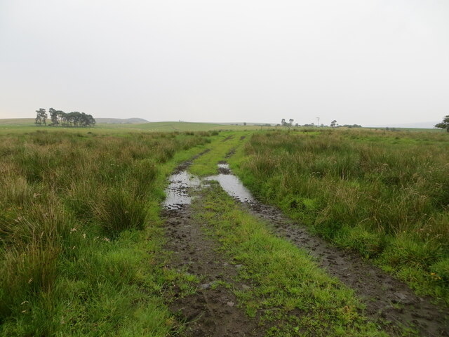
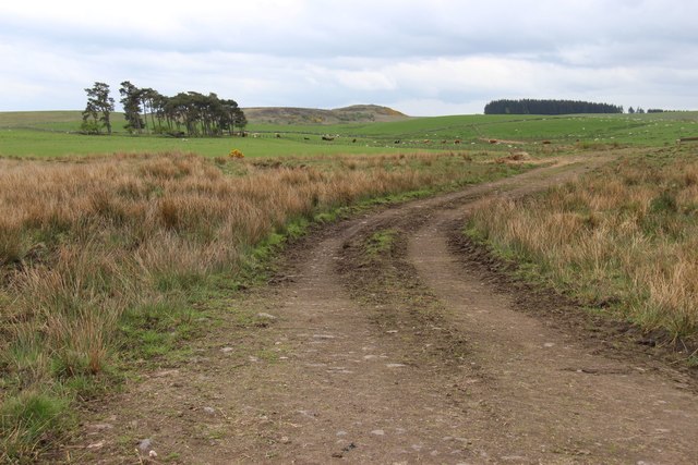
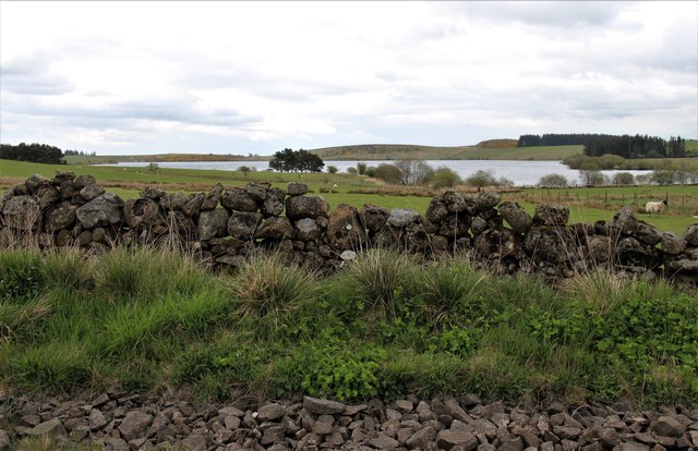
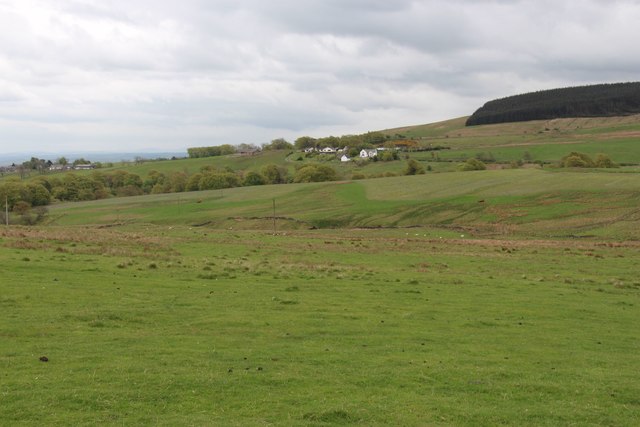
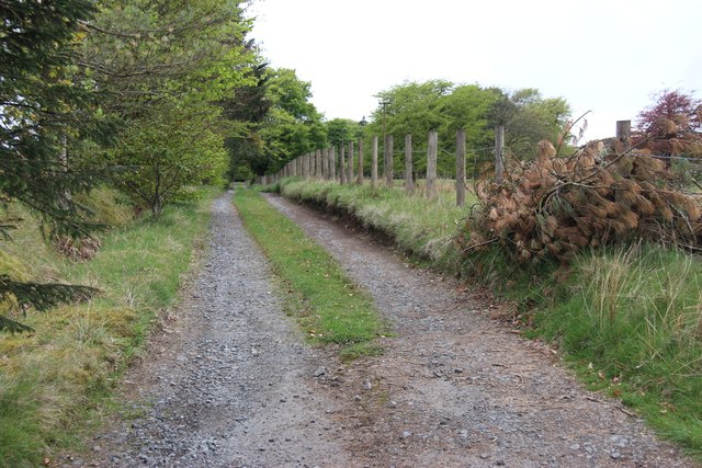
Miss Dick's Plantation is a picturesque woodland area located in Stirlingshire, Scotland. Covering a vast expanse of land, the plantation is known for its lush forests and diverse range of flora and fauna. The plantation is situated in a serene and tranquil setting, making it a popular destination for nature lovers and outdoor enthusiasts.
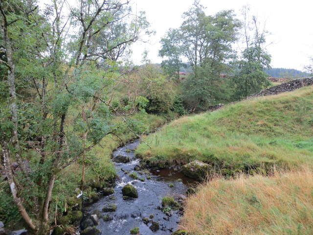
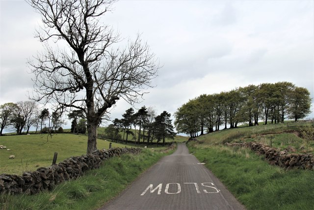
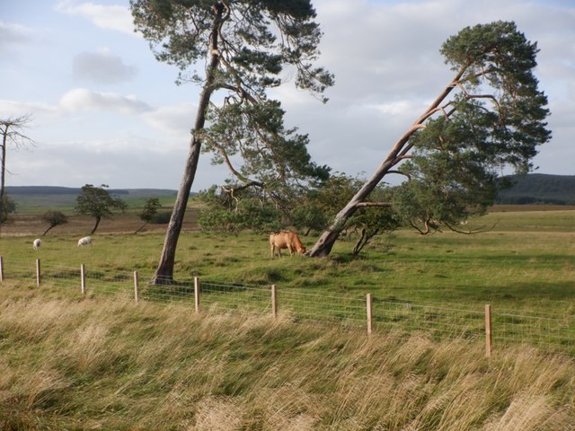
The woodland is predominantly composed of native Scottish tree species, including oak, beech, and pine, among others. The trees form a dense canopy, providing shade and shelter for a variety of wildlife. The forest floor is carpeted with a rich layer of moss and ferns, creating a verdant and undisturbed ecosystem.
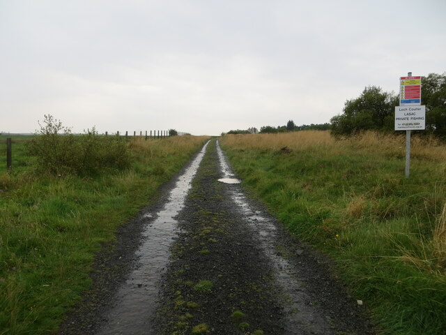
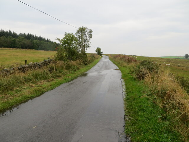
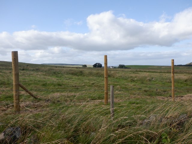
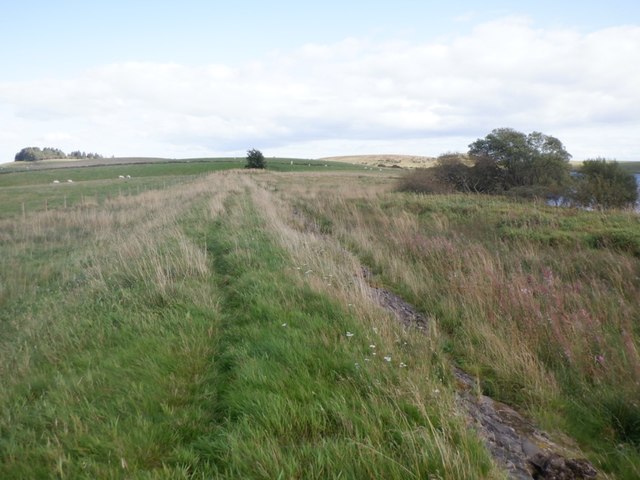
Visitors to Miss Dick's Plantation can explore the numerous walking trails that wind through the woodland, allowing for an immersive experience in nature. The trails are well-maintained and offer stunning views of the surrounding landscape. Birdwatchers will be delighted by the presence of various avian species, including woodpeckers, owls, and finches, which can be spotted throughout the plantation.
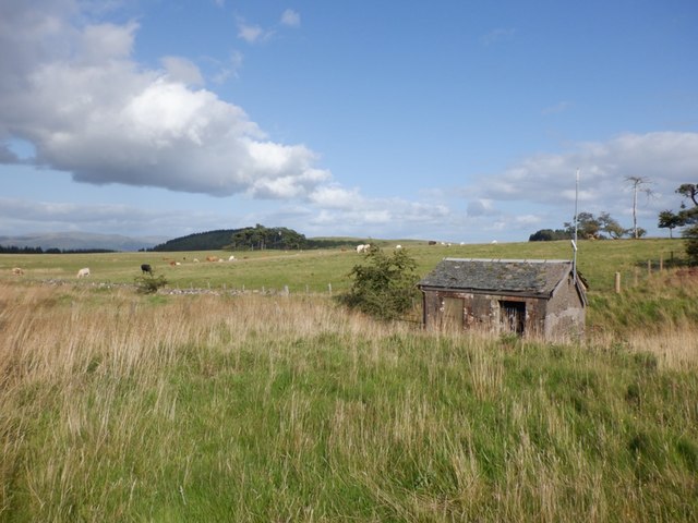
The plantation is also home to a diverse array of wildlife, including deer, foxes, squirrels, and rabbits. Nature enthusiasts can often observe these animals in their natural habitats, providing a unique opportunity for wildlife photography and observation.
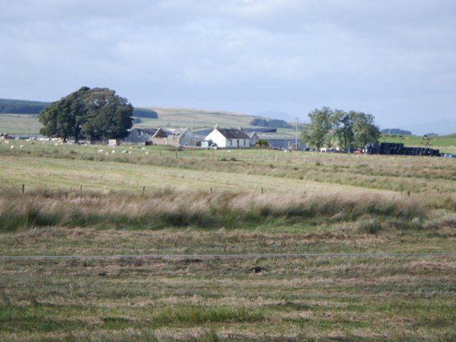
Overall, Miss Dick's Plantation is a remarkable woodland in Stirlingshire, offering a peaceful and scenic escape from the bustling city life. With its majestic trees, thriving wildlife, and well-maintained trails, it is an ideal destination for those seeking a connection with nature.
If you have any feedback on the listing, please let us know in the comments section below.
Miss Dick's Plantation Images
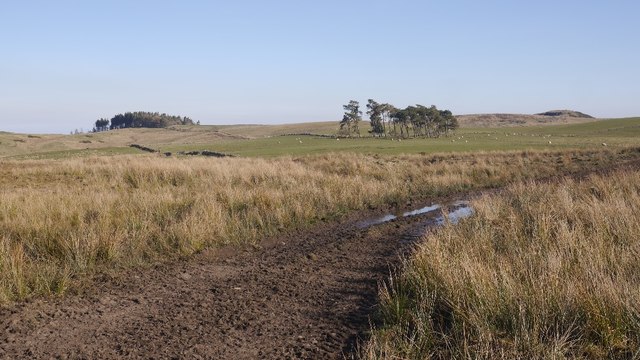
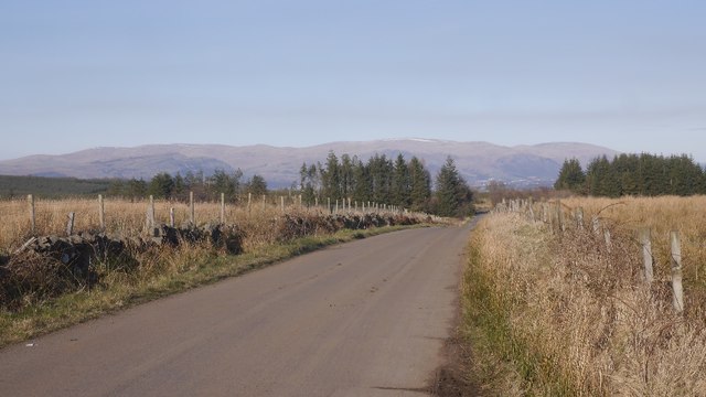
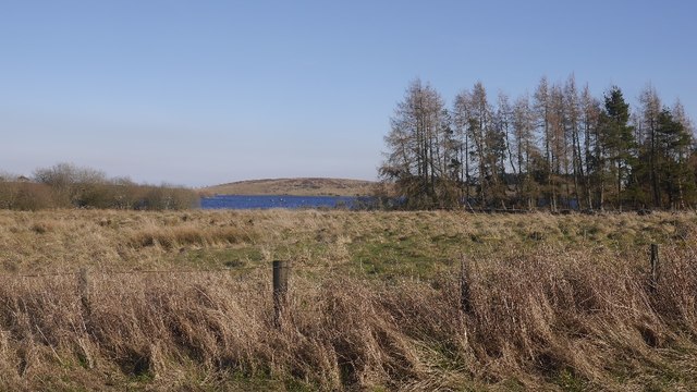
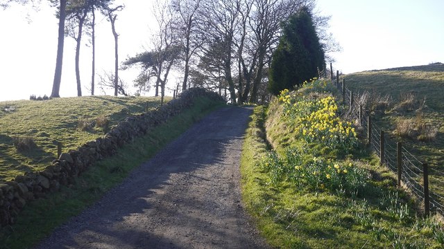
Images are sourced within 2km of 56.050415/-4.0190304 or Grid Reference NS7486. Thanks to Geograph Open Source API. All images are credited.
Miss Dick's Plantation is located at Grid Ref: NS7486 (Lat: 56.050415, Lng: -4.0190304)
Unitary Authority: Stirling
Police Authority: Forth Valley
What 3 Words
///rocked.tequila.feasted. Near Dunipace, Falkirk
Nearby Locations
Related Wikis

Stirling Transmitting Station
Stirling Transmitting Station is a transmission facility on Earl's Hill southwest of Stirling, Scotland. It was built at the end of the 1950s for the radio...

Duncarron
Duncarron is a modern reproduction of a fortified village from the early Middle Ages of Scotland. It is the reconstruction of a typical residence of a...
Central 103.1 FM
Central 103.1 FM is an Independent Local Radio station serving Falkirk, Stirling, Clackmannanshire and the Forth Valley. It is owned and operated by businessman...

Howietoun Fishery
Howietoun Fishery was created by Sir James Ramsay Gibson Maitland; it is a Victorian fish farm that specialised in the study of trout and salmon farming...
Nearby Amenities
Located within 500m of 56.050415,-4.0190304Have you been to Miss Dick's Plantation?
Leave your review of Miss Dick's Plantation below (or comments, questions and feedback).