Whitchurch Rural

Civil Parish in Shropshire

England

Whitchurch Rural

New house, Ash Magna
New house, Ash Magna Credit: Richard Webb

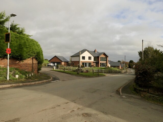
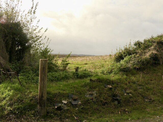
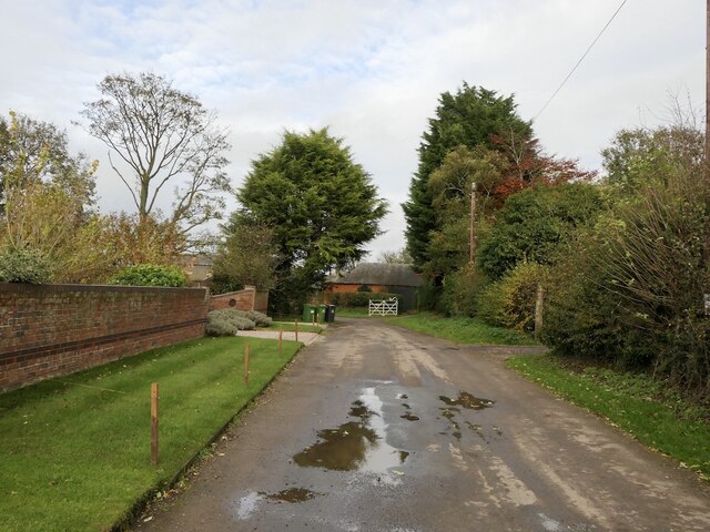
Whitchurch Rural is a civil parish located in Shropshire, England. It covers an area of approximately 21 square miles and is situated to the north of the town of Whitchurch. The parish is predominantly rural in nature, characterized by rolling countryside, farmland, and scattered hamlets.

The population of Whitchurch Rural is relatively small, with around 1,000 residents living in the area. The parish is known for its peaceful and picturesque setting, attracting those seeking a quiet and idyllic lifestyle away from the hustle and bustle of larger towns and cities.

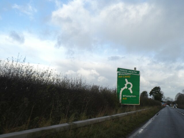
Despite its rural location, Whitchurch Rural is well-connected to surrounding areas. The nearby town of Whitchurch provides amenities and services such as schools, healthcare facilities, and shops. The parish is also within easy reach of major road networks, including the A41 and A49, offering convenient access to other parts of Shropshire and beyond.

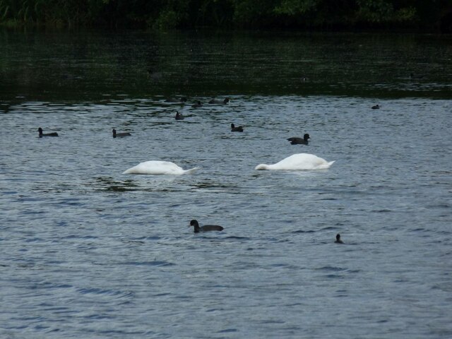
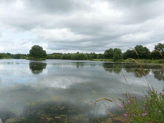
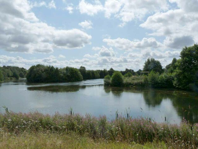
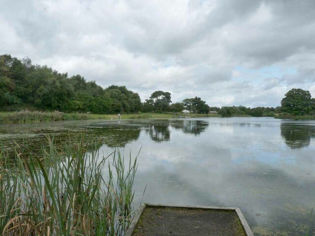
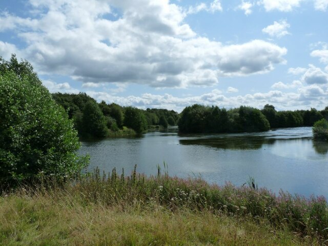
Whitchurch Rural boasts a rich history, with several historic buildings and landmarks dotting the landscape. These include St. John the Baptist Church, a Grade I listed building dating back to the 12th century, and Dearnford Lake, a popular recreational spot offering fishing, boating, and walking opportunities.

Overall, Whitchurch Rural offers a tranquil and picturesque setting, making it an attractive place for those seeking a rural lifestyle with easy access to amenities and transport links.

If you have any feedback on the listing, please let us know in the comments section below.

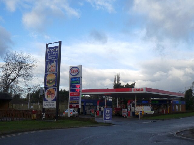
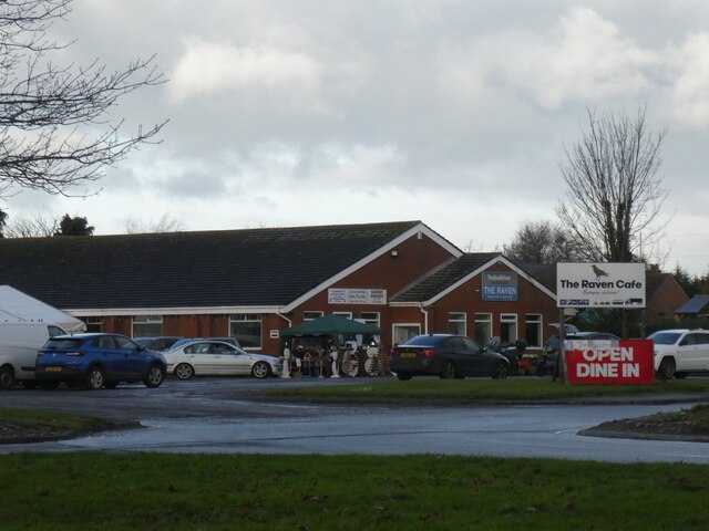
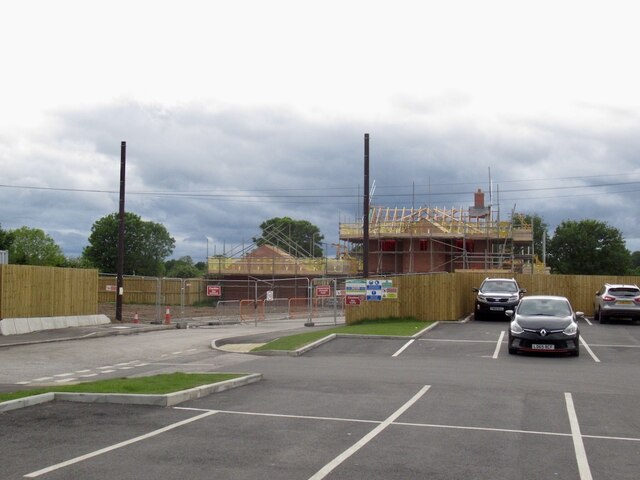
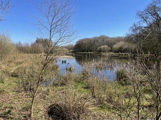
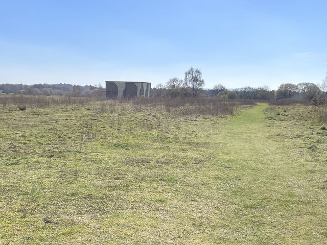
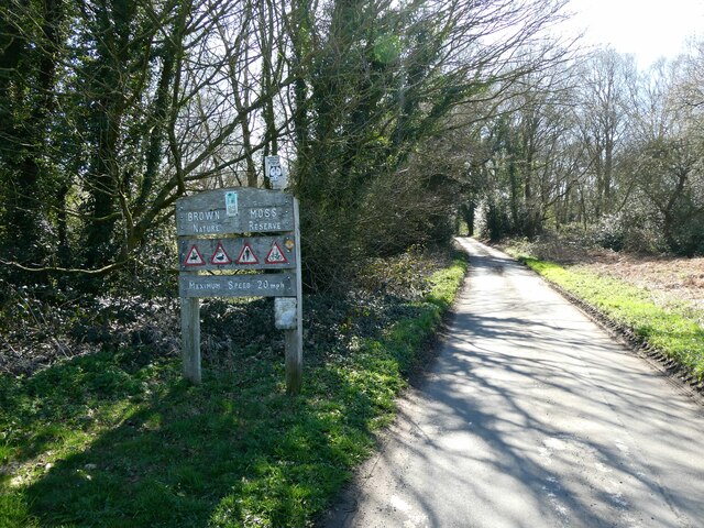
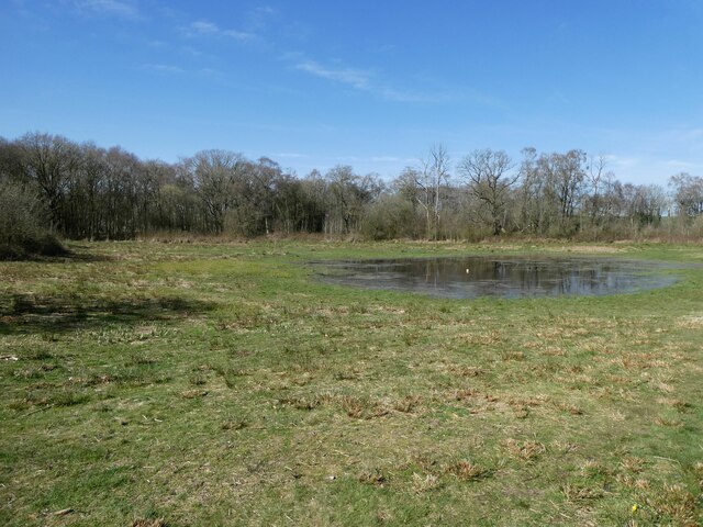
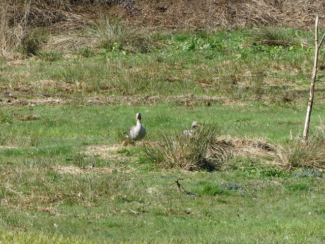
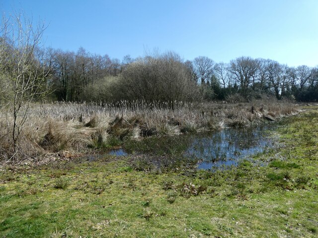
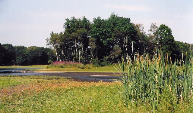
Whitchurch Rural Images

Images are sourced within 2km of 52.948031/-2.655322 or Grid Reference SJ5639. Thanks to Geograph Open Source API. All images are credited.

New house, Ash Magna
Harvested maize, Ash Magna
Road to Ash Court
Road to Ash Court
Headless swans Water birds on Alderford Lake
Headless swans
Water birds on Alderford Lake
Islands in the lake View across the Alderford Lake.
Islands in the lake
View across the Alderford Lake.
Islands in the lake View across Alderford Lake
Islands in the lake
View across Alderford Lake
Fishing stand on the lake View across Alderford lake.
Fishing stand on the lake
View across Alderford lake.
Islands in the lake View of the islands in Alderford Lake.
Islands in the lake
View of the islands in Alderford Lake.
Advance sign (damaged) for roundabout at Prees Heath The A49 is a major road, which traverses the Welsh Marches region. It runs north from Ross-on-Wye in Herefordshire via Hereford, Leominster, Ludlow, Shrewsbury and Whitchurch, then continues to Warrington and Wigan before terminating at its junction with the A6 road just south of Bamber Bridge, near the junction of the M6, M65 and M61 motorways.
Advance sign (damaged) for roundabout at Prees Heath
The A49 is a major road, which traverses the Welsh Marches region. It runs north from Ross-on-Wye in Herefordshire via Hereford, Leominster, Ludlow, Shrewsbury and Whitchurch, then continues to Warrington and Wigan before terminating at its junction with the A6 road just south of Bamber Bridge, near the junction of the M6, M65 and M61 motorways.
Esso filling station at Prees Heath The signs also advertise "Prees Fish and Chips Restaurant Takeaway"
Esso filling station at Prees Heath
The signs also advertise "Prees Fish and Chips Restaurant Takeaway"
Raven Cafe, Prees Heath
House building, Prees Heath
Brown Moss Nature Reserve This former peat bog is now a Site of Special Scientific Interest. It is a unique natural environment, sensitively managed by Shropshire County Council and the Shropshire Wildlife Trust.
Brown Moss Nature Reserve
This former peat bog is now a Site of Special Scientific Interest. It is a unique natural environment, sensitively managed by Shropshire County Council and the Shropshire Wildlife Trust.
Prees Heath Common The Shropshire Way winds its steady way past the camouflaged building in the distance. This is the former air control tower used during both world wars, when this flat stretch of heathland was used as an airfield for RAF Tilstock. Prees Heath Common is now a Site of Special Scientific Interest, best known for the silver-studded blue butterfly which thrives in this heathland habitat.
Prees Heath Common
The Shropshire Way winds its steady way past the camouflaged building in the distance. This is the former air control tower used during both world wars, when this flat stretch of heathland was used as an airfield for RAF Tilstock. Prees Heath Common is now a Site of Special Scientific Interest, best known for the silver-studded blue butterfly which thrives in this heathland habitat.
Approaching Brown Moss Nature Reserve near Whitchurch, Shropshire I have never been here before so I am keen to explore.
Approaching Brown Moss Nature Reserve near Whitchurch, Shropshire
I have never been here before so I am keen to explore.
Part of Brown Moss Nature Reserve near Whitchurch, Shropshire Already I am impressed. There are a pair of geese out there hiding a bit. Its quiet, secluded and safe. Just what I would hope.
Part of Brown Moss Nature Reserve near Whitchurch, Shropshire
Already I am impressed. There are a pair of geese out there hiding a bit. Its quiet, secluded and safe. Just what I would hope.
Pair of geese at Brown Moss Good to see these two here.
Pair of geese at Brown Moss
Good to see these two here.
Reed bed at Brown Moss I love a reed bed and lake margin.
Reed bed at Brown Moss
I love a reed bed and lake margin.
Show me another place!

Whitchurch Rural is located at Grid Ref: SJ5639 (Lat: 52.948031, Lng: -2.655322)

Unitary Authority: Shropshire

Police Authority: West Mercia

What 3 Words

///unrealistic.worms.soil. Near Ash, Shropshire

Nearby Locations

Whitchurch Rural

Related Wikis

Nearby Amenities

Located within 500m of 52.948031,-2.655322
Parking
Access: yes
Fee: no
Operator: Shropshire County Council
Operator Type: government
Parking: surface
Surface: grass
Lat/Long: 52.951036/-2.652204
Cafe
Lat/Long: 52.9472693/-2.6520719
Barrier: kissing_gate
Foot: yes
Lat/Long: 52.9476604/-2.6525308
Barrier: kissing_gate
Foot: yes
Lat/Long: 52.9489795/-2.6506843
The data included in this document is from www.openstreetmap.org. The data is made available under ODbL.

Have you been to Whitchurch Rural?

Leave your review of Whitchurch Rural below (or comments, questions and feedback).