Whitchurch Urban
Civil Parish in Shropshire
England
Whitchurch Urban
Whitchurch Urban is a civil parish located in the county of Shropshire, England. It is situated in the northern part of the county, close to the border with Wales. The parish covers an area of approximately 2.85 square miles (7.40 square kilometers) and has a population of around 9,500 people.
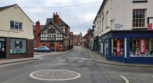
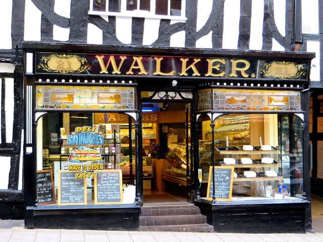
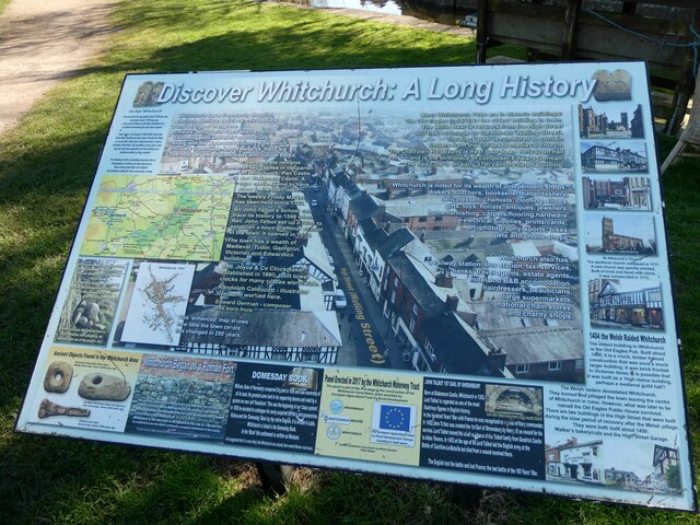
The town of Whitchurch, after which the parish is named, serves as the main administrative center for the area. It is a historic market town with a rich heritage dating back to Roman times. The town is known for its picturesque architecture, including timber-framed buildings and Georgian houses.
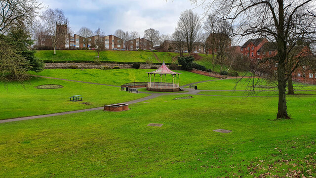
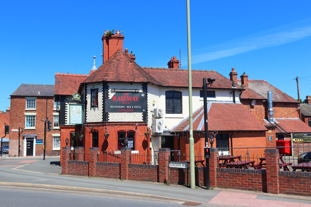
Whitchurch Urban offers a range of amenities and services to its residents and visitors. The town has a variety of shops, restaurants, and cafes, providing plenty of options for shopping and dining. There are also several schools, healthcare facilities, and recreational spaces within the parish.
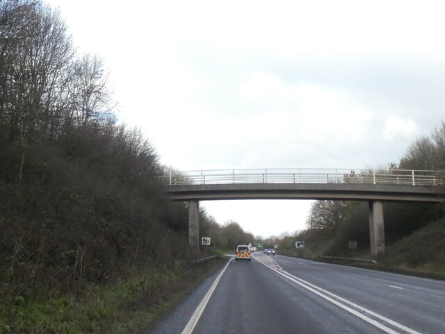
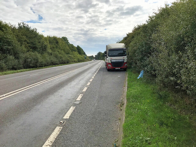
Transportation in Whitchurch Urban is well-connected, with the town being served by a railway station that provides links to major cities like Manchester, Birmingham, and Cardiff. Additionally, the parish is intersected by several major roads, including the A41 and A49, facilitating easy access to surrounding areas.
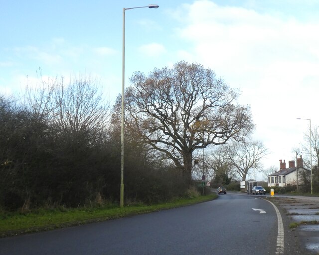
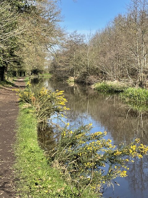
The natural beauty of the Shropshire countryside surrounds Whitchurch Urban, offering residents and visitors opportunities for outdoor activities such as hiking, cycling, and exploring the local wildlife. The area is also known for its agricultural heritage, with farming playing an important role in the local economy.
Overall, Whitchurch Urban is a charming civil parish that combines a rich history, beautiful surroundings, and a range of amenities to create a desirable place to live or visit in Shropshire.
If you have any feedback on the listing, please let us know in the comments section below.
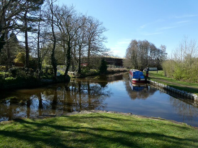
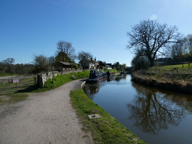
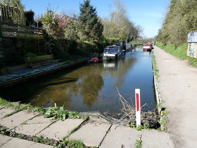
Whitchurch Urban Images
Images are sourced within 2km of 52.973315/-2.683254 or Grid Reference SJ5441. Thanks to Geograph Open Source API. All images are credited.


Whitchurch Urban is located at Grid Ref: SJ5441 (Lat: 52.973315, Lng: -2.683254)
Unitary Authority: Shropshire
Police Authority: West Mercia
What 3 Words
///torched.darkest.promoting. Near Whitchurch, Shropshire
Nearby Locations
Related Wikis

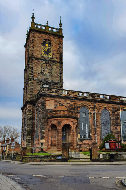
St Alkmund's Church, Whitchurch
St Alkmund's Church is an active Anglican parish church in Whitchurch, Shropshire, England. By tradition, this church was founded in the 900s CE by the...

Whitchurch, Shropshire
Whitchurch is a market town in the civil parish of Whitchurch Urban, in the north of Shropshire, England. It lies 2 miles (3 km) east of the Welsh border...
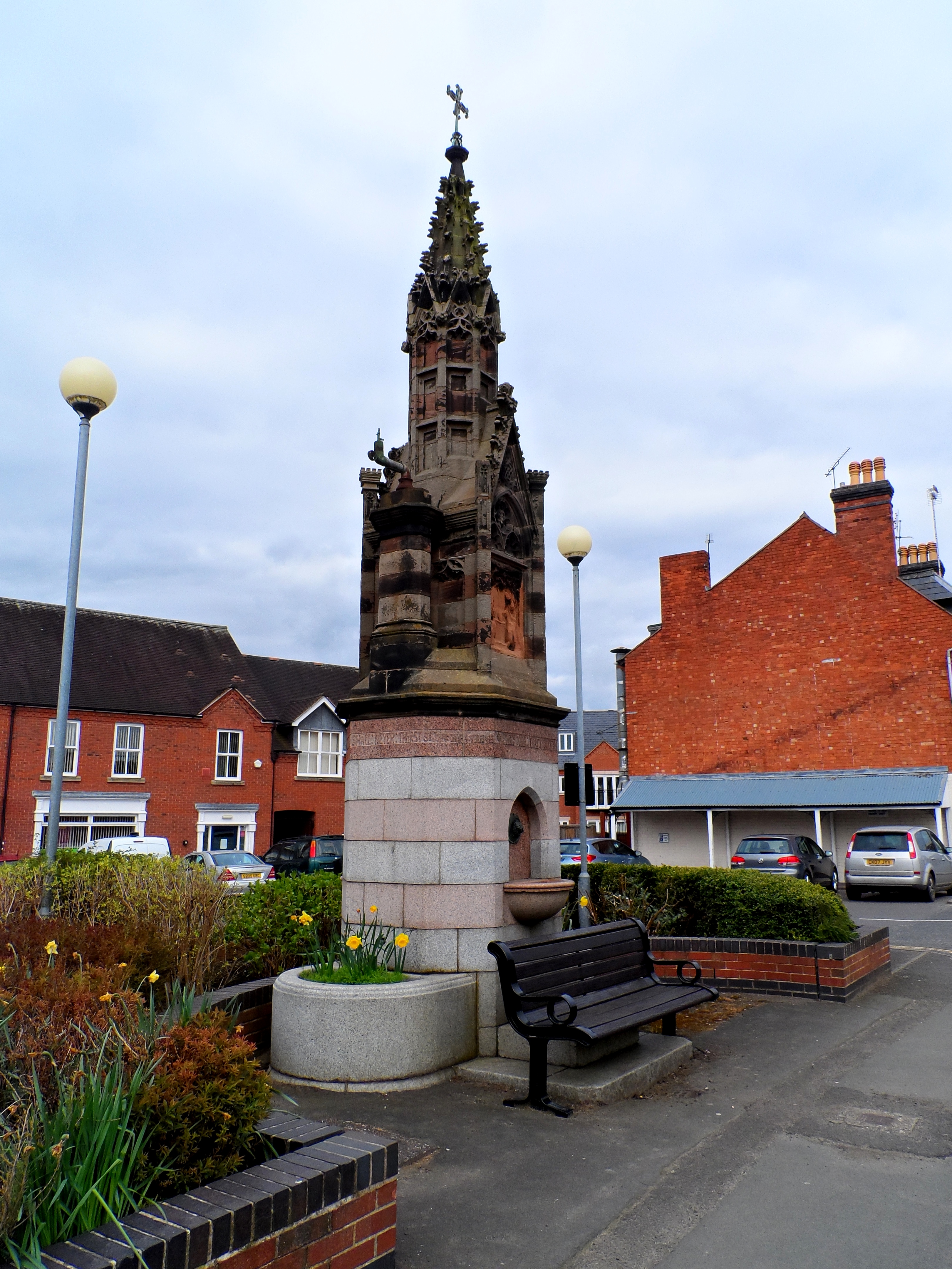
Churton Memorial Fountain
The Churton Memorial Fountain stands on the west side of Brownlow Street, Whitchurch, Shropshire, England. It is recorded in the National Heritage List...

Mediolanum (Whitchurch)
Mediolanum was a fort and small town in the Roman province of Britannia. Today it is known as Whitchurch, located in the English county of Shropshire....
Nearby Amenities
Located within 500m of 52.973315,-2.683254Have you been to Whitchurch Urban?
Leave your review of Whitchurch Urban below (or comments, questions and feedback).