Westward

Civil Parish in Cumberland Allerdale

England

Westward

Edge of field at Clea Hall Farm Edge of field at Clea Hall Farm.
Edge of field at Clea Hall Farm Credit: Colin Kinnear

Westward is a civil parish located in the district of Allerdale, in the county of Cumbria, England. It covers an area of approximately 8.5 square kilometers and is situated about 4 miles northwest of the town of Wigton.

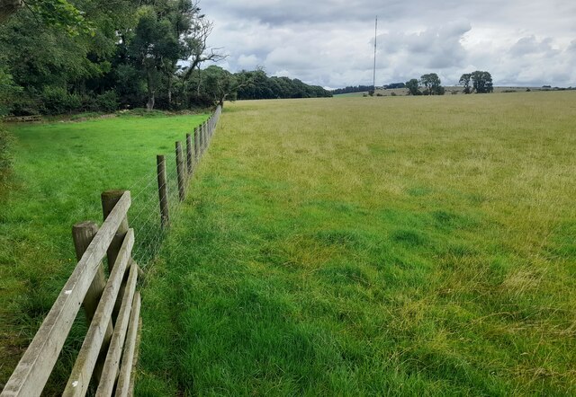
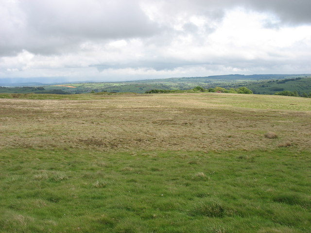
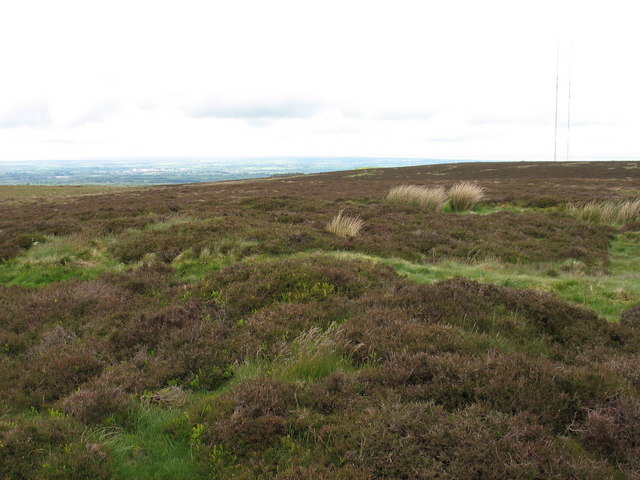
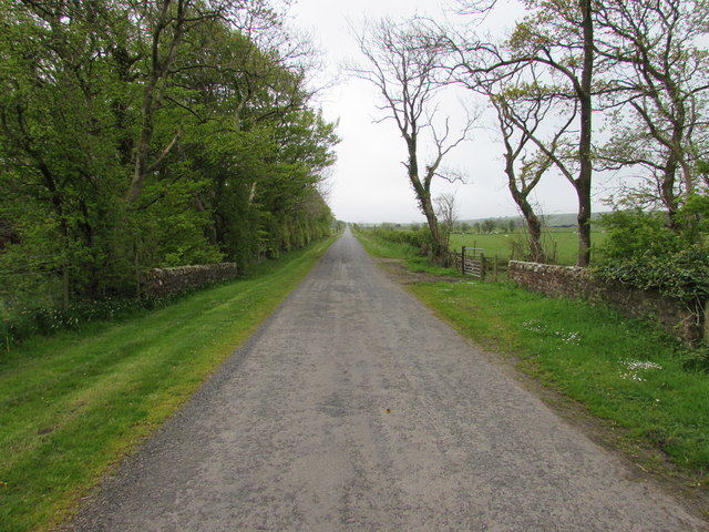
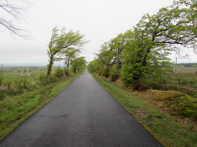
The parish of Westward is predominantly rural, characterized by rolling countryside and farmland. It is bordered by the Parishes of Bromfield, Kirkbampton, and Oulton. The landscape is dotted with several small hamlets, including Westward, West Newton, and Moatlands.

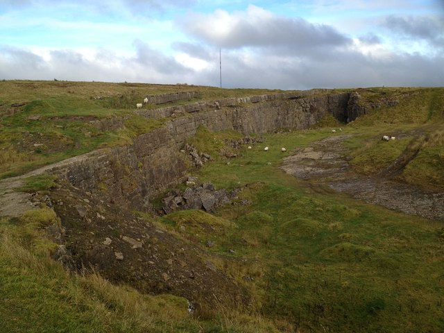
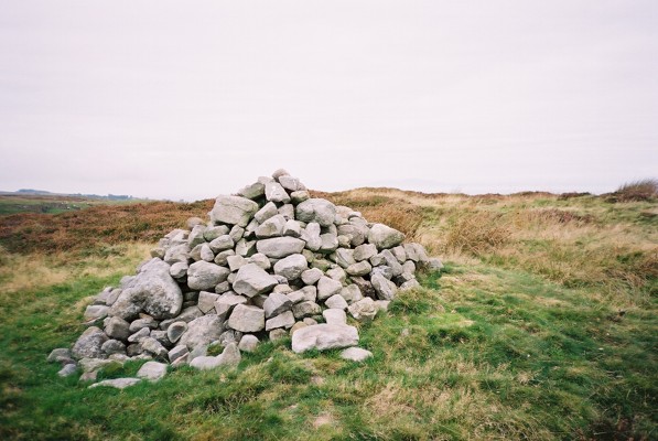
The area has a rich history, with evidence of human habitation dating back to the Bronze Age. There are also remnants of Roman occupation, with the nearby Hadrian's Wall being a notable example. The parish has several historic landmarks and buildings, including the Grade II listed Westward Old Church, which dates back to the 12th century.

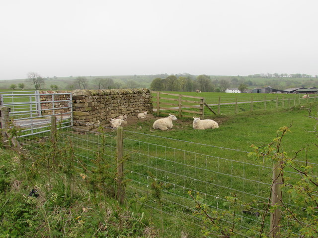
Agriculture plays a significant role in the local economy, with many farms in the area specializing in livestock farming, particularly sheep and cattle. The rural landscape also provides opportunities for outdoor recreational activities such as walking, cycling, and horse riding.

Westward is well-connected to neighboring towns and cities, with the A596 road passing through the parish, providing easy access to Wigton and Carlisle. Public transportation is limited, with bus services operating on a less frequent basis.

Overall, Westward offers a picturesque and peaceful countryside setting, with a close-knit community and a strong connection to its historical roots.

If you have any feedback on the listing, please let us know in the comments section below.
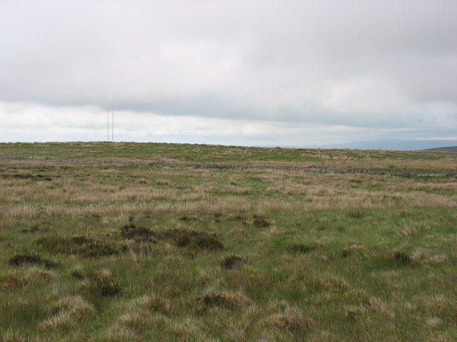
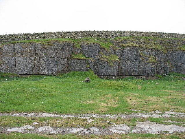
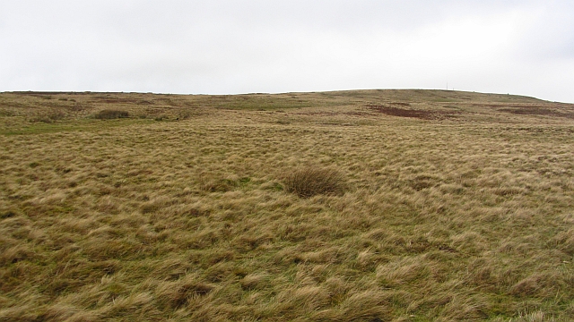
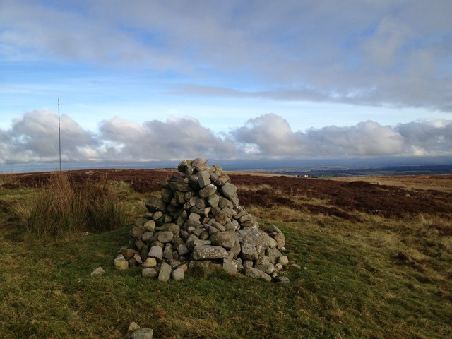
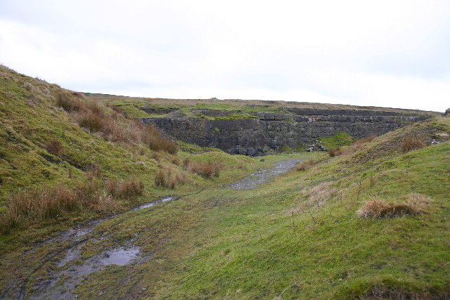
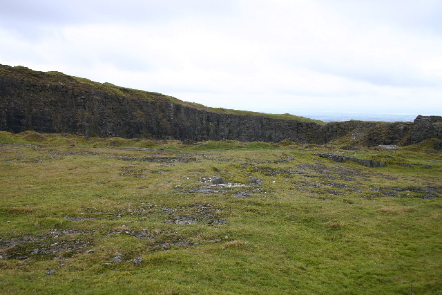
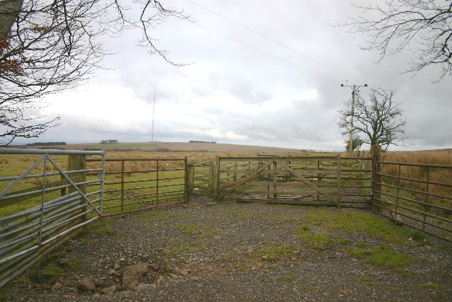
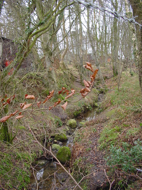
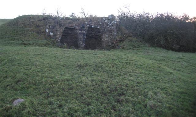
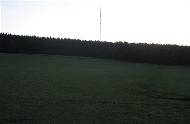
Westward Images

Images are sourced within 2km of 54.757543/-3.110918 or Grid Reference NY2840. Thanks to Geograph Open Source API. All images are credited.

Edge of field at Clea Hall Farm Edge of field at Clea Hall Farm.
Edge of field at Clea Hall Farm
Edge of field at Clea Hall Farm.
South-east slopes of Faulds Brow
Remains of Limestone Quarry on Fauld's Brow
Faulds Brow Looking north from the summit of this, the most northerly fell in the Lake District National Park.
Faulds Brow
Looking north from the summit of this, the most northerly fell in the Lake District National Park.
The north-east slopes of Sandale Hill
Disused quarry east of Sandale Hill There is a substantial and well-built stone wall to prevent cattle in the field beyond from falling into the quarry.
Disused quarry east of Sandale Hill
There is a substantial and well-built stone wall to prevent cattle in the field beyond from falling into the quarry.
Fauld's Brow Grassy moorland to the north of the Caldbeck Fells. The last high ground before the plain south of the Solway.
Fauld's Brow
Grassy moorland to the north of the Caldbeck Fells. The last high ground before the plain south of the Solway.
Cairn on Fauld's Brow; Calbeck Mast Visible in Distance
Road over Cowgill Bridge From Keeper's Cottage on the edge of Fauld's Brow this road runs dead straight for over a mile to Cowgill.
Road over Cowgill Bridge
From Keeper's Cottage on the edge of Fauld's Brow this road runs dead straight for over a mile to Cowgill.
Sheep near Cleamire On a rather grey day these sheep & lambs have taken shelter from the rain by sitting close to this short section of wall on the drive to Cleamire Farm.
Sheep near Cleamire
On a rather grey day these sheep & lambs have taken shelter from the rain by sitting close to this short section of wall on the drive to Cleamire Farm.
Windswept Trees on a moorland lane
Faulds Brow The northernmost hill of the Lake District National Park
Faulds Brow
The northernmost hill of the Lake District National Park
Disused Quarry Limestone, on Faulds Brow
Disused Quarry
Limestone, on Faulds Brow
Disused Limestone Quarry
Sheepfold
Sheepfold
Cowgill Beck A very small beck near the caravan site.
Cowgill Beck
A very small beck near the caravan site.
Limekilns at the old quarries. Well preserved examples of these old structures can rarely be found now as farmers have tended to remove them as dangerous and unstable but these are fine examples.
Limekilns at the old quarries.
Well preserved examples of these old structures can rarely be found now as farmers have tended to remove them as dangerous and unstable but these are fine examples.
Sandale transmitter past Park Wood. Farmland is a bit wet and cold on this north facing slope and needs the summer sun to warm up and grow a crop again but the trees are doing fine.
Sandale transmitter past Park Wood.
Farmland is a bit wet and cold on this north facing slope and needs the summer sun to warm up and grow a crop again but the trees are doing fine.
Show me another place!

Westward is located at Grid Ref: NY2840 (Lat: 54.757543, Lng: -3.110918)

Administrative County: Cumbria

District: Allerdale

Police Authority: Cumbria

What 3 Words

///deliver.rewriting.trim. Near Wigton, Cumbria

Nearby Locations

Westward

Related Wikis

Faulds Brow

Faulds Brow is a small rise in the English Lake District, northwest of the village of Caldbeck in Cumbria. It is the subject of a chapter of Wainwright...

Sandale transmitting station

The Sandale transmitting station is the main radio transmitting station for the county of Cumbria, including the Lake District, and eastern Dumfries and...

Caldbeck transmitting station

The Caldbeck transmitting station is a broadcasting and telecommunications facility, situated close to the village of Caldbeck, in Cumbria, England (Grid...

Whelpo

Whelpo is a hamlet in the civil parish of Caldbeck, in the Cumberland unitary authority area, in the county of Cumbria, England. It is about one mile west...

Nearby Amenities

Located within 500m of 54.757543,-3.110918
Barrier: cattle_grid
Lat/Long: 54.7570672/-3.1145583
The data included in this document is from www.openstreetmap.org. The data is made available under ODbL.

Have you been to Westward?

Leave your review of Westward below (or comments, questions and feedback).