Washington

Civil Parish in Sussex Horsham

England

Washington

Pressure Reducing Station The Southern Water site beside the South Downs Way near Washington.
Pressure Reducing Station Credit: Chris Thomas-Atkin

Washington is a civil parish located in the county of Sussex, England. Situated approximately 57 miles south of London, the parish covers an area of about 18 square kilometers. It is part of the Horsham District and is bordered by the civil parishes of Ashington, Storrington with Sullington, and Findon.

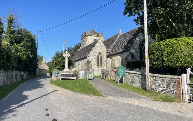
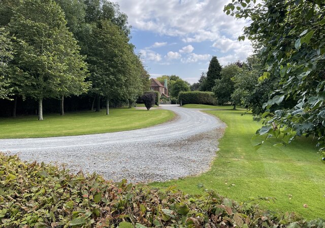
The village of Washington, after which the parish is named, is a picturesque settlement with a rich history dating back to the medieval times. It is known for its charming traditional houses, many of which are made from the local sandstone. The village center features a 12th-century church, St. Mary's Church, which is a prominent landmark and a testament to the area's historical significance.

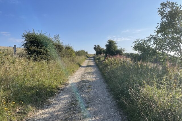
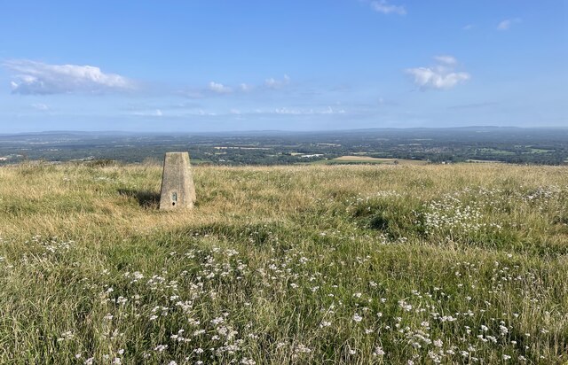
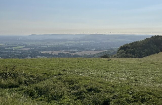
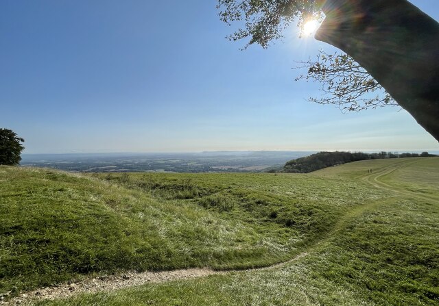
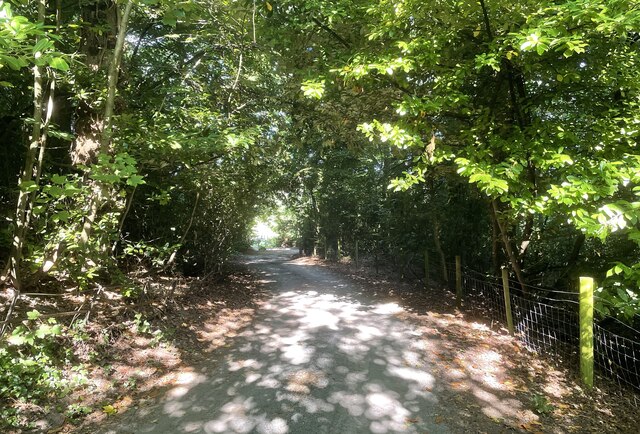
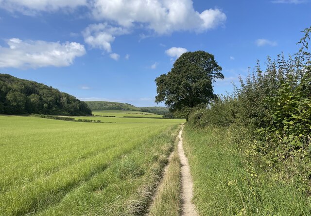
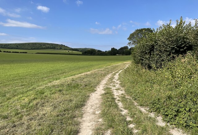
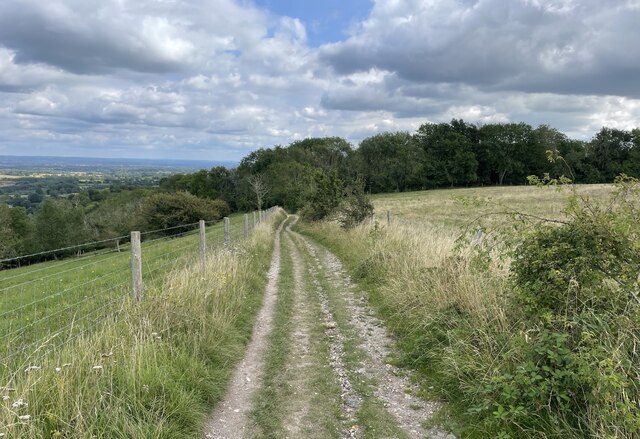
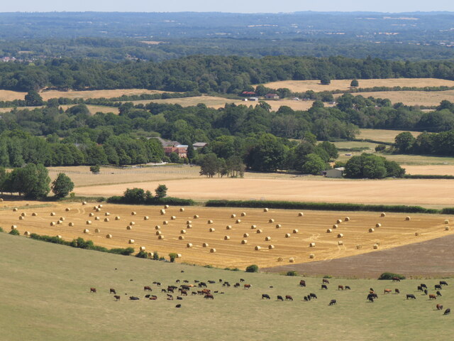
The parish is primarily rural and consists of a mix of farmland, woodland, and open countryside. It offers a peaceful and idyllic setting, making it a desirable location for those seeking a quiet retreat from the bustling city life.

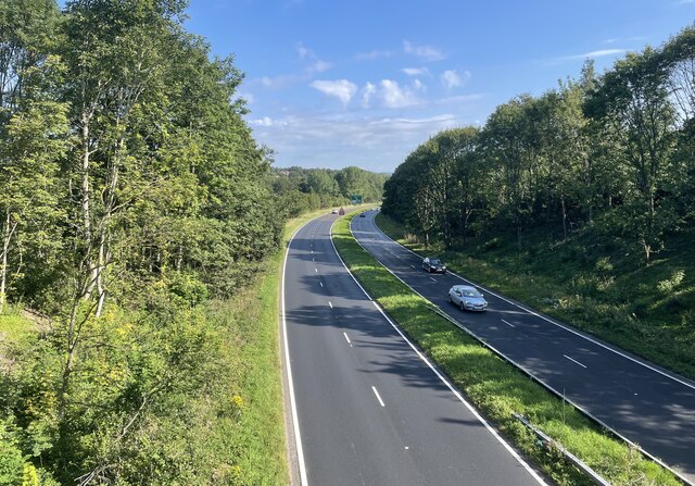
Despite its tranquil surroundings, Washington is well-connected to nearby towns and cities. The A24 road runs along the eastern boundary of the parish, providing easy access to Horsham and Worthing. Additionally, the village is served by regular bus services, ensuring convenient transportation links for residents and visitors alike.

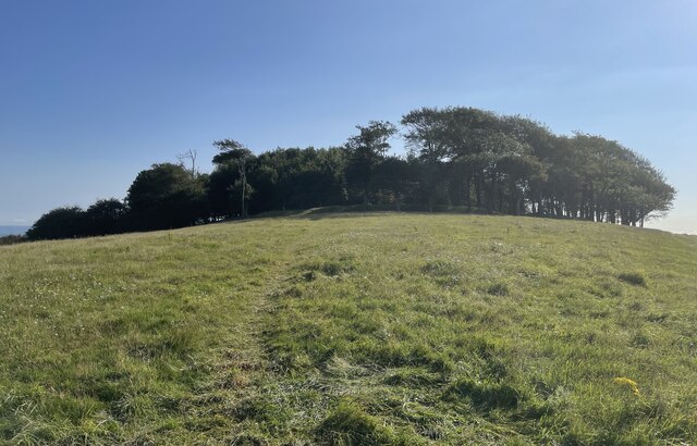
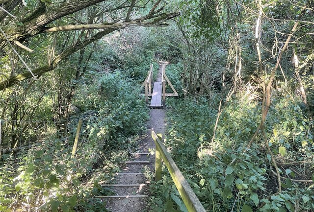
The parish boasts several recreational opportunities, including scenic walking trails, cycling routes, and nature reserves. The nearby South Downs National Park offers stunning landscapes for outdoor enthusiasts to explore.

In terms of amenities, Washington has a few local businesses, including a village shop, a pub, and a primary school. However, residents can access a wider range of amenities and services in nearby towns such as Horsham and Worthing.

Overall, Washington, Sussex, is a charming and peaceful civil parish that offers a rural lifestyle while remaining well-connected to nearby urban centers.

If you have any feedback on the listing, please let us know in the comments section below.
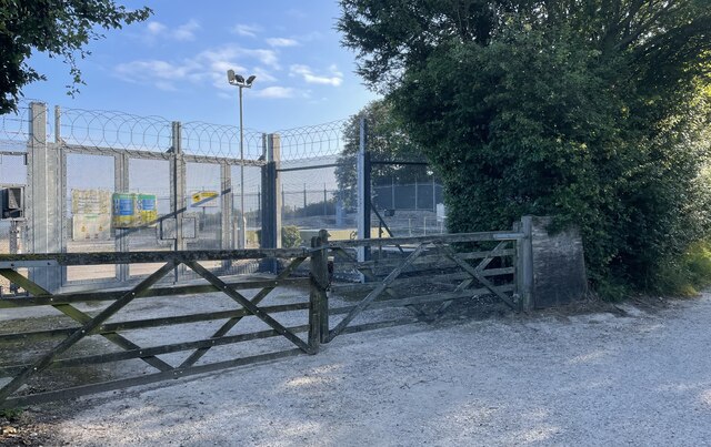
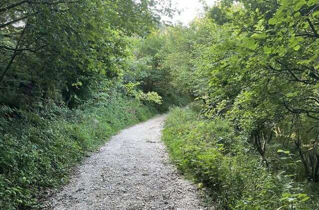
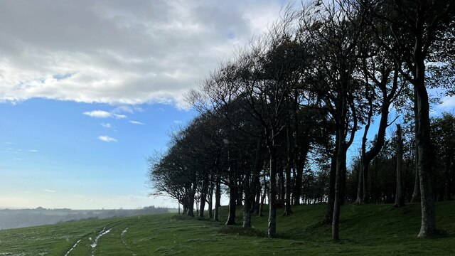
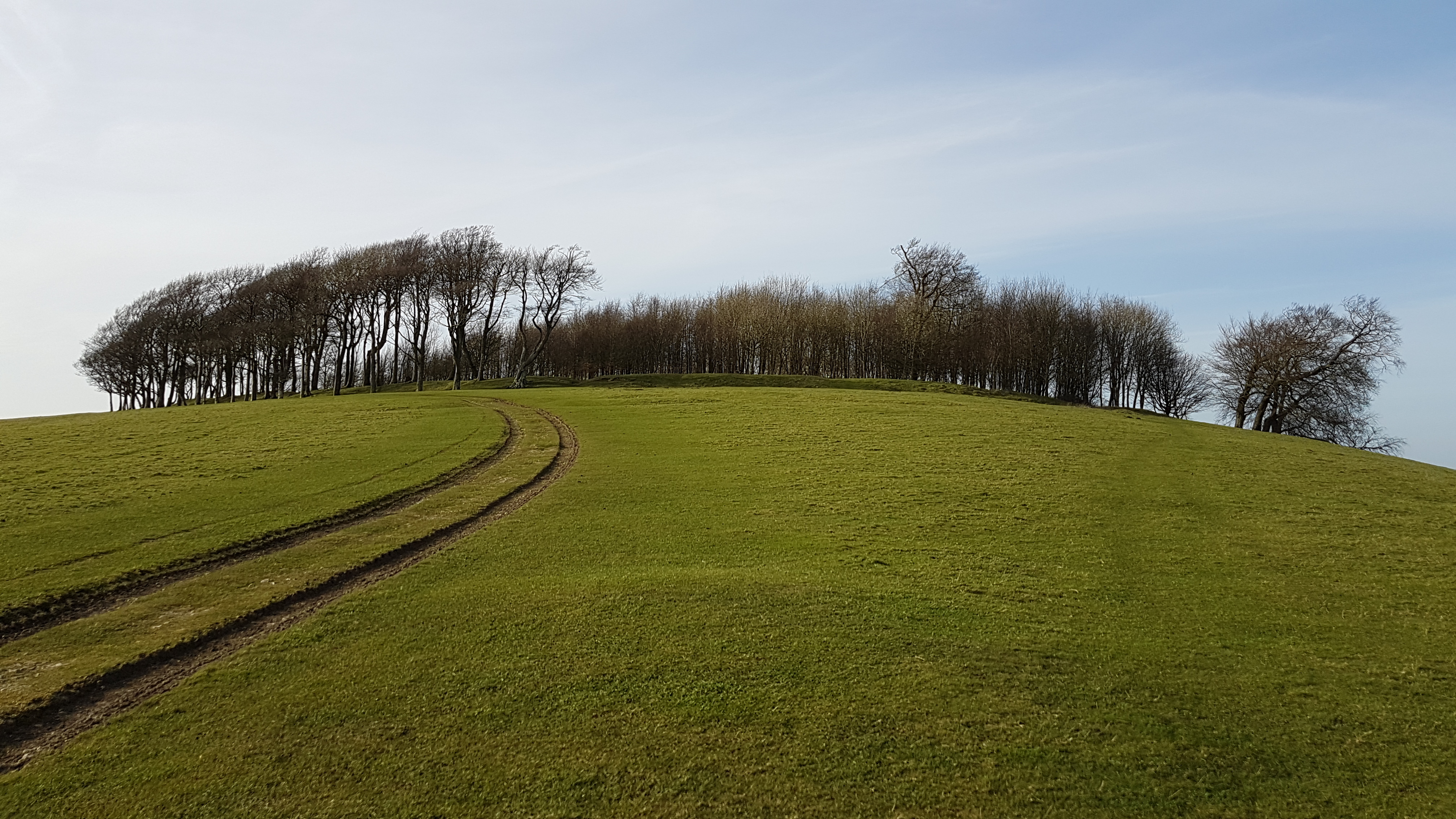
Washington Images

Images are sourced within 2km of 50.899542/-0.406278 or Grid Reference TQ1212. Thanks to Geograph Open Source API. All images are credited.

Pressure Reducing Station The Southern Water site beside the South Downs Way near Washington.
Pressure Reducing Station
The Southern Water site beside the South Downs Way near Washington.
South Downs Way Climbing towards Chanctonbury Ring on the South Downs Way.
South Downs Way
Climbing towards Chanctonbury Ring on the South Downs Way.
South Downs Way On the South Downs Way near Chanctonbury Hill.
South Downs Way
On the South Downs Way near Chanctonbury Hill.
Trig Point on Chanctonbury Hill The South Downs at this point provides extensive views across the Low Weald towards the distant North Downs and the Surrey Hills. The trig point marks a height of 238 metres above sea level.
Trig Point on Chanctonbury Hill
The South Downs at this point provides extensive views across the Low Weald towards the distant North Downs and the Surrey Hills. The trig point marks a height of 238 metres above sea level.
Approaching Chanctonbury Ring The site is a Scheduled Monument. It was used as a hill fort dating from the early Iron Age and was reused later on during the Roman period as a temple precinct. For more details see <span class="nowrap"><a title="https://historicengland.org.uk/listing/the-list/list-entry/1015114" rel="nofollow ugc noopener" href="https://historicengland.org.uk/listing/the-list/list-entry/1015114">Link</a><img style="margin-left:2px;" alt="External link" title="External link - shift click to open in new window" src="https://s1.geograph.org.uk/img/external.png" width="10" height="10"/></span>
Approaching Chanctonbury Ring
The site is a Scheduled Monument. It was used as a hill fort dating from the early Iron Age and was reused later on during the Roman period as a temple precinct. For more details see LinkExternal link
The view eastwards at Chanctonbury Ring Looking eastwards the South Downs dominate the skyline.
The view eastwards at Chanctonbury Ring
Looking eastwards the South Downs dominate the skyline.
Chanctonbury Ring The defensive remains of the Iron Age hill fort can be clearly seen.
Chanctonbury Ring
The defensive remains of the Iron Age hill fort can be clearly seen.
Footbridge near Washington Crossing a small unnamed stream public footpath number 2089_2 shortly meets Washington Bostal.
Footbridge near Washington
Crossing a small unnamed stream public footpath number 2089_2 shortly meets Washington Bostal.
The Parish Church of St Mary The church is a Grade II* (star) listed building. See <span class="nowrap"><a title="https://historicengland.org.uk/listing/the-list/list-entry/1027198" rel="nofollow ugc noopener" href="https://historicengland.org.uk/listing/the-list/list-entry/1027198">Link</a><img style="margin-left:2px;" alt="External link" title="External link - shift click to open in new window" src="https://s1.geograph.org.uk/img/external.png" width="10" height="10"/></span>
The Parish Church of St Mary
The church is a Grade II* (star) listed building. See LinkExternal link
The A24 Crossing the A24 on the bridge carrying public footpath number 2697.
The A24
Crossing the A24 on the bridge carrying public footpath number 2697.
Path near Rowdell The path descending from Rowdell is public footpath number 2697.
Path near Rowdell
The path descending from Rowdell is public footpath number 2697.
Path below the South Downs Heading west on path number 2665 towards Sullington.
Path below the South Downs
Heading west on path number 2665 towards Sullington.
Fields near Barns Farm Heading west towards Sullington on path number 2665.
Fields near Barns Farm
Heading west towards Sullington on path number 2665.
Barns Farm Barns Farm viewed from the passing public footpath.
Barns Farm
Barns Farm viewed from the passing public footpath.
Highden Hill On the South Downs Way approaching Biggen Holt.
Highden Hill
On the South Downs Way approaching Biggen Holt.
Wheat field by the South Downs Way At least, I assume this is wheat.
Wheat field by the South Downs Way
At least, I assume this is wheat.
Harvest scene above Barns Farm View from bridleway climbing up from Sullington
Harvest scene above Barns Farm
View from bridleway climbing up from Sullington
Trees on the edge of Chanctonbury Ring The Great Storm of 1987 did a lot of damage to these trees and wrecked the cap-like shape of the clump. The Ring has recovered some of its former shape since then, however. This is a cross-grid shot. The camera was in the square to the south.
Trees on the edge of Chanctonbury Ring
The Great Storm of 1987 did a lot of damage to these trees and wrecked the cap-like shape of the clump. The Ring has recovered some of its former shape since then, however. This is a cross-grid shot. The camera was in the square to the south.
Show me another place!

Washington is located at Grid Ref: TQ1212 (Lat: 50.899542, Lng: -0.406278)

Administrative County: West Sussex

District: Horsham

Police Authority: Sussex

What 3 Words

///yacht.gold.raced. Near Washington, West Sussex

Nearby Locations

Washington Washington

Related Wikis

Washington, West Sussex

Washington is a village and civil parish in the Horsham District of West Sussex, England. It is located five miles (eight kilometres) west of Steyning...

Windlesham House School

Windlesham House School is an independent boarding and day school for boys and girls aged 4 to 13 on the South Downs, in Pulborough, West Sussex, England...

Rock Mill, Washington

Rock Mill is a Grade II listed smock mill at Washington, West Sussex, England, which has been converted to residential use. == History == Rock Mill was...

Chanctonbury Ring

Chanctonbury Ring is a prehistoric hill fort atop Chanctonbury Hill on the South Downs, on the border of the civil parishes of Washington and Wiston in...

Nearby Amenities

Located within 500m of 50.899542,-0.406278
Barrier: horse_stile
Lat/Long: 50.8965818/-0.4080629
Barrier: stile
Lat/Long: 50.9021115/-0.4065908
Drinking Water
Lat/Long: 50.896414/-0.4110784
Barrier: stile
Lat/Long: 50.9008359/-0.4058484
Bus Stop
Washington Bostal
Bus: yes
Naptan AtcoCode: 4400HR0465
Naptan Bearing: S
Naptan CommonName: Washington Bostal
Naptan Indicator: Bostal Quarry
Naptan Landmark: A24
Naptan NaptanCode: wsxawjwt
Naptan Street: Washington Bostal
Naptan Verified: no
Public Transport: platform
Source: naptan_import
Lat/Long: 50.8963982/-0.409426
Bus Stop
Stocks Mead
Bus: yes
Naptan AtcoCode: 4400HR1150
Naptan Bearing: S
Naptan CommonName: Stocks Mead
Naptan Indicator: opp
Naptan Landmark: Washington Bostal
Naptan NaptanCode: wsxgdwjp
Naptan Street: Washington Bostal
Naptan Verified: no
Public Transport: platform
Source: naptan_import
Lat/Long: 50.9020146/-0.4067768
Bus Stop
Stocks Mead
Bus: yes
Naptan AtcoCode: 4400HR1151
Naptan Bearing: N
Naptan CommonName: Stocks Mead
Naptan Indicator: adj
Naptan Landmark: Washington Bostal
Naptan NaptanCode: wsxgdwjt
Naptan Street: Washington Bostal
Naptan Verified: no
Public Transport: platform
Source: naptan_import
Lat/Long: 50.9023699/-0.4067784
Barrier: stile
Lat/Long: 50.9031757/-0.4043762
Post Box
Brand: Royal Mail
Brand Wikidata: Q638098
Operator: Royal Mail
Operator Wikidata: Q638098
Post Box Type: wall
Ref: RH20 80
Lat/Long: 50.9036031/-0.4074583
Barrier: stile
Lat/Long: 50.9035285/-0.4056828
Power: pole
Lat/Long: 50.9003662/-0.407273
Power: pole
Lat/Long: 50.9026461/-0.4019275
Power: pole
Lat/Long: 50.9023941/-0.4031524
Power: pole
Lat/Long: 50.9020786/-0.4047022
Power: pole
Lat/Long: 50.9016401/-0.4067621
Barrier: stile
Lat/Long: 50.902993/-0.4025865
The data included in this document is from www.openstreetmap.org. The data is made available under ODbL.

Have you been to Washington?

Leave your review of Washington below (or comments, questions and feedback).