Washingborough

Civil Parish in Lincolnshire North Kesteven

England

Washingborough

Brinkle Spring Lane near Washingborough Heading south-east to nowhere in particular.
Brinkle Spring Lane near Washingborough Credit: Stephen Richards

Washingborough is a civil parish located in the county of Lincolnshire, England. Situated approximately 5 miles east of the city of Lincoln, it is a small village with a population of around 4,000 residents.

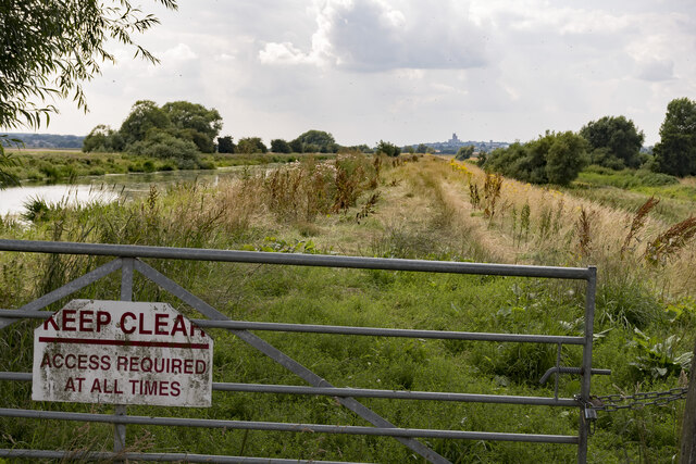
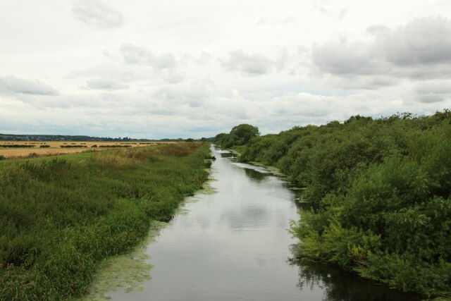
The village is known for its picturesque setting, nestled along the River Witham and surrounded by beautiful countryside. It offers a peaceful and idyllic environment, making it an attractive place to live for those seeking a rural lifestyle while still having easy access to urban amenities.

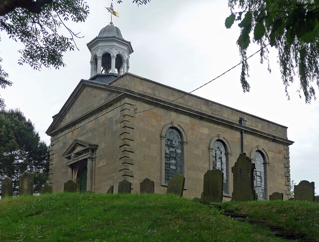
Washingborough has a rich history dating back to the Roman era, with evidence of Roman occupation and a Roman road passing through the area. The village has several historic buildings and landmarks, including the 12th-century St. John the Evangelist Church, which is a prominent feature of the local landscape.

In terms of amenities, Washingborough offers a range of facilities to cater to its residents. These include a primary school, a medical practice, a post office, a village hall, and a number of local shops and businesses. The village also has a range of recreational spaces, including a sports ground and a children's playground.

Transport links in Washingborough are relatively good, with regular bus services connecting the village to Lincoln and other nearby towns. Additionally, the village is conveniently located near major road networks, including the A15 and the A46, providing easy access to other parts of Lincolnshire and beyond.

Overall, Washingborough is a charming and friendly village that offers a peaceful and rural lifestyle, combined with convenient access to nearby urban amenities.

If you have any feedback on the listing, please let us know in the comments section below.

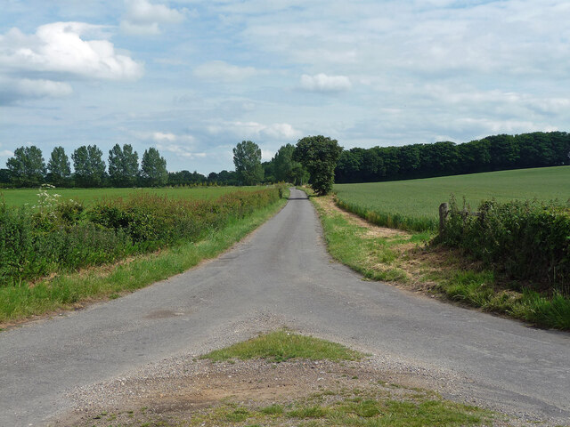
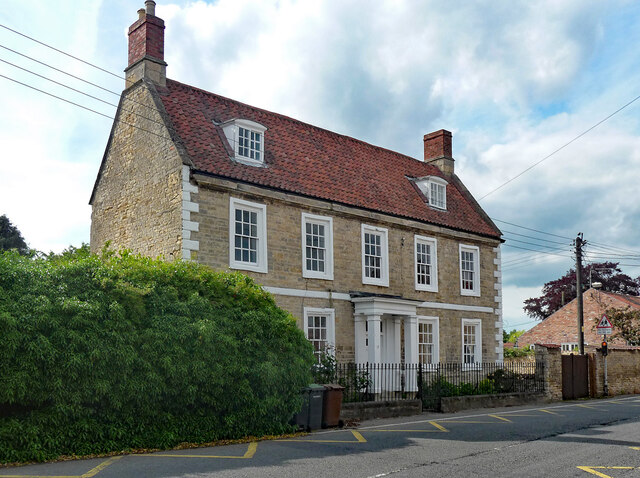
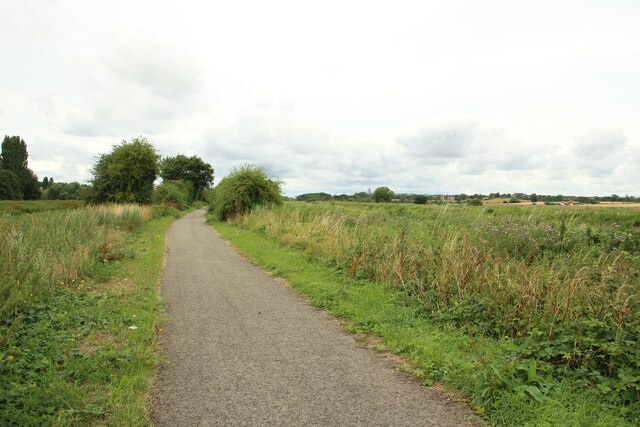
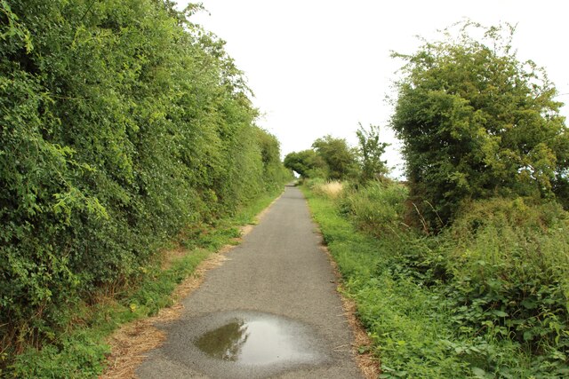
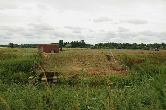
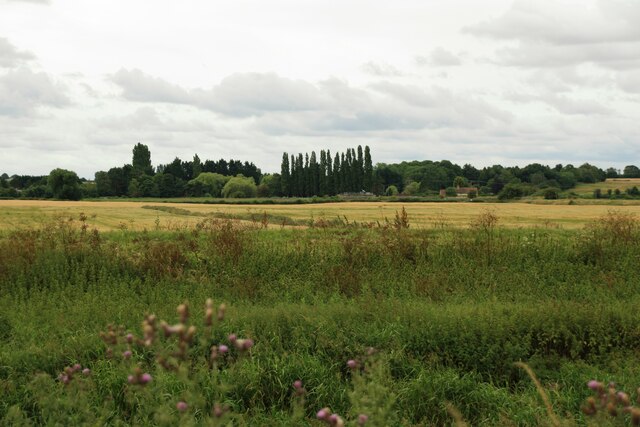
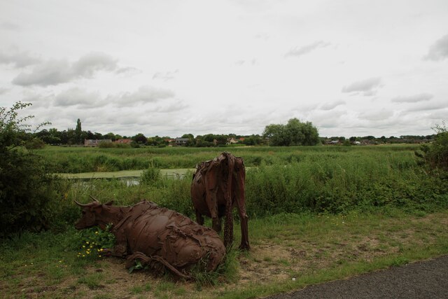
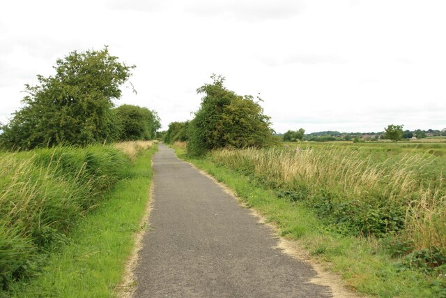
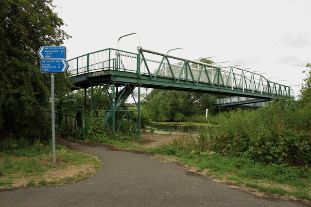
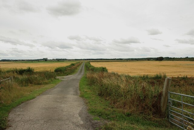
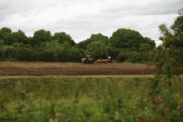
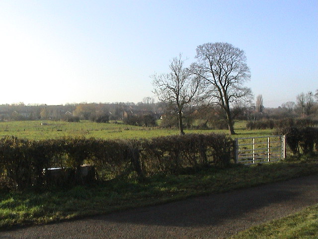
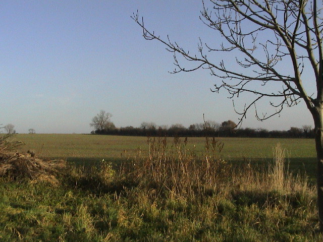
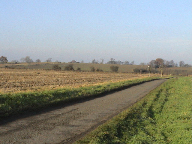
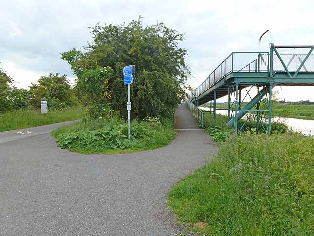
Washingborough Images

Images are sourced within 2km of 53.225148/-0.438889 or Grid Reference TF0470. Thanks to Geograph Open Source API. All images are credited.

Brinkle Spring Lane near Washingborough Heading south-east to nowhere in particular.
Brinkle Spring Lane near Washingborough
Heading south-east to nowhere in particular.
4 High Street, Heighington Attractive Georgian house in limestone rubble with a pantile roof. Grade II listed.
4 High Street, Heighington
Attractive Georgian house in limestone rubble with a pantile roof. Grade II listed.
Five Mile Bridge The footbridge over the River Witham was made by Tubewrights Ltd of Newport Monmouthshire.
Five Mile Bridge
The footbridge over the River Witham was made by Tubewrights Ltd of Newport Monmouthshire.
River Witham bank with Lincoln in the distance Access to the riverbank is to allow for river and drain clearance. The north Delph on the right is at a lower level than the river.
River Witham bank with Lincoln in the distance
Access to the riverbank is to allow for river and drain clearance. The north Delph on the right is at a lower level than the river.
St Peter and St Paul, Cherry Willingham "Built in 1753, and one of the most dignified Georgian churches in Lincolnshire". Grade I listed.
St Peter and St Paul, Cherry Willingham
"Built in 1753, and one of the most dignified Georgian churches in Lincolnshire". Grade I listed.
Path following the River Witham The paved route follows the River Witham to the east of Lincoln.
Path following the River Witham
The paved route follows the River Witham to the east of Lincoln.
National Cycle Network Route 1 The path, part of the Route 1 of the National Cycle Network, follows the River Witham to the east of Lincoln.
National Cycle Network Route 1
The path, part of the Route 1 of the National Cycle Network, follows the River Witham to the east of Lincoln.
Pumping station beside South Delph A water pumping station on the south side of South Delph.
Pumping station beside South Delph
A water pumping station on the south side of South Delph.
Farmland beside the River Witham Flat fields on the north side of the River Witham. Barley is growing in the fields.
Farmland beside the River Witham
Flat fields on the north side of the River Witham. Barley is growing in the fields.
Cows beside the Water Rail Way A pair of large metal sculptures in the shape of cows situated beside the path of the Water Rail Way. The houses of Fiskerton are in the background.
Cows beside the Water Rail Way
A pair of large metal sculptures in the shape of cows situated beside the path of the Water Rail Way. The houses of Fiskerton are in the background.
The Water Rail Way The path between Lincoln and Bardney closely follows the River Witham, and is named after a former railway.
The Water Rail Way
The path between Lincoln and Bardney closely follows the River Witham, and is named after a former railway.
Bridge crossing the River Witham A footbridge crossing the River Witham at Fiskerton.
Bridge crossing the River Witham
A footbridge crossing the River Witham at Fiskerton.
South Delph A wide drainage channel running parallel to the River Witham.
South Delph
A wide drainage channel running parallel to the River Witham.
Five Mile Lane A narrow lane between arable fields.
Five Mile Lane
A narrow lane between arable fields.
Cultivated arable field An arable field being cultivated beside the River Witham following the harvest of a cereal crop.
Cultivated arable field
An arable field being cultivated beside the River Witham following the harvest of a cereal crop.
Heighington Looking SSW across pasture land to the village from Sandy Furze Farm.
Heighington
Looking SSW across pasture land to the village from Sandy Furze Farm.
Heighington Looking NNE over arable land from Sandy Furze Farm.
Heighington
Looking NNE over arable land from Sandy Furze Farm.
Brinkle Spring Lane Looking NW. The signpost marks the footpath.
Brinkle Spring Lane
Looking NW. The signpost marks the footpath.
Show me another place!

Washingborough is located at Grid Ref: TF0470 (Lat: 53.225148, Lng: -0.438889)

Administrative County: Lincolnshire

District: North Kesteven

Police Authority: Lincolnshire

What 3 Words

///hint.albatross.slightly. Near Reepham, Lincolnshire

Nearby Locations

Washingborough

Related Wikis

Fiskerton, Lincolnshire

Fiskerton is a village and civil parish in the West Lindsey district of Lincolnshire, England. The population of the civil parish at the 2011 census was...

Five Mile House railway station

Five Mile House was a railway station on the Lincolnshire Loop Line which served the village of Fiskerton in Lincolnshire between 1848 and 1964. Situated...

Heighington, Lincolnshire

Heighington ( HAY-ing-tən) is a village and civil parish in the North Kesteven district of Lincolnshire, England. It is situated about 4 miles (6 km) south...

Cherry Willingham

Cherry Willingham is a large village and civil parish in the West Lindsey district of Lincolnshire, England. The population at the 2011 census was 3,506...

Nearby Amenities

Located within 500m of 53.225148,-0.438889
Common Square
Place: locality
Source: Bing
Lat/Long: 53.2213862/-0.4349559
Glebe Farm
Place: farm
Source: Bing
Lat/Long: 53.2214524/-0.4428778
Fixme: Add name
Place: farm
Source: Bing
Lat/Long: 53.2214049/-0.4405651
The data included in this document is from www.openstreetmap.org. The data is made available under ODbL.

Have you been to Washingborough?

Leave your review of Washingborough below (or comments, questions and feedback).