Ketteringham

Civil Parish in Norfolk South Norfolk

England

Ketteringham

St Remigius Church, Hethersett
St Remigius Church, Hethersett Credit: Helen Steed

Ketteringham is a civil parish located in the county of Norfolk, England. Situated approximately 7 miles south-west of the city of Norwich, Ketteringham covers an area of around 7.9 square kilometers. The parish is bordered by the villages of Wymondham, Cringleford, and Hethersett.

Ketteringham is a picturesque rural area characterized by its rolling hills, farmland, and woodlands. The landscape is dotted with traditional Norfolk cottages, farmhouses, and barns, reflecting the area's agricultural heritage. The parish is predominantly residential, with a small population of around 150 residents.

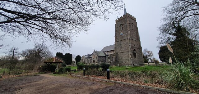
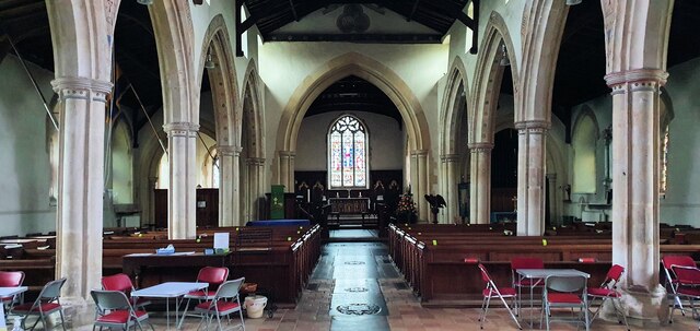
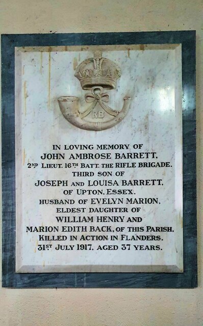
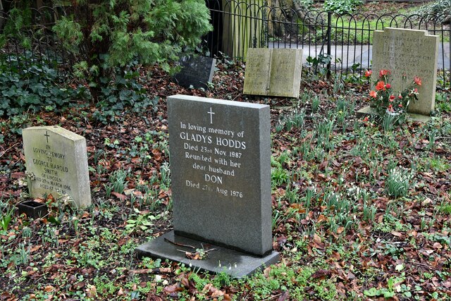
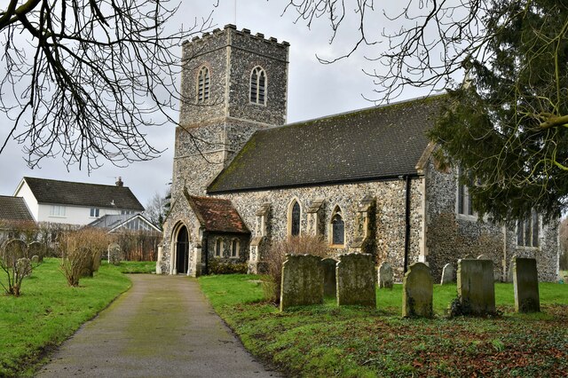
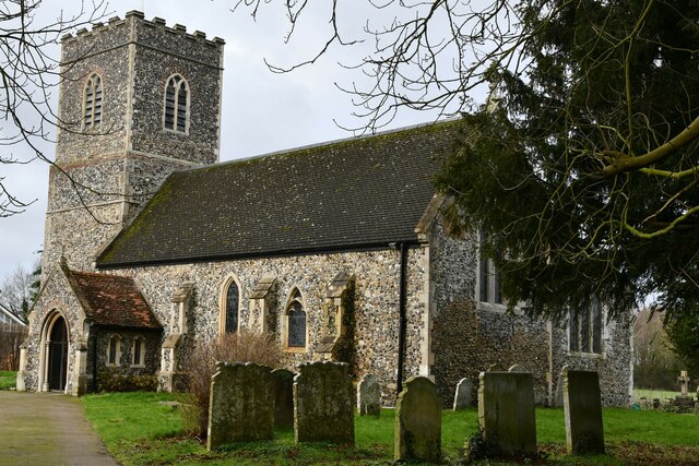
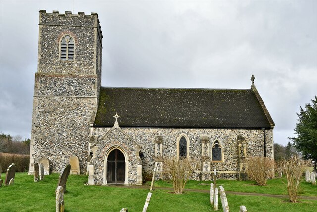
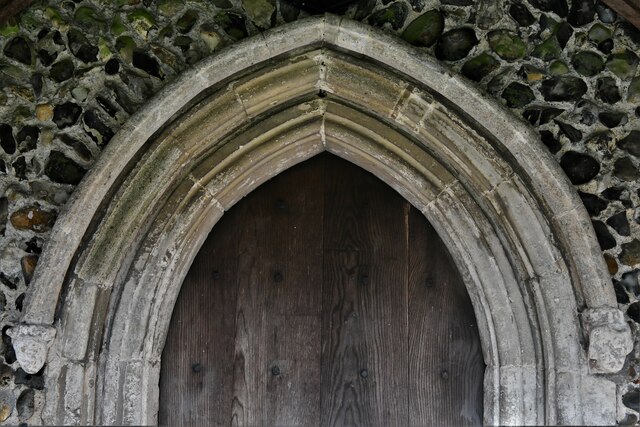
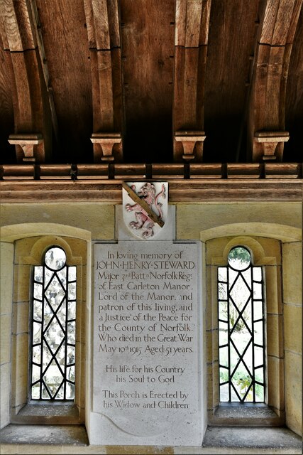
The heart of Ketteringham is the All Saints Church, a Grade II listed building that dates back to the 14th century. The church is known for its impressive architecture and beautiful stained glass windows. The village also boasts a community center, which serves as a hub for various social and recreational activities.

Despite its small size, Ketteringham offers a range of amenities and services for its residents. These include a primary school, a village hall, and a local pub. The nearby city of Norwich provides additional amenities, including shopping centers, hospitals, and educational facilities.

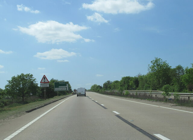
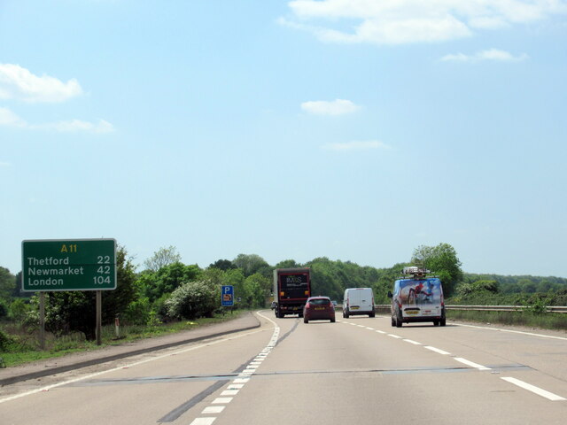
Ketteringham is well-connected to the surrounding areas by road, with the A11 and A47 major highways located nearby. The parish also benefits from regular bus services, allowing residents to easily access Norwich and other neighboring towns.

Overall, Ketteringham is a peaceful and scenic parish that offers a tranquil rural lifestyle within close proximity to urban amenities. It is an ideal location for those seeking a blend of countryside living and convenient access to nearby urban centers.

If you have any feedback on the listing, please let us know in the comments section below.
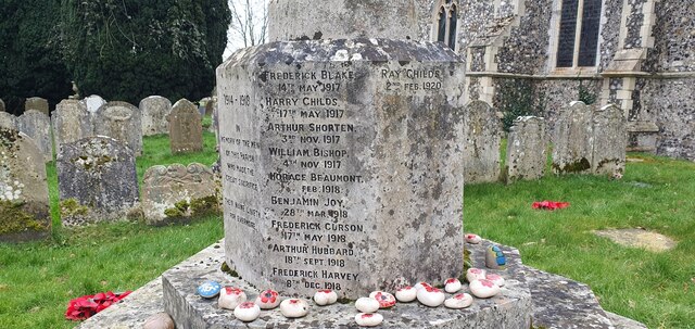
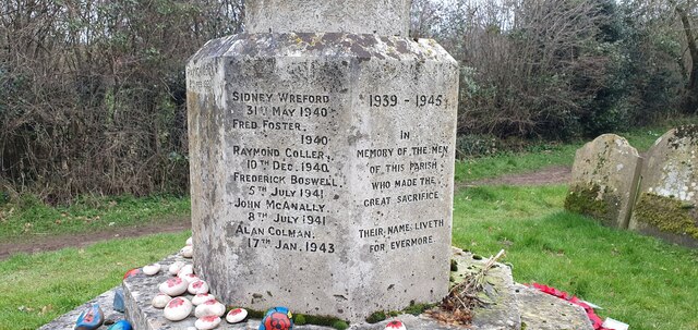
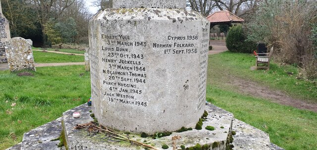
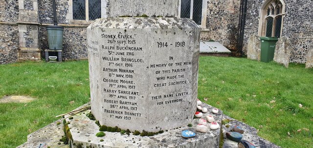
Ketteringham Images

Images are sourced within 2km of 52.581874/1.19276 or Grid Reference TG1603. Thanks to Geograph Open Source API. All images are credited.

St Remigius Church, Hethersett
Interior of St Remigius Church, Hethersett
War memorial in the grounds of St Remigius Church, Hethersett
Names on the Hethersett war memorial - 1
Names on the Hethersett war memorial - 2
Names on the Hethersett war memorial - 3
Names on the Hethersett war memorial - 4
Names on the Hethersett war memorial - 5
War memorial inside St Remigius Church, Hethersett
The A11 west approaching junction for Ketteringham
The A11 west . 22 miles to Thetford
East Carleton, St. Mary's Church: Snowdrops appearing in a small corner of the churchyard
East Carleton, St. Mary's Church: South eastern aspect
East Carleton, St. Mary's Church: Southern aspect
East Carleton, St. Mary's Church: Southern doorway detail
East Carleton, St. Mary's Church: Major Steward memorial, east wall of the south porch 1
Show me another place!

Ketteringham is located at Grid Ref: TG1603 (Lat: 52.581874, Lng: 1.19276)

Administrative County: Norfolk

District: South Norfolk

Police Authority: Norfolk

What 3 Words

///hoops.welfare.twice. Near Hethersett, Norfolk

Related Wikis

Ketteringham

Ketteringham is a village and civil parish in the English county of Norfolk. The parish covers an area of 6.50 km2 (2.51 sq mi) and had a population of...

Hethersett railway station

Hethersett was a railway station near Hethersett, Norfolk. == History == The Bill for the Norwich & Brandon Railway (N&BR) received Royal Assent on 10...

Forehoe and Henstead Rural District

Forehoe and Henstead Rural Districts were adjacent rural districts in Norfolk, England from 1894 to 1935.They were formed under the Local Government Act...

East Carleton

East Carleton is a village and civil parish in the English county of Norfolk. The village is located 6.3 kilometres (3.9 mi) east of nearby Wymondham and...

Nearby Amenities

Located within 500m of 52.581874,1.19276
Ketteringham
Place: village
Lat/Long: 52.5839645/1.1871456
Fixme: check precise location on ground
Note: Observed from train, found possible position on Bing.
Pipeline: marker
Substance: oil
Lat/Long: 52.5856408/1.1956138
Traffic Calming: bump
Lat/Long: 52.57822/1.1914725
Traffic Calming: bump
Lat/Long: 52.57825/1.191964
Post Box
Collection Times: Mo-Fr 16:00; Sa 10:30
Post Box Mounting: wooden_post
Post Box Type: lamp
Ref: NR18 1851
Royal Cypher: EIIR
Royal Cypher Wikidata: Q33102113
Lat/Long: 52.5849428/1.1899652
Phone: +44 1603 810687
Removed Amenity: telephone
Lat/Long: 52.5849292/1.1899644
Ketteringham
Inscription: WI / 1979
Man Made: village_sign
Material: wood
Start Date: 1979
Lat/Long: 52.584354/1.1869527
War Memorial
Description: Large stone cross on pedestal set in grass small grass square by the side of the road.
Historic: memorial
Inscription: To the Glory of God and a Memorial of the Part Taken by Ketteringham in the Great War 191 - 1919. (These are the dates engraved 191 - 1919)
Lat/Long: 52.5849953/1.1895537
Bench
Backrest: yes
Colour: brown
Material: wood
Seats: 3
Lat/Long: 52.5843821/1.1870093
Waste Basket
Lat/Long: 52.5844062/1.1870575
Location Transition: yes
Power: pole
Lat/Long: 52.5800616/1.1929157
Location Transition: yes
Power: pole
Lat/Long: 52.5801692/1.1928675
Power: pole
Lat/Long: 52.5802311/1.1935353
Location Transition: yes
Power: pole
Transformer: distribution
Lat/Long: 52.5804169/1.1941683
Power: pole
Lat/Long: 52.581119/1.1924042
Power: pole
Lat/Long: 52.5820912/1.1919308
Location Transition: yes
Power: pole
Lat/Long: 52.5830234/1.1914654
Location Transition: yes
Power: pole
Lat/Long: 52.5830414/1.1914775
Power: pole
Lat/Long: 52.58323/1.1927938
Power: pole
Lat/Long: 52.5834239/1.1941
Power: pole
Lat/Long: 52.5836203/1.1953862
Power: pole
Lat/Long: 52.5845134/1.1953003
Location Transition: yes
Power: pole
Lat/Long: 52.5853592/1.1952051
Historic: monument
Note: I don't know what this is, large 2.5m high carved stone monument
Lat/Long: 52.5780447/1.1927871
Bench
Backrest: yes
Material: wood
Seats: 2
Lat/Long: 52.5778335/1.1919647
Bench
Backrest: yes
Material: wood
Seats: 2
Lat/Long: 52.5777695/1.1921116
Entrance: main
Lat/Long: 52.5778611/1.1919957
Power: pole
Lat/Long: 52.5836941/1.1861895
Power: pole
Lat/Long: 52.5839972/1.187607
Power: pole
Lat/Long: 52.5836663/1.1902678
Power: pole
Lat/Long: 52.5842987/1.1891037
Waste Basket
Lat/Long: 52.5844779/1.1873871
Give Way
Lat/Long: 52.5844062/1.1867836
The data included in this document is from www.openstreetmap.org. The data is made available under ODbL.

Have you been to Ketteringham?

Leave your review of Ketteringham below (or comments, questions and feedback).