Juniper Plantation
Wood, Forest in Norfolk South Norfolk
England
Juniper Plantation
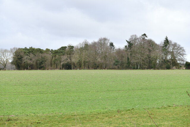
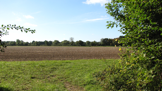
Juniper Plantation is a picturesque woodland located in Norfolk, England. Situated in the heart of the county, this expansive estate covers an area of approximately 500 acres, making it a haven for nature lovers and outdoor enthusiasts alike.
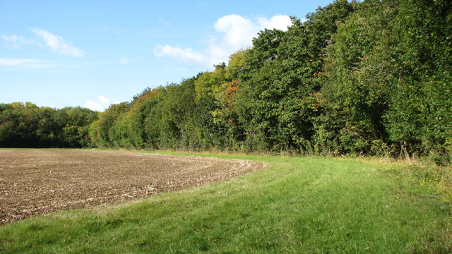
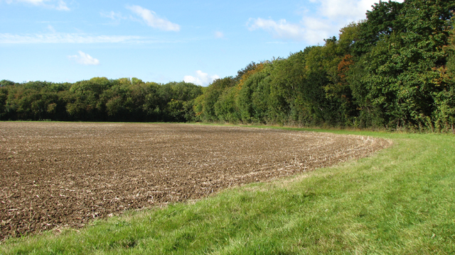
The plantation is primarily composed of dense juniper forests, giving it its distinctive name. The juniper trees, with their evergreen foliage, create a stunning backdrop and provide a habitat for a diverse range of wildlife. Visitors can expect to spot a variety of bird species, such as woodpeckers and nightingales, as well as small mammals like rabbits and squirrels.
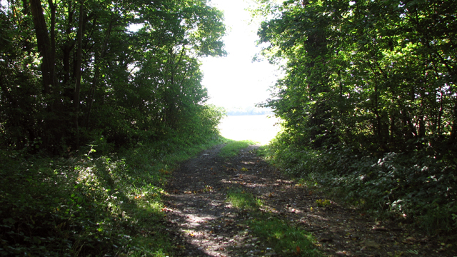
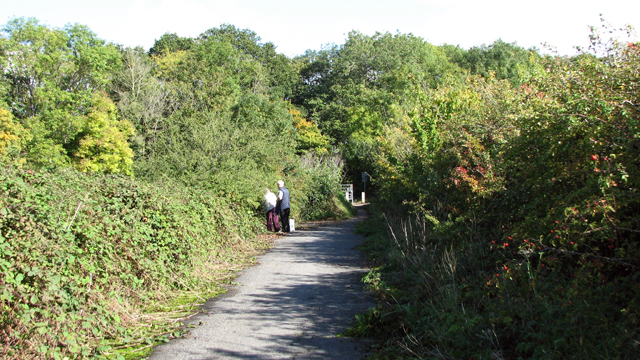
Nature trails wind their way through the plantation, allowing visitors to explore the beauty of the woodland at their own pace. These trails vary in difficulty, from easy strolls suitable for families, to more challenging hikes for experienced walkers. Along the way, visitors will encounter charming wooden bridges, babbling brooks, and hidden clearings, all adding to the enchanting atmosphere of the plantation.
Juniper Plantation also boasts a visitor center, offering information about the local flora and fauna, as well as guided tours for those seeking a more in-depth experience. The center also provides educational programs and workshops for schools and community groups, promoting awareness and appreciation of nature.
For those looking to unwind and enjoy a picnic amidst the tranquility of nature, the plantation offers several designated picnic areas with benches and tables scattered throughout the estate. Additionally, there are also facilities for camping and barbecuing, making Juniper Plantation an ideal destination for a day trip or a weekend getaway.
Overall, Juniper Plantation is a captivating woodland retreat, offering visitors a chance to immerse themselves in the natural beauty and serenity of Norfolk's countryside.
If you have any feedback on the listing, please let us know in the comments section below.
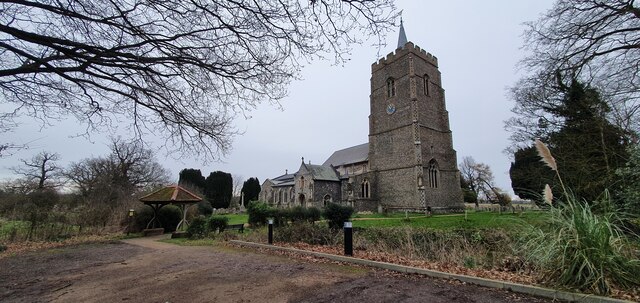
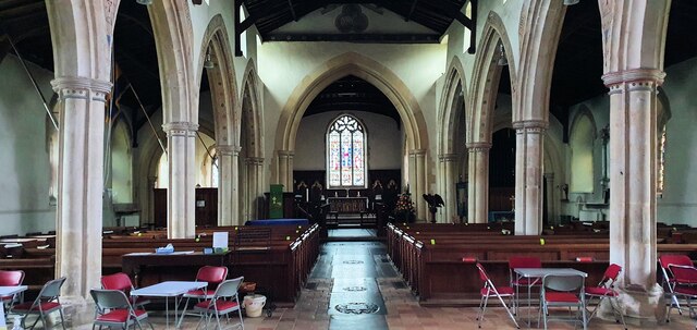
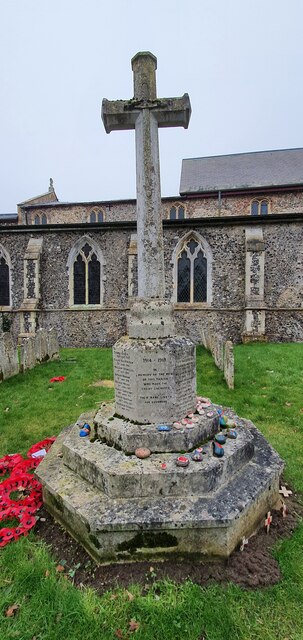
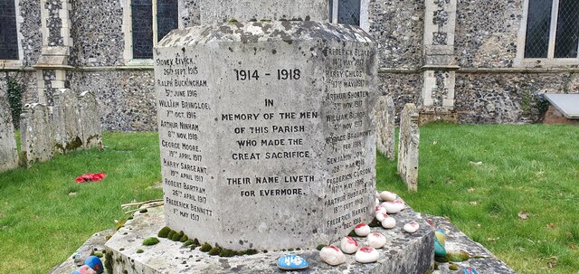
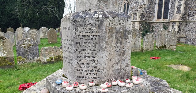
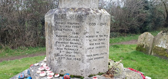
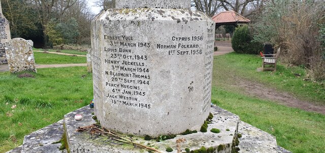
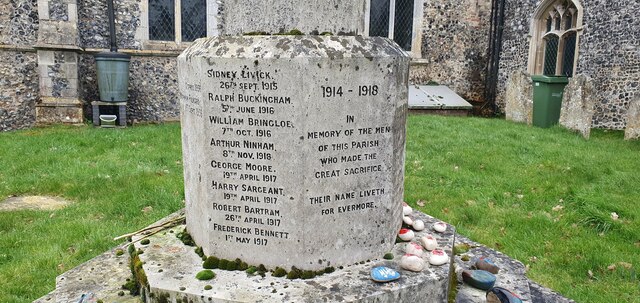
Juniper Plantation Images
Images are sourced within 2km of 52.583088/1.1903569 or Grid Reference TG1603. Thanks to Geograph Open Source API. All images are credited.

Juniper Plantation is located at Grid Ref: TG1603 (Lat: 52.583088, Lng: 1.1903569)
Administrative County: Norfolk
District: South Norfolk
Police Authority: Norfolk
What 3 Words
///immune.backhand.toenail. Near Hethersett, Norfolk
Nearby Locations
Related Wikis

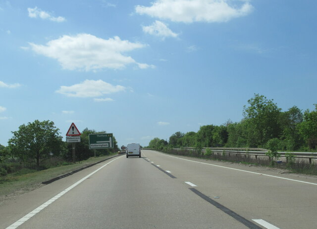
Ketteringham
Ketteringham is a village and civil parish in the English county of Norfolk. The parish covers an area of 6.50 km2 (2.51 sq mi) and had a population of...

Hethersett railway station
Hethersett was a railway station near Hethersett, Norfolk. == History == The Bill for the Norwich & Brandon Railway (N&BR) received Royal Assent on 10...

Hethersett Old Hall School
Hethersett Old Hall School was an independent school located in Hethersett, Norfolk, England that educated around 180 boys and girls. It was a day school...

Forehoe and Henstead Rural District
Forehoe and Henstead Rural Districts were adjacent rural districts in Norfolk, England from 1894 to 1935.They were formed under the Local Government Act...
Nearby Amenities
Located within 500m of 52.583088,1.1903569Have you been to Juniper Plantation?
Leave your review of Juniper Plantation below (or comments, questions and feedback).