Ketley

Civil Parish in Shropshire

England

Ketley

105 Shepherd's Lane Benchmark The OS Cut Benchmark on the boundary wall of 105 Shepherd's Lane, Redlake, Telford. It is 0.8-metres above the ground and 142.99-metres the above Ordnance Datum at Newlyn. It was cut between 1925 to 1937 and last verified by the OS in 1960.
105 Shepherd's Lane Benchmark Credit: Anthony Rowley

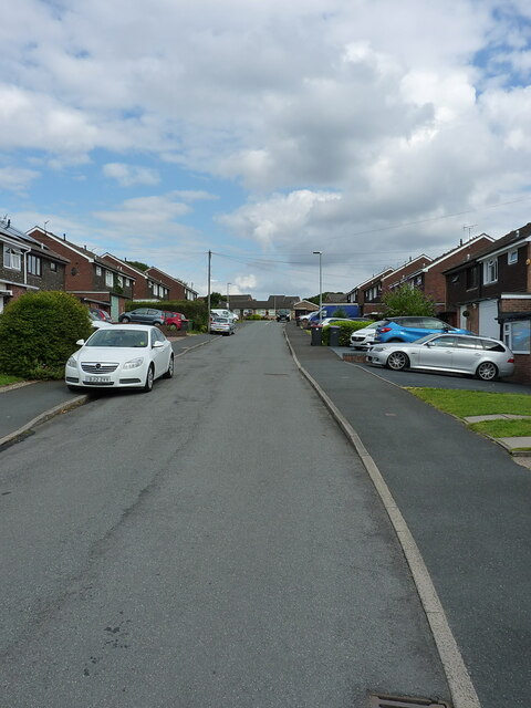
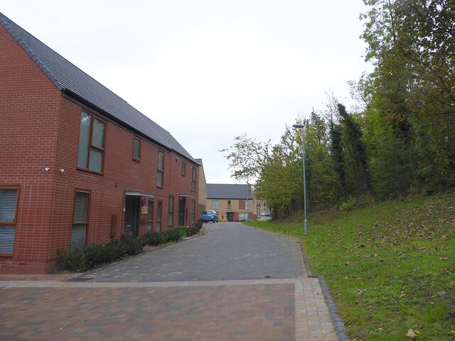
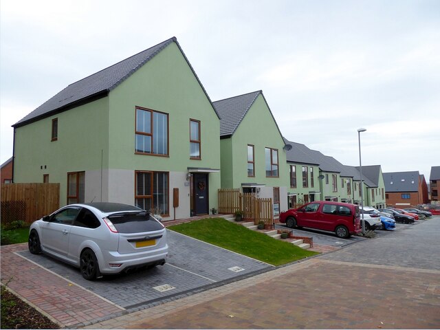
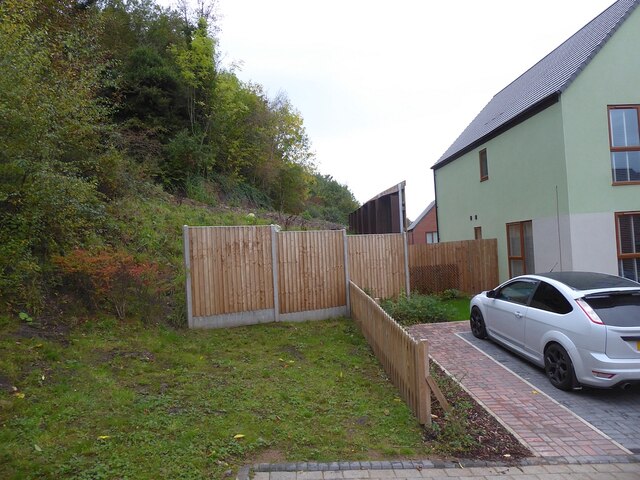
Ketley is a civil parish located in the borough of Telford and Wrekin, Shropshire, England. It is situated approximately 2 miles east of Telford town center and covers an area of approximately 4 square miles. The parish is predominantly residential, with a mix of housing types including detached and semi-detached houses, as well as some apartment buildings.

The area has a rich history, with evidence of human settlement dating back to the Iron Age. Ketley was once a thriving mining and industrial village, known for its ironworks and coal mining activities. However, with the decline of these industries, Ketley has transformed into a largely residential area.

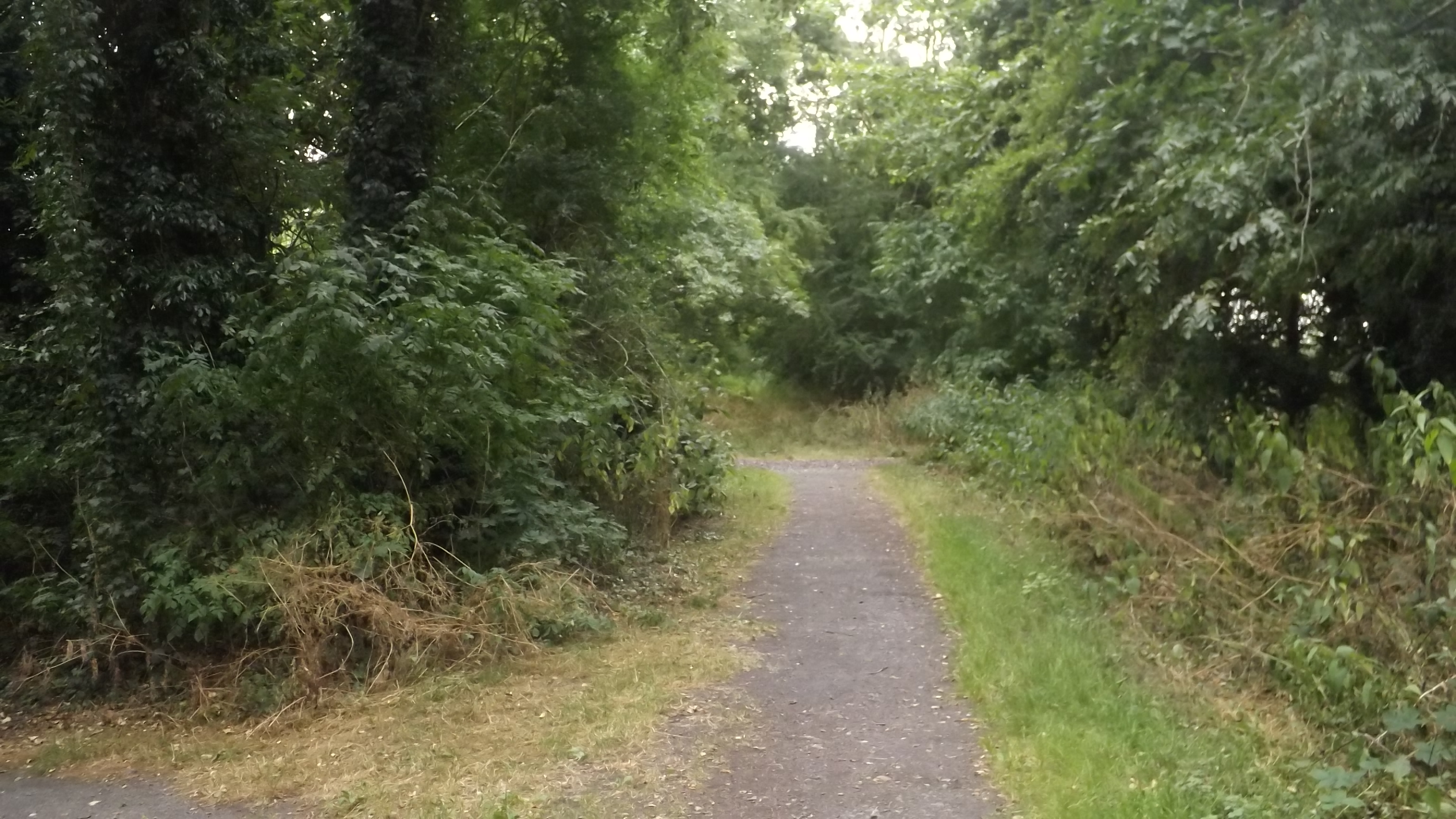
Ketley offers its residents a range of amenities and services. The parish has several primary schools, including Ketley Community Primary School and Holy Trinity Academy, which provides secondary education. There are also a number of parks and green spaces, providing opportunities for outdoor activities and leisure.

Transportation in Ketley is well-connected, with good road links to nearby towns and cities. The A442 road runs through the parish, providing access to Telford and the wider Shropshire area. The area is also served by regular bus services, connecting residents to neighboring areas.

In summary, Ketley is a residential civil parish in Shropshire, known for its mining and industrial heritage. It offers a range of amenities and services, with good transport links to nearby areas.

If you have any feedback on the listing, please let us know in the comments section below.
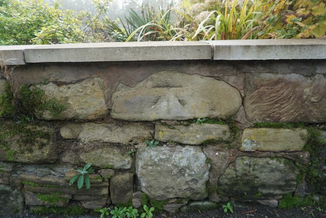
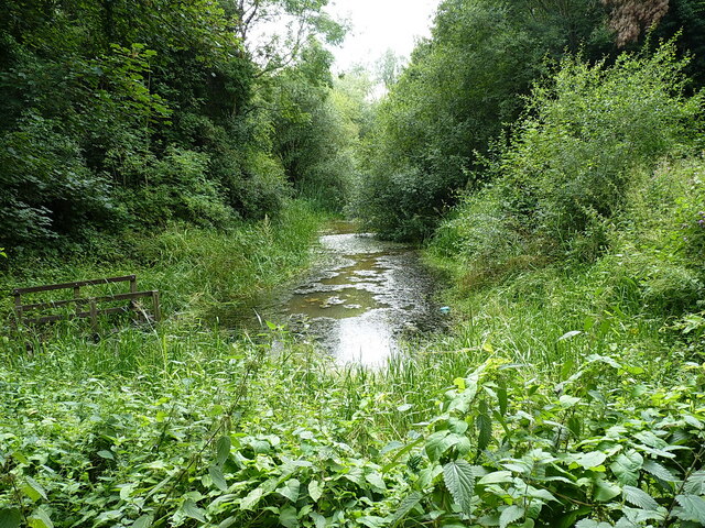
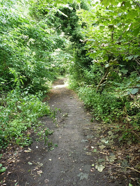
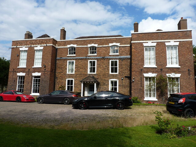
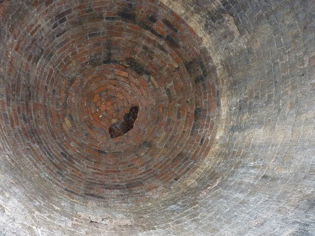
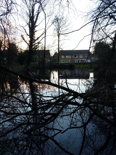
Ketley Images

Images are sourced within 2km of 52.693681/-2.479366 or Grid Reference SJ6710. Thanks to Geograph Open Source API. All images are credited.

105 Shepherd's Lane Benchmark The OS Cut Benchmark on the boundary wall of 105 Shepherd's Lane, Redlake, Telford. It is 0.8-metres above the ground and 142.99-metres the above Ordnance Datum at Newlyn. It was cut between 1925 to 1937 and last verified by the OS in 1960.
105 Shepherd's Lane Benchmark
The OS Cut Benchmark on the boundary wall of 105 Shepherd's Lane, Redlake, Telford. It is 0.8-metres above the ground and 142.99-metres the above Ordnance Datum at Newlyn. It was cut between 1925 to 1937 and last verified by the OS in 1960.
Oakengates station
Oakengates station
Station Mews, Oakengate station
Mossey Green Benchmark The OS Benchmark cut into the north facing wall adjacent to Main Road, Ketley Bank, Telford. This is a 3rd Order benchmark that was last verified by the OS in 1961. It is recorded as being 175.85-metres above the Ordnance Datum at Newlyn.
Mossey Green Benchmark
The OS Benchmark cut into the north facing wall adjacent to Main Road, Ketley Bank, Telford. This is a 3rd Order benchmark that was last verified by the OS in 1961. It is recorded as being 175.85-metres above the Ordnance Datum at Newlyn.
Lawrence House Benchmark The OS benchmark that sits in the garden wall of Lawrence House (No.32) Main Road, Ketley Bank, Telford. It is a 3rd Order benchmark that was last verified by the OS in 1961. The OS records indicate that the benchmark is 0.6-metres above the ground. The wall has been re-built and along with its height above the ground suggests that it has been moved.
Lawrence House Benchmark
The OS benchmark that sits in the garden wall of Lawrence House (No.32) Main Road, Ketley Bank, Telford. It is a 3rd Order benchmark that was last verified by the OS in 1961. The OS records indicate that the benchmark is 0.6-metres above the ground. The wall has been re-built and along with its height above the ground suggests that it has been moved.
The last remaining stretch of the Ketley Canal The canal was dug in the late 18th century as a link to carry coal and ironstore  between the Shropshire Canal at Oakengates, and a private foundry near Ketley. It operated as such for roughly 30 years, and included the use of an inclined plane at the western end, which is likely to be the feature seen in <a href="https://www.geograph.org.uk/photo/7022807">SJ6710 : An old trackway behind Ketley Hall</a> via which the loaded tub boats were lowered on rails to the foundry. See also <a href="https://www.geograph.org.uk/photo/1079471">SJ6810 : Remains of Ketley Canal</a> taken nearly 20 years previously, when the water was a little less vegetated.
The last remaining stretch of the Ketley Canal
The canal was dug in the late 18th century as a link to carry coal and ironstore between the Shropshire Canal at Oakengates, and a private foundry near Ketley. It operated as such for roughly 30 years, and included the use of an inclined plane at the western end, which is likely to be the feature seen in SJ6710 : An old trackway behind Ketley Hall via which the loaded tub boats were lowered on rails to the foundry. See also SJ6810 : Remains of Ketley Canal taken nearly 20 years previously, when the water was a little less vegetated.
An old trackway behind Ketley Hall Old maps aren't clear as to the purpose (or even the existence) of this track, which drops down from south to north in the general direction of the road named Red Lees. Part way down it, there's some crumbling masonry on either side, which may be the disintegrating remains of a bridge carrying an 18th century mining tramway from east-west; the whole area was heavily mined for coal, limestone and some poor iron ore around that time. Most of the surface features, e.g. spoil heaps, which were mapped around 1900 in the area have now been re-landscaped or flattened during the 1960s/70s when the whole area was being built up as Telford New Town, so it's hard to find clear evidence of just what was what nowadays.
An old trackway behind Ketley Hall
Old maps aren't clear as to the purpose (or even the existence) of this track, which drops down from south to north in the general direction of the road named Red Lees. Part way down it, there's some crumbling masonry on either side, which may be the disintegrating remains of a bridge carrying an 18th century mining tramway from east-west; the whole area was heavily mined for coal, limestone and some poor iron ore around that time. Most of the surface features, e.g. spoil heaps, which were mapped around 1900 in the area have now been re-landscaped or flattened during the 1960s/70s when the whole area was being built up as Telford New Town, so it's hard to find clear evidence of just what was what nowadays.
The Incline (road) at Ketleyhill Clearly not an incline in itself, as it's more or less level. But it appears to take its name from the nearby <a href="https://www.geograph.org.uk/photo/7058320">SJ6710 : The most probable site of the Ketley Inclined Plane</a> which lies immediately to the NW (ie directly behind me in this photo). The houses here look like they were built in the 1960s or early 1970s, which would tie in with the most active period of development of Telford New Town, during which much of the former industrial archeology of the area was lost.
The Incline (road) at Ketleyhill
Clearly not an incline in itself, as it's more or less level. But it appears to take its name from the nearby SJ6710 : The most probable site of the Ketley Inclined Plane which lies immediately to the NW (ie directly behind me in this photo). The houses here look like they were built in the 1960s or early 1970s, which would tie in with the most active period of development of Telford New Town, during which much of the former industrial archeology of the area was lost.
Ketley Hall A remarkable survivor in the middle of the Telford New Town. Ketley Hall dates from the mid-late 18th century, and was at one time occupied by the Reynolds family; they were early ironmasters and ran a foundry nearby, along with a canal and inclined plane for the tub-boats which supplied coal & ironstone into said foundry. The house was Grade II listed <span class="nowrap"><a title="https://britishlistedbuildings.co.uk/101038628-ketley-hall-ketley#.YZgfXNDP3IU" rel="nofollow ugc noopener" href="https://britishlistedbuildings.co.uk/101038628-ketley-hall-ketley#.YZgfXNDP3IU">Link</a><img style="margin-left:2px;" alt="External link" title="External link - shift click to open in new window" src="https://s1.geograph.org.uk/img/external.png" width="10" height="10"/></span> & <span class="nowrap"><a title="https://historicengland.org.uk/listing/the-list/list-entry/1038628" rel="nofollow ugc noopener" href="https://historicengland.org.uk/listing/the-list/list-entry/1038628">Link</a><img style="margin-left:2px;" alt="External link" title="External link - shift click to open in new window" src="https://s1.geograph.org.uk/img/external.png" width="10" height="10"/></span> in 1971. 
(The rather flash cars were visiting for a function at the hall, but I didn't feel I could ask them to move for the photo)
Ketley Hall
A remarkable survivor in the middle of the Telford New Town. Ketley Hall dates from the mid-late 18th century, and was at one time occupied by the Reynolds family; they were early ironmasters and ran a foundry nearby, along with a canal and inclined plane for the tub-boats which supplied coal & ironstone into said foundry. The house was Grade II listed LinkExternal link & LinkExternal link in 1971. (The rather flash cars were visiting for a function at the hall, but I didn't feel I could ask them to move for the photo)
The most probable site of the Ketley Inclined Plane Possibly the first successfully-operated and commercially viable Inclined Plane in the UK, built around 1788 as a means of lowering tub boats from the Ketley Canal <a href="https://www.geograph.org.uk/photo/7022802">SJ6810 : The last remaining stretch of the Ketley Canal</a> to a long-vanished foundry just to the NW of this point. The boats carried coal and ironstone to the foundry, and were lowered on L-shaped rails with a braking system managed via a windlass at the top of the plane. 
There seems to be very little (reliable) documented evidence of the exact route of the incline, and if any trace remained 'on the ground' into the 20th century it has been removed by a combination of garden landscaping in the grounds of Hillside Farm on the left here, plus the efforts of Telford Development Corporation from the 1960s onwards. However, a combination of detective work using the best available old maps that we can find, plus some local knowledge from the long-term residents of the farm, suggest that the centre of this photo (ie through the car and the brick outbuilding behind it) tracks the most probable line of the incline. At the top of the garden there is a fence, immediately behind which lies the road bearing the name <a href="https://www.geograph.org.uk/photo/7022822">SJ6710 : The Incline (road) at Ketleyhill</a>.
The most probable site of the Ketley Inclined Plane
Possibly the first successfully-operated and commercially viable Inclined Plane in the UK, built around 1788 as a means of lowering tub boats from the Ketley Canal SJ6810 : The last remaining stretch of the Ketley Canal to a long-vanished foundry just to the NW of this point. The boats carried coal and ironstone to the foundry, and were lowered on L-shaped rails with a braking system managed via a windlass at the top of the plane. There seems to be very little (reliable) documented evidence of the exact route of the incline, and if any trace remained 'on the ground' into the 20th century it has been removed by a combination of garden landscaping in the grounds of Hillside Farm on the left here, plus the efforts of Telford Development Corporation from the 1960s onwards. However, a combination of detective work using the best available old maps that we can find, plus some local knowledge from the long-term residents of the farm, suggest that the centre of this photo (ie through the car and the brick outbuilding behind it) tracks the most probable line of the incline. At the top of the garden there is a fence, immediately behind which lies the road bearing the name SJ6710 : The Incline (road) at Ketleyhill.
Uphill on the (probable) route of the Ketley Incline The cars & nearest houses here are on Woodside Close, whilst the white house beyond is Hillside Farm, and dates from around 1800. The centre-line of the photo follows, as closely as I can ascertain, the line of the Ketley Incline. This was the country's first commercially-operated Inclined Plane, built around 1788 as a means of lowering tub boats from the Ketley Canal to a long-vanished foundry just to the NW of this point. The boats carried coal and ironstone to the foundry, and were lowered on L-shaped rails with a braking system managed via a windlass at the top of the plane.
Nothing remains visible at ground level of the incline, all surface signs having been removed by subsequent building works over the years, although there may be some underground traces which could be found by careful archaeology. The trustees of the Blists Hill Museum have apparently shown interest in some tunnels <a href="https://www.geograph.org.uk/photo/7059691">SJ6710 : Mysterious tunnel entrance</a> that lie beneath the garden of Hillside Farm, although whether these are associated with the incline is unknown.
Uphill on the (probable) route of the Ketley Incline
The cars & nearest houses here are on Woodside Close, whilst the white house beyond is Hillside Farm, and dates from around 1800. The centre-line of the photo follows, as closely as I can ascertain, the line of the Ketley Incline. This was the country's first commercially-operated Inclined Plane, built around 1788 as a means of lowering tub boats from the Ketley Canal to a long-vanished foundry just to the NW of this point. The boats carried coal and ironstone to the foundry, and were lowered on L-shaped rails with a braking system managed via a windlass at the top of the plane. Nothing remains visible at ground level of the incline, all surface signs having been removed by subsequent building works over the years, although there may be some underground traces which could be found by careful archaeology. The trustees of the Blists Hill Museum have apparently shown interest in some tunnels SJ6710 : Mysterious tunnel entrance that lie beneath the garden of Hillside Farm, although whether these are associated with the incline is unknown.
Mysterious tunnel entrance Right outside the rear of Hillside Farm lies this tunnel entrance - roughly 2'6" wide and 3' high. It heads off in an easterly direction for maybe 20 yards, then opens up into a high chamber <a href="https://www.geograph.org.uk/photo/7059866">SJ6710 : Brick-lined chamber in the tunnel</a>, from which it then takes a more northerly direction towards Ketley Hall, although local knowledge suggests that the far end of it has long since been closed off. Purpose and original use are unknown, but it is neatly brick-lined throughout (albeit a bit dirty on the floor) and 'feels old' in the sense that it's probably 18th century or thereabouts. Given that the whole area was heavily mined for coal, ironstone and various other minerals in the 18th & 19th centuries, it's quite likely to have been some sort of drain for a nearby mine. It also lies very close to the site of the former Ketley Canal Incline, all surface trace of which has now vanished. The Blists Hill Museum staff have investigated it in the past, but I have not tracked down their conclusions yet.
Mysterious tunnel entrance
Right outside the rear of Hillside Farm lies this tunnel entrance - roughly 2'6" wide and 3' high. It heads off in an easterly direction for maybe 20 yards, then opens up into a high chamber SJ6710 : Brick-lined chamber in the tunnel, from which it then takes a more northerly direction towards Ketley Hall, although local knowledge suggests that the far end of it has long since been closed off. Purpose and original use are unknown, but it is neatly brick-lined throughout (albeit a bit dirty on the floor) and 'feels old' in the sense that it's probably 18th century or thereabouts. Given that the whole area was heavily mined for coal, ironstone and various other minerals in the 18th & 19th centuries, it's quite likely to have been some sort of drain for a nearby mine. It also lies very close to the site of the former Ketley Canal Incline, all surface trace of which has now vanished. The Blists Hill Museum staff have investigated it in the past, but I have not tracked down their conclusions yet.
Brick-lined chamber in the tunnel Roughly 20 yards inside <a href="https://www.geograph.org.uk/photo/7059691">SJ6710 : Mysterious tunnel entrance</a> lies this well-built chamber, which is about 15 or 18 feet high. It's immediately under the back garden of Hillside Farm. To the left of the point I took this picture (which is looking more or less directly upwards) there's another arm of the tunnel which apparently leads to a further identical chamber a little further on, before heading onwards in the direction of Ketley Hall. All very mysterious at the moment.
Brick-lined chamber in the tunnel
Roughly 20 yards inside SJ6710 : Mysterious tunnel entrance lies this well-built chamber, which is about 15 or 18 feet high. It's immediately under the back garden of Hillside Farm. To the left of the point I took this picture (which is looking more or less directly upwards) there's another arm of the tunnel which apparently leads to a further identical chamber a little further on, before heading onwards in the direction of Ketley Hall. All very mysterious at the moment.
Pool at the back of houses on Morgan Way A shallow pool at the rear of houses on Morgan Way, Ketley. There is a possibility (it's speculation on my part) that this may be the lower receiving pool for tub-boats at the bottom of the long-vanished Ketley Incline, whose location was just uphill of this point. It was used to bring tub-boats laden with coal and ore from the upper part of the Ketley Canal to a lower level, from where they moved to feed a foundry in Ketley Dingle. If this is so, then one likely contender for the route of the incline is the wooded bank shown in <a href="https://www.geograph.org.uk/photo/7059878">SJ6710 : Another possible location for the vanished Ketley Inclined Plane</a>. On the other hand, it could just be a random pond.
Pool at the back of houses on Morgan Way
A shallow pool at the rear of houses on Morgan Way, Ketley. There is a possibility (it's speculation on my part) that this may be the lower receiving pool for tub-boats at the bottom of the long-vanished Ketley Incline, whose location was just uphill of this point. It was used to bring tub-boats laden with coal and ore from the upper part of the Ketley Canal to a lower level, from where they moved to feed a foundry in Ketley Dingle. If this is so, then one likely contender for the route of the incline is the wooded bank shown in SJ6710 : Another possible location for the vanished Ketley Inclined Plane. On the other hand, it could just be a random pond.
Another possible location for the vanished Ketley Inclined Plane If <a href="https://www.geograph.org.uk/photo/7059676">SJ6710 : Uphill on the (probable) route of the Ketley Incline</a> isn't the exact route of the one-time Ketley Incline, then this wooded slope is another possibility (it's just offshot to the left of that picture, in the trees behind the white farmhouse). This fairly steep slope lies immediately uphill of <a href="https://www.geograph.org.uk/photo/7059875">SJ6710 : Pool at the back of houses on Morgan Way</a>, but local information suggests that the pool is not what I have speculated.
Another possible location for the vanished Ketley Inclined Plane
If SJ6710 : Uphill on the (probable) route of the Ketley Incline isn't the exact route of the one-time Ketley Incline, then this wooded slope is another possibility (it's just offshot to the left of that picture, in the trees behind the white farmhouse). This fairly steep slope lies immediately uphill of SJ6710 : Pool at the back of houses on Morgan Way, but local information suggests that the pool is not what I have speculated.
Oak Trees Avenue, Ketley Oak Trees Avenue is on the southern edge of the development and consists of four short side streets, two of which are linked by this cross street (see <a title="https://www.geograph.org.uk/photo/7075890" href="https://www.geograph.org.uk/photo/7075890">Link</a> for reciprocal view). They are lined with a mix of detached, semi-detached and terraced houses, in varying designs and materials. The streets are paved with various colours of paviours.

Royal Mail says Ketley is the correct address, rather than Hadley, as suggested by Mike White in his 2008 shot of part of the site for this development <a href="https://www.geograph.org.uk/photo/858344">SJ6811 : Hadley Millennium Village</a>. Five of the semi-detached pairs in Mike's photo have been refurbished and retained. 
The part of the development shown here is out of shot to the right in his pic.
Oak Trees Avenue, Ketley
Oak Trees Avenue is on the southern edge of the development and consists of four short side streets, two of which are linked by this cross street (see Link for reciprocal view). They are lined with a mix of detached, semi-detached and terraced houses, in varying designs and materials. The streets are paved with various colours of paviours. Royal Mail says Ketley is the correct address, rather than Hadley, as suggested by Mike White in his 2008 shot of part of the site for this development SJ6811 : Hadley Millennium Village. Five of the semi-detached pairs in Mike's photo have been refurbished and retained. The part of the development shown here is out of shot to the right in his pic.
Oak Trees Avenue, Ketley Oak Trees Avenue is on the southern edge of the development and consists of four short side streets. They are lined with a mix of detached, semi-detached and terraced houses, in varying designs and materials. The streets are paved with various colours of paviours. 
The numbers set in the parking places may relate to plot numbers, they certainly don't match the house numbers.

Royal Mail says Ketley is the correct address, rather than Hadley, as suggested by Mike White in his 2008 shot of part of the site for this development <a href="https://www.geograph.org.uk/photo/858344">SJ6811 : Hadley Millennium Village</a>. Five of the semi-detached pairs in Mike's photo have been refurbished and retained. 
The part of the development shown here is out of shot to the right in his pic.
Oak Trees Avenue, Ketley
Oak Trees Avenue is on the southern edge of the development and consists of four short side streets. They are lined with a mix of detached, semi-detached and terraced houses, in varying designs and materials. The streets are paved with various colours of paviours. The numbers set in the parking places may relate to plot numbers, they certainly don't match the house numbers. Royal Mail says Ketley is the correct address, rather than Hadley, as suggested by Mike White in his 2008 shot of part of the site for this development SJ6811 : Hadley Millennium Village. Five of the semi-detached pairs in Mike's photo have been refurbished and retained. The part of the development shown here is out of shot to the right in his pic.
Oak Trees Avenue, Ketley Oak Trees Avenue is on the southern edge of the development and consists of four short side streets. They are lined with a mix of detached, semi-detached and terraced houses, in varying designs and materials. The streets are paved with various colours of paviours. 

Royal Mail says Ketley is the correct address, rather than Hadley, as suggested by Mike White in his 2008 shot of part of the site for this development <a href="https://www.geograph.org.uk/photo/858344">SJ6811 : Hadley Millennium Village</a>. Five of the semi-detached pairs in Mike's photo have been refurbished and retained. 
 
The part of the development shown here is out of shot to the right in his pic. The bank which has been cut into to create some of the gardens here, led up to the old lane shown on the right in Mike's photo.
Oak Trees Avenue, Ketley
Oak Trees Avenue is on the southern edge of the development and consists of four short side streets. They are lined with a mix of detached, semi-detached and terraced houses, in varying designs and materials. The streets are paved with various colours of paviours. Royal Mail says Ketley is the correct address, rather than Hadley, as suggested by Mike White in his 2008 shot of part of the site for this development SJ6811 : Hadley Millennium Village. Five of the semi-detached pairs in Mike's photo have been refurbished and retained. The part of the development shown here is out of shot to the right in his pic. The bank which has been cut into to create some of the gardens here, led up to the old lane shown on the right in Mike's photo.
Show me another place!

Ketley is located at Grid Ref: SJ6710 (Lat: 52.693681, Lng: -2.479366)

Unitary Authority: Telford and Wrekin

Police Authority: West Mercia

What 3 Words

///stuffy.nanny.residual. Near Hadley, Shropshire

Nearby Locations

Ketley Ketley Dingle

Related Wikis

Ketley

Ketley is a large village and part of Telford in the borough of Telford and Wrekin and ceremonial county of Shropshire, England. It is a civil parish....

Ketley railway station

Ketley railway station was a station in Ketley, Shropshire, England. The station was opened in 1859 and closed in 1962. == References == == Further... ==

Ketley Town Halt railway station

Ketley Town Halt railway station was a station in Ketley, Shropshire, England. The station was opened in 1936 and closed in 1962.The station was located...

New Hadley Halt railway station

New Hadley Halt was a minor station between Oakengates and Wellington on the former Great Western Railway's London Paddington to Birkenhead via Birmingham...

Nearby Amenities

Located within 500m of 52.693681,-2.479366
Bus Stop
Ketley, Wrens Nest (S Bound)
Bus: yes
Public Transport: platform
Lat/Long: 52.6929138/-2.4806213
Bus Stop
Ketley, Wrens Nest (N Bound)
Bus: yes
Public Transport: platform
Lat/Long: 52.6929138/-2.4813509
Restaurant
Blue Elephant
Addr City: Telford
Addr Postcode: TF1 5AN
Addr Street: Holyhead Road
Cuisine: indian
Fhrs Id: 605173
Source Addr: FHRS Open Data
Wheelchair: no
Lat/Long: 52.6961886/-2.480261
Fast Food
Ping Hong Chinese Takeaway
Wheelchair: limited
Lat/Long: 52.6959012/-2.4833306
Post Box
Wheelchair: yes
Lat/Long: 52.6958268/-2.4818466
Four Ways Stores
Shop: convenience
Lat/Long: 52.6959089/-2.481818
Turning Circle
Lat/Long: 52.6975238/-2.4791312
Turning Circle
Lat/Long: 52.6952813/-2.4800722
Mini Roundabout
Source: bing
Lat/Long: 52.6925917/-2.4795117
Mini Roundabout
Direction: clockwise
Lat/Long: 52.6958984/-2.4781457
Ketley
Abandoned Railway: station
Railway: site
Wikidata: Q28970432
Wikipedia: en:Ketley railway station
Lat/Long: 52.6958266/-2.4839695
Traffic Signals
Lat/Long: 52.6957996/-2.4807396
Traffic Signals
Lat/Long: 52.6959642/-2.480372
Traffic Signals
Lat/Long: 52.6960025/-2.4811223
Traffic Signals
Lat/Long: 52.6962631/-2.4807651
Speed Camera
Lat/Long: 52.6961231/-2.4837664
Power: tower
Lat/Long: 52.6930804/-2.4843082
Power: tower
Lat/Long: 52.6918132/-2.485058
Ketley
Place: suburb
Source: NLS - OS 1:25k 1st Series 1937-61
Lat/Long: 52.6954749/-2.4810196
Pub
The Wrens Nest
Addr City: Telford
Addr Postcode: TF1 5HJ
Addr Street: Wren's Nest Lane
Fhrs Id: 559876
Source Addr: FHRS Open Data
Wheelchair: yes
Lat/Long: 52.6922457/-2.4796311
Ketley News And Booze
Shop: convenience
Wheelchair: limited
Lat/Long: 52.6926279/-2.4800102
Crossing
Crossing: uncontrolled
Kerb: flush
Tactile Paving: no
Lat/Long: 52.6971378/-2.4792426
Crossing
Crossing: uncontrolled
Kerb: flush
Lat/Long: 52.6962038/-2.4788696
Crossing
Crossing: unmarked
Crossing Island: no
Tactile Paving: yes
Lat/Long: 52.6961245/-2.483802
Generator Method: photovoltaic
Generator Output Biogas: yes
Generator Output Electricity: yes
Generator Source: solar
Generator Type: solar_photovoltaic_panel
Location: roof
Power: generator
Lat/Long: 52.6957109/-2.4848869
Generator Method: photovoltaic
Generator Output Electricity: yes
Generator Source: solar
Generator Type: solar_photovoltaic_panel
Location: roof
Power: generator
Lat/Long: 52.692723/-2.4757379
Generator Method: photovoltaic
Generator Output Electricity: yes
Generator Source: solar
Generator Type: solar_photovoltaic_panel
Location: roof
Power: generator
Lat/Long: 52.6927344/-2.4758479
Generator Method: photovoltaic
Generator Output Electricity: yes
Generator Source: solar
Generator Type: solar_photovoltaic_panel
Location: roof
Power: generator
Lat/Long: 52.6923784/-2.4753436
Generator Method: photovoltaic
Generator Output Electricity: yes
Generator Source: solar
Generator Type: solar_photovoltaic_panel
Location: roof
Power: generator
Lat/Long: 52.6924288/-2.4758506
Generator Method: photovoltaic
Generator Output Electricity: yes
Generator Source: solar
Generator Type: solar_photovoltaic_panel
Location: roof
Power: generator
Lat/Long: 52.6924645/-2.4761832
Generator Method: photovoltaic
Generator Output Electricity: yes
Generator Source: solar
Generator Type: solar_photovoltaic_panel
Location: roof
Power: generator
Lat/Long: 52.6921947/-2.4766418
Generator Method: photovoltaic
Generator Output Electricity: yes
Generator Source: solar
Generator Type: solar_photovoltaic_panel
Location: roof
Power: generator
Lat/Long: 52.6922239/-2.4768886
Generator Method: photovoltaic
Generator Output Electricity: yes
Generator Source: solar
Generator Type: solar_photovoltaic_panel
Location: roof
Power: generator
Lat/Long: 52.6912648/-2.4753839
Generator Method: photovoltaic
Generator Output Electricity: yes
Generator Source: solar
Generator Type: solar_photovoltaic_panel
Location: roof
Power: generator
Lat/Long: 52.691559/-2.4753329
Generator Method: photovoltaic
Generator Output Electricity: yes
Generator Source: solar
Generator Type: solar_photovoltaic_panel
Location: roof
Power: generator
Lat/Long: 52.6915834/-2.4757728
Generator Method: photovoltaic
Generator Output Electricity: yes
Generator Source: solar
Generator Type: solar_photovoltaic_panel
Location: roof
Power: generator
Lat/Long: 52.6905397/-2.4756843
Generator Method: photovoltaic
Generator Output Electricity: yes
Generator Source: solar
Generator Type: solar_photovoltaic_panel
Location: roof
Power: generator
Lat/Long: 52.6924548/-2.4842325
Generator Method: photovoltaic
Generator Output Electricity: yes
Generator Source: solar
Generator Type: solar_photovoltaic_panel
Location: roof
Power: generator
Lat/Long: 52.6915168/-2.4811614
Generator Method: photovoltaic
Generator Output Electricity: yes
Generator Source: solar
Generator Type: solar_photovoltaic_panel
Location: roof
Power: generator
Lat/Long: 52.6926499/-2.4792972
Generator Method: photovoltaic
Generator Output Electricity: yes
Generator Source: solar
Generator Type: solar_photovoltaic_panel
Location: roof
Power: generator
Lat/Long: 52.6927165/-2.4788332
Post Box
Collection Times: Mo-Fr 09:00; Sa 07:00
Post Box Type: lamp
Ref: TF1 470
Royal Cypher: GVIR
Royal Cypher Wikidata: Q33102169
Lat/Long: 52.6974097/-2.4768674
Traffic Calming: hump
Lat/Long: 52.694099/-2.4796293
Bus Stop
Covered: yes
Passenger Information Display: no
Public Transport: platform
Shelter: yes
Wheelchair: yes
Lat/Long: 52.6960839/-2.4838744
Entrance: main
Lat/Long: 52.6911045/-2.477143
Crossing
Crossing: uncontrolled
Crossing Island: no
Crossing Markings: zebra
Crossing Ref: zebra
Tactile Paving: yes
Traffic Calming: table
Lat/Long: 52.6957994/-2.4775732
Crossing
Crossing: traffic_signals
Crossing Island: no
Crossing Markings: dots
Tactile Paving: yes
Lat/Long: 52.6957057/-2.4767129
The data included in this document is from www.openstreetmap.org. The data is made available under ODbL.

Have you been to Ketley?

Leave your review of Ketley below (or comments, questions and feedback).