Atcham
Civil Parish in Shropshire
England
Atcham
Atcham is a civil parish located in the county of Shropshire, England. Situated on the banks of the River Severn, it is approximately 6 miles southeast of the county town of Shrewsbury. The parish covers an area of about 10 square kilometers and has a population of around 750 residents.
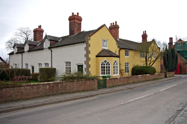
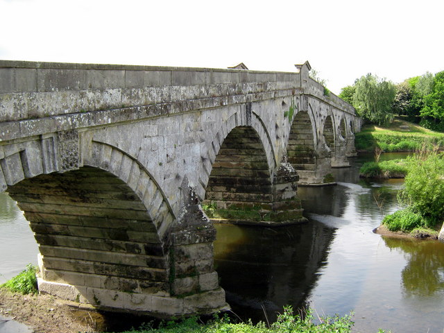
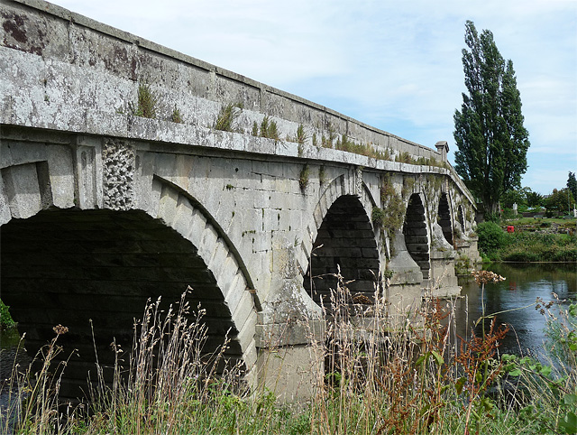
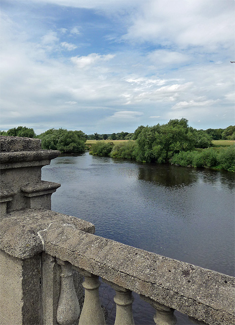
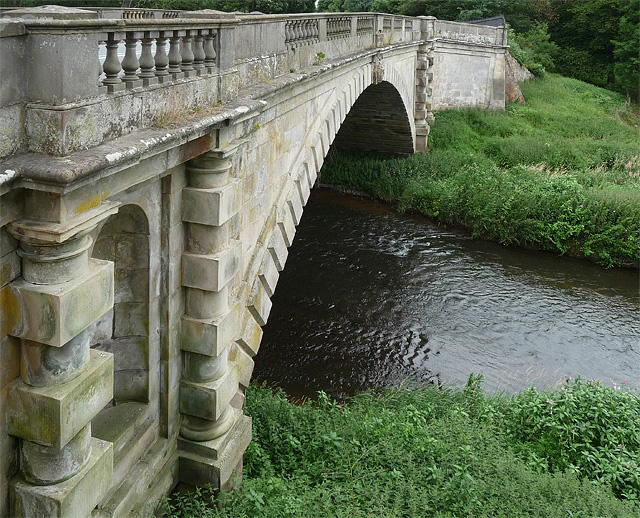
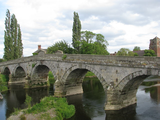
The village of Atcham is characterized by its picturesque setting, surrounded by beautiful countryside and rolling hills. It is renowned for its historic significance, with evidence of human settlement dating back to the Roman period. The village has a rich architectural heritage, boasting several listed buildings and landmarks, including the iconic Atcham Bridge, which was constructed in the 18th century and is a Grade I listed structure.
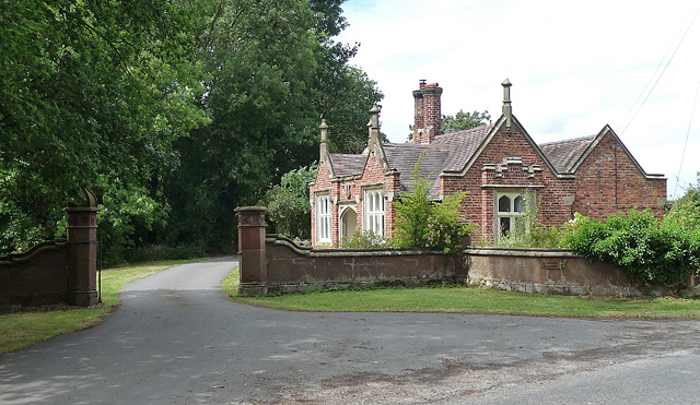
The parish also includes the nearby hamlets of Cross Houses and Emstrey. These smaller settlements contribute to the rural charm of the area, with many traditional cottages and farmhouses dotting the landscape.
Atcham offers a range of amenities and services to its residents and visitors. These include a village hall, a primary school, a post office, and a parish church. The local community is active and vibrant, with various social and recreational opportunities available, such as sports clubs and community events.
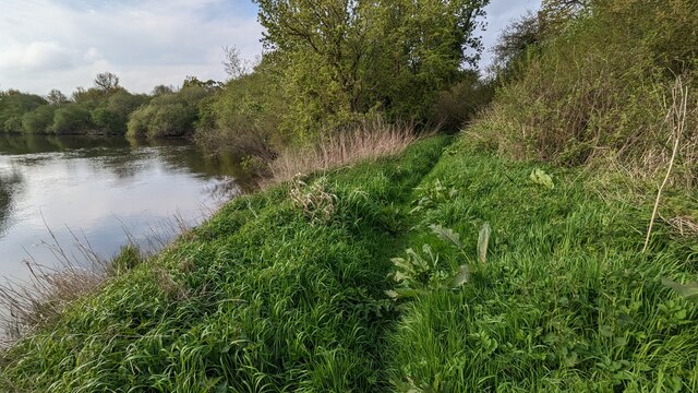
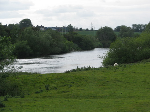
The surrounding countryside provides ample opportunities for outdoor activities, such as walking, cycling, and fishing. The River Severn is also a popular spot for boating and canoeing enthusiasts.
Overall, Atcham is a tranquil and picturesque civil parish, combining a rich historical background with a strong sense of community and a beautiful natural environment.
If you have any feedback on the listing, please let us know in the comments section below.
Atcham Images
Images are sourced within 2km of 52.684707/-2.687854 or Grid Reference SJ5309. Thanks to Geograph Open Source API. All images are credited.

Atcham is located at Grid Ref: SJ5309 (Lat: 52.684707, Lng: -2.687854)
Unitary Authority: Shropshire
Police Authority: West Mercia
What 3 Words
///dating.deflated.marching. Near Berrington, Shropshire
Nearby Locations
Related Wikis
Atcham
Atcham is a village, ecclesiastical parish and civil parish in Shropshire, England. It lies on the B4380 (once the A5), 5 miles south-east of Shrewsbury...
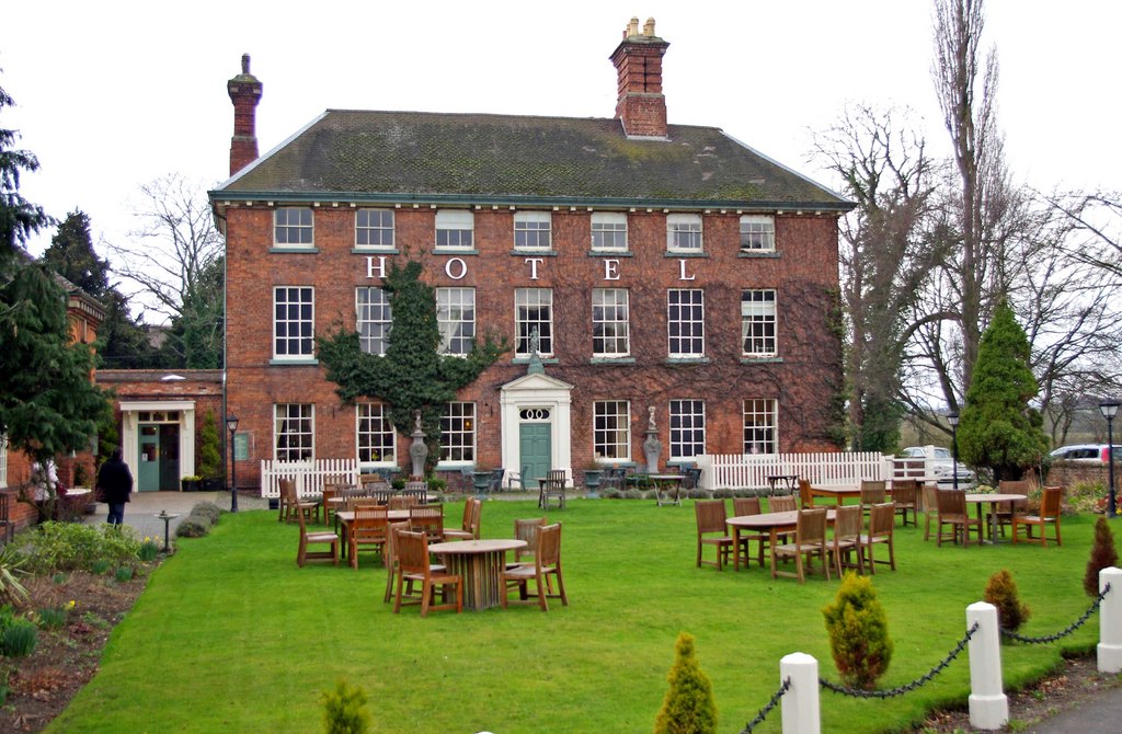
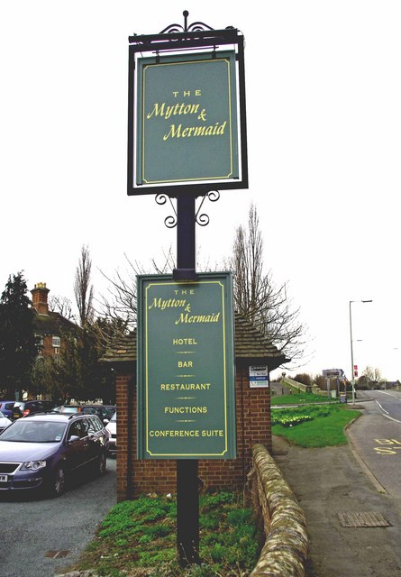
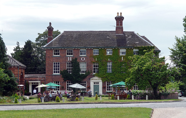
Mytton and Mermaid Hotel
The Mytton and Mermaid Hotel in the parish of Atcham, near Shrewsbury, England, is a Grade II listed building. It gained its protected status in 1952.Originally...
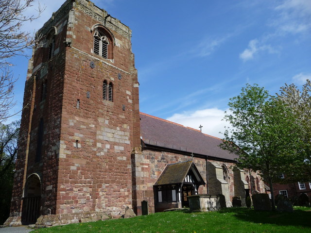
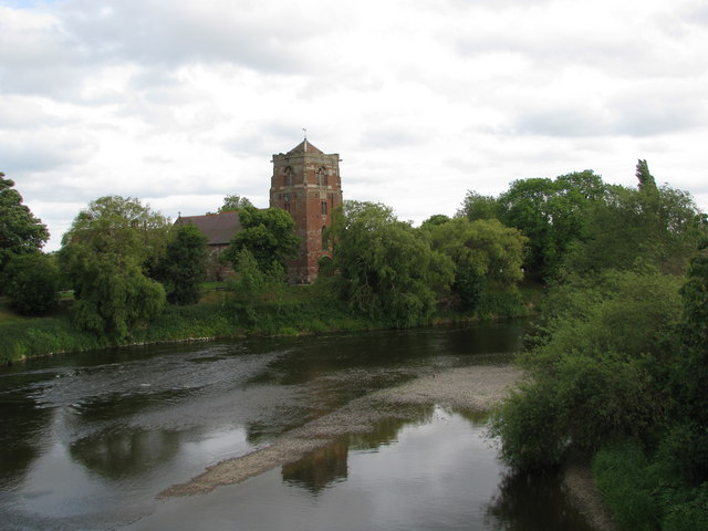
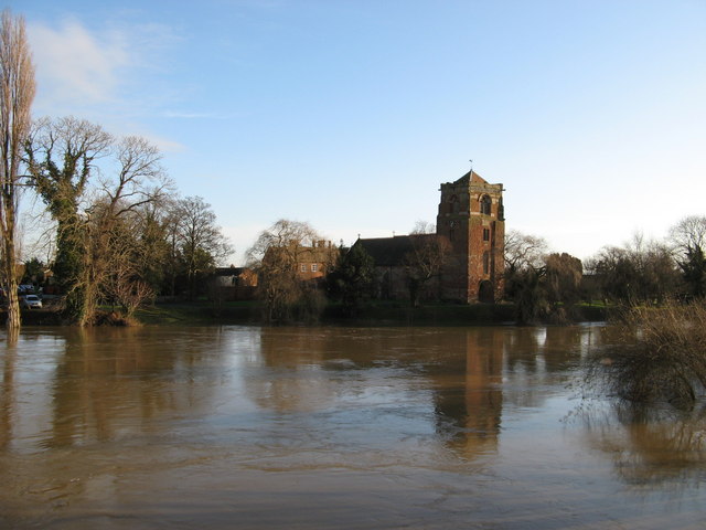
St Eata's Church, Atcham
St Eata's Church is in the village of Atcham, Shropshire, England. It is an active Anglican parish church in the deanery of Shrewsbury, the archdeaconry...

Emstrey
Emstrey is a dispersed hamlet on the outskirts of Shrewsbury, in the English county of Shropshire. The hamlet is located south-east of the town, on the...

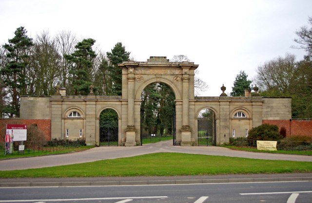
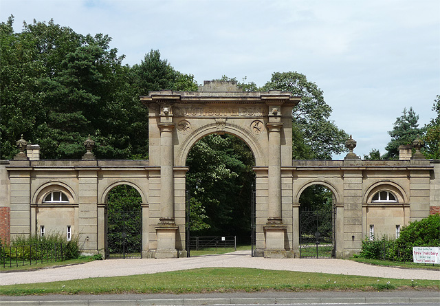
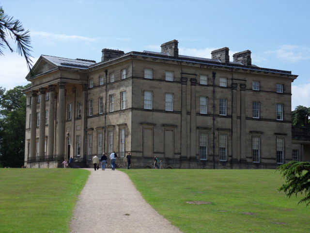
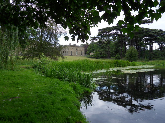
Attingham Park
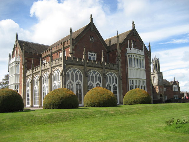
Attingham Park is an English country house and estate in Shropshire. Located near the village of Atcham, on the B4380 Shrewsbury to Wellington road. It...
Longner Hall
Longner Hall is a Grade I listed country house in Longner, Shropshire, England, some 2 miles (3 km) south-east of Shrewsbury in the civil parish of Atcham...

Cronkhill
Cronkhill, Atcham, Shropshire, designed by John Nash, is "the earliest Italianate villa in England".Drawing on influences from the Italian Campagna and...

Berwick Tunnel
Berwick Tunnel is a canal tunnel located on the Shrewsbury Canal, Shropshire, England, UK. == History == The Shrewsbury Canal connected Shrewsbury to the...
Nearby Amenities
Located within 500m of 52.684707,-2.687854Have you been to Atcham?
Leave your review of Atcham below (or comments, questions and feedback).