St Levan Sites

Heritage Site in Cornwall

England

St Levan Sites

The Minack Theatre The Minack Theatre, filling up before a performance.
The Minack Theatre Credit: Kevin Pearson

St Levan Sites, located in Cornwall, England, is a collection of heritage sites that hold significant historical and cultural value. Situated on the peninsula of Land's End, this area boasts a rich and diverse history spanning several centuries.

One of the prominent features of St Levan Sites is the ancient St Levan Church, a Grade II* listed building. This medieval church dates back to the 13th century and is known for its beautiful architecture and historical significance. With its distinctive granite exterior and intriguing interior, the church attracts both history enthusiasts and religious pilgrims.

Adjacent to the church, visitors can explore St Levan Holy Well, a sacred site believed to possess healing powers. This natural spring has been a place of worship and pilgrimage for centuries, steeped in local folklore and religious traditions. The well is surrounded by a tranquil garden, making it a peaceful spot for contemplation.

Furthermore, St Levan Sites also include the remains of St Levan's Chapel, which was built in the 15th century but has since fallen into ruins. Despite its dilapidated state, the chapel's remnants offer a glimpse into its former grandeur and serve as a reminder of the area's historical significance.

The St Levan Sites provide visitors with a unique opportunity to explore Cornwall's past and connect with its cultural heritage. The combination of the ancient church, holy well, and chapel ruins creates a captivating atmosphere that transports visitors back in time. Whether it's discovering the architectural marvels, delving into the spiritual significance, or simply enjoying the serene surroundings, St Levan Sites offer a truly enriching experience for all who visit.

If you have any feedback on the listing, please let us know in the comments section below.

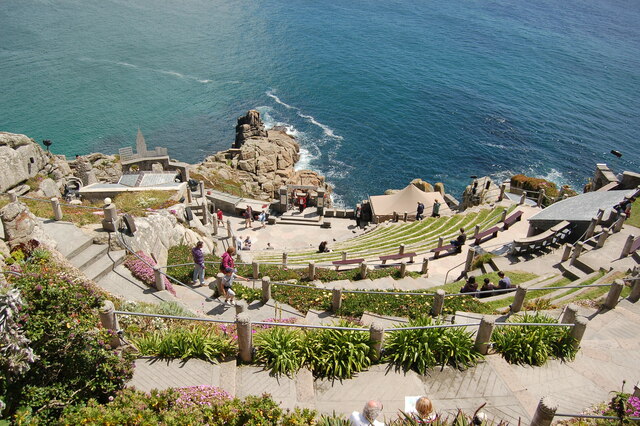
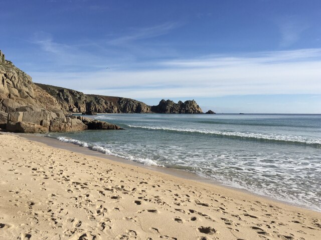
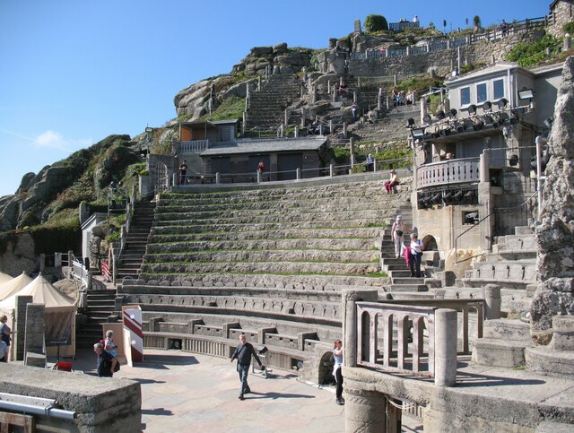
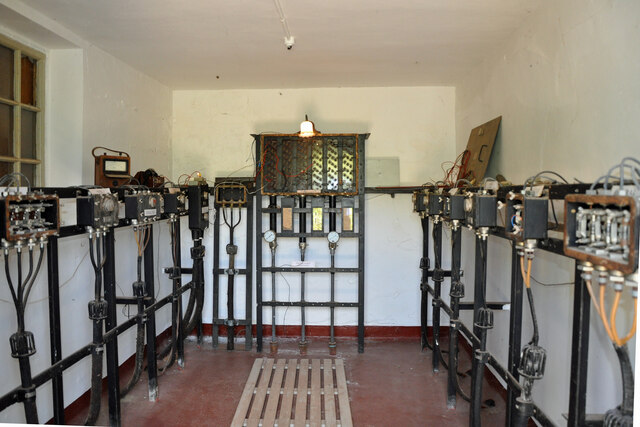
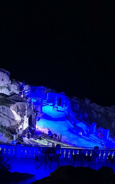
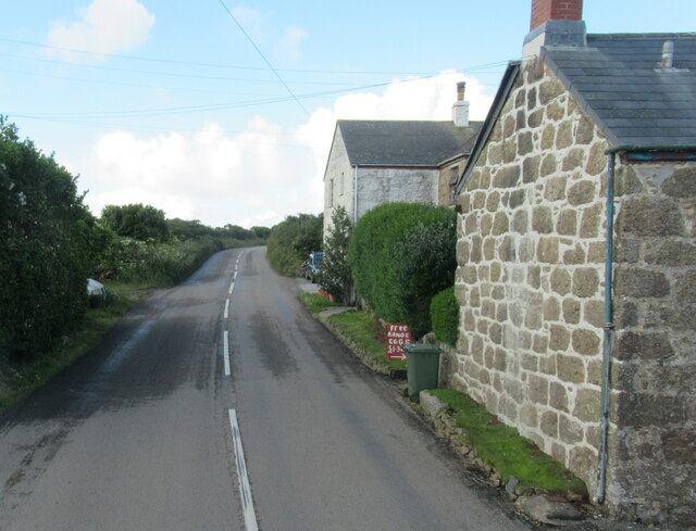
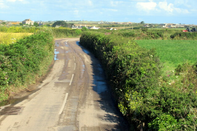
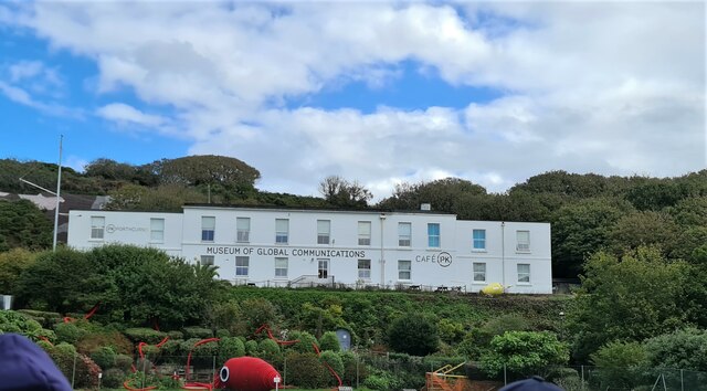
St Levan Sites Images

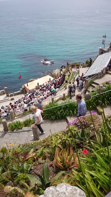
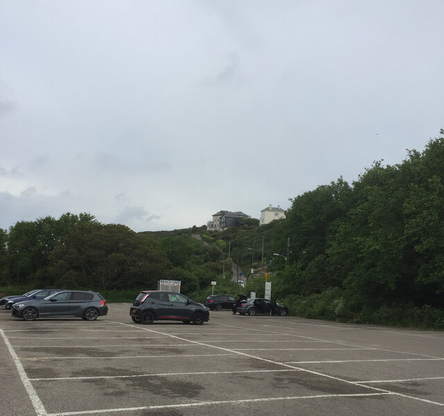
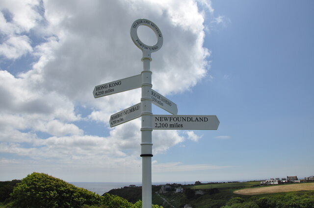
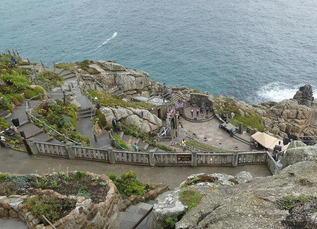
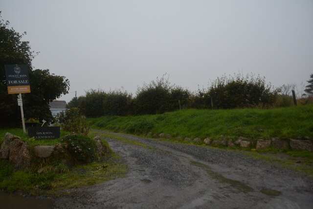
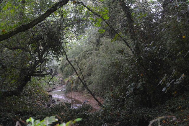
Images are sourced within 2km of 50.048/-5.63 or Grid Reference SW4022. Thanks to Geograph Open Source API. All images are credited.

The Minack Theatre The Minack Theatre, filling up before a performance.
The Minack Theatre
The Minack Theatre, filling up before a performance.
Porthcurno car park
Porthcurno car park
Signpost above the Telegraph Museum This post is on the top of the cliff above Porthcurno where the exit from the Telegraph Museum emerges.
Signpost above the Telegraph Museum
This post is on the top of the cliff above Porthcurno where the exit from the Telegraph Museum emerges.
Minack Theatre - Looking down to the stage Taken from high up, above the top row of seating at the Minack Theatre.
The four performers on the stage were rehearsing for the 'Last Night of the Proms'.
Minack Theatre - Looking down to the stage
Taken from high up, above the top row of seating at the Minack Theatre. The four performers on the stage were rehearsing for the 'Last Night of the Proms'.
Minack Open Air Theatre A view of the steeply descending amphitheatre at Minack Open Air Theatre.
Minack Open Air Theatre
A view of the steeply descending amphitheatre at Minack Open Air Theatre.
Beach at Porth Curno near Percella Point Looking towards Percella Point from the beach at Porth Curno.
Beach at Porth Curno near Percella Point
Looking towards Percella Point from the beach at Porth Curno.
Minack Theatre With the potential to be the most uncomfortable theatre in the country for those who come unprepared for what the Atlantic weather can throw across the stage; the spectacular location of the Minack Theatre set on granite cliffs overlooking Porthcurno bay guarantees it as a top tourist attraction.  Here we see the theatre on a benign September day with a handful of tourists enjoying a leisurely look around this unique venue.
Minack Theatre
With the potential to be the most uncomfortable theatre in the country for those who come unprepared for what the Atlantic weather can throw across the stage; the spectacular location of the Minack Theatre set on granite cliffs overlooking Porthcurno bay guarantees it as a top tourist attraction. Here we see the theatre on a benign September day with a handful of tourists enjoying a leisurely look around this unique venue.
Inside Porthcurno Cable Hut Porthcurno Cable Hut is where telegraph cables from all over the world terminated to be routed to UK destinations.  Equipment in this hut enabled engineers to test the various cable circuits before they were routed to the Cable Station on the cliff behind.
Inside Porthcurno Cable Hut
Porthcurno Cable Hut is where telegraph cables from all over the world terminated to be routed to UK destinations. Equipment in this hut enabled engineers to test the various cable circuits before they were routed to the Cable Station on the cliff behind.
Porthcurno beach facing south west
Looking down on the stage at the Minack Theatre at the end of the show
The B3283 at Sparnon
The B3315 near Trethewey
Museum of Global Communications, Porthcurno
Treen : Sparnon Farm Looking along a track to Sparnon Farmhouse.
Treen : Sparnon Farm
Looking along a track to Sparnon Farmhouse.
Treen : Penberth River Looking towards the Penberth River in the valley.
Treen : Penberth River
Looking towards the Penberth River in the valley.
Treen : Tretheway A house off Treen Hill.
Treen : Tretheway
A house off Treen Hill.
Porthcurno : WWII Cable Station An underground WWII cable station with a narrow thoroughfare.
Porthcurno : WWII Cable Station
An underground WWII cable station with a narrow thoroughfare.
Porthcurno : PK Porthcurno - WWII Cable Station A WWII bomb dropped nearby by the Luftwaffe and now on display at the museum, as well as a map showing other locations involved in the war.
Porthcurno : PK Porthcurno - WWII Cable Station
A WWII bomb dropped nearby by the Luftwaffe and now on display at the museum, as well as a map showing other locations involved in the war.
Show me another place!

St Levan Sites is located at Grid Ref: SW4022 (Lat: 50.048, Lng: -5.63)

Unitary Authority: Cornwall

Police Authority: Devon and Cornwall

What 3 Words

///solving.adapt.drips. Near St Buryan, Cornwall

Related Wikis

Penberth

Penberth (Cornish: Benbryhi) is a valley, coastal village and cove on the Penwith peninsula in Cornwall, England. It is approximately 7 miles (11 km) southwest...

Treen Cliff

Treen Cliff is a Site of Special Scientific Interest (SSSI) located on the Penwith Peninsula in Cornwall, England, UK, 6 miles (9.7 km) south-west of Penzance...

Treryn Dinas

Treryn Dinas is a headland near Treen, on the Penwith peninsula between Penberth Cove and Porthcurno in Cornwall, England. It is a scheduled monument,...

Treen, St Levan

Treen (Cornish: Tredhin) (grid reference SW3923) is a small village in the parish of St Levan, in the far west of Cornwall, England, United Kingdom. It...

Cripp's Cove

Cripp's Cove is a cove on the coast of west Cornwall, England, UK. The inlet is situated on the Logan Rock peninsula one mile (1.6 km) east of Porthcurno...
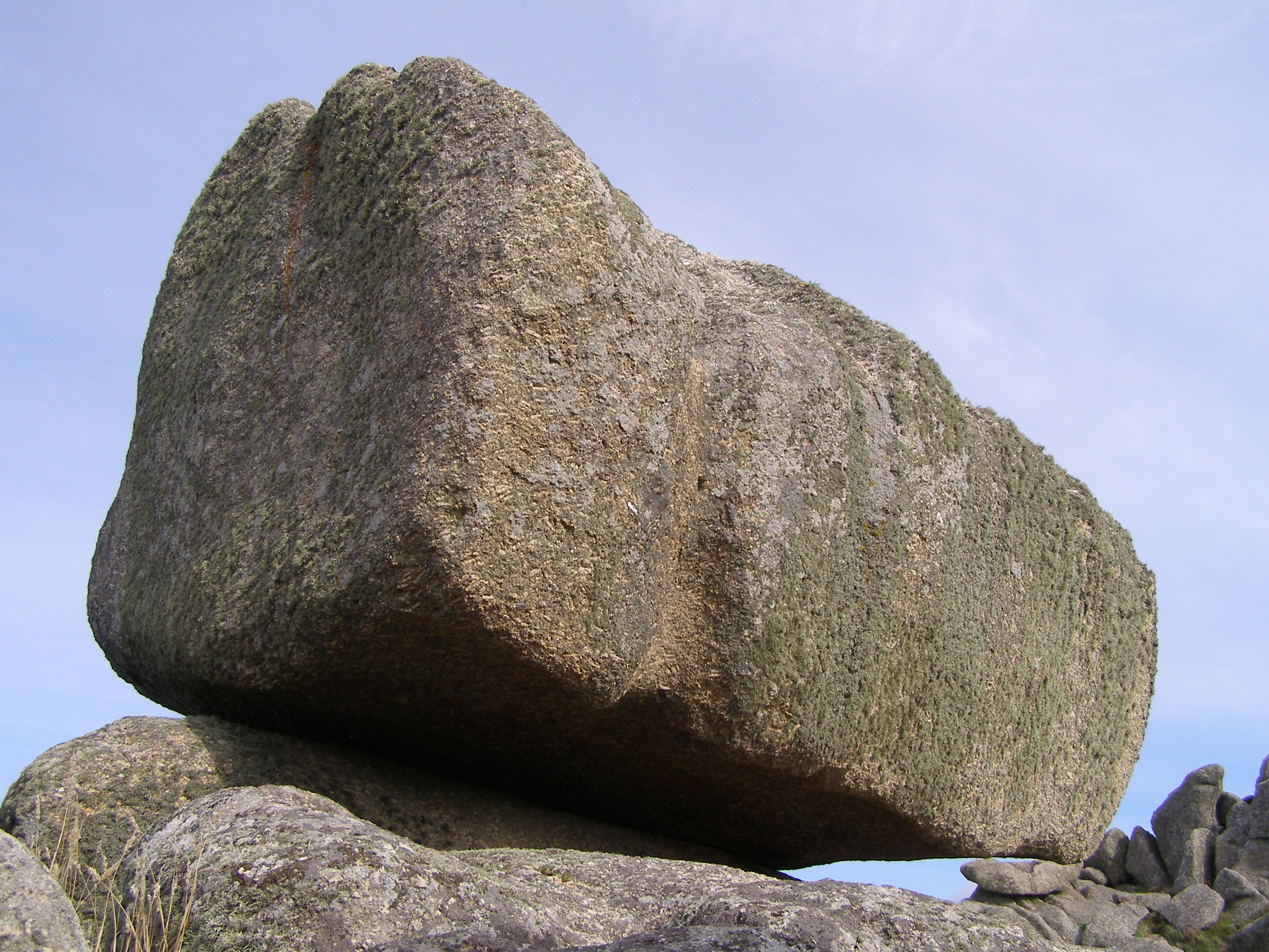
Logan Rock

The Logan Rock (Cornish: Men Omborth, meaning balanced stone) near the village of Treen in Cornwall, England, UK, is an example of a logan or rocking stone...
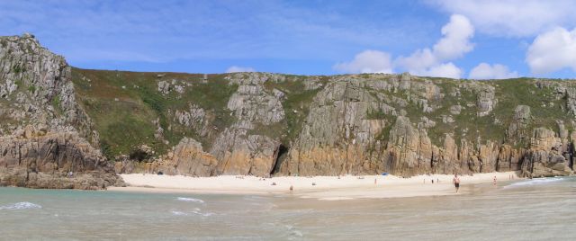
Pedn Vounder

Pedn Vounder (grid reference SW393223) is a tidal beach on the south coast of the Penwith peninsula in Cornwall, England. It is immediately to the west...

Sparnon

Sparnon is a small hamlet in the parish of St Buryan on the Penwith peninsula in Cornwall, England, United Kingdom. == References ==

Nearby Amenities

Located within 500m of 50.048,-5.63
Penberth
Name Kw: Benbryghi
Name Uk: Пенберт
Place: hamlet
Wikidata: Q7162276
Lat/Long: 50.0483785/-5.6303099
Penberth Cove
Place: locality
Lat/Long: 50.0473466/-5.629222
Penberth Capstan
Historic: capstan
Man Made: crane
Lat/Long: 50.0476631/-5.6296324
Telephone
Lat/Long: 50.0492317/-5.6310886
Post Box
Collection Times: Mo-Fr 10:30; Sa 10:30
Operator: Royal Mail
Post Box Type: wall
Ref: TR19 80
Royal Cypher: EIIR
Royal Cypher Wikidata: Q33102113
Source: survey
Survey Date: 2017-10-24
Lat/Long: 50.0492113/-5.6310938
Barrier: kissing_gate
Lat/Long: 50.0473669/-5.6298579
Bench
Backrest: yes
Survey Date: 2022-05-28
Lat/Long: 50.0477909/-5.6294416
Tourism: viewpoint
Lat/Long: 50.0478126/-5.6265506
Ford: yes
Lat/Long: 50.0478671/-5.6298291
Barrier: stile
Lat/Long: 50.0492229/-5.6346268
Access: permissive
Barrier: stile
Foot: permissive
Lat/Long: 50.0508162/-5.6294725
Barrier: stile
Lat/Long: 50.050766/-5.6310547
Power: pole
Transformer: distribution
Lat/Long: 50.049122/-5.6330842
Power: pole
Lat/Long: 50.0493623/-5.6336193
Power: pole
Lat/Long: 50.0496155/-5.6342107
Power: pole
Lat/Long: 50.0498729/-5.6348169
Power: pole
Lat/Long: 50.0501743/-5.6355049
The data included in this document is from www.openstreetmap.org. The data is made available under ODbL.

Have you been to St Levan Sites?

Leave your review of St Levan Sites below (or comments, questions and feedback).