Poulton Court

Heritage Site in Gloucestershire Forest of Dean

England

Poulton Court

Farmland, Awre Picture taken from the Severn Way across farmland to the River Severn itself.
Farmland, Awre Credit: Stuart Wilding

Poulton Court is a historic manor house located in the picturesque village of Poulton, Gloucestershire, in the southwest of England. This heritage site is renowned for its architectural significance and rich history, dating back to the 14th century.

The manor house features a stunning combination of medieval and Tudor architectural styles. Its stone walls, mullioned windows, and intricate carvings showcase the craftsmanship of the era. The property also boasts a beautifully landscaped garden, complete with a lily-filled pond and a tranquil orchard.

Originally built as a fortified manor house, Poulton Court has witnessed various transformations throughout its existence. Over the centuries, it has been home to notable families, including the Berkeleys and the Blathwayts. The house itself has undergone several renovations, blending the original medieval structure with subsequent additions from the Tudor and Victorian periods.

Visitors to Poulton Court can explore its stunning interiors, which have been meticulously restored to reflect its past grandeur. The Great Hall with its impressive fireplace and wooden beams, the oak-paneled drawing room, and the charming bedrooms offer a glimpse into the lives of the manor's former inhabitants.

In addition to its architectural significance, Poulton Court is also known for its historical significance. It played a role in the English Civil War and has been associated with notable historical figures, including King Henry VIII and Elizabeth I.

Today, Poulton Court is a cherished heritage site that offers guided tours, special events, and private functions. Its captivating blend of history, architecture, and natural beauty makes it a must-visit destination for history enthusiasts and architectural admirers alike.

If you have any feedback on the listing, please let us know in the comments section below.

Poulton Court Images

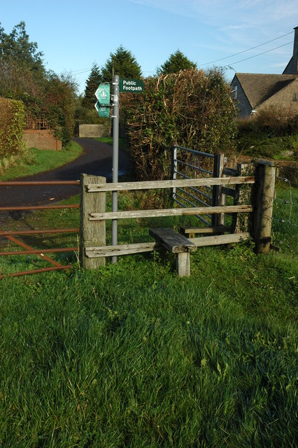
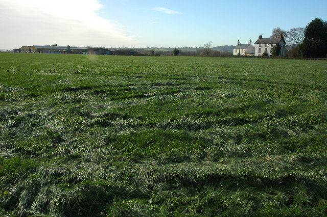
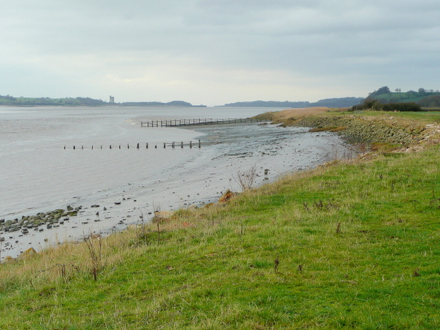
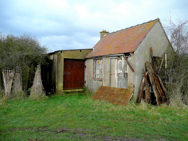
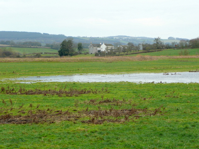
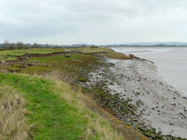
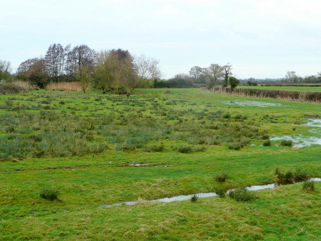
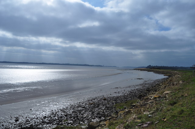
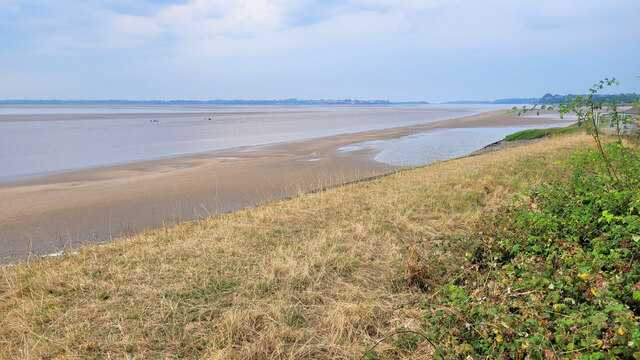
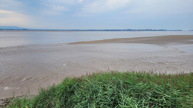
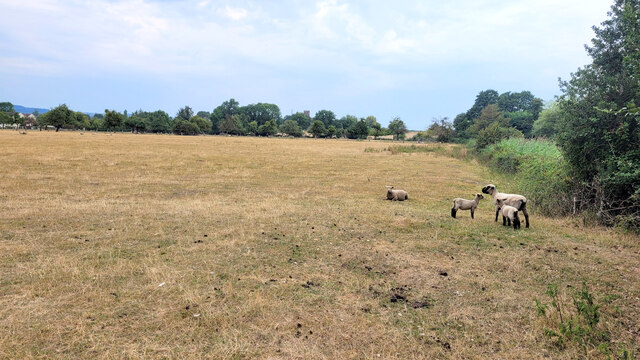
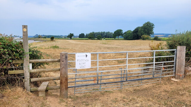
Images are sourced within 2km of 51.755/-2.442 or Grid Reference SO6906. Thanks to Geograph Open Source API. All images are credited.

Farmland, Awre Picture taken from the Severn Way across farmland to the River Severn itself.
Farmland, Awre
Picture taken from the Severn Way across farmland to the River Severn itself.
Severn bank near Awre Looking north-east, erosion is a factor with this stretch of the estuary's north coast.
Severn bank near Awre
Looking north-east, erosion is a factor with this stretch of the estuary's north coast.
North bank of the Severn With the remains of an old groyne being uncovered in receding tide.
In the distance right is Berkeley Power Station.
Thanks to a suggestion by another member.
A minor amendment to the description, this is in fact the remains of a salmon fishing putcher rank or a fix engine for salmon fishing.
(May 2012)
North bank of the Severn
With the remains of an old groyne being uncovered in receding tide. In the distance right is Berkeley Power Station. Thanks to a suggestion by another member. A minor amendment to the description, this is in fact the remains of a salmon fishing putcher rank or a fix engine for salmon fishing. (May 2012)
Country road approaching Awre The tower of St Andrew's church can be seen in the background.
Country road approaching Awre
The tower of St Andrew's church can be seen in the background.
Stile and footpath sign, Awre The footpath indicates this is the route of the Severn Way, however, the official route is on the east bank of the river.
Stile and footpath sign, Awre
The footpath indicates this is the route of the Severn Way, however, the official route is on the east bank of the river.
Farmland at Awre Farmland and Hall Farm, Awre.
Farmland at Awre
Farmland and Hall Farm, Awre.
Severn bank at Awre Looking down the estuary towards Berkeley Power Station in the distance.
Severn bank at Awre
Looking down the estuary towards Berkeley Power Station in the distance.
Fishing hut by the Severn In a fairly dilapidated state.
Fishing hut by the Severn
In a fairly dilapidated state.
View to Ripple House Looking inland from the Severn embankment.
The Forest of Dean rises in the distance.
View to Ripple House
Looking inland from the Severn embankment. The Forest of Dean rises in the distance.
Eroding Severn bank Looking east with the Arlingham peninsula on the other side of the estuary.
Eroding Severn bank
Looking east with the Arlingham peninsula on the other side of the estuary.
Floodmeadow by the Severn Looking inland from the same point as <a href="https://www.geograph.org.uk/photo/2237934">SO7107 : Eroding Severn bank</a>.
Floodmeadow by the Severn
Looking inland from the same point as SO7107 : Eroding Severn bank.
River Severn at Awre taken from a public footpath in farmland
River Severn at Awre
taken from a public footpath in farmland
Sea wall near Awre The Severn estuary stretches away towards the Bristol Channel.
In the channel centre left are six surfboarders awaiting the approaching Bore which can be heard but hardly seen from this position.
A drama is about to unfold before the fortunate photographer's smart phone.
Sea wall near Awre
The Severn estuary stretches away towards the Bristol Channel. In the channel centre left are six surfboarders awaiting the approaching Bore which can be heard but hardly seen from this position. A drama is about to unfold before the fortunate photographer's smart phone.
Surfing the Bore, 1 Six people (one is out of shot to the left) are in position to let this morning's bore take them upstream towards Newnham.
Time is 09:27:31
Next photo: <a href="https://www.geograph.org.uk/photo/7256236">SO7107 : Surfing the Bore, 2</a>
Surfing the Bore, 1
Six people (one is out of shot to the left) are in position to let this morning's bore take them upstream towards Newnham. Time is 09:27:31 Next photo: SO7107 : Surfing the Bore, 2
Surfing the Bore, 2 Six people (one is out of shot to the left) are in position to let this morning's bore take them upstream towards Newnham.
09:27:39
Next Photo: <a href="https://www.geograph.org.uk/photo/7256237">SO7107 : Surfing the Bore, 3</a>
Surfing the Bore, 2
Six people (one is out of shot to the left) are in position to let this morning's bore take them upstream towards Newnham. 09:27:39 Next Photo: SO7107 : Surfing the Bore, 3
Severn estuary, incoming tide The sand banks are rapidly being covered.
Severn estuary, incoming tide
The sand banks are rapidly being covered.
Sheep in parched pastures These resilient creatures are surviving on very dry pasture in the summer of 2022.
St. Andrew's church tower can be seen in the centre distance.
Sheep in parched pastures
These resilient creatures are surviving on very dry pasture in the summer of 2022. St. Andrew's church tower can be seen in the centre distance.
Stile and gate The path deviates away from the sea wall by White's Court Farm.
The field ahead looks to be a temporary camp site.
Stile and gate
The path deviates away from the sea wall by White's Court Farm. The field ahead looks to be a temporary camp site.
Show me another place!

Poulton Court is located at Grid Ref: SO6906 (Lat: 51.755, Lng: -2.442)

Administrative County: Gloucestershire

District: Forest of Dean

Police Authority: Gloucestershire

What 3 Words

///sparkle.divisible.factories. Near Sharpness, Gloucestershire

Nearby Locations

Brims Pill Poulton Court

Related Wikis

Awre for Blakeney railway station

Awre for Blakeney railway station is a closed railway station in Gloucestershire, England, which served both the village of Awre and the town of Blakeney...

Awre

Awre () is a village, civil parish and electoral ward in the Forest of Dean District of Gloucestershire, England, near the River Severn. Both the parish...

Berkeley Arms, Purton

The Berkeley Arms is a public house at Purton, Gloucestershire GL13 9HU. It is on the Campaign for Real Ale's National Inventory of Historic Pub Interiors...

Purton, Berkeley

Purton is a village on the east bank of the River Severn, 3 miles north of Berkeley, in Gloucestershire, England. The village is in the civil parish of...

Nearby Amenities

Located within 500m of 51.755,-2.442
Source: PGS
Lat/Long: 51.7532556/-2.4478514
Source: PGS
Lat/Long: 51.7534814/-2.4474222
Source: PGS
Lat/Long: 51.7537737/-2.4468751
Source: PGS
Lat/Long: 51.7542585/-2.4461133
Source: PGS
Lat/Long: 51.7545574/-2.4456305
Source: PGS
Lat/Long: 51.7549426/-2.4450082
Source: PGS
Lat/Long: 51.755175/-2.4446006
Source: PGS
Lat/Long: 51.7560185/-2.4431951
Source: PGS
Lat/Long: 51.7563287/-2.4426731
Source: PGS
Lat/Long: 51.7567557/-2.4421115
Source: PGS
Lat/Long: 51.7570279/-2.4416072
Source: PGS
Lat/Long: 51.7572139/-2.4413068
Source: PGS
Lat/Long: 51.7574397/-2.4408991
Source: PGS
Lat/Long: 51.7576881/-2.4404932
Source: PGS
Lat/Long: 51.758254/-2.439393
Source: PGS
Lat/Long: 51.7587484/-2.438566
The data included in this document is from www.openstreetmap.org. The data is made available under ODbL.

Have you been to Poulton Court?

Leave your review of Poulton Court below (or comments, questions and feedback).