Brims Pill
Sea, Estuary, Creek in Gloucestershire Forest of Dean
England
Brims Pill
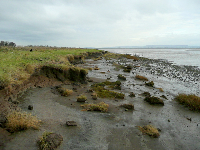
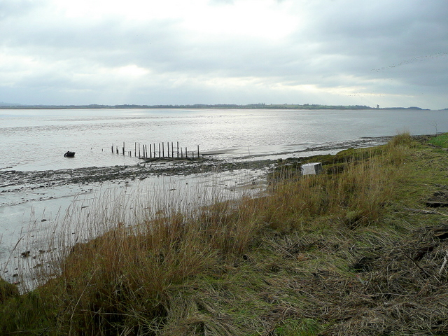
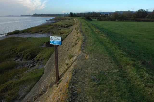
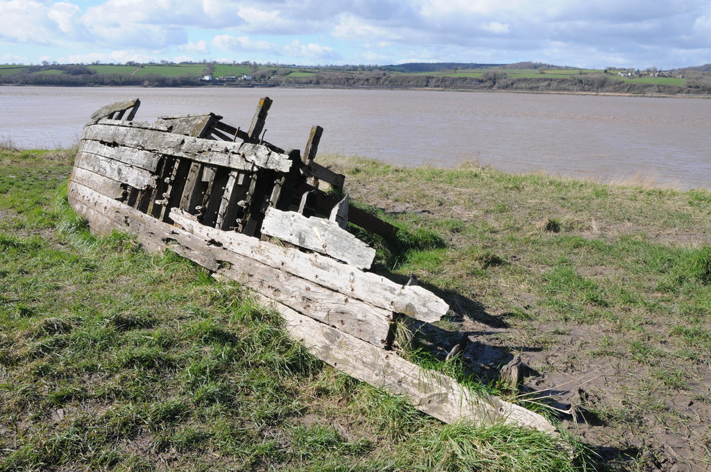
Brims Pill is a small water body located in Gloucestershire, England. It is situated in the southern part of the county, close to the town of Lydney. Brims Pill is a tidal creek that connects with the Severn Estuary, which ultimately leads to the Bristol Channel.
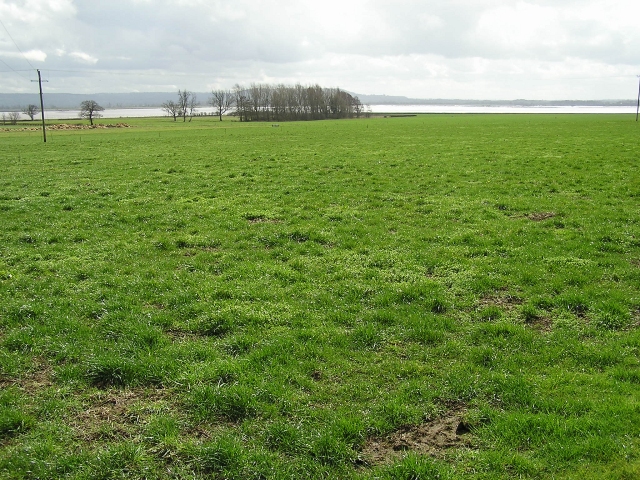
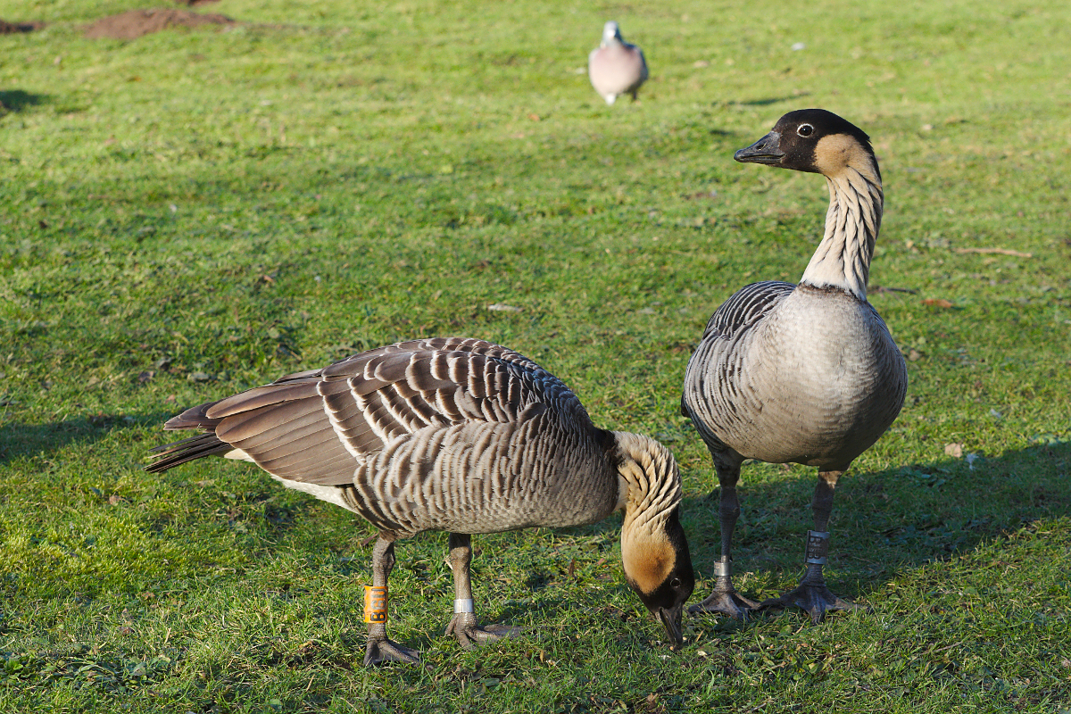
The area surrounding Brims Pill is primarily marshland, characterized by its rich biodiversity and natural beauty. During high tide, the creek fills with seawater, creating a peaceful and serene environment. As the tide recedes, the water level drops, revealing vast mudflats that are home to a variety of bird species, such as curlews, oystercatchers, and sandpipers.
The creek itself is relatively narrow, winding through the marshes until it reaches the estuary. It provides a habitat for various marine creatures, including fish and crustaceans, which thrive in its brackish waters. The marshes and reedbeds surrounding Brims Pill also support a diverse array of plant life, including reeds, grasses, and salt-tolerant vegetation.
Brims Pill is a popular destination for nature enthusiasts, birdwatchers, and photographers, who are attracted to its tranquil atmosphere and the opportunity to observe wildlife in its natural habitat. The area is also used for recreational activities such as walking and fishing.
Overall, Brims Pill is a picturesque and ecologically important waterway, offering visitors a chance to experience the unique and diverse ecosystem that thrives in this estuarine environment.
If you have any feedback on the listing, please let us know in the comments section below.
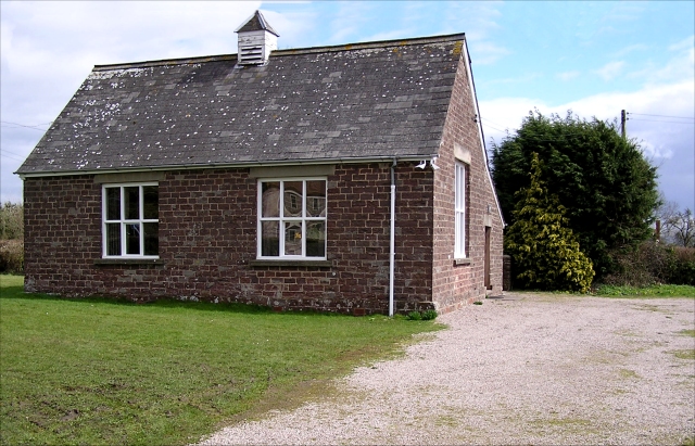
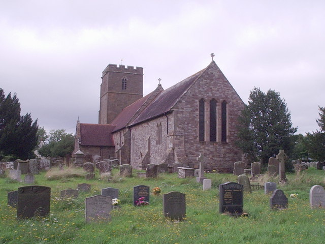
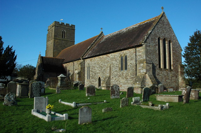
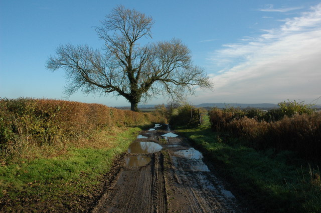
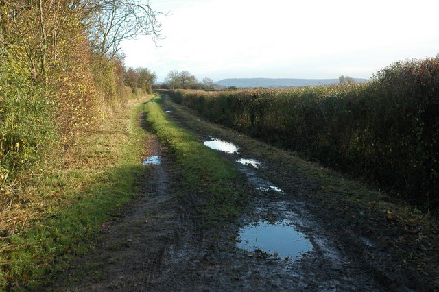
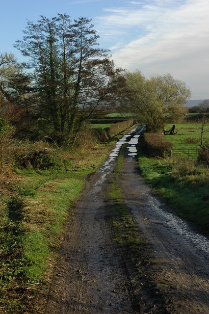
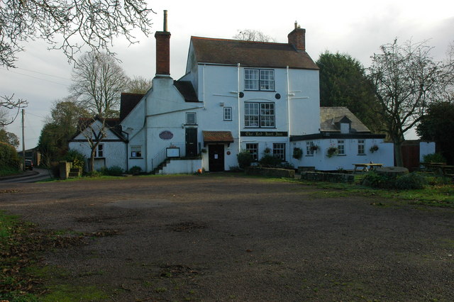
Brims Pill Images
Images are sourced within 2km of 51.759427/-2.4383631 or Grid Reference SO6906. Thanks to Geograph Open Source API. All images are credited.


Brims Pill is located at Grid Ref: SO6906 (Lat: 51.759427, Lng: -2.4383631)
Administrative County: Gloucestershire
District: Forest of Dean
Police Authority: Gloucestershire
What 3 Words
///shampoos.dots.fees. Near Frampton on Severn, Gloucestershire
Nearby Locations
Related Wikis


Nearby Amenities
Located within 500m of 51.759427,-2.4383631Have you been to Brims Pill?
Leave your review of Brims Pill below (or comments, questions and feedback).