Steinshell Burn
Sea, Estuary, Creek in Angus
Scotland
Steinshell Burn
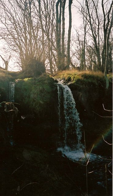
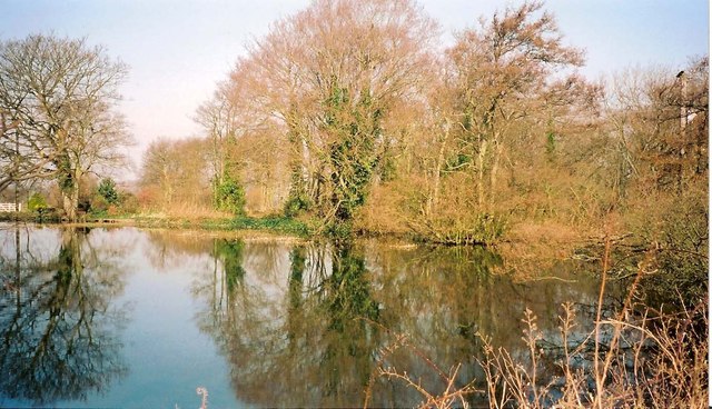
Steinshell Burn is a small waterbody located in Angus, Scotland. It can be classified as a creek as it is a narrow and shallow water channel that runs between the land, connecting to the sea. The burn flows through the village of Ferryden before eventually emptying into the North Sea.
The Steinshell Burn is approximately 2 kilometers long, and its flow is influenced by the tides of the North Sea. During high tide, the sea water flows upstream, filling the burn and creating an estuary-like environment. This tidal influence makes the burn a unique ecosystem, supporting a diverse range of flora and fauna.
The burn is surrounded by lush green vegetation, including reeds, grasses, and shrubs. These provide important habitats for various bird species, such as ducks, geese, and wading birds. The water itself is home to a variety of aquatic life, including fish, crabs, and mollusks.
The Steinshell Burn is also a popular spot for recreational activities such as fishing and birdwatching. Anglers often visit the burn to catch fish like salmon and trout, particularly during the salmon run season.
Overall, Steinshell Burn is a picturesque waterbody in Angus, offering a tranquil and scenic environment for both wildlife and humans to enjoy. Its unique tidal influence and diverse ecosystem make it an important and valuable natural feature in the area.
If you have any feedback on the listing, please let us know in the comments section below.
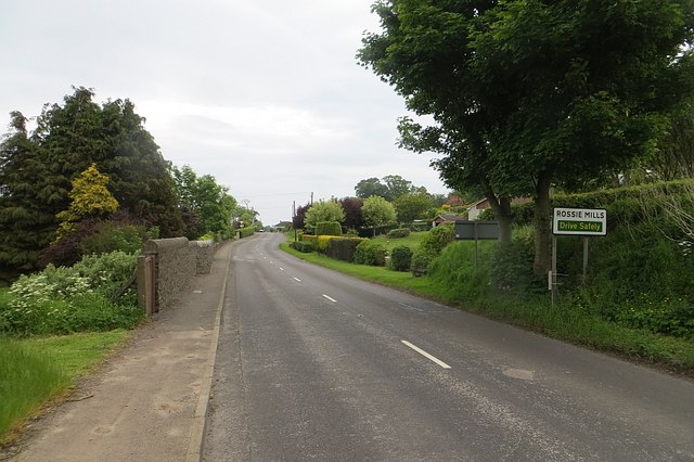
Steinshell Burn Images
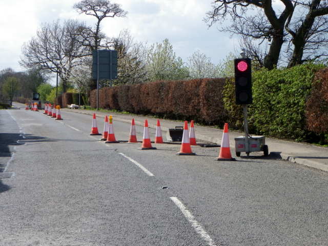
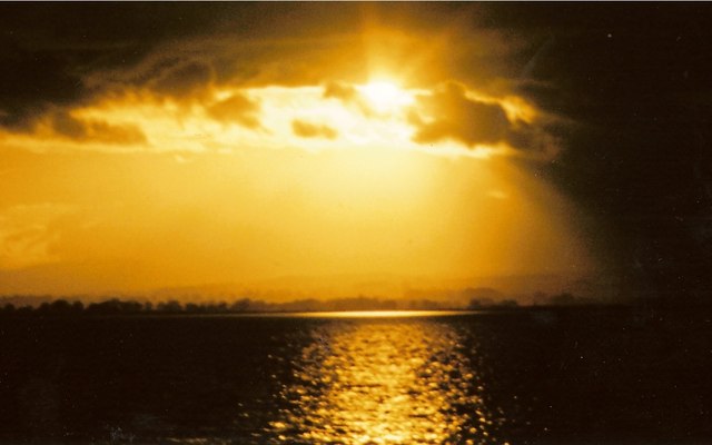
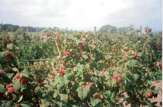
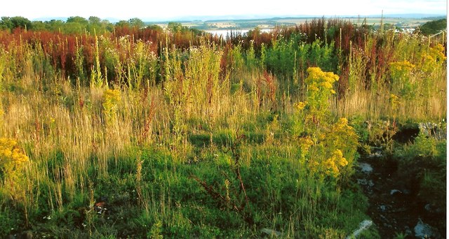
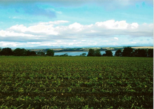
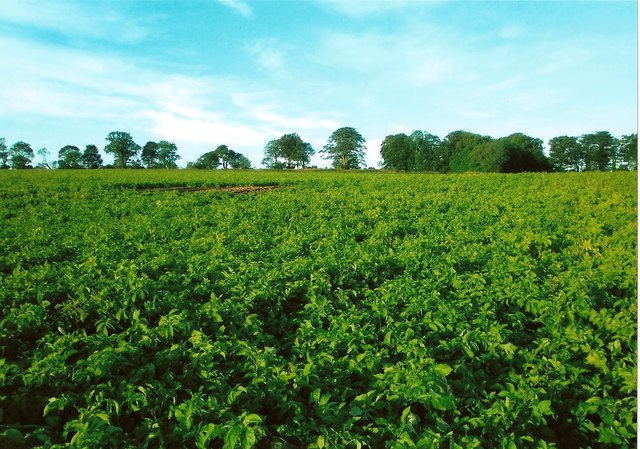
Images are sourced within 2km of 56.708802/-2.4967862 or Grid Reference NO6957. Thanks to Geograph Open Source API. All images are credited.


Steinshell Burn is located at Grid Ref: NO6957 (Lat: 56.708802, Lng: -2.4967862)
Unitary Authority: Angus
Police Authority: Tayside
What 3 Words
///icons.tensions.motorist. Near Montrose, Angus
Nearby Locations
Related Wikis

Montrose Basin
Montrose Basin is a nearly circular tidal basin which makes up part of the estuary of the River South Esk and which sits just inland of the town of Montrose...

Montrose Royal Infirmary
Montrose Royal Infirmary was a health facility in Bridge Street, Montrose, Angus, Scotland. It was managed by NHS Tayside. It is a Category A listed building...

Montrose Castle
Montrose Castle was a 12th-century castle built in Montrose, Angus, Scotland. Montrose was created a royal burgh by King David I of Scotland in the 12th...
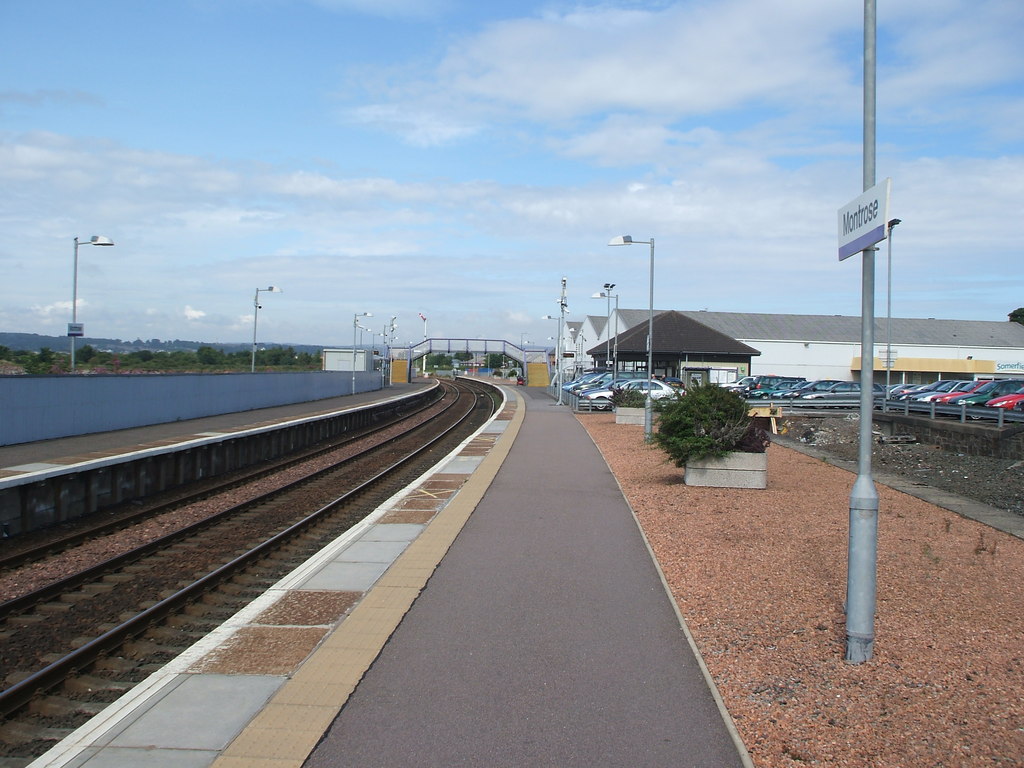
Montrose railway station
Montrose railway station serves the town of Montrose in Angus, Scotland. The station overlooks the Montrose Basin and is situated on the Dundee–Aberdeen...
Have you been to Steinshell Burn?
Leave your review of Steinshell Burn below (or comments, questions and feedback).