Poundbury
Heritage Site in Dorset
England
Poundbury
Poundbury, located in the county of Dorset, England, is a heritage site known for its unique urban planning and architectural design. Developed under the guidance of Prince Charles, Poundbury represents a modern interpretation of traditional British town planning principles.
Spread across an area of approximately 400 acres, Poundbury was designed as a mixed-use development with residential, commercial, and public spaces seamlessly integrated into its fabric. The town follows the principles of the "Duchy of Cornwall's Constitution for Poundbury," which emphasize sustainable development, community engagement, and architectural harmony.
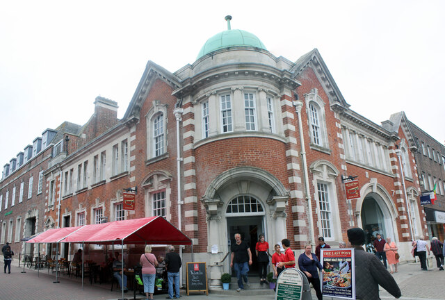
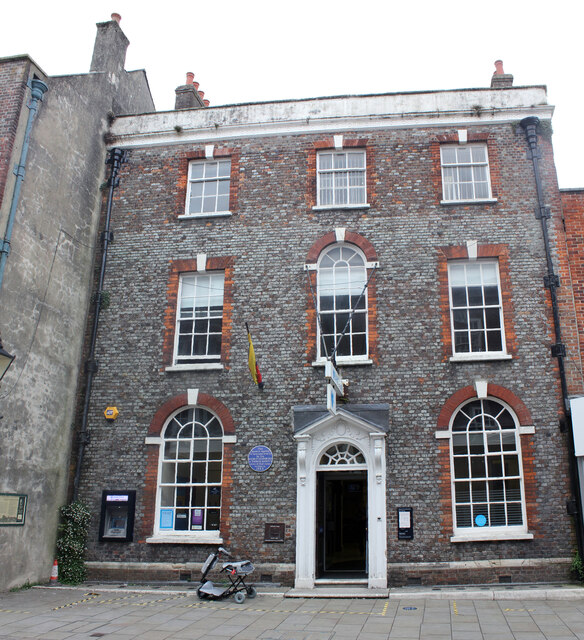
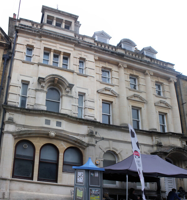
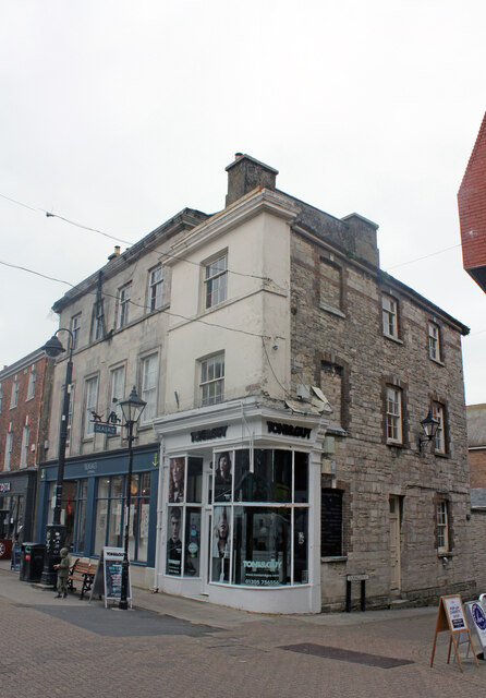
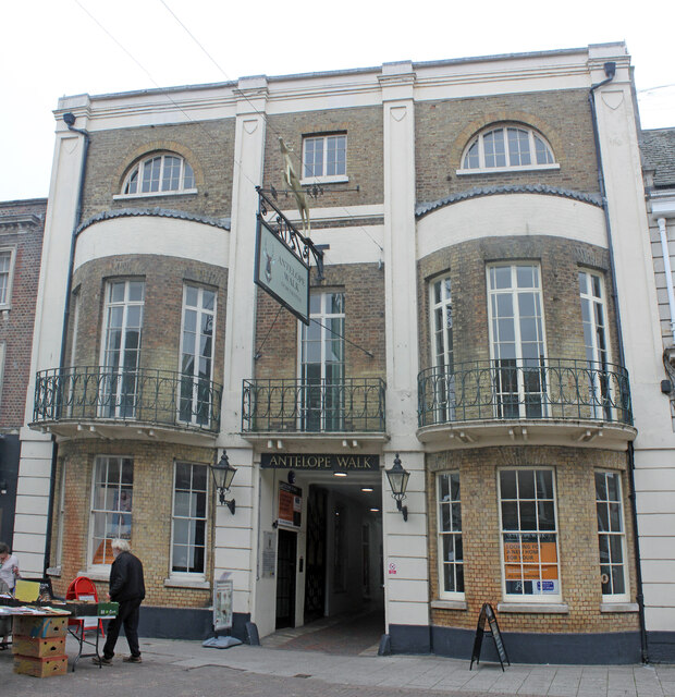
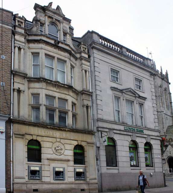
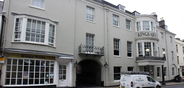
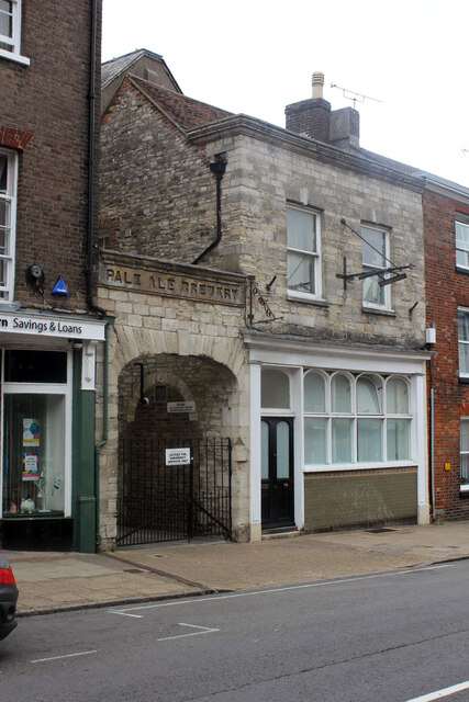
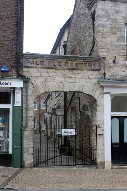
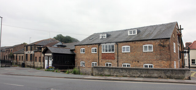
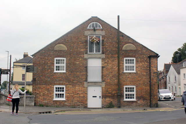
The architectural style of Poundbury reflects traditional British architecture, with an emphasis on classical design elements such as pitched roofs, stone facades, and ornate detailing. The buildings are constructed using locally sourced materials, giving Poundbury a distinct sense of place and a connection to the surrounding natural environment.
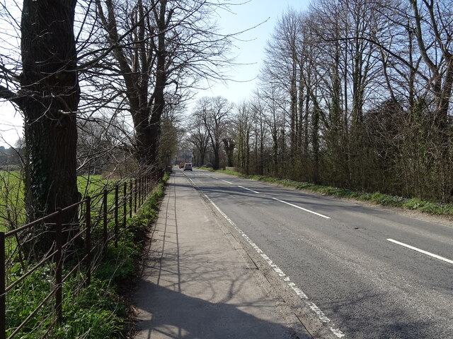
The town features a variety of amenities and facilities, including shops, cafes, offices, schools, and public spaces. The streets of Poundbury are designed to prioritize pedestrians and cyclists, with traffic-calming measures and ample green spaces. The emphasis on walkability and community interaction fosters a sense of belonging and encourages social interaction among residents.
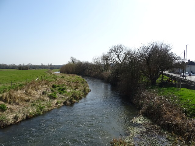
Poundbury has received international recognition for its innovative approach to urban planning and design. It serves as a model for sustainable development, incorporating environmentally friendly practices such as rainwater harvesting, energy-efficient buildings, and green spaces.
Overall, Poundbury represents a successful example of a modern, sustainable community that seamlessly blends traditional architectural styles with contemporary urban planning principles. It has become a popular destination for visitors and serves as an inspiration for future developments striving to achieve a similar balance between heritage and innovation.
If you have any feedback on the listing, please let us know in the comments section below.
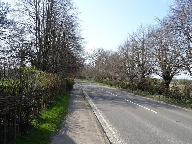
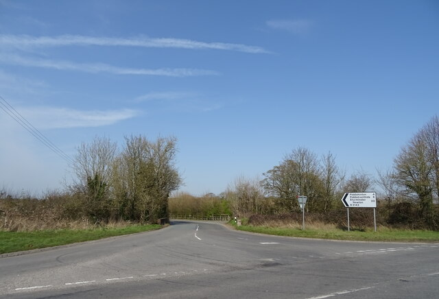
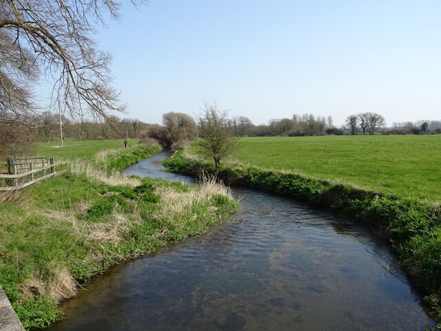
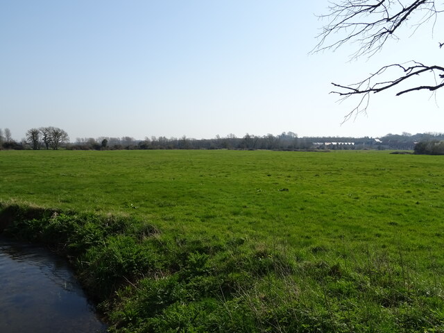
Poundbury Images
Images are sourced within 2km of 50.722/-2.447 or Grid Reference SY6891. Thanks to Geograph Open Source API. All images are credited.
Poundbury is located at Grid Ref: SY6891 (Lat: 50.722, Lng: -2.447)
Unitary Authority: Dorset
Police Authority: Dorset
What 3 Words
///cares.frightens.treetop. Near Dorchester, Dorset
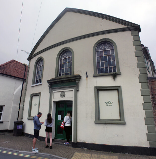
Related Wikis

Poundbury Hill
Poundbury Hill (grid reference SY682911) is the site of a scheduled Prehistoric and Roman archaeological remains and includes evidence of a Neolithic settlement...

Town Walks, Dorchester
The Town Walks are a series of public walks in Dorchester, Dorset, England, along the former Roman defences of the town. == Description == === History... ===
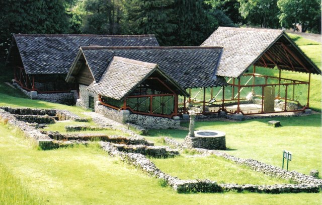
Roman Town House, Dorchester
The Roman Town House in Dorchester is a Roman ruin within Colliton Park, Dorchester, Dorset, England. Dorset County Council acquired Colliton Park in 1933...

Christ Church, Dorchester
Christ Church was a Church of England church in West Fordington, Dorchester, Dorset, England. It was built in 1845–46 and demolished in 1933. == History... ==

County Hall, Dorchester
The County Hall is a municipal facility at Colliton Park in Dorchester, Dorset, England. == History == In the early 20th century Shire Hall in Dorchester...

Dorset County Council
Dorset County Council (DCC) was the county council for the county of Dorset in England. It provided the upper tier of local government, below which were...
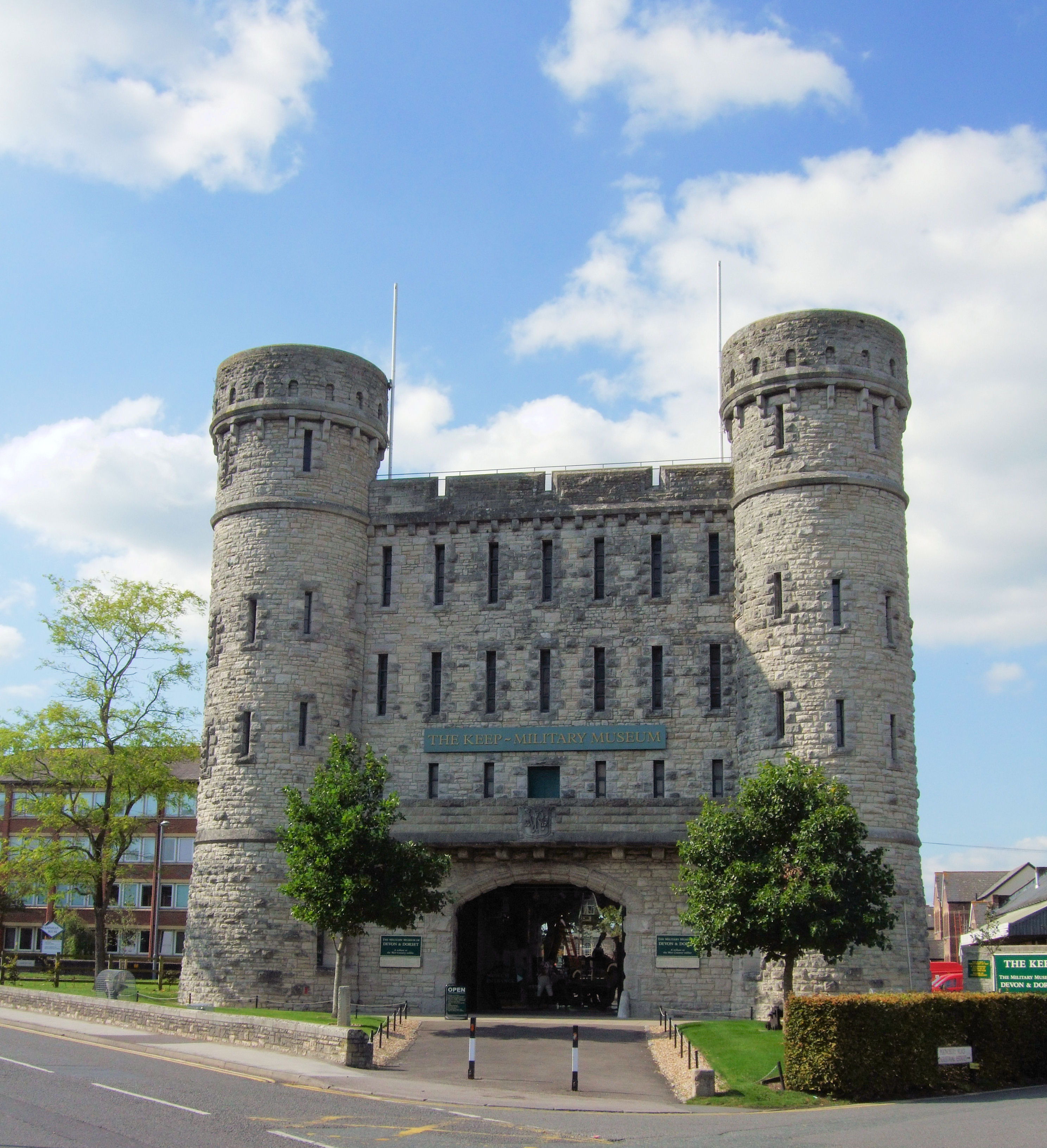
The Keep, Dorchester
The Keep, Dorchester is part of the former county barracks of the 39th (Dorsetshire) Regiment of Foot and the 75th (Stirlingshire) Regiment of Foot. The...

Thomas Hardy Statue
Thomas Hardy Statue is a statue of Thomas Hardy, located at Dorchester, Dorset, England. It was funded by public subscription to commemorate Hardy's life...
Nearby Amenities
Located within 500m of 50.722,-2.447Have you been to Poundbury?
Leave your review of Poundbury below (or comments, questions and feedback).