Penyfynwent

Heritage Site in Anglesey

Wales

Penyfynwent

Great opencast from the viewing point on Parys Mountain Copper ore has been mined here from the early Bronze Age.
Great opencast from the viewing point on Parys Mountain Credit: Richard Hoare

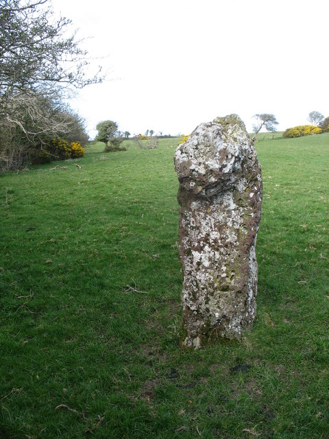
Penyfynwent, located in Anglesey, Wales, is a heritage site that holds historical significance dating back to the Neolithic period. The site is home to a collection of burial chambers, known as cromlechs, which were used by ancient peoples for burial rituals. These chambers are constructed from large stones arranged in a circular or rectangular shape, with a capstone placed on top to create a chamber-like structure.

The cromlechs at Penyfynwent are believed to have been built around 4000-3000 BC, making them some of the oldest surviving structures in the area. The site is surrounded by a peaceful landscape, with stunning views of the surrounding countryside.

Visitors to Penyfynwent can explore the ancient burial chambers and learn about the history and significance of the site through informational plaques and guided tours. The site provides a unique opportunity to connect with the past and gain insight into the lives and customs of the people who inhabited the area thousands of years ago.

Overall, Penyfynwent offers a fascinating glimpse into the ancient history of Anglesey and is a must-visit destination for history enthusiasts and anyone interested in exploring the rich cultural heritage of Wales.

If you have any feedback on the listing, please let us know in the comments section below.
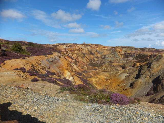
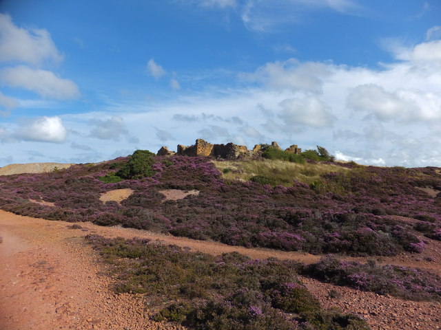
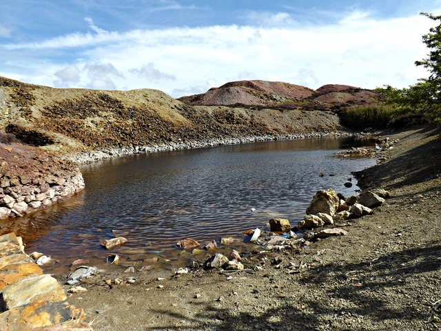
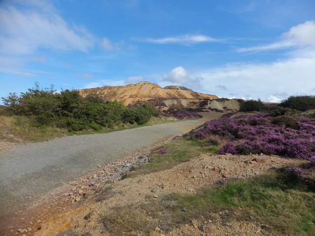
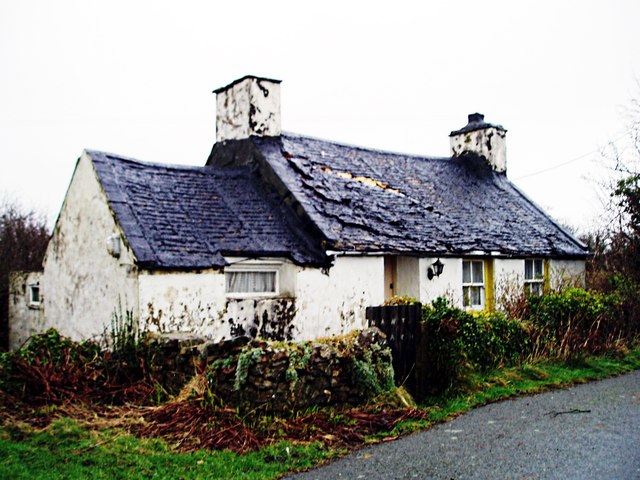
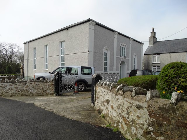
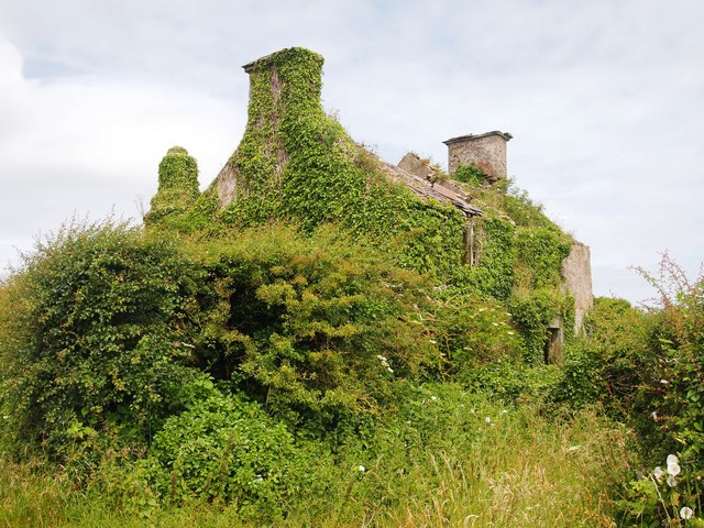
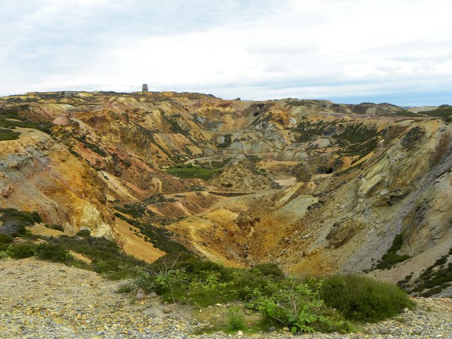
Penyfynwent Images

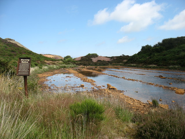
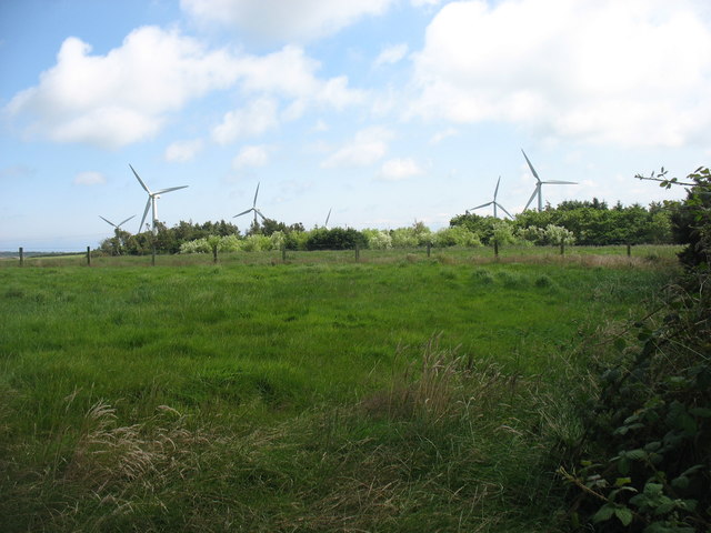
Images are sourced within 2km of 53.37/-4.352 or Grid Reference SH4388. Thanks to Geograph Open Source API. All images are credited.

Great opencast from the viewing point on Parys Mountain Copper ore has been mined here from the early Bronze Age.
Great opencast from the viewing point on Parys Mountain
Copper ore has been mined here from the early Bronze Age.
Ruins of Mona Mine Yard Originally the offices, smithy, mortuary and stores were the focus of the mine's surface activities.
Ruins of Mona Mine Yard
Originally the offices, smithy, mortuary and stores were the focus of the mine's surface activities.
Sampling Pool located at Parys Mountain The sampling pools would have been able to collect up to 50 tonnes per year of dissolved copper which was recovered by precipitation in addition to scrap iron.
Sampling Pool located at Parys Mountain
The sampling pools would have been able to collect up to 50 tonnes per year of dissolved copper which was recovered by precipitation in addition to scrap iron.
Track on Parys Mountain The heather is starting to come to the fore adding to the colours of the scenery.
Track on Parys Mountain
The heather is starting to come to the fore adding to the colours of the scenery.
Sampling pool The sampling pools would have been able to collect up to 50 tonnes per year of dissolved copper which was recovered by precipitation in addition to scrap iron
Sampling pool
The sampling pools would have been able to collect up to 50 tonnes per year of dissolved copper which was recovered by precipitation in addition to scrap iron
This Morris has lost its bonnet The engine is also missing so, no chance of a 'bump' start.
This Morris has lost its bonnet
The engine is also missing so, no chance of a 'bump' start.
War memorial and clock tower, Rhosybol In the grounds of Ysgol Gymuned Rhosybol / Rhosybol Primary School.
The memorial is unusual in that it only shows the names of those who fell in the First World War and not those in the Second.
The Inscription reads
"Great War 1914-1918. This memorial was erected to remember the heroes of this parish who gave their lives in sacrifice for their country, justice and freedom".
War memorial and clock tower, Rhosybol
In the grounds of Ysgol Gymuned Rhosybol / Rhosybol Primary School. The memorial is unusual in that it only shows the names of those who fell in the First World War and not those in the Second. The Inscription reads "Great War 1914-1918. This memorial was erected to remember the heroes of this parish who gave their lives in sacrifice for their country, justice and freedom".
Bethania chapel, Rhosybol The Bethania Independent cause began in 1883 and the chapel was completed in the following year, but has long since closed.
Fellow Geographer, Eric Jones, featured it in 2009 <a href="https://www.geograph.org.uk/photo/1402389">SH4288 : Capel Bethania, Rhosybol</a> when apparently an application was to be made to convert into a dwelling.
Bethania chapel, Rhosybol
The Bethania Independent cause began in 1883 and the chapel was completed in the following year, but has long since closed. Fellow Geographer, Eric Jones, featured it in 2009 SH4288 : Capel Bethania, Rhosybol when apparently an application was to be made to convert into a dwelling.
Nant Cottage
Nant Cottage
The old chapel, Capel Parc Now a private residence like so many small Welsh chapels of yesteryear.
The old chapel, Capel Parc
Now a private residence like so many small Welsh chapels of yesteryear.
Derelict Farmhouse, Rhosgoch
The great opencast, Parys Mountain A huge hole created by pick, shovel and gunpowder in the search for copper from the late 18thC onwards. No sign of any filming for Dr Who however.
The great opencast, Parys Mountain
A huge hole created by pick, shovel and gunpowder in the search for copper from the late 18thC onwards. No sign of any filming for Dr Who however.
Down in the big opencast The lunar landscape as seen from down in the bottom of the big opencast of Parys copper mine. The multicoloured rocks are reminiscent of Arizona or Utah, but here they are mostly due to staining by the mineral content.
Down in the big opencast
The lunar landscape as seen from down in the bottom of the big opencast of Parys copper mine. The multicoloured rocks are reminiscent of Arizona or Utah, but here they are mostly due to staining by the mineral content.
An interesting looking hole From the rim of the big opencast of Parys mine, this looked like an interesting hole down in the bottom of the pit. On examination it proved less exciting as it appeared to be no more than a cave, presumably excavated by pick and shovel in search of copper ore. Enough water inside to deter exploration.
An interesting looking hole
From the rim of the big opencast of Parys mine, this looked like an interesting hole down in the bottom of the pit. On examination it proved less exciting as it appeared to be no more than a cave, presumably excavated by pick and shovel in search of copper ore. Enough water inside to deter exploration.
Old mine entrance, Parys Mountain This looks like the entrance to a level within the confines of the big opencast at Parys Mine. It's also rather like those images from old 'western' films where gold mining might be featured.
Old mine entrance, Parys Mountain
This looks like the entrance to a level within the confines of the big opencast at Parys Mine. It's also rather like those images from old 'western' films where gold mining might be featured.
The old copper mine on Parys Mountain ...
The old copper mine on Parys Mountain
...
Approaching the Parys Mountain copper mine The Warning Notice reads: "Upon entering these premises you consent that Anglesey Mining plc and the occupier of these premises will accept no liability whatsoever for any loss or damage caused. Entry is at your own risk."
In these Health & Safety-conscious days, such notices are all too prevalent. But in the context of a former mine, with many dangers both obvious and concealed, such a warning seems entirely reasonable to me.
Approaching the Parys Mountain copper mine
The Warning Notice reads: "Upon entering these premises you consent that Anglesey Mining plc and the occupier of these premises will accept no liability whatsoever for any loss or damage caused. Entry is at your own risk." In these Health & Safety-conscious days, such notices are all too prevalent. But in the context of a former mine, with many dangers both obvious and concealed, such a warning seems entirely reasonable to me.
Small wind farm south of Parys Mountain
Show me another place!

Penyfynwent is located at Grid Ref: SH4388 (Lat: 53.37, Lng: -4.352)

Unitary Authority: Isle of Anglesey

Police Authority: North Wales

What 3 Words

///belief.deflated.switched. Near Amlwch, Isle of Anglesey

Nearby Locations

Penyfynwent

Related Wikis

Rhosybol

Rhosybol (meaning: Moor in the Hollow) is a village and community in Anglesey, Wales. The community population at the 2011 census was 1,078. Located 2...

Penygraigwen

Penygraigwen is a village in the community of Rhosybol, Anglesey, Wales, which is 138.9 miles (223.6 km) from Cardiff and 218.5 miles (351.6 km) from London...
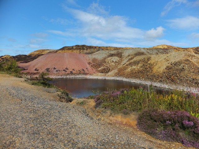
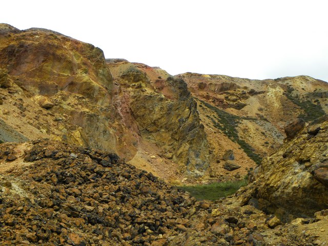
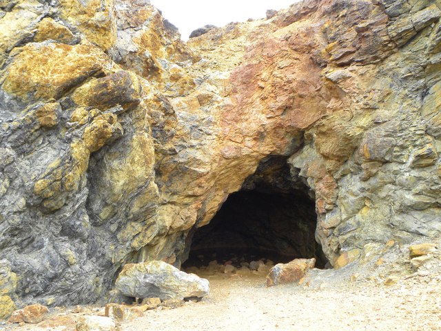
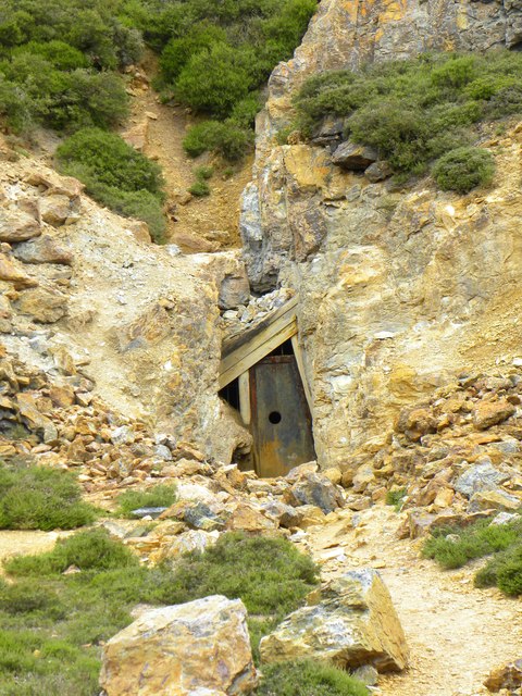
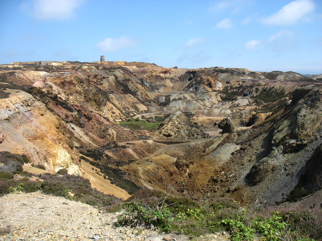
Parys Mountain

Parys Mountain (Welsh: Mynydd Parys) is located south of the town of Amlwch in north east Anglesey, Wales. Originally known as Trysclwyn, the high ground...

Capel Parc

Capel Parc is a hamlet in the community of Rhosybol, Anglesey, Wales, which is 138.6 miles (223 km) from Cardiff and 218.4 miles (351.5 km) from London...

Nearby Amenities

Located within 500m of 53.37,-4.352
Generator Method: wind_turbine
Generator Output Electricity: yes
Generator Source: wind
Generator Type: horizontal_axis
Power: generator
Lat/Long: 53.3677304/-4.3553595
Generator Method: wind_turbine
Generator Output Electricity: yes
Generator Source: wind
Generator Type: horizontal_axis
Power: generator
Lat/Long: 53.3722565/-4.3542222
Generator Method: wind_turbine
Generator Output Electricity: yes
Generator Source: wind
Generator Type: horizontal_axis
Power: generator
Lat/Long: 53.3712195/-4.3528167
Generator Method: wind_turbine
Generator Output Electricity: yes
Generator Source: wind
Generator Type: horizontal_axis
Power: generator
Lat/Long: 53.3691583/-4.3528597
Source: OS VectorMap District
Lat/Long: 53.3685189/-4.3541986
Source: OS VectorMap District
Lat/Long: 53.3685322/-4.3545691
Source: OS VectorMap District
Lat/Long: 53.3685352/-4.3546024
Source: OS VectorMap District
Lat/Long: 53.3685417/-4.3535429
Source: OS VectorMap District
Lat/Long: 53.3685495/-4.3546032
Source: OS VectorMap District
Lat/Long: 53.3685503/-4.3545641
Source: OS VectorMap District
Lat/Long: 53.3685562/-4.354584
Source: OS VectorMap District
Lat/Long: 53.3685649/-4.3555556
Source: OS VectorMap District
Lat/Long: 53.3685663/-4.3540749
Source: OS VectorMap District
Lat/Long: 53.3685997/-4.3535191
Source: OS VectorMap District
Lat/Long: 53.3686346/-4.3534834
Source: OS VectorMap District
Lat/Long: 53.3686362/-4.3534474
Source: OS VectorMap District
Lat/Long: 53.3687334/-4.3555393
Source: OS VectorMap District
Lat/Long: 53.3687389/-4.3534351
Source: OS VectorMap District
Lat/Long: 53.3687456/-4.3554663
Source: OS VectorMap District
Lat/Long: 53.3687608/-4.3554251
Source: OS VectorMap District
Lat/Long: 53.3687988/-4.3554136
Source: OS VectorMap District
Lat/Long: 53.3688163/-4.3534527
Source: OS VectorMap District
Lat/Long: 53.3688403/-4.3537203
Source: OS VectorMap District
Lat/Long: 53.3688749/-4.3543791
Source: OS VectorMap District
Lat/Long: 53.3737919/-4.3503956
Source: OS VectorMap District
Lat/Long: 53.3739221/-4.3484943
Source: OS VectorMap District
Lat/Long: 53.3739772/-4.3510097
Source: OS VectorMap District
Lat/Long: 53.3740537/-4.349982
Source: OS VectorMap District
Lat/Long: 53.374407/-4.350595
Power: pole
Lat/Long: 53.3727758/-4.3480082
Power: pole
Lat/Long: 53.372391/-4.3471438
The data included in this document is from www.openstreetmap.org. The data is made available under ODbL.

Have you been to Penyfynwent?

Leave your review of Penyfynwent below (or comments, questions and feedback).