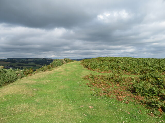
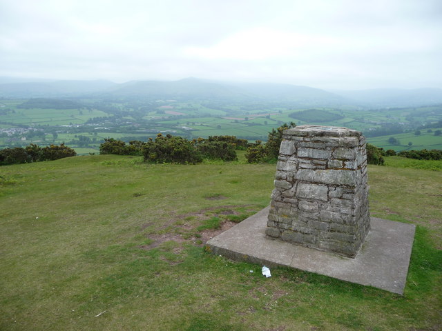
Pen-y-crug

Heritage Site in Brecknockshire

Wales

Pen-y-crug

Footpath to Pen-y-Crug
Footpath to Pen-y-Crug Credit: Gareth James

The requested URL returned error: 429 Too Many Requests

If you have any feedback on the listing, please let us know in the comments section below.
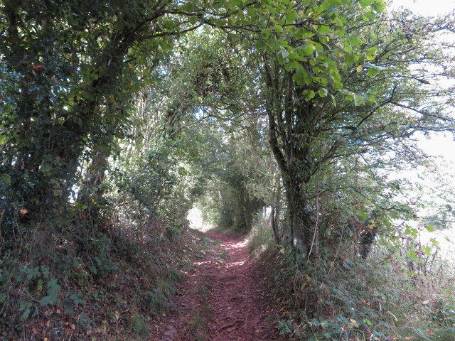
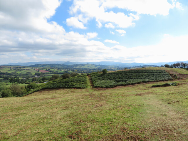
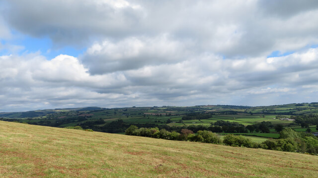
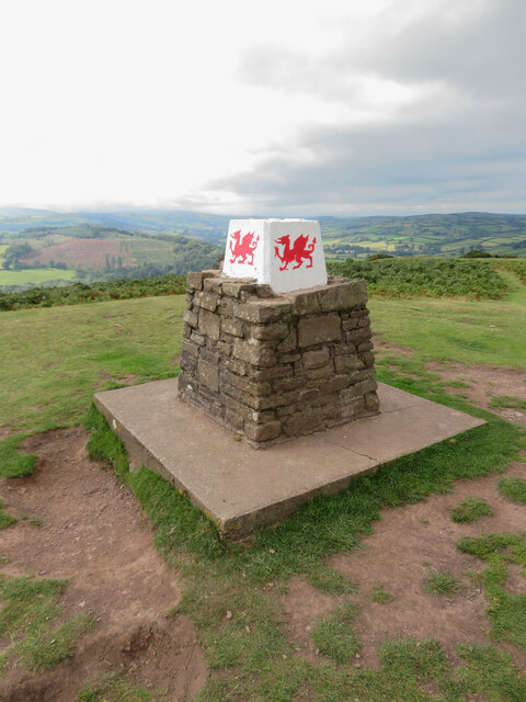
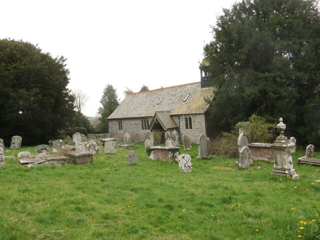
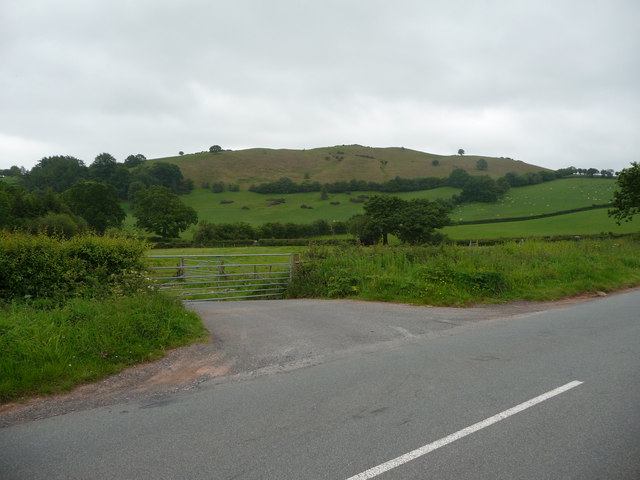
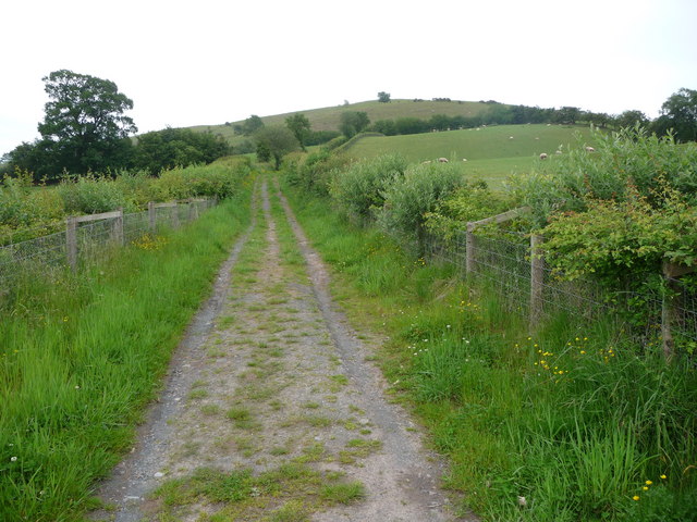
Pen-y-crug Images

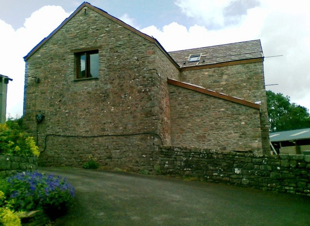
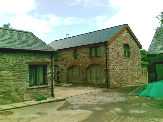
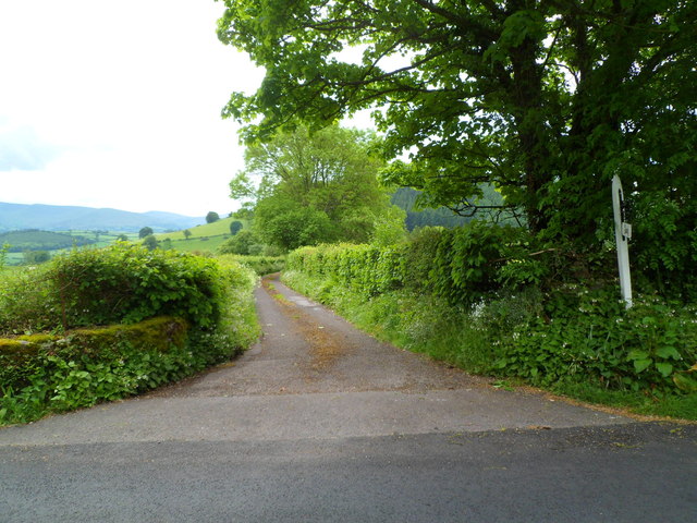
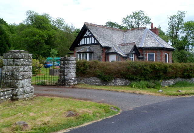
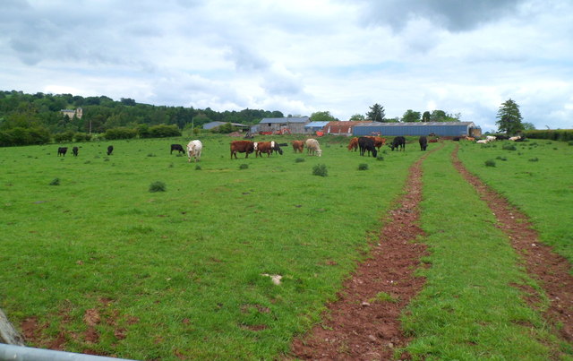
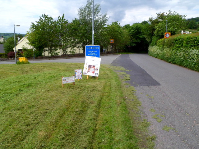
Images are sourced within 2km of 51.963/-3.418 or Grid Reference SO0230. Thanks to Geograph Open Source API. All images are credited.

Footpath to Pen-y-Crug
View south-east from Pen-y-crug
View north-east from Pen-y-crug
Trig point on Pen-y-crug
Looking north on Pen-y-crug
View towards Pysgodlyn Farm from Pen-y-crug
View towards Penoyre House from Pen-y-crug
Ordnance Survey Cut Mark This OS cut mark can be found on Tairderwen. It marks a point 197.138m above mean sea level.
Ordnance Survey Cut Mark
This OS cut mark can be found on Tairderwen. It marks a point 197.138m above mean sea level.
Eglwys Sant Cadog, Y Batel / St Cadog's Church, Battle Mae Eglwys Blwyfol Y Batel wedi ei chysegru i Sant Cadog ac fe'i hailadeiladwyd yn 1880. Yn anffodus, mae'r eglwys wed cau ers peth amser.

St Cadog's Parish Church located in the tiny village of Battle. Rebuilt in 1880 the church, sadly, is no longer open for worship.
Eglwys Sant Cadog, Y Batel / St Cadog's Church, Battle
Mae Eglwys Blwyfol Y Batel wedi ei chysegru i Sant Cadog ac fe'i hailadeiladwyd yn 1880. Yn anffodus, mae'r eglwys wed cau ers peth amser. St Cadog's Parish Church located in the tiny village of Battle. Rebuilt in 1880 the church, sadly, is no longer open for worship.
Gate near Tairderwen below Pen-y-crug This gate on a B road near a property called Tairderwen gives a good view across fields rising to the hillfort crowning the hillock called Pen-y-crug. The access path follows the skyline. It is well worth the effort of walking up; the views of the Brecon Beacons and the Usk Valley and over the town of Brecon are excellent.
Gate near Tairderwen below Pen-y-crug
This gate on a B road near a property called Tairderwen gives a good view across fields rising to the hillfort crowning the hillock called Pen-y-crug. The access path follows the skyline. It is well worth the effort of walking up; the views of the Brecon Beacons and the Usk Valley and over the town of Brecon are excellent.
Access path to Pen-y-crug hillfort near Brecon It is a steepish ascent to the summit but the footpath is wide and undulates and curves in an interesting fashion. Parking is available at a recycling pull-in opposite on the road.
Access path to Pen-y-crug hillfort near Brecon
It is a steepish ascent to the summit but the footpath is wide and undulates and curves in an interesting fashion. Parking is available at a recycling pull-in opposite on the road.
The summit trig point of Pen-y-crug near Brecon On a clearer day this spot commands excellent views of the Beacons and is an excellent alternative place to walk to admire the mountains. An Iron Age hillfort was established on the summit and the multivallate ditches and ramparts are well preserved. Ferns obstruct the site in high summer.
The summit trig point of Pen-y-crug near Brecon
On a clearer day this spot commands excellent views of the Beacons and is an excellent alternative place to walk to admire the mountains. An Iron Age hillfort was established on the summit and the multivallate ditches and ramparts are well preserved. Ferns obstruct the site in high summer.
Barn conversion, Pentwyn
Barn conversion, Danycrug
Lane to Gludy and Gludy Cottage near Cradoc Viewed from Cradoc Road. Gludy and Gludy Cottage are about 300 metres away.
Lane to Gludy and Gludy Cottage near Cradoc
Viewed from Cradoc Road. Gludy and Gludy Cottage are about 300 metres away.
Parc Lodge near Cradoc Viewed from Cradoc Road. Parc Lodge was formerly the SE lodge at the entrance to the grounds of Penoyre House, a mid-Victorian mansion located a kilometre to the NW.
Parc Lodge near Cradoc
Viewed from Cradoc Road. Parc Lodge was formerly the SE lodge at the entrance to the grounds of Penoyre House, a mid-Victorian mansion located a kilometre to the NW.
Pysgodlyn Farm, Cradoc Twin tracks across a field lead north from a Cradoc Road gate to Pysgodlyn Farm.
Pysgodlyn Farm, Cradoc
Twin tracks across a field lead north from a Cradoc Road gate to Pysgodlyn Farm.
Diamond Jubilee announcements at the SE boundary of Cradoc The road from Brecon reaches the SE boundary of the hamlet of Cradoc.
Three notices announce that Queen Elizabeth II's Diamond Jubilee celebrations
are taking place today, Monday June 4th 2012, in Aberyscir Hill.
Diamond Jubilee announcements at the SE boundary of Cradoc
The road from Brecon reaches the SE boundary of the hamlet of Cradoc. Three notices announce that Queen Elizabeth II's Diamond Jubilee celebrations are taking place today, Monday June 4th 2012, in Aberyscir Hill.
Show me another place!

Pen-y-crug is located at Grid Ref: SO0230 (Lat: 51.963, Lng: -3.418)

What 3 Words

///informs.polices.retiring. Near Brecon, Powys

Nearby Locations

Pen-y-crug

Related Wikis

Pen-y-crug

Pen-y-crug is a hill in the Brecon Beacons National Park in the county of Powys, south Wales. It is commonly referred to locally as simply 'The Crug'...

Brecon VHF-FM transmitting station

The Brecon VHF FM transmitting station in Powys, Wales was originally built by the BBC in 1965 as a relay for VHF FM radio. It consists of a pair of 15...
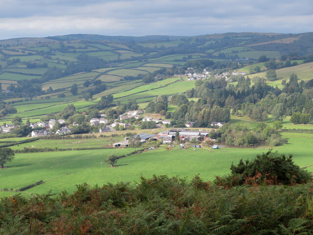
Cradoc, Powys

Cradoc is a small village, about two miles northwest of Brecon, Wales. It lies within the administrative community of Yscir and partly within the Brecon...
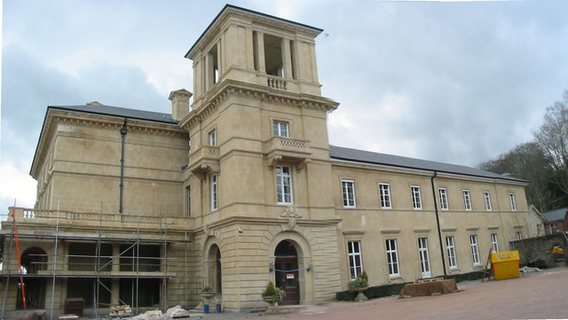
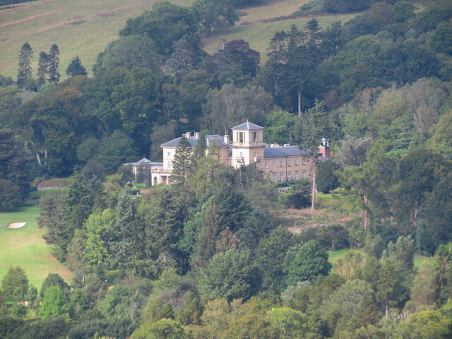
Penoyre House

Penoyre House, Battle, Powys, Wales is a nineteenth century country house. Designed by Anthony Salvin for Colonel John Lloyd Vaughan Watkins, it was built...

Nearby Amenities

Located within 500m of 51.963,-3.418
Pen y Crug
Ele: 331
Man Made: survey_point
Natural: peak
Ref: TP1611
Lat/Long: 51.9627551/-3.4141597
Barrier: wicket_gate
Leaf Type: mixed
Natural: tree_row
Lat/Long: 51.9665524/-3.4151825
The data included in this document is from www.openstreetmap.org. The data is made available under ODbL.

Have you been to Pen-y-crug?

Leave your review of Pen-y-crug below (or comments, questions and feedback).