Penycrocbren
Heritage Site in Montgomeryshire
Wales
Penycrocbren

The requested URL returned error: 429 Too Many Requests
If you have any feedback on the listing, please let us know in the comments section below.
Penycrocbren Images
Images are sourced within 2km of 52.527/-3.688 or Grid Reference SN8593. Thanks to Geograph Open Source API. All images are credited.


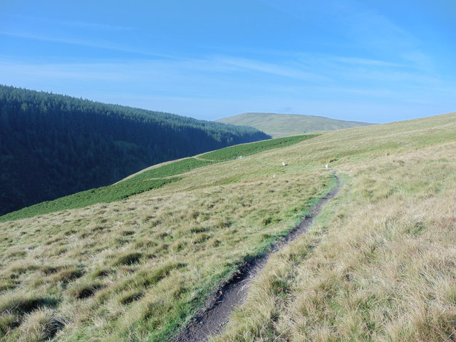


![Conifer plantation at Lluest Dropyns Looking east to the top [west end] of the hillside plantation.](https://s2.geograph.org.uk/geophotos/05/02/63/5026374_f668acdb.jpg)


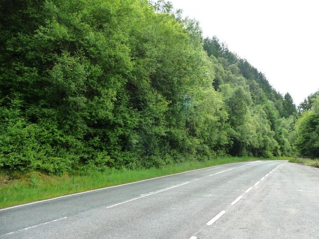
![Group of trees outside the Star Inn, Dylife The pub / B&B is for sale [July 2016] for £325,000.](https://s3.geograph.org.uk/geophotos/05/02/64/5026431_f5957f3d.jpg)
Penycrocbren is located at Grid Ref: SN8593 (Lat: 52.527, Lng: -3.688)
What 3 Words
///quirky.professes.fells. Near Staylittle, Powys
Nearby Locations
Related Wikis
Dylife
Dylife is a former mining settlement in Powys, Wales, located at the head of Afon Twymyn in the Cambrian Mountains, one mile west of the road between Llanidloes...

Bryn yr Ŵyn
Bryn yr Ŵyn (Welsh for 'hill of the lambs') is a former Dewey in the foothills of Plynlimon between Aberystwyth and Welshpool in Wales. The summit height...

Ffrwd Fawr Waterfall
Ffrwd Fawr is a waterfall in Powys, Wales. == Location == The River Twymyn flows from the 40-metre-high (130 ft) Ffrwd Fawr Waterfall at the head of the...

Dylife Gorge
The Dylife Gorge, located near Dylife, Powys, Mid Wales, was carved by the action (and aftermath) of the last Ice age. It is headed by the Ffrwd Fawr Waterfall...
Nearby Amenities
Located within 500m of 52.527,-3.688Have you been to Penycrocbren ?
Leave your review of Penycrocbren below (or comments, questions and feedback).