Pen-y-gaer
Heritage Site in Caernarfonshire
Wales
Pen-y-gaer
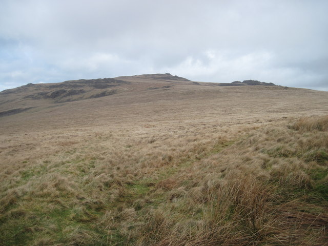
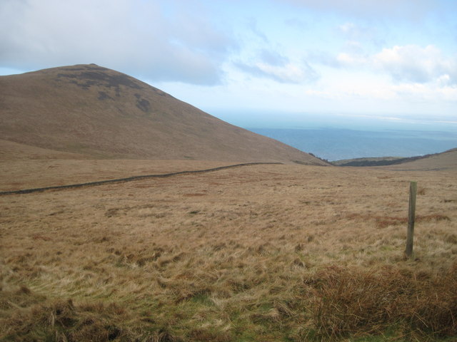
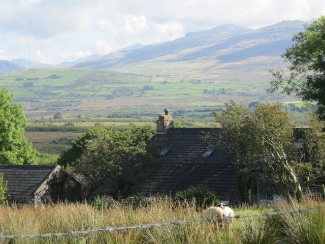
Pen-y-gaer is a historic heritage site located in Caernarfonshire, Wales. Situated atop a prominent hill overlooking the picturesque Nantlle Valley, it offers breathtaking views of the surrounding countryside. The site holds significant archaeological and historical importance, dating back to the Iron Age.
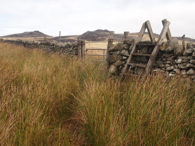
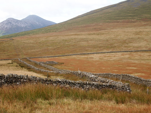
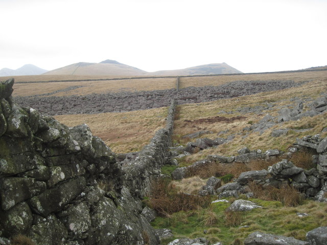
The main feature of Pen-y-gaer is a well-preserved hillfort, believed to have been constructed around 400 BC. The fort covers an area of approximately 1.5 hectares and is enclosed by a double-rampart and ditch system. The inner rampart stands at an impressive height, while the outer rampart has partially eroded over time. Despite this, the site's defensive features still provide valuable insights into ancient fortification techniques.
Excavations at Pen-y-gaer have revealed evidence of human occupation throughout the Iron Age and Roman periods. The discovery of hearths, storage pits, and postholes indicate that the site was likely used as a settlement. Additionally, various artifacts like pottery, tools, and coins have been unearthed, shedding light on the daily life, trade, and cultural activities of its inhabitants.
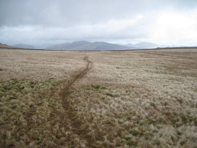
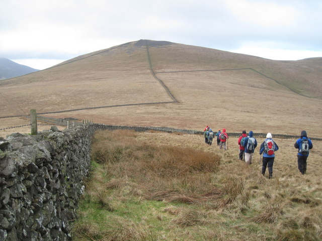
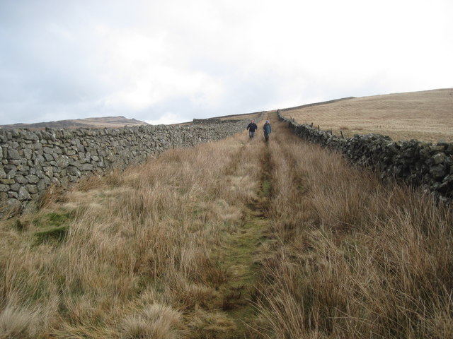
Today, Pen-y-gaer is a popular destination for history enthusiasts, hikers, and nature lovers alike. Visitors can explore the site and its surroundings through well-marked trails, allowing them to appreciate the strategic location and commanding views it offers. Interpretive signage provides historical context, enhancing the visitor experience.
Thanks to its rich history and natural beauty, Pen-y-gaer remains an important heritage site, providing a glimpse into Wales' ancient past.
If you have any feedback on the listing, please let us know in the comments section below.
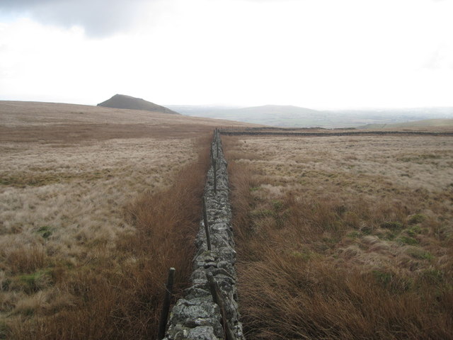
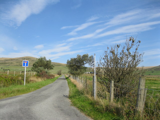
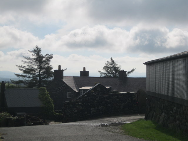
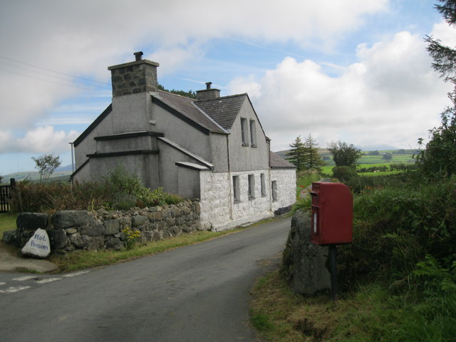
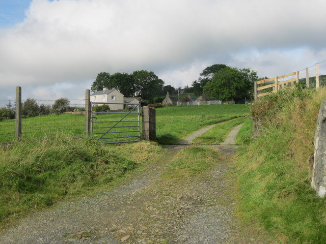
Pen-y-gaer Images
Images are sourced within 2km of 52.983/-4.347 or Grid Reference SH4245. Thanks to Geograph Open Source API. All images are credited.
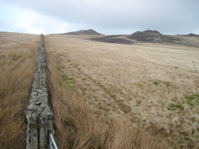
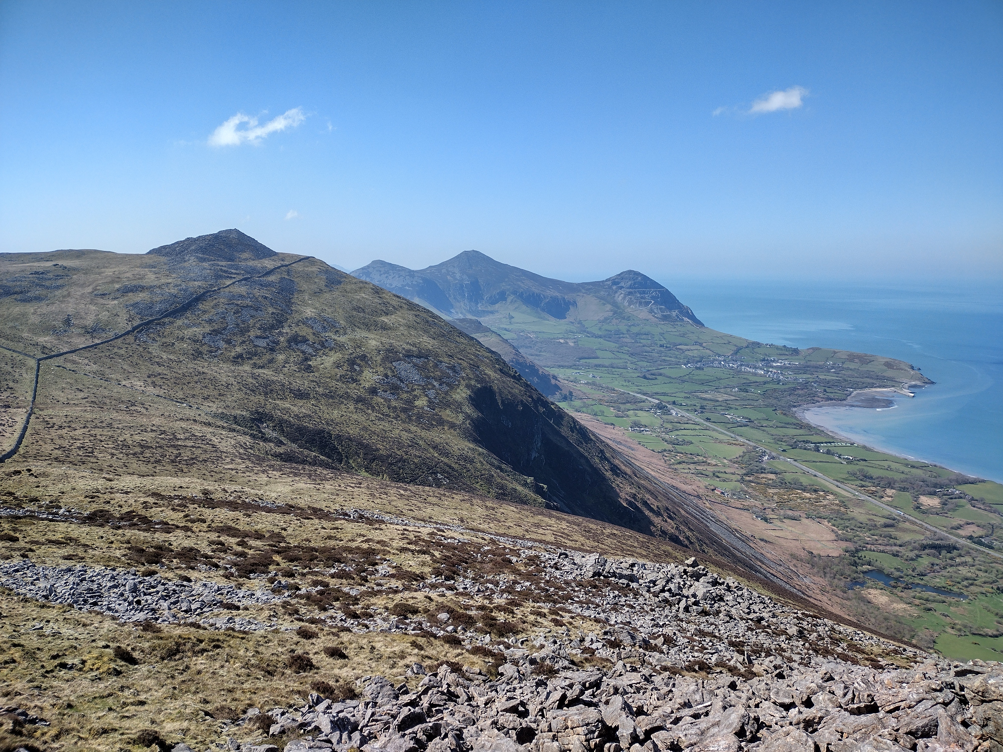
![Following the wall The ancient footpath [which is now part of the Wales Coastal Path] crosses the wall somewhere near the people in the distance.](https://s2.geograph.org.uk/geophotos/03/74/21/3742142_a5a83e1a.jpg)
Pen-y-gaer is located at Grid Ref: SH4245 (Lat: 52.983, Lng: -4.347)
What 3 Words
///tribune.slick.preparing. Near Penygroes, Gwynedd
Nearby Locations
Related Wikis

Bwlch Mawr
Bwlch Mawr is a hill near the northeastern corner of the Llŷn Peninsula in the community of Clynnog in the county of Gwynedd in North Wales. Its name is...

Caernarfon (Assembly constituency)
Caernarfon was a constituency of the National Assembly for Wales from 1999 to 2007. It was one of nine constituencies in the North Wales electoral region...
Caernarfon (UK Parliament constituency)
Caernarfon was a parliamentary constituency centred on the town of Caernarfon in Wales. It elected one Member of Parliament (MP) by the first past the...
Gyrn Ddu
Gyrn Ddu is a hill near the northeastern corner of the Llŷn Peninsula in the community of Llanaelhaearn in the county of Gwynedd in North Wales. It forms...
1984 Llŷn Peninsula earthquake
The 1984 Llŷn Peninsula earthquake struck the Llŷn Peninsula in Gwynedd, northwest Wales on Thursday 19 July 1984 at 06:56 UTC (07:56 BST). Measuring 5...

A499 road
The A499 road is the major road of the Llŷn peninsula in North Wales. Its northern terminus is a roundabout with the A487 trunk road between Llanwnda and...
Battle of Bryn Derwin
The Battle of Bryn Derwin was fought in Eifionydd, Gwynedd on June 1255, between Llywelyn ap Gruffudd and his brothers, Dafydd ap Gruffudd and Owain Goch...

Llanaelhaearn
Llanaelhaearn is a village and community on the Llŷn Peninsula in the county of Gwynedd, Wales. The community includes the larger village of Trefor and...
Nearby Amenities
Located within 500m of 52.983,-4.347Have you been to Pen-y-gaer?
Leave your review of Pen-y-gaer below (or comments, questions and feedback).