Lownie Moor

Settlement in Angus

Scotland

Lownie Moor

Angus farmland from near Lownie Looking south over cereal stubble and potatoes still to be lifted.
Angus farmland from near Lownie Credit: M J Richardson

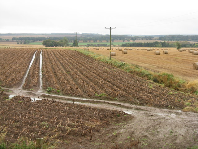
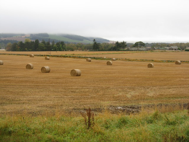
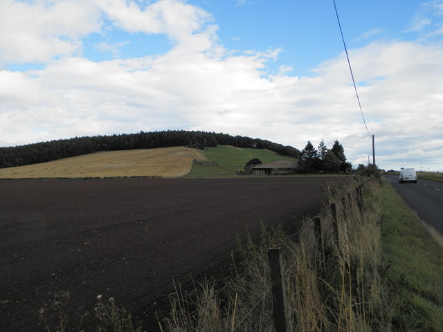
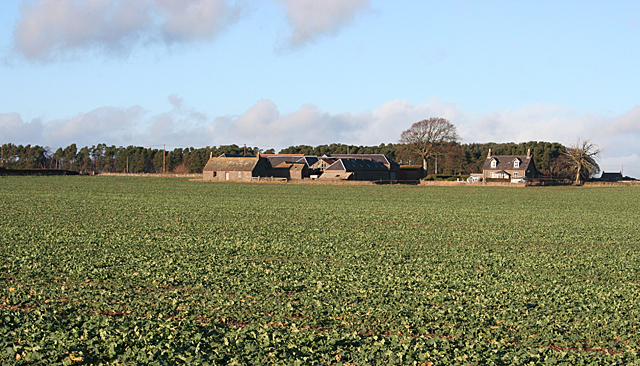
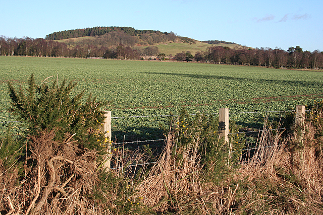
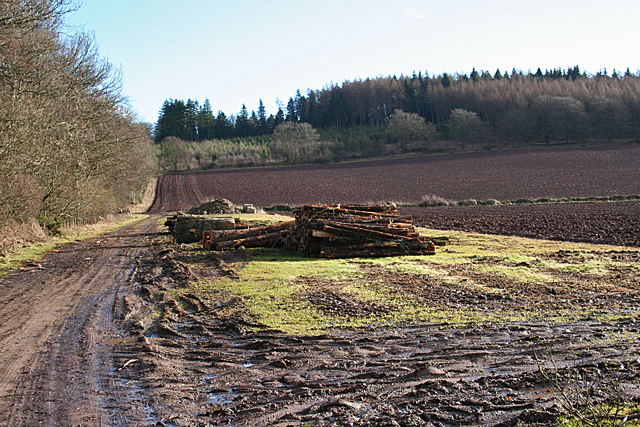
Lownie Moor is a vast area of moorland located in the Angus region of Scotland. Stretching over several square kilometers, this picturesque landscape is characterized by its rolling hills, heather-covered moors, and scattered patches of woodland. It is situated approximately 10 miles northwest of the town of Forfar and lies within the Cairngorms National Park, a renowned area for its natural beauty and diverse wildlife.

The moorland of Lownie Moor offers visitors a tranquil escape from the hustle and bustle of everyday life. Its open expanses and breathtaking views make it a popular destination for nature enthusiasts, hikers, and birdwatchers. The area is home to various species of birds, including curlews, lapwings, and red grouse, which can often be spotted amidst the heather and grasses.

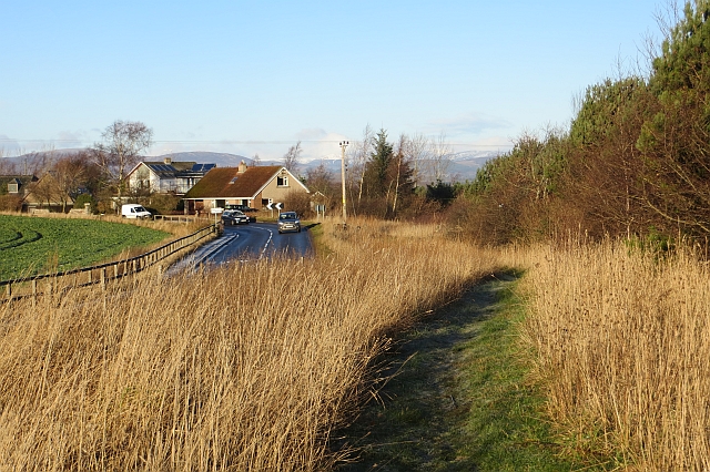
Walking trails crisscross the moor, allowing visitors to explore its unique terrain and discover its hidden gems. The landscape is dotted with small lochs, adding to the area's charm and offering opportunities for fishing or simply enjoying the peaceful surroundings. On clear days, the panoramic views from Lownie Moor extend for miles, showcasing the beauty of the surrounding Angus countryside.

While Lownie Moor remains largely untouched by human development, evidence of its historical significance can be found in the form of ancient burial cairns and stone circles scattered across the moorland. These archaeological sites provide insights into the lives and culture of the people who once inhabited this area.

In summary, Lownie Moor in Angus is a picturesque and peaceful moorland, offering visitors a chance to immerse themselves in the natural beauty of Scotland's countryside and explore its rich history.

If you have any feedback on the listing, please let us know in the comments section below.
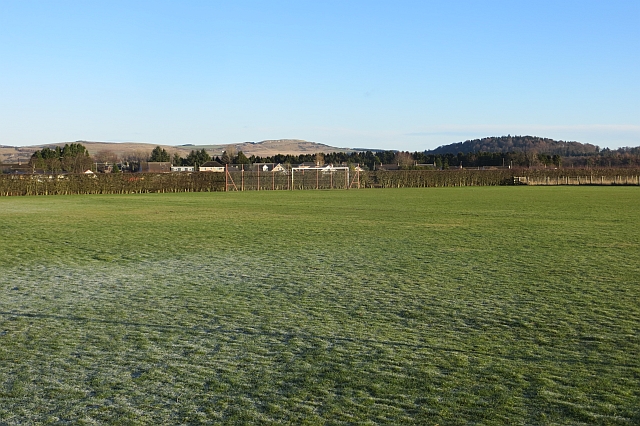
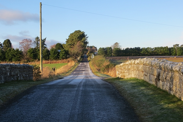
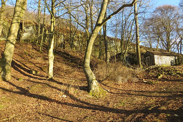
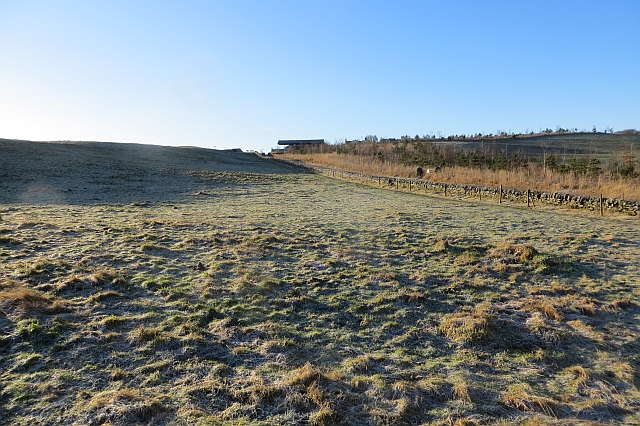
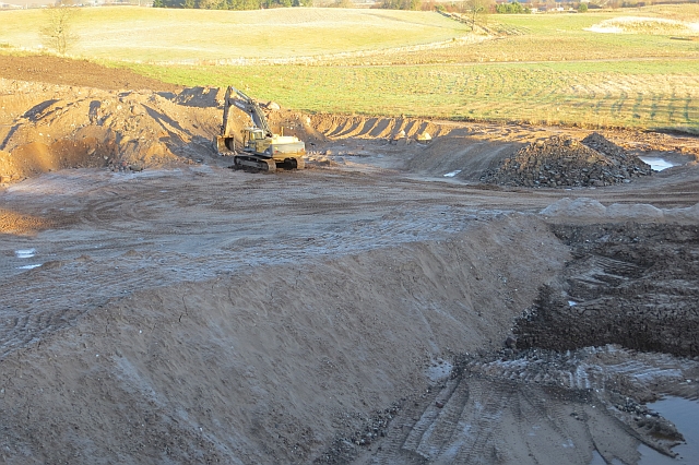
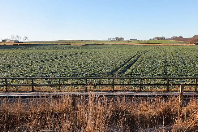
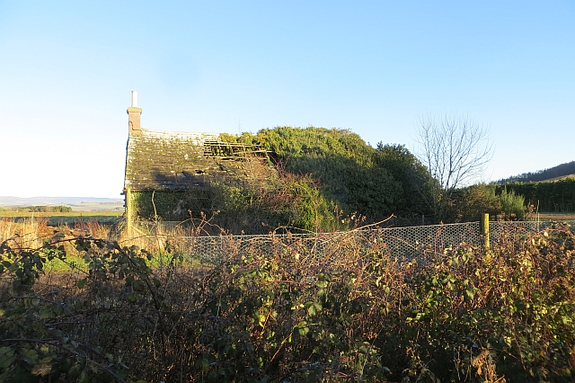
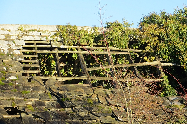
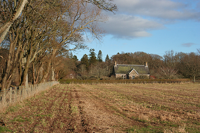
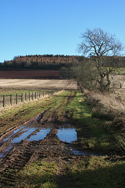
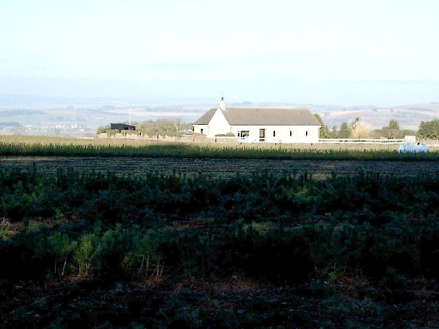
Lownie Moor Images

Images are sourced within 2km of 56.62524/-2.8507227 or Grid Reference NO4748. Thanks to Geograph Open Source API. All images are credited.

Angus farmland from near Lownie Looking south over cereal stubble and potatoes still to be lifted.
Angus farmland from near Lownie
Looking south over cereal stubble and potatoes still to be lifted.
Lownie Moor Angus farmland, looking southeast over stubbles towards Cotton of Lownie, and Fothringham Hill in low cloud.
Lownie Moor
Angus farmland, looking southeast over stubbles towards Cotton of Lownie, and Fothringham Hill in low cloud.
House at Lownie Hill On the road from Forfar to Dunnichen.
House at Lownie Hill
On the road from Forfar to Dunnichen.
Dunnichen Road There is a grassy path beside the somewhat busy road.
Dunnichen Road
There is a grassy path beside the somewhat busy road.
Playing field,  Kingsmuir Amongst farmland, south of the village.
Playing field, Kingsmuir
Amongst farmland, south of the village.
Railway bridge, Lownie Moor The bridge is now filled in and the trackbed towards Forfar is now part of a garden.  This was the Broughty Ferry to Forfar Branch of the Caledonian Railway.
Railway bridge, Lownie Moor
The bridge is now filled in and the trackbed towards Forfar is now part of a garden. This was the Broughty Ferry to Forfar Branch of the Caledonian Railway.
Quarry, Lownie Now full of ash trees.
Quarry, Lownie
Now full of ash trees.
Frosty pasture, Pitreuchie Farmland to the south of Forfar.
Frosty pasture, Pitreuchie
Farmland to the south of Forfar.
Gravel pit, Forfar There was a lot of glacial deposition in the Forfar area which has attracted the aggregates industry. This is a newly opened quarry just off the road to Kingsmuir and sheltered by a new strip wood. Like the bigger Lochhead quarry, there was work in progress on Saturday: they are building houses again.
Gravel pit, Forfar
There was a lot of glacial deposition in the Forfar area which has attracted the aggregates industry. This is a newly opened quarry just off the road to Kingsmuir and sheltered by a new strip wood. Like the bigger Lochhead quarry, there was work in progress on Saturday: they are building houses again.
Arable land, Pitreuchie View from a path beside Dunnichen Road.
Arable land, Pitreuchie
View from a path beside Dunnichen Road.
Ruin, Lownie Moor A bit further gone than when this was taken: <a href="https://www.geograph.org.uk/photo/116869">NO4848 : Derelict Cottage, Lownie Muir, Forfar</a>
Ruin, Lownie Moor
A bit further gone than when this was taken: NO4848 : Derelict Cottage, Lownie Muir, Forfar
Ruin, Lownie Moor Roof detail showing surviving stones and timbers.
Ruin, Lownie Moor
Roof detail showing surviving stones and timbers.
Hillend of Burnside Farm
Newdyke The farm of Newdyke straddles the grid line, but all the foreground and the nearest house are in this grid square.
Newdyke
The farm of Newdyke straddles the grid line, but all the foreground and the nearest house are in this grid square.
Looking towards Dunnichen Hill From the minor road south of Newdyke, Cotton of Lownie is just visible through the gap in the woodland, with Dunnichen Hill on the skyline. All of the foreground, as far as the woods, is in this grid square.
Looking towards Dunnichen Hill
From the minor road south of Newdyke, Cotton of Lownie is just visible through the gap in the woodland, with Dunnichen Hill on the skyline. All of the foreground, as far as the woods, is in this grid square.
Lownie Hill Looking up towards Lownie Hill from near Mid Dod.
Lownie Hill
Looking up towards Lownie Hill from near Mid Dod.
Mid Dod A field awaits ploughing at Mid Dod.
Mid Dod
A field awaits ploughing at Mid Dod.
Waterlogged Ruts The entrance to this field is pretty boggy, in spite of the ditch running downhill only a few metres away. Lownie Hill on the skyline.
Waterlogged Ruts
The entrance to this field is pretty boggy, in spite of the ditch running downhill only a few metres away. Lownie Hill on the skyline.
Show me another place!

Lownie Moor is located at Grid Ref: NO4748 (Lat: 56.62524, Lng: -2.8507227)

Unitary Authority: Angus

Police Authority: Tayside

What 3 Words

///yummy.commuted.observes. Near Forfar, Angus

Nearby Locations

Caldhame Lownie Moor

Related Wikis

Kingsmuir railway station

Kingsmuir railway station served the village of Kingsmuir, Angus, Scotland, from 1870 to 1955 on the Dundee and Forfar direct line. == History == The station...

Kingsmuir

Kingsmuir is a small village in Angus, one mile south-east of Forfar on the B9128 Carnoustie to Forfar road. == References ==

Caldhame

Caldhame is a village in Angus, Scotland. It lies approximately 1 mile to the south of Forfar. == References ==
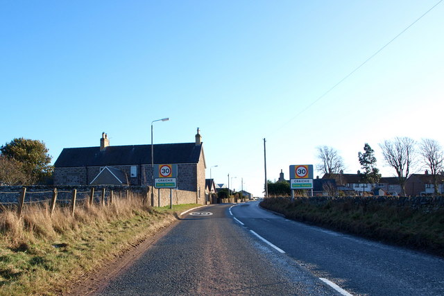
Craichie

Craichie (Scots pronunciation: [ˈkrexe]) is a hamlet in the parish of Dunnichen, Angus, Scotland. Craichie is three miles south-east of Forfar and two...

Nearby Amenities

Located within 500m of 56.62524,-2.8507227
Muir of Lownie
Alt Name: Lownie Moor
Place: hamlet
Lat/Long: 56.6250203/-2.8436813
Backmuir of Lownie
Alt Name: Backmuir;Backmoor
Place: hamlet
Lat/Long: 56.6282153/-2.8457947
Scotia Homes
Office: estate_agent
Lat/Long: 56.6257914/-2.8524318
Cherryfield
Loc Name: Chickyfield
Name Sco: Chickyfield
Place: hamlet
Lat/Long: 56.626035/-2.8512829
Muir of Lownie
Traffic Sign: city_limit
Traffic Sign Direction: backward
Lat/Long: 56.6251869/-2.849585
Strathmore Roofing Limited
Craft: roofer
Lat/Long: 56.6255874/-2.8544716
Lee Hutcheon Painter & Decorator
Craft: painter
Email: leehutcheon@btinternet.com
Phone: +44 7986 635557
Lat/Long: 56.6255903/-2.854198
D. Ogilvy Plant Contractor
Office: yes
Phone: +44 1307 467548
Phone Mobile: 07753846718
Website: https://www.douglas-ogilvy.co.uk
Lat/Long: 56.6255844/-2.8540478
Mak Electrical
Craft: electrician
Phone: +44 1307 840478
Phone Mobile: 07795626472
Website: https://www.mak-electrical.com
Lat/Long: 56.6255254/-2.8542088
Hutchinsons Produce Packaging
Man Made: works
Lat/Long: 56.6254192/-2.8526048
Power: pole
Lat/Long: 56.6236605/-2.8575682
Power: pole
Lat/Long: 56.6244898/-2.8574177
Power: pole
Lat/Long: 56.625357/-2.857286
Power: pole
Lat/Long: 56.6262069/-2.8578066
Power: pole
Lat/Long: 56.6259654/-2.8433869
Power: pole
Lat/Long: 56.6259493/-2.8446476
Power: pole
Lat/Long: 56.625932/-2.8457871
Power: pole
Lat/Long: 56.6259826/-2.8465815
Barrier: stile
Material: wood
Step Count: 2
Stile: stepover
Lat/Long: 56.6255137/-2.8466448
Barrier: stile
Material: wood
Step Count: 2
Stile: stepover
Lat/Long: 56.6283433/-2.8462665
Satin and Silk
Addr City: Forfar
Addr Housename: The Cottage
Addr Place: Caldhame
Addr Postcode: DD8 2LG
Clothes: wedding
Shop: clothes
Lat/Long: 56.6257554/-2.8588422
Material: wood
Power: pole
Lat/Long: 56.6250249/-2.8437313
Material: wood
Power: pole
Lat/Long: 56.6251046/-2.8456357
Material: wood
Power: pole
Lat/Long: 56.6250603/-2.8445869
Material: wood
Power: pole
Lat/Long: 56.6249925/-2.8428569
Material: wood
Power: pole
Lat/Long: 56.6249143/-2.8459253
Material: wood
Power: pole
Lat/Long: 56.6251371/-2.8466576
Material: wood
Power: pole
Lat/Long: 56.6251533/-2.8474649
Material: wood
Power: pole
Lat/Long: 56.6252035/-2.8487068
Power: pole
Lat/Long: 56.6251577/-2.8494202
Power: pole
Lat/Long: 56.6252684/-2.8505521
Generator Method: photovoltaic
Generator Output Electricity: yes
Generator Source: solar
Generator Type: solar_photovoltaic_panel
Location: roof
Power: generator
Lat/Long: 56.6252595/-2.84857
The data included in this document is from www.openstreetmap.org. The data is made available under ODbL.

Have you been to Lownie Moor?

Leave your review of Lownie Moor below (or comments, questions and feedback).