Caldhame

Settlement in Angus

Scotland

Caldhame

Balmashanner Topograph
Balmashanner Topograph Credit: Stevan Hogg

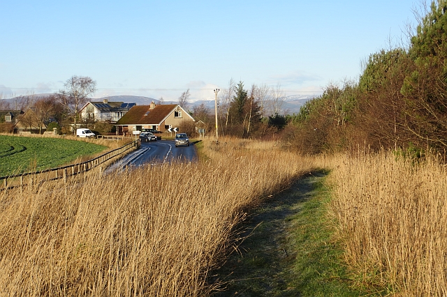
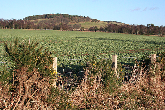
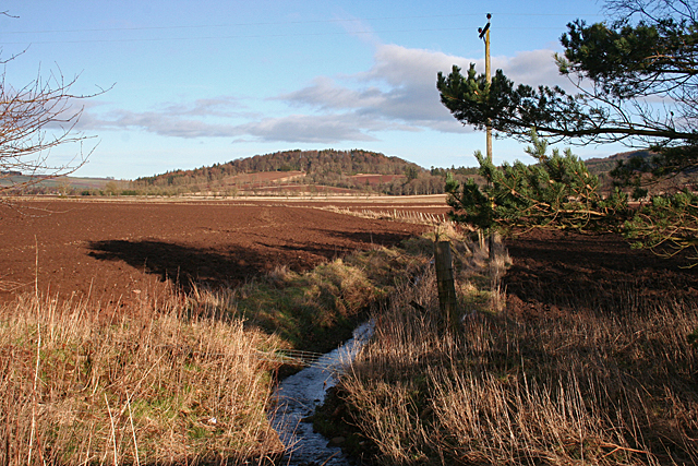
Caldhame is a small village located in the Angus region of Scotland. Situated in the eastern part of the country, it lies approximately 4 miles north of the town of Forfar. The village is nestled amidst picturesque countryside, surrounded by rolling hills and farmland.

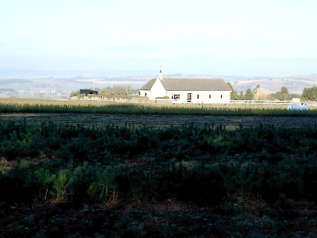
Caldhame is a close-knit community with a population of around 200 residents. The village offers a peaceful and tranquil environment, making it an ideal place for those seeking a rural lifestyle. The architecture of the village reflects its rich history, with several traditional stone houses and buildings that have been well-preserved over the years.

Although primarily a residential area, Caldhame is conveniently located near several amenities. The neighboring town of Forfar provides residents with access to schools, shops, and other essential services. The village itself has a small local store, providing basic necessities to its residents.

Nature enthusiasts will appreciate the natural beauty that surrounds Caldhame. The nearby Angus Glens offer a range of outdoor activities, including hiking, cycling, and wildlife spotting. The village is also in close proximity to the renowned Loch Brandy, a popular spot for fishing and boating.

Transportation in Caldhame is primarily reliant on private vehicles, as the village is not serviced by public transport. However, the nearby A90 road provides easy access to larger towns and cities in the region.

Overall, Caldhame is a charming and idyllic village that offers a peaceful countryside lifestyle with convenient access to essential services and natural attractions.

If you have any feedback on the listing, please let us know in the comments section below.
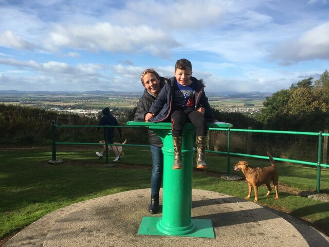
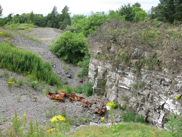
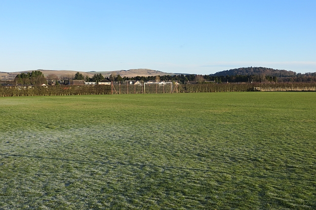
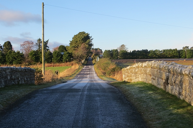
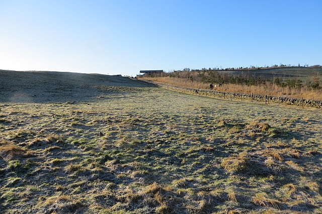
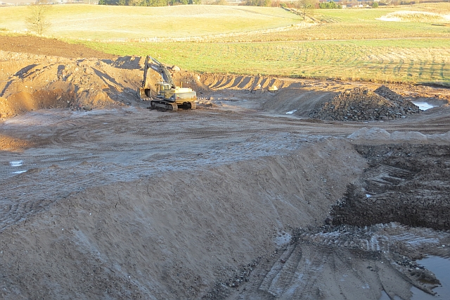
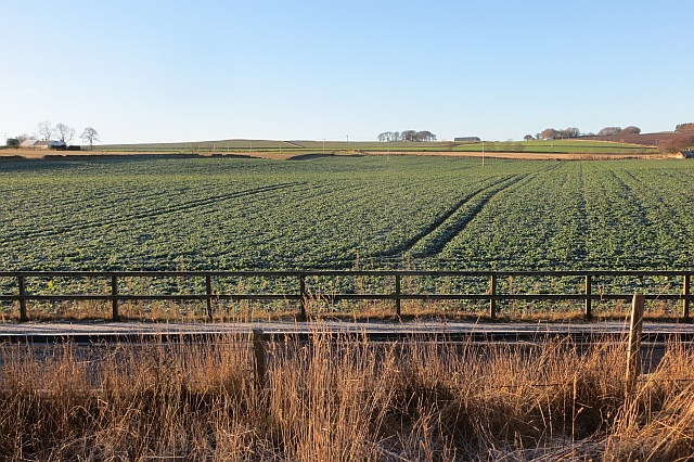
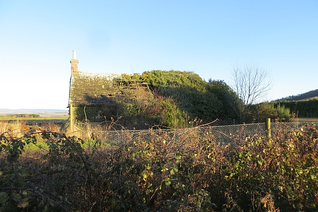
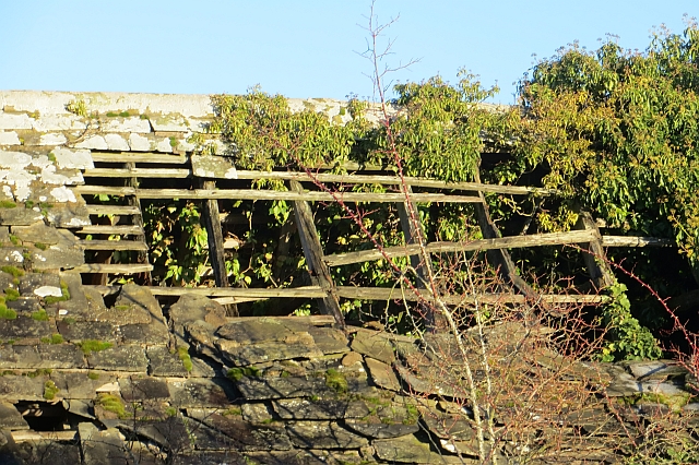
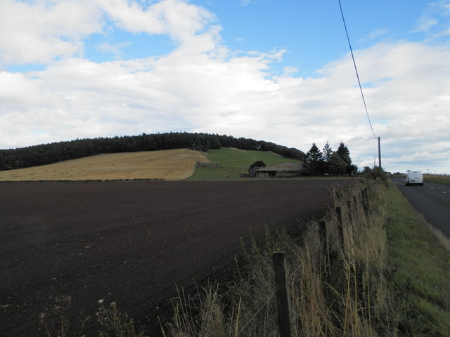
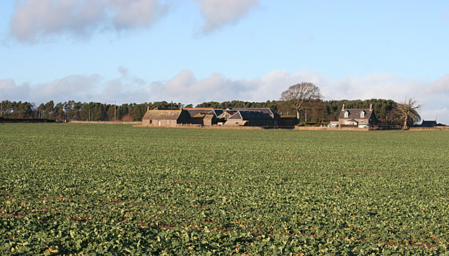
Caldhame Images

Images are sourced within 2km of 56.625586/-2.8644048 or Grid Reference NO4748. Thanks to Geograph Open Source API. All images are credited.

Balmashanner Topograph
Disused Slate Quarry With wrecked car.
Disused Slate Quarry
With wrecked car.
Balmashanner Hill View of Forfar's War Memorial
Balmashanner Hill
View of Forfar's War Memorial
Forfar War Memorial
Forfar War Memorial
Dunnichen Road There is a grassy path beside the somewhat busy road.
Dunnichen Road
There is a grassy path beside the somewhat busy road.
Playing field,  Kingsmuir Amongst farmland, south of the village.
Playing field, Kingsmuir
Amongst farmland, south of the village.
Railway bridge, Lownie Moor The bridge is now filled in and the trackbed towards Forfar is now part of a garden.  This was the Broughty Ferry to Forfar Branch of the Caledonian Railway.
Railway bridge, Lownie Moor
The bridge is now filled in and the trackbed towards Forfar is now part of a garden. This was the Broughty Ferry to Forfar Branch of the Caledonian Railway.
Frosty pasture, Pitreuchie Farmland to the south of Forfar.
Frosty pasture, Pitreuchie
Farmland to the south of Forfar.
Gravel pit, Forfar There was a lot of glacial deposition in the Forfar area which has attracted the aggregates industry. This is a newly opened quarry just off the road to Kingsmuir and sheltered by a new strip wood. Like the bigger Lochhead quarry, there was work in progress on Saturday: they are building houses again.
Gravel pit, Forfar
There was a lot of glacial deposition in the Forfar area which has attracted the aggregates industry. This is a newly opened quarry just off the road to Kingsmuir and sheltered by a new strip wood. Like the bigger Lochhead quarry, there was work in progress on Saturday: they are building houses again.
Arable land, Pitreuchie View from a path beside Dunnichen Road.
Arable land, Pitreuchie
View from a path beside Dunnichen Road.
Ruin, Lownie Moor A bit further gone than when this was taken: <a href="https://www.geograph.org.uk/photo/116869">NO4848 : Derelict Cottage, Lownie Muir, Forfar</a>
Ruin, Lownie Moor
A bit further gone than when this was taken: NO4848 : Derelict Cottage, Lownie Muir, Forfar
Ruin, Lownie Moor Roof detail showing surviving stones and timbers.
Ruin, Lownie Moor
Roof detail showing surviving stones and timbers.
Kame and kettle terrain, Forfar Glacial deposits, some of which have been quarried for gravel.
Kame and kettle terrain, Forfar
Glacial deposits, some of which have been quarried for gravel.
Hillend of Burnside Farm
Newdyke The farm of Newdyke straddles the grid line, but all the foreground and the nearest house are in this grid square.
Newdyke
The farm of Newdyke straddles the grid line, but all the foreground and the nearest house are in this grid square.
Looking towards Dunnichen Hill From the minor road south of Newdyke, Cotton of Lownie is just visible through the gap in the woodland, with Dunnichen Hill on the skyline. All of the foreground, as far as the woods, is in this grid square.
Looking towards Dunnichen Hill
From the minor road south of Newdyke, Cotton of Lownie is just visible through the gap in the woodland, with Dunnichen Hill on the skyline. All of the foreground, as far as the woods, is in this grid square.
Auchterforfar The foreground and the front of the farm house are in this square, but the extensive steading is just in the next square.
Auchterforfar
The foreground and the front of the farm house are in this square, but the extensive steading is just in the next square.
Nameless Burn This burn isn't named on the maps. It drains fields near Auchterforfar. The small hill is Green Hill.
Nameless Burn
This burn isn't named on the maps. It drains fields near Auchterforfar. The small hill is Green Hill.
Show me another place!

Caldhame is located at Grid Ref: NO4748 (Lat: 56.625586, Lng: -2.8644048)

Unitary Authority: Angus

Police Authority: Tayside

What 3 Words

///rafters.shelving.promoted. Near Forfar, Angus

Nearby Locations

Lownie Moor Caldhame

Related Wikis

Caldhame

Caldhame is a village in Angus, Scotland. It lies approximately 1 mile to the south of Forfar. == References ==

Kingsmuir

Kingsmuir is a small village in Angus, one mile south-east of Forfar on the B9128 Carnoustie to Forfar road. == References ==

Kingsmuir railway station

Kingsmuir railway station served the village of Kingsmuir, Angus, Scotland, from 1870 to 1955 on the Dundee and Forfar direct line. == History == The station...

Forfar Infirmary

Forfar Infirmary was a health facility in Arbroath Road in Forfar, Angus, Scotland. It was managed by NHS Tayside. == History == The facility had its origins...

Nearby Amenities

Located within 500m of 56.625586,-2.8644048
Bus Stop
Caldhame
Naptan AtcoCode: 6490IM131
Naptan Bearing: S
Naptan BusStopType: CUS
Naptan CommonName: Caldhame
Naptan Indicator: at Road End
Naptan Landmark: Caldhame
Naptan NaptanCode: 26426743
Naptan Street: Unclassified Road
Naptan Verified: no
Source: naptan_import
Lat/Long: 56.6257325/-2.8644661
Bus Stop
Caldhame
Naptan AtcoCode: 6490IM132
Naptan Bearing: N
Naptan BusStopType: CUS
Naptan CommonName: Caldhame
Naptan Indicator: opp Road End
Naptan Landmark: Caldhame
Naptan NaptanCode: 26426745
Naptan Street: Unclassified Road
Naptan Verified: no
Source: naptan_import
Lat/Long: 56.6257241/-2.8646812
Caldhame
Place: hamlet
Lat/Long: 56.6257973/-2.8623405
Power: tower
Lat/Long: 56.6235728/-2.8707058
Power: tower
Lat/Long: 56.6282757/-2.8669038
Power: tower
Lat/Long: 56.6261025/-2.8686607
West Caldhame
Place: isolated_dwelling
Lat/Long: 56.6211847/-2.8628071
Power: pole
Lat/Long: 56.6284518/-2.8704794
Power: pole
Lat/Long: 56.6278434/-2.8710125
Power: pole
Lat/Long: 56.6271603/-2.8715979
Power: pole
Lat/Long: 56.6265347/-2.8721436
Power: pole
Lat/Long: 56.6236605/-2.8575682
Power: pole
Lat/Long: 56.6244898/-2.8574177
Power: pole
Lat/Long: 56.625357/-2.857286
Power: pole
Lat/Long: 56.6262069/-2.8578066
Power: pole
Lat/Long: 56.627066/-2.8582937
Power: pole
Lat/Long: 56.627909/-2.8588017
Power: pole
Lat/Long: 56.6285162/-2.8591509
Power: pole
Lat/Long: 56.6287359/-2.8592889
Power: pole
Lat/Long: 56.6275674/-2.8598743
Power: pole
Lat/Long: 56.6272351/-2.8609322
Power: pole
Lat/Long: 56.6269234/-2.8619775
Power: pole
Lat/Long: 56.6266014/-2.8629957
Power: pole
Lat/Long: 56.6263/-2.8639762
Power: pole
Lat/Long: 56.6260528/-2.8647791
Satin and Silk
Addr City: Forfar
Addr Housename: The Cottage
Addr Place: Caldhame
Addr Postcode: DD8 2LG
Clothes: wedding
Shop: clothes
Lat/Long: 56.6257554/-2.8588422
The data included in this document is from www.openstreetmap.org. The data is made available under ODbL.

Have you been to Caldhame?

Leave your review of Caldhame below (or comments, questions and feedback).