Lowgates
Settlement in Derbyshire Chesterfield
England
Lowgates

Lowgates is a small village located in the county of Derbyshire, England. Situated near the town of Staveley, it is nestled within the picturesque Peak District National Park. With a population of around 1,000 residents, the village offers a tranquil and close-knit community environment.
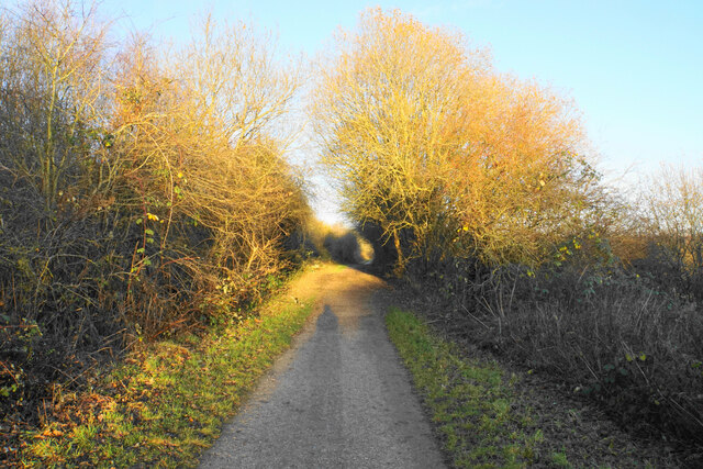
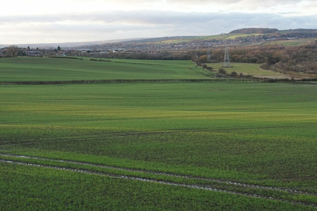
The village is renowned for its natural beauty, surrounded by rolling hills, lush green fields, and charming countryside landscapes. It is a popular destination for nature lovers and outdoor enthusiasts, offering numerous walking and cycling trails that showcase the stunning scenery of the Peak District.
Despite its small size, Lowgates boasts a range of amenities and facilities to cater to the needs of its residents. The village has a primary school, providing education for local children, as well as a village hall that hosts various community events and gatherings throughout the year. There are also a few local shops and a pub, where locals and visitors alike can enjoy a drink or a meal.
The village benefits from its proximity to nearby towns such as Staveley, which offers a wider range of services and amenities, including supermarkets, banks, and healthcare facilities. Additionally, the city of Chesterfield is just a short drive away, providing further access to shopping centers, leisure activities, and cultural attractions.
Overall, Lowgates offers a peaceful and idyllic setting for residents to enjoy the beauty of the English countryside, while still being within easy reach of larger towns and cities for convenience and additional amenities.
If you have any feedback on the listing, please let us know in the comments section below.
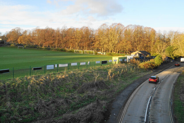
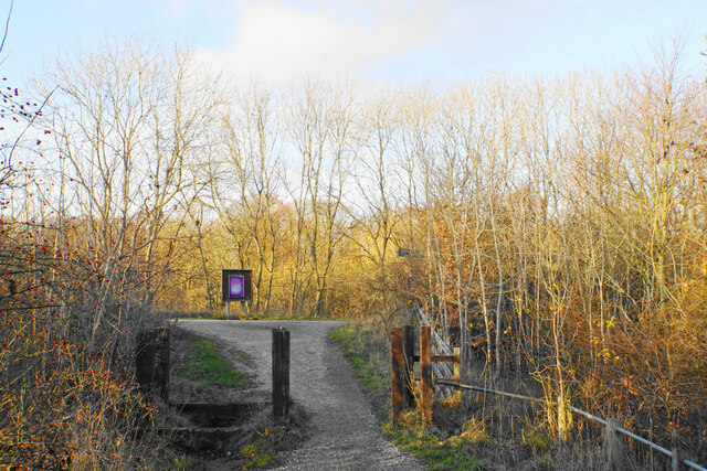
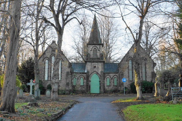
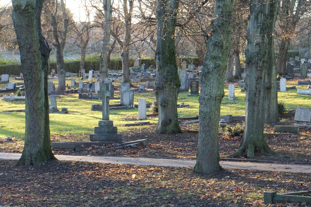
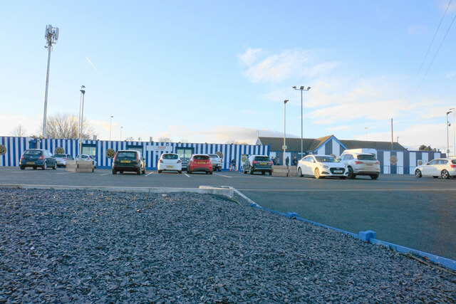
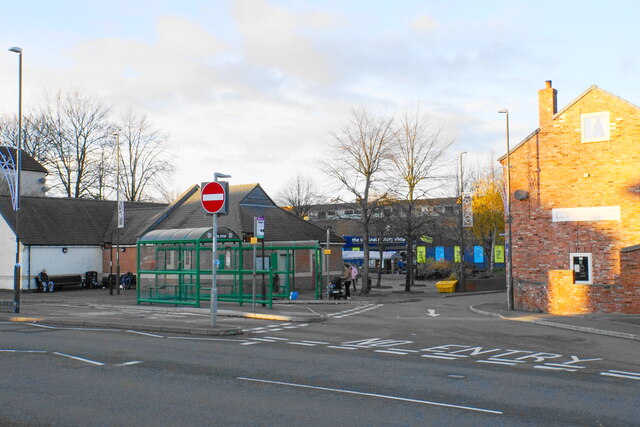
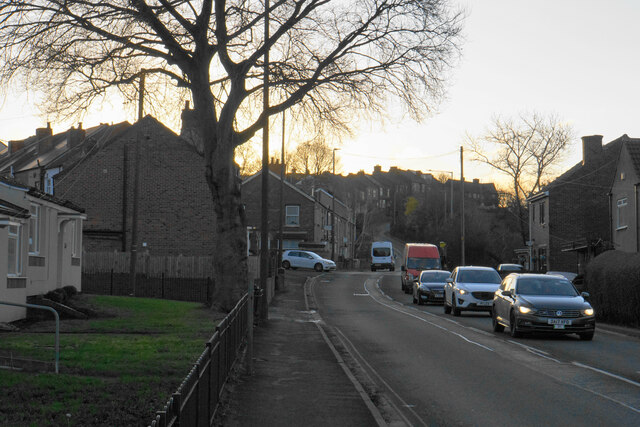
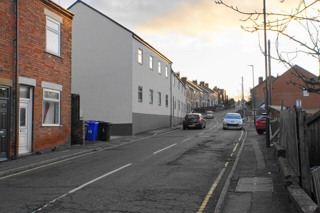
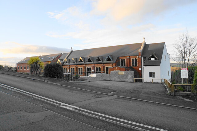
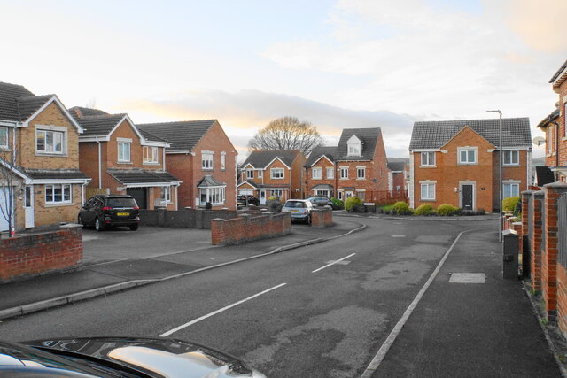
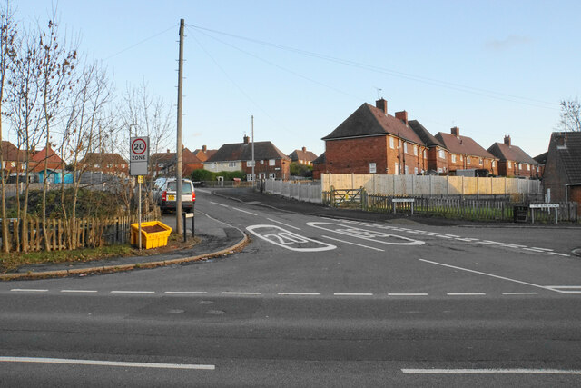
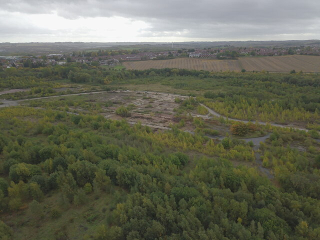
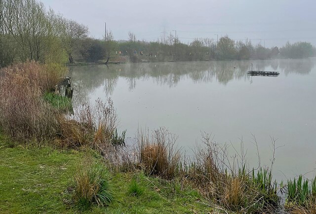
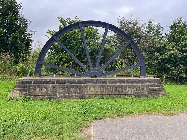
Lowgates Images
Images are sourced within 2km of 53.270455/-1.3425782 or Grid Reference SK4375. Thanks to Geograph Open Source API. All images are credited.

Lowgates is located at Grid Ref: SK4375 (Lat: 53.270455, Lng: -1.3425782)
Administrative County: Derbyshire
District: Chesterfield
Police Authority: Derbyshire
What 3 Words
///roofs.duck.flock. Near Staveley, Derbyshire
Nearby Locations
Related Wikis
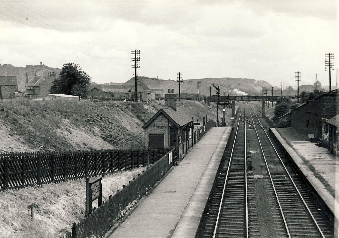
Staveley Town railway station
Staveley Town is a disused railway station in Staveley, Derbyshire in England. == Similarly-named stations == This station should not be confused with...

Staveley Central railway station
Staveley Central was a railway station serving the town of Staveley, Derbyshire, England. == History == The station was on the Great Central Main Line...

Staveley, Derbyshire
Staveley is a town and civil parish in the Borough of Chesterfield, Derbyshire, England. Located along the banks of the River Rother. It is (5 miles) northeast...

Netherthorpe, Derbyshire
Netherthorpe is a suburban area adjoining the town of Staveley, Derbyshire, to the east, lying just west of the River Doe Lea.The village is best known...
Netherthorpe School
Netherthorpe School is a secondary school with academy status based in Staveley in the Chesterfield district of Derbyshire, England. == History == The...
Staveley Miners Welfare F.C.
Staveley Miners Welfare Football Club is an English football club based in Staveley, Derbyshire. They play in the Northern Counties East Football League...
Poolsbrook Country Park
Poolsbrook Country Park is a park in Poolsbrook, North East Derbyshire, England. == History == It was the site of the former Colliery. It has been transformed...
Mastin Moor
Mastin Moor is a village east of Staveley in Derbyshire, United Kingdom. The village sits almost entirely on the north side of the A619. As well as houses...
Nearby Amenities
Located within 500m of 53.270455,-1.3425782Have you been to Lowgates?
Leave your review of Lowgates below (or comments, questions and feedback).