Lower Lank

Settlement in Cornwall

England

Lower Lank

Stone Stile SX0776e B3266 to bottom of valley to East of Tregarrick Farm. The only stile on a public footpath across Tregarrick Farm.
A granite cattle stile with a gap under the top stone only.  One step on West side.  Five steps on East side.  Land lower East side.    
Height 0.65m west side, 1.75m east side. Width 0.60m.
Public footpath 551/7/2 (silver) B3266 east of Tregarrick Farm.
Stone Stile SX0776e Credit: Paul Tucker

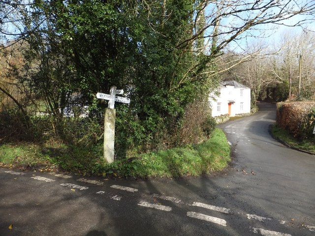
Lower Lank is a picturesque hamlet located in the county of Cornwall, England. Situated near the northern coast of Cornwall, it is nestled within the rolling hills and idyllic countryside of the region. The hamlet is part of the wider civil parish of St Kew, which encompasses several nearby settlements.

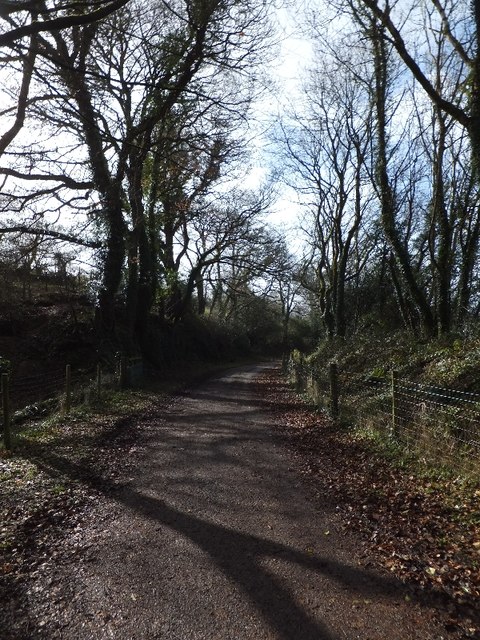
Lower Lank is known for its charming and traditional Cornish character, with stone-built cottages and quaint farmhouses dotting the landscape. The hamlet exudes a peaceful and tranquil atmosphere, making it a popular destination for those seeking a quiet retreat away from the hustle and bustle of city life.

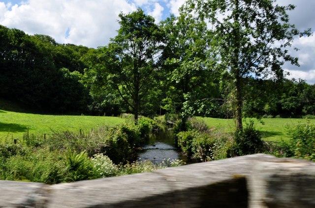
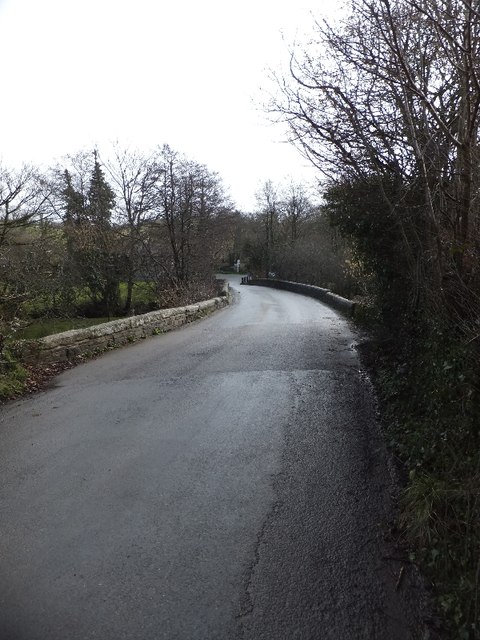
Surrounded by lush green fields and meandering streams, Lower Lank offers stunning views of the surrounding countryside. The area is also home to a diverse range of wildlife, including various species of birds and small mammals, adding to its natural beauty.

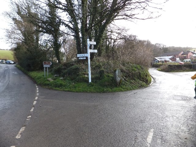
Despite its small size, Lower Lank benefits from its proximity to nearby amenities. The village of St Kew is just a short distance away, offering essential services such as a post office, convenience store, and a welcoming pub. The coastal town of Padstow is also within reach, providing a wider range of amenities, including shops, restaurants, and recreational facilities.

Lower Lank is an ideal base for exploring the wider Cornwall region, with its close proximity to popular tourist attractions such as the North Cornwall coast, famous for its stunning beaches and rugged cliffs. The nearby Camel Estuary and the picturesque Camel Trail, a scenic walking and cycling route, also offer opportunities for outdoor activities and exploration.

In summary, Lower Lank is a charming and peaceful hamlet set amidst the natural beauty of Cornwall, offering a tranquil retreat for visitors and residents alike.

If you have any feedback on the listing, please let us know in the comments section below.
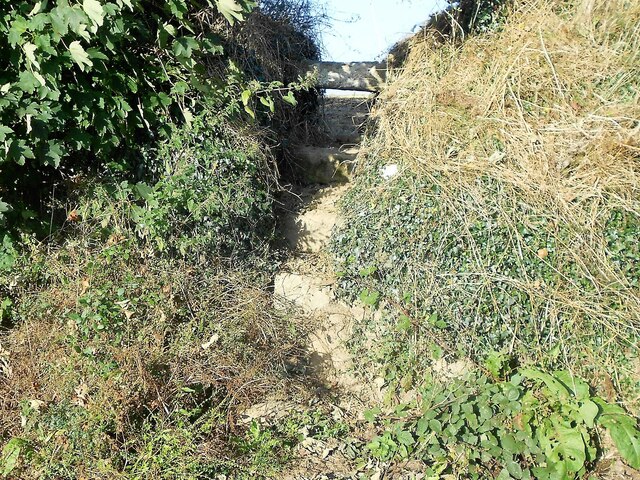
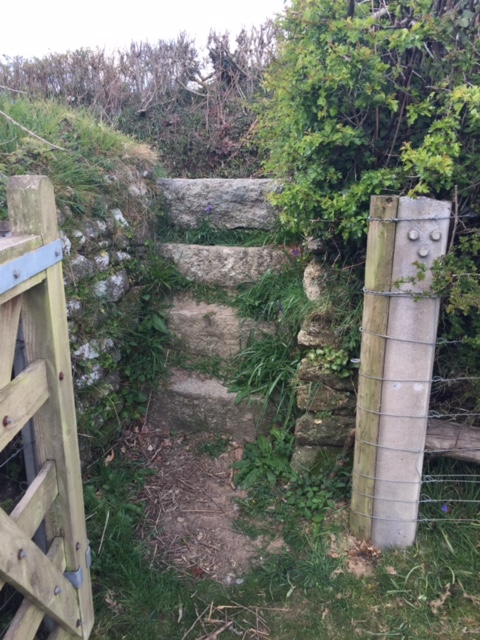
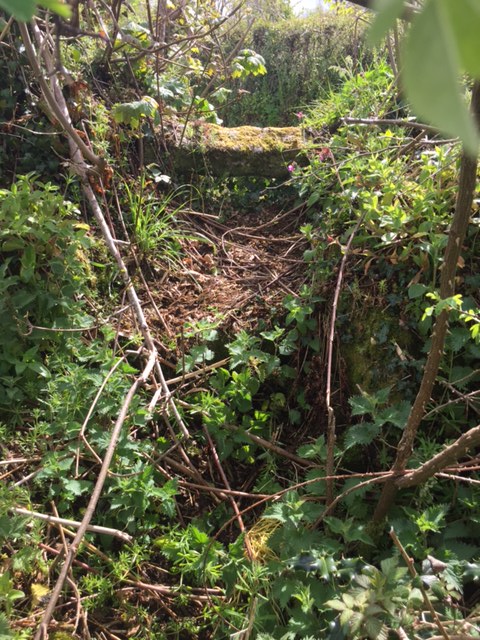
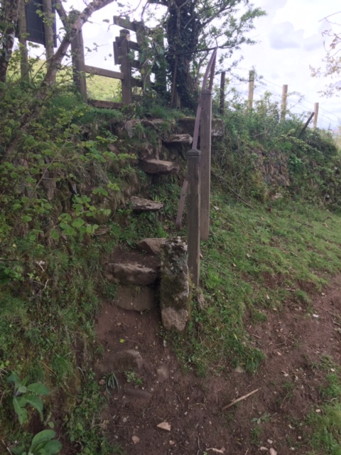
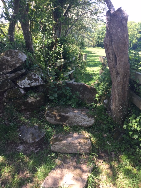
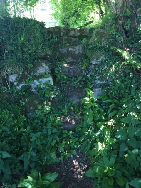
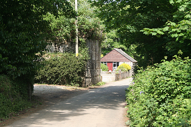
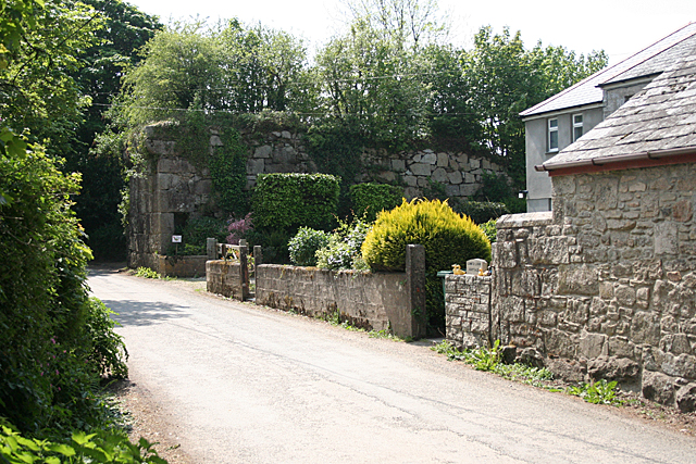
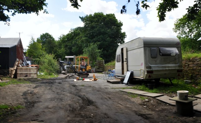
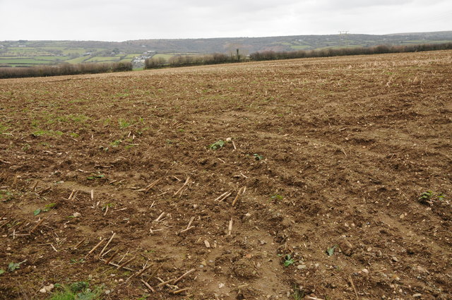
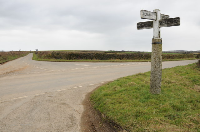
Lower Lank Images

Images are sourced within 2km of 50.54456/-4.6954347 or Grid Reference SX0975. Thanks to Geograph Open Source API. All images are credited.

Stone Stile SX0776e B3266 to bottom of valley to East of Tregarrick Farm. The only stile on a public footpath across Tregarrick Farm.
A granite cattle stile with a gap under the top stone only.  One step on West side.  Five steps on East side.  Land lower East side.    
Height 0.65m west side, 1.75m east side. Width 0.60m.
Public footpath 551/7/2 (silver) B3266 east of Tregarrick Farm.
Stone Stile SX0776e
B3266 to bottom of valley to East of Tregarrick Farm. The only stile on a public footpath across Tregarrick Farm. A granite cattle stile with a gap under the top stone only. One step on West side. Five steps on East side. Land lower East side. Height 0.65m west side, 1.75m east side. Width 0.60m. Public footpath 551/7/2 (silver) B3266 east of Tregarrick Farm.
Stone Stile SX0973a On the lane going westwards out of Blisland village towards Tresarrett.
Both sides: 3 granite steps and a slab top.
This stile is at the higher, eastern end of FP No. 503/22/1, 2, 3 (Gold).
Together with the stile at 08971 73115, in the hamlet of Tresarrett, this stile and the fields in between the stiles, give a shortcut between Blisland and Tresarrett.
Stone Stile SX0973a
On the lane going westwards out of Blisland village towards Tresarrett. Both sides: 3 granite steps and a slab top. This stile is at the higher, eastern end of FP No. 503/22/1, 2, 3 (Gold). Together with the stile at 08971 73115, in the hamlet of Tresarrett, this stile and the fields in between the stiles, give a shortcut between Blisland and Tresarrett.
Stone Stile SX0973b On the narrow lane that leads downhill from Tregenna (north west of Blisland) to Tregaddick.
Badly maintained, overgrown stile, which, at a guess, comprises three/four steps on both sides topped with another step on its side.
This stile gives access into a field and is part of FP No. 593/1/1 (Bronze). However, at its far end, it goes through the grounds of a property called ‘Tremasden’ at Keybridge, where the path has become overgrown with bushes etc. and ends at the de Lank River, with no official access to the nearby lane. It has therefore become unused.
Stone Stile SX0973b
On the narrow lane that leads downhill from Tregenna (north west of Blisland) to Tregaddick. Badly maintained, overgrown stile, which, at a guess, comprises three/four steps on both sides topped with another step on its side. This stile gives access into a field and is part of FP No. 593/1/1 (Bronze). However, at its far end, it goes through the grounds of a property called ‘Tremasden’ at Keybridge, where the path has become overgrown with bushes etc. and ends at the de Lank River, with no official access to the nearby lane. It has therefore become unused.
Stone Stile SX0974a Accessed across two fields from the hamlet of Pendrift (north of Blisland) at the top of the hill leading down to the valley known as Pendrift Bottoms.
A steep sheep stile with a metal handrail - held in place by one metal and two wooden upright posts - to assist its use. It consists of 4 steps set into the stone face of the hedge - the top step holds the upright of the handrail - with 2, widely spaced, stone steps below these, and one stone set in the earth at the bottom to aid access.
On FP No. 593/3/1 (Gold). The path originally gave quarry workers a short cut from Blisland and its surrounding hamlets to the de Lank quarry.
Stone Stile SX0974a
Accessed across two fields from the hamlet of Pendrift (north of Blisland) at the top of the hill leading down to the valley known as Pendrift Bottoms. A steep sheep stile with a metal handrail - held in place by one metal and two wooden upright posts - to assist its use. It consists of 4 steps set into the stone face of the hedge - the top step holds the upright of the handrail - with 2, widely spaced, stone steps below these, and one stone set in the earth at the bottom to aid access. On FP No. 593/3/1 (Gold). The path originally gave quarry workers a short cut from Blisland and its surrounding hamlets to the de Lank quarry.
Stone Stile SX0974b Beside a field gate linking fields at Pendrift.
North Side: A stone slab on the ground and two steps and a top stone on its edge.
South Side: Three steps and a top stone slightly below the top stone on the north side.
Public footpath 503/2/1 silver from Pendrift to Tregenna.
Stone Stile SX0974b
Beside a field gate linking fields at Pendrift. North Side: A stone slab on the ground and two steps and a top stone on its edge. South Side: Three steps and a top stone slightly below the top stone on the north side. Public footpath 503/2/1 silver from Pendrift to Tregenna.
Stone Stile SX0974c Between two wooden stiles and beside a stream that divides the fields on the Pendrift side of the stream from the fields on the Tregenna side of the stream.
North Side: A high stile that consists of a bank up from the stream then six stone steps of varying widths and distances between the steps and a top pillar stone on its side. South Side: Four steps up to the shared top pillar stone
Public footpath 503/2/1 silver from Pendrift to Tregenna.
Stone Stile SX0974c
Between two wooden stiles and beside a stream that divides the fields on the Pendrift side of the stream from the fields on the Tregenna side of the stream. North Side: A high stile that consists of a bank up from the stream then six stone steps of varying widths and distances between the steps and a top pillar stone on its side. South Side: Four steps up to the shared top pillar stone Public footpath 503/2/1 silver from Pendrift to Tregenna.
St Breward: at Lower Lank In the centre of the image stands the granite abutment for a railway bridge which once carried the De Lank tramway from De Lank quarries to a branch of the Bodmin and Wadebridge railway at Wenfordbridge. From Lower Lank to Wenfordbridge the line descended into the Camel valley and was worked by an inclined plane, loaded wagons linked to a cable moved under gravity, pulling empties up the gradient
St Breward: at Lower Lank
In the centre of the image stands the granite abutment for a railway bridge which once carried the De Lank tramway from De Lank quarries to a branch of the Bodmin and Wadebridge railway at Wenfordbridge. From Lower Lank to Wenfordbridge the line descended into the Camel valley and was worked by an inclined plane, loaded wagons linked to a cable moved under gravity, pulling empties up the gradient
St Breward: lane to De Lank quarries As I recall, the granite stone on the right carries the message: 'De Lank Quarry'
St Breward: lane to De Lank quarries
As I recall, the granite stone on the right carries the message: 'De Lank Quarry'
St Breward: by Lower Lank Cottage Embanked incline plane and granite abutment for now vanished bridge over lane at Lower Lank, St Breward parish. The embankment was part of a tramway connecting the De Lank quarries with Wenfordbridge in the Camel valley below, where it connected with a branch of the Bodmin and Wadebridge railway. In St Breward parish
St Breward: by Lower Lank Cottage
Embanked incline plane and granite abutment for now vanished bridge over lane at Lower Lank, St Breward parish. The embankment was part of a tramway connecting the De Lank quarries with Wenfordbridge in the Camel valley below, where it connected with a branch of the Bodmin and Wadebridge railway. In St Breward parish
North Cornwall : River Camel Crossing the River Camel on one of the country lanes in North Cornwall.
North Cornwall : River Camel
Crossing the River Camel on one of the country lanes in North Cornwall.
North Cornwall : Farmland & Caravan A caravan and a man on a digger in a yard in the countryside of North Cornwall.
North Cornwall : Farmland & Caravan
A caravan and a man on a digger in a yard in the countryside of North Cornwall.
Arable land above the Camel valley
Crossroads with old signpost A crossroads to the south east of St Tudy with an unusual old signpost.
Crossroads with old signpost
A crossroads to the south east of St Tudy with an unusual old signpost.
Road junction and unusual signpost at Wenford Bridge The signpost uses a granite column as the base for the three-fingered direction pointer.
Road junction and unusual signpost at Wenford Bridge
The signpost uses a granite column as the base for the three-fingered direction pointer.
The bridge at Wenford The bridge crosses the River Camel; there are road junctions on each side of the bridge, showing how routes converge on the river crossing.
The bridge at Wenford
The bridge crosses the River Camel; there are road junctions on each side of the bridge, showing how routes converge on the river crossing.
Direction signs of various dates on east of Wenford Bridge  The signpost proudly announces that it is Cornwall, and has an addition hung under one finger.  The modern sign to Claylands has been supplemented by a sign to the Camel Trail, which starts (or finishes) here.  The granite column was an older road marker
Direction signs of various dates on east of Wenford Bridge
The signpost proudly announces that it is Cornwall, and has an addition hung under one finger. The modern sign to Claylands has been supplemented by a sign to the Camel Trail, which starts (or finishes) here. The granite column was an older road marker
Cycle racks and artwork at Wenfordbridge  Two dimensional sculptures of leaves beside the cycle racks at the end of the Camel Trail
Cycle racks and artwork at Wenfordbridge
Two dimensional sculptures of leaves beside the cycle racks at the end of the Camel Trail
Camel Trail near Penpont
Show me another place!

Lower Lank is located at Grid Ref: SX0975 (Lat: 50.54456, Lng: -4.6954347)

Unitary Authority: Cornwall

Police Authority: Devon and Cornwall

What 3 Words

///doubt.boat.stack. Near Helland, Cornwall

Nearby Locations

Lower Lank

Related Wikis

Lank, Cornwall

Lank (formerly also "Lanke") is a settlement in Cornwall, England, United Kingdom. It is situated approximately one mile (1.6 km) south of St Breward and...

Wenfordbridge

Wenfordbridge, or Wenford Bridge, is a hamlet some 6 miles (9.7 km) north of Bodmin and on the western flank of Bodmin Moor, in Cornwall, England. It takes...

Penpont, Cornwall

Penpont is a hamlet in the parish of St Breward, in north Cornwall, England, UK, in the Camel Valley.There is also a place called Penpont near Wadebridge...

De Lank Quarries

De Lank Quarries (grid reference SX101753) is an active quarry and a 54-acre geological Site of Special Scientific Interest in St Breward parish, north...

Related Videos

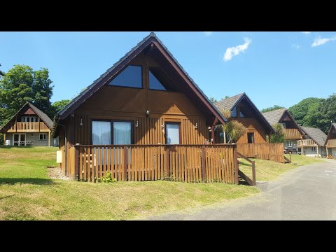
Hengar Manor Lodge, Sleeps 6 - Fun Filled Holiday Park Resort in North Cornwall, UK

This newly updated 3 bedroom Scandinavian style lodge, comfortably sleeps up to 6 guest and a dog on the beautiful and action ...

Our stay at Hengar Manor holidays park, Cornwall

Hrihaanandayaan #indian #indianinuk Located in the heart of Cornwall and set on a stunning country estate, Hengar Manor ...

Cornish Holiday properties at Hangar Manor Holiday Park, a great holiday destination.

Please watch our short (1 min 11sec) video of our properties (No91 and No 100) at Hangar Manor Holiday Park. Two fantastic ...

New Year in Cornwall

Sleepy Fox, Blisland.

Nearby Amenities

Located within 500m of 50.54456,-4.6954347
Bus Stop
De Lank Turn
Bus: yes
Naptan AtcoCode: 0800COA10495
Naptan Bearing: N
Naptan CommonName: De Lank Turn
Naptan NaptanCode: cordmpjg
Naptan Street: Unclassified
Naptan Verified: no
Public Transport: platform
Shelter: yes
Source: naptan_import
Lat/Long: 50.5485546/-4.6975526
Lower Lank
Place: hamlet
Source: OS_OpenData_StreetView
Wikidata: Q692957
Lat/Long: 50.5451306/-4.6956266
Power: pole
Lat/Long: 50.5469299/-4.6946543
Power: pole
Lat/Long: 50.5469148/-4.693243
Power: pole
Lat/Long: 50.5429977/-4.6917361
Power: pole
Lat/Long: 50.5424726/-4.6926641
Power: pole
Lat/Long: 50.5418999/-4.6937531
Power: pole
Lat/Long: 50.5463896/-4.6915296
Power: pole
Lat/Long: 50.5459788/-4.6924683
Power: pole
Lat/Long: 50.5455271/-4.6933776
Power: pole
Lat/Long: 50.5451777/-4.6941152
Power: pole
Lat/Long: 50.5458761/-4.6988457
Power: pole
Lat/Long: 50.5451743/-4.6996218
Power: pole
Lat/Long: 50.5443015/-4.7004762
Power: pole
Lat/Long: 50.5429686/-4.701899
Power: pole
Lat/Long: 50.5410374/-4.6953651
Power: pole
Lat/Long: 50.5409351/-4.6980688
Power: pole
Lat/Long: 50.5468682/-4.6913919
Power: pole
Lat/Long: 50.5480549/-4.6962328
Power: pole
Lat/Long: 50.547377/-4.6952747
Power: pole
Lat/Long: 50.5463321/-4.6983626
Power: pole
Lat/Long: 50.5466484/-4.6965103
Power: pole
Lat/Long: 50.5435169/-4.7013066
Power: pole
Lat/Long: 50.5484699/-4.6973293
Line Management: termination
Power: pole
Transformer: distribution
Lat/Long: 50.548697/-4.6979387
Power: pole
Lat/Long: 50.5436727/-4.6904602
The data included in this document is from www.openstreetmap.org. The data is made available under ODbL.

Have you been to Lower Lank?

Leave your review of Lower Lank below (or comments, questions and feedback).