Lower Exbury

Settlement in Hampshire New Forest

England

Lower Exbury

Farm Track and Bridleway A bit smart for just a bridleway, this is also a drive to East Hill Farm.
Farm Track and Bridleway Credit: Des Blenkinsopp

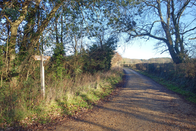
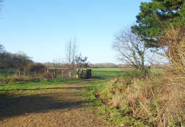
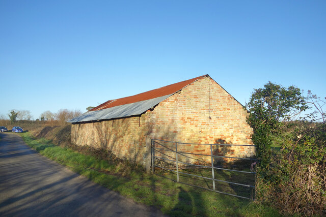
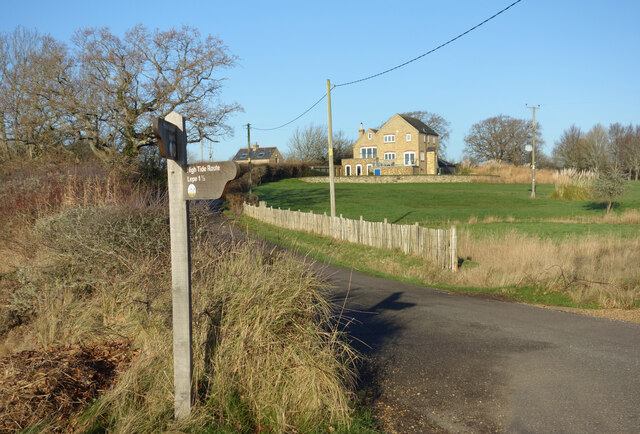
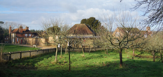
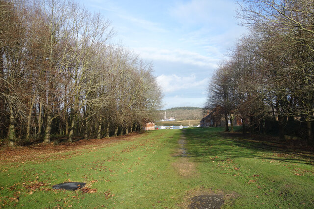
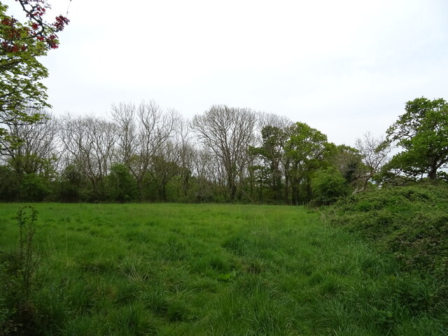
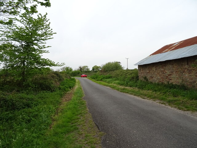
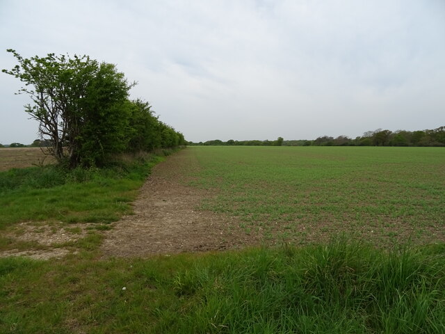
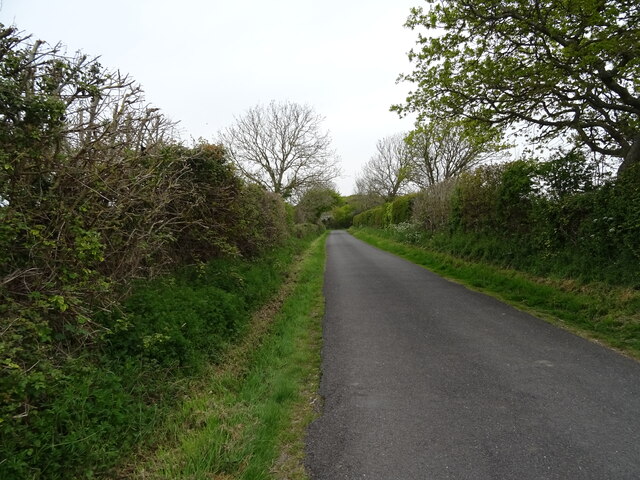
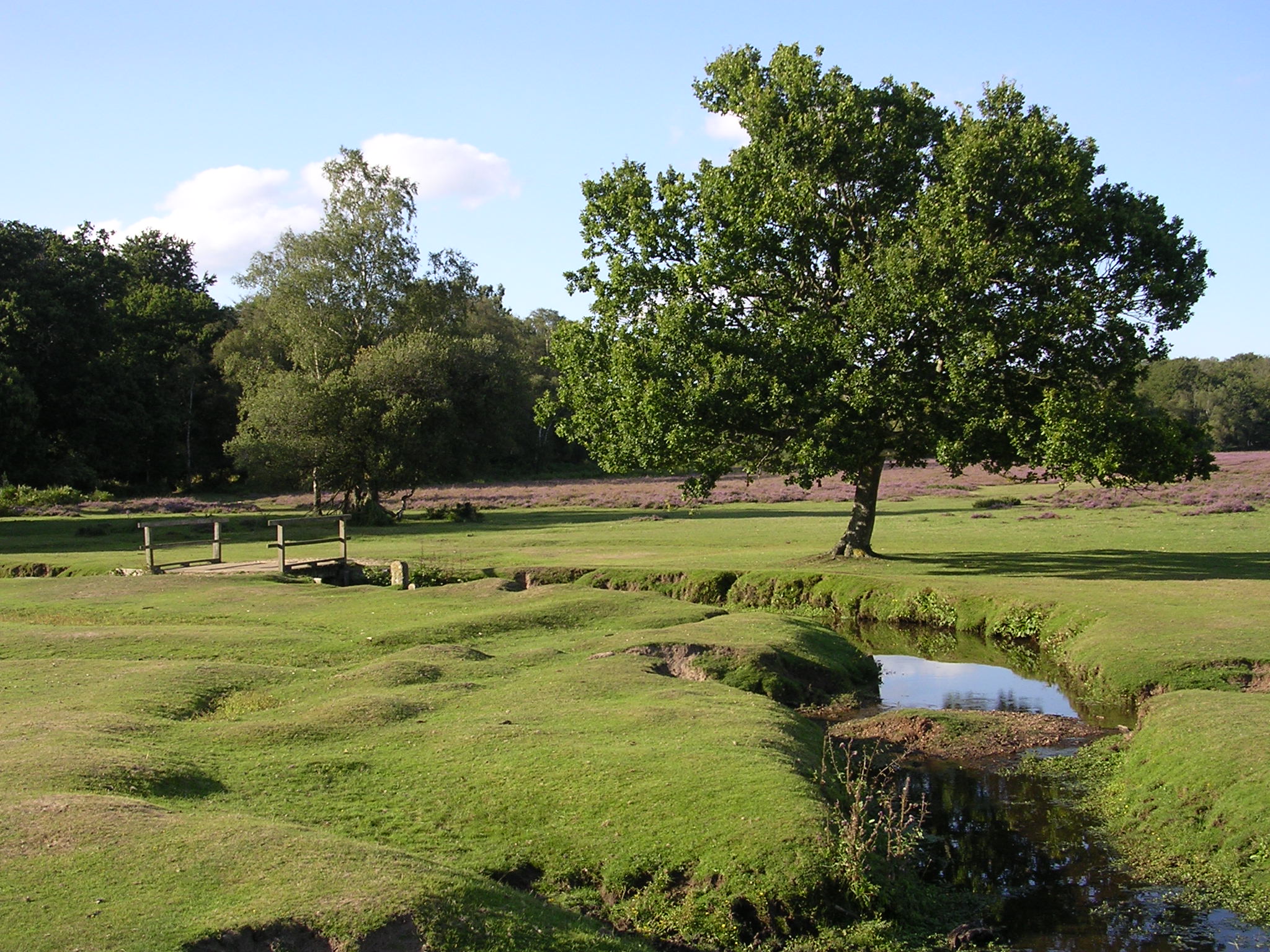
Lower Exbury is a small village located in the county of Hampshire, England. Situated within the New Forest National Park, it is nestled between the towns of Brockenhurst and Beaulieu. The village is known for its serene and picturesque setting, with its idyllic countryside landscapes and charming thatched-roof cottages.

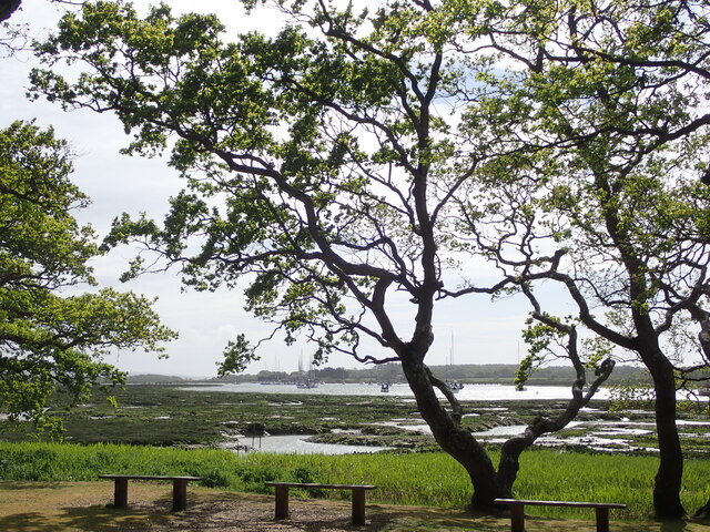
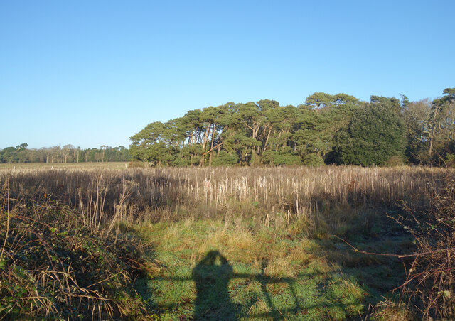
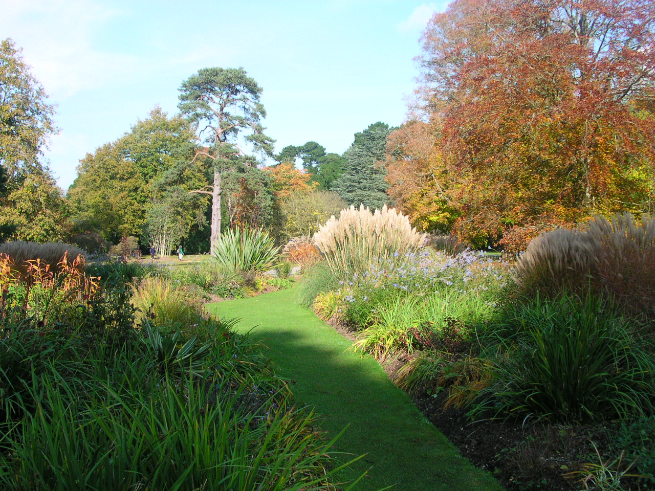
Lower Exbury is home to a tight-knit community of approximately 200 residents, who enjoy a peaceful and rural lifestyle. The village is renowned for its natural beauty, with an abundance of wildlife and stunning flora. The nearby Exbury Gardens, spanning over 200 acres, is a major attraction for both locals and visitors. These gardens are famous for their exquisite collection of rhododendrons, azaleas, and camellias, attracting horticulture enthusiasts from far and wide.

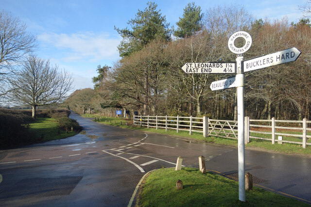
The village is well-connected to neighboring towns and cities, with good transport links. The nearest railway station is in Brockenhurst, providing easy access to places like Southampton and London. The village is also a popular spot for outdoor activities, including hiking, cycling, and horse riding, thanks to its extensive network of trails and bridleways.

In terms of amenities, Lower Exbury offers limited facilities, with a small local shop, a village hall, and a primary school. However, residents can find a wider range of services and amenities in nearby towns. The village has a strong sense of community, with various social and cultural events taking place throughout the year, fostering a friendly and welcoming atmosphere.

Overall, Lower Exbury offers a tranquil and scenic environment, making it an ideal place for those seeking a peaceful countryside lifestyle, surrounded by natural beauty.

If you have any feedback on the listing, please let us know in the comments section below.

Lower Exbury Images

Images are sourced within 2km of 50.78761/-1.4044276 or Grid Reference SZ4298. Thanks to Geograph Open Source API. All images are credited.

Farm Track and Bridleway A bit smart for just a bridleway, this is also a drive to East Hill Farm.
Farm Track and Bridleway
A bit smart for just a bridleway, this is also a drive to East Hill Farm.
Footpath to Cump Copse Public footpath through farmland near Exbury.
Footpath to Cump Copse
Public footpath through farmland near Exbury.
Three Stones, Barn The map calls this Three Stones, I'm not sure why. Two Sheds would be a better name because all that's here is this place and another one much the same off to my right.
Three Stones, Barn
The map calls this Three Stones, I'm not sure why. Two Sheds would be a better name because all that's here is this place and another one much the same off to my right.
High Tide at Exbury The water comes right up to the road at this point.
High Tide at Exbury
The water comes right up to the road at this point.
Old Stick In The Mud Often used derogatively for someone who is a bit grumpy and set in their ways, in this case it can be taken at face value.
Mudflats are very good at preserving old remains of long gone structures.
Old Stick In The Mud
Often used derogatively for someone who is a bit grumpy and set in their ways, in this case it can be taken at face value. Mudflats are very good at preserving old remains of long gone structures.
House and Footpath Sign Down by the estuary here, the sign points out the two options for walking by the coast, along the shore when the tide is out or down the road when it's not. The house is one of a number of isolated properties outside Exbury village which make up the scattered parish of Exbury and Lepe.
House and Footpath Sign
Down by the estuary here, the sign points out the two options for walking by the coast, along the shore when the tide is out or down the road when it's not. The house is one of a number of isolated properties outside Exbury village which make up the scattered parish of Exbury and Lepe.
Exbury House River Beaulieu at Salternshill from the grounds of Exbury House, Hampshire
Exbury House
River Beaulieu at Salternshill from the grounds of Exbury House, Hampshire
Road Junction, Bucklers Hard By the entrance to the museum village at Bucklers Hard.
Road Junction, Bucklers Hard
By the entrance to the museum village at Bucklers Hard.
Orchard at Bucklers Hard At the museum village of Bucklers Hard where wooden ships were built at one time.
Apples were grown and stored by the villagers as an important part of their diet. Now the fruit is harvested to make a local brand of apple juice.
Orchard at Bucklers Hard
At the museum village of Bucklers Hard where wooden ships were built at one time. Apples were grown and stored by the villagers as an important part of their diet. Now the fruit is harvested to make a local brand of apple juice.
The old village street, Bucklers Hard A wide avenue from the main road down to the old shipbuilding village of Bucklers Hard. Nowadays it's just a grassy public footpath. Entry to the village is on foot from the car park off to the right.
The old village street, Bucklers Hard
A wide avenue from the main road down to the old shipbuilding village of Bucklers Hard. Nowadays it's just a grassy public footpath. Entry to the village is on foot from the car park off to the right.
Aldermoor Land south of Exbury named on the map as Aldermoor.
Aldermoor
Land south of Exbury named on the map as Aldermoor.
Beach and marsh
Beach and marsh
Coastal road towards Exbury
Beach and marsh
Beach and marsh
Grazing, Three Stones
Minor road, Three Stones
Crop field and hedgerow
Minor road towards Exbury
Show me another place!

Lower Exbury is located at Grid Ref: SZ4298 (Lat: 50.78761, Lng: -1.4044276)

Administrative County: Hampshire

District: New Forest

Police Authority: Hampshire

What 3 Words

///shifts.choice.damp. Near Gurnard, Isle of Wight

Related Wikis

Exbury House

Exbury House is an English country house in Exbury and Lepe, Hampshire, situated on the edge of the New Forest. It is a Grade II* listed building with...

Exbury Gardens

Exbury Gardens is a 200-acre (81 ha) informal woodland garden in Hampshire, England with large collections of rhododendrons, azaleas and camellias, and...

Exbury

Exbury is a village in Hampshire, England. It is in the civil parish of Exbury and Lepe. It lies just in the New Forest, near the Beaulieu River and about...

Gull Island (Hampshire)

Gull Island is a small uninhabited island at the mouth of the Beaulieu River in The Solent. The island is an area of raised ground approximately 1000 metres...

Buckler's Hard

Buckler's Hard is a hamlet on the banks of the Beaulieu River in the English county of Hampshire. With its Georgian cottages running down to the river...

Exbury and Lepe

Exbury and Lepe is a civil parish in the New Forest in Hampshire, England. It is bounded to the west by the Beaulieu River, to the south by the shore...
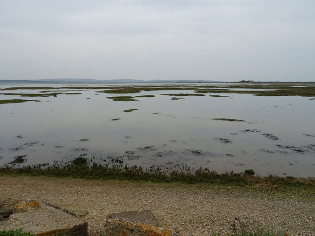
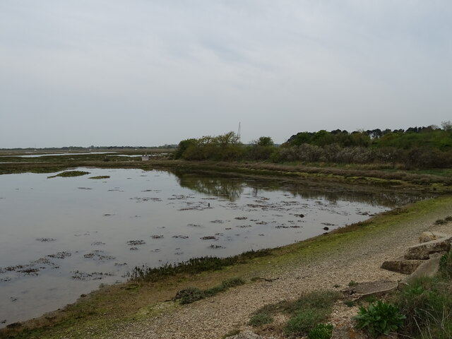
Beaulieu River

The Beaulieu River ( BEW-lee), formerly known as the River Exe, is a small river draining much of the central New Forest in Hampshire, southern England...

RAF Needs Oar Point

Royal Air Force Needs Oar Point or more simply RAF Needs Oar Point is a former Royal Air Force advanced landing ground located near Lymington in Hampshire...

Nearby Amenities

Located within 500m of 50.78761,-1.4044276
Seamark Light Character: F
Seamark Light Colour: green
Lat/Long: 50.7886346/-1.4089125
Seamark Light Character: F
Seamark Light Colour: green
Lat/Long: 50.7861426/-1.4108514
Lower Exbury
Place: hamlet
Lat/Long: 50.7876993/-1.4038401
The data included in this document is from www.openstreetmap.org. The data is made available under ODbL.

Have you been to Lower Exbury?

Leave your review of Lower Exbury below (or comments, questions and feedback).