Lower Fant
Settlement in Kent Maidstone
England
Lower Fant
Lower Fant is a small residential area located in Maidstone, Kent, England. Situated to the south of the town center, it is bordered by Upper Fant to the north and Loose to the east. The neighborhood is primarily residential with a mix of housing, including terraced houses, semi-detached properties, and some apartments.
Lower Fant is known for its quiet and peaceful atmosphere, making it an attractive place to live for families and professionals seeking a tranquil environment. The area benefits from being close to local amenities, including shops, schools, and healthcare facilities. The neighborhood also offers easy access to the town center, which is just a short distance away.
One of the notable features of Lower Fant is its proximity to the picturesque Loose Valley Conservation Area. Residents can enjoy scenic walks, wildlife spotting, and peaceful surroundings in this beautiful natural setting. The area also boasts several green spaces and parks, providing residents with opportunities for outdoor activities and relaxation.
Transportation in Lower Fant is convenient, with good road connections to the nearby towns of Maidstone and Loose. The area is served by regular bus services, offering easy access to other parts of the town and surrounding areas. Maidstone East railway station is also within close proximity, providing rail connections to London and other major cities.
In summary, Lower Fant is a peaceful residential area in Maidstone, Kent, offering a tranquil living environment, close proximity to amenities, and easy access to natural spaces for outdoor activities.
If you have any feedback on the listing, please let us know in the comments section below.
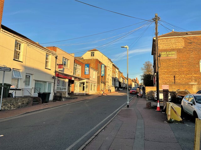
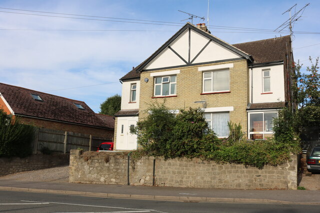
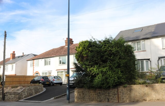
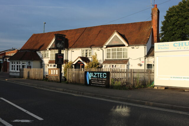
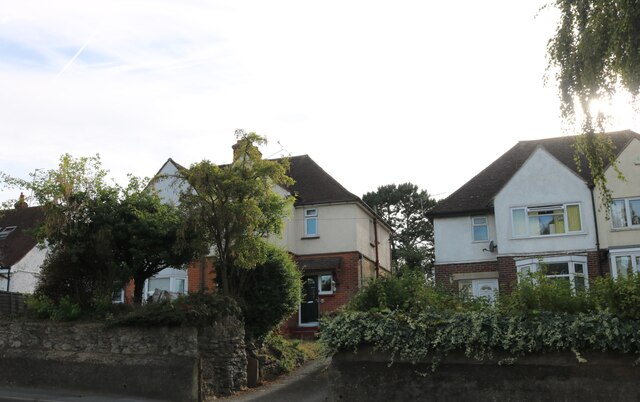
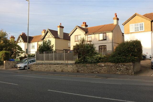
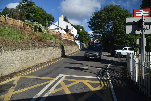
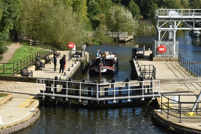
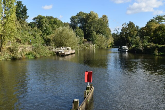
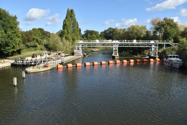
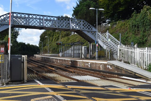
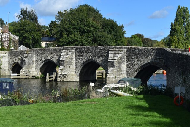
Lower Fant Images
Images are sourced within 2km of 51.265218/0.50754491 or Grid Reference TQ7554. Thanks to Geograph Open Source API. All images are credited.

Lower Fant is located at Grid Ref: TQ7554 (Lat: 51.265218, Lng: 0.50754491)
Administrative County: Kent
District: Maidstone
Police Authority: Kent
What 3 Words
///snow.noise.ruins. Near Maidstone, Kent
Nearby Locations
Related Wikis
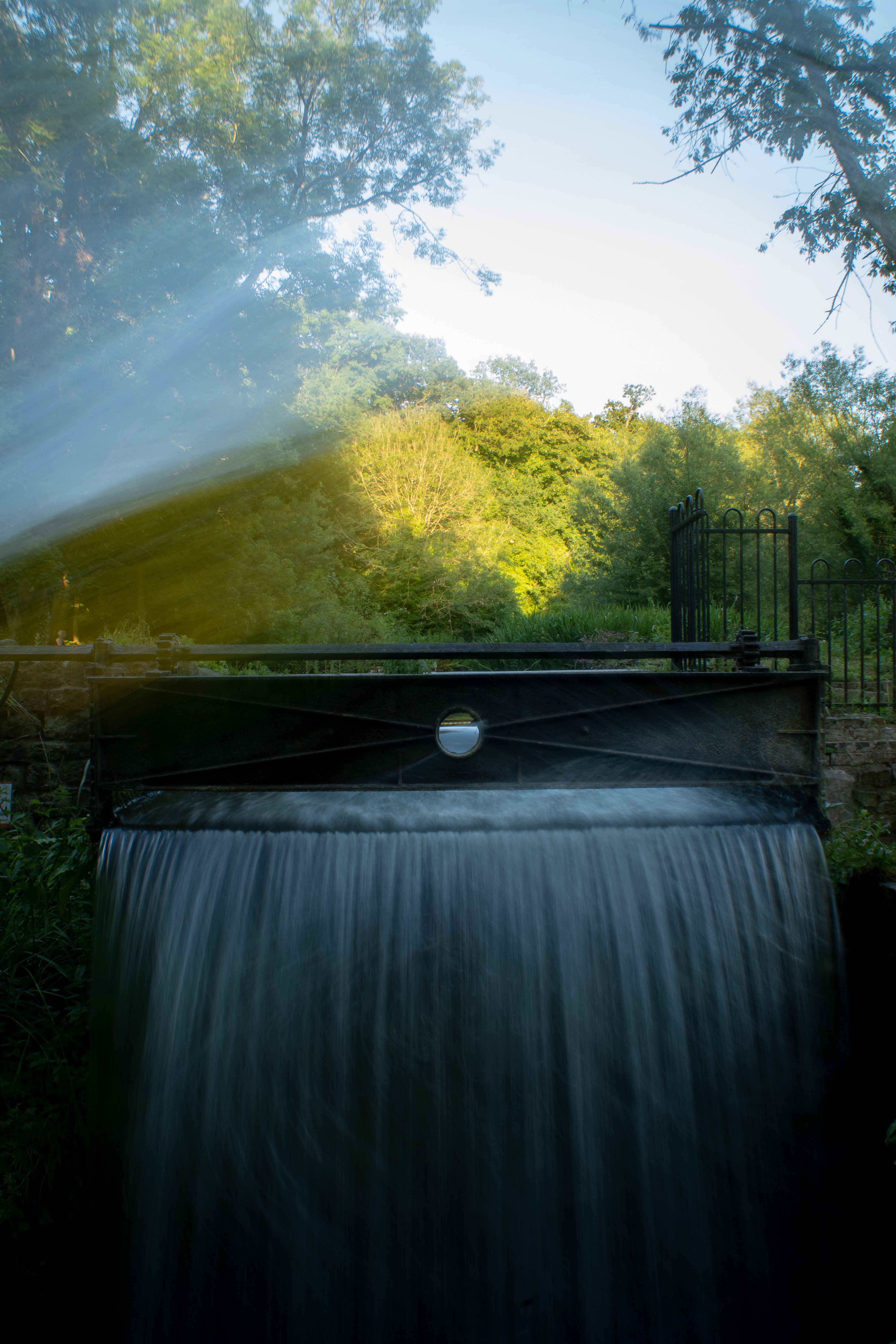
Loose Stream
The Loose Stream sometimes called the River Loose or Langley Stream is a tributary of the River Medway notable for the number of watermills that it powered...

Tovil
Tovil is a civil parish in the Borough of Maidstone, in Kent in the South East of England. It is a mixture of residential and industrial zoning, with an...

Tovil railway station
Tovil station is a closed railway station on the Medway Valley Line. The station opened in 1884 and closed in 1943. == History == The Medway Valley Line...

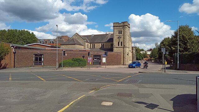
St Michael and All Angels Church, Maidstone
St Michael and All Angels Church is a parish church in Maidstone, Kent, England. It is a Grade II listed building. == Building == St Margaret's Church...
Nearby Amenities
Located within 500m of 51.265218,0.50754491Have you been to Lower Fant?
Leave your review of Lower Fant below (or comments, questions and feedback).