St Margarets Creek

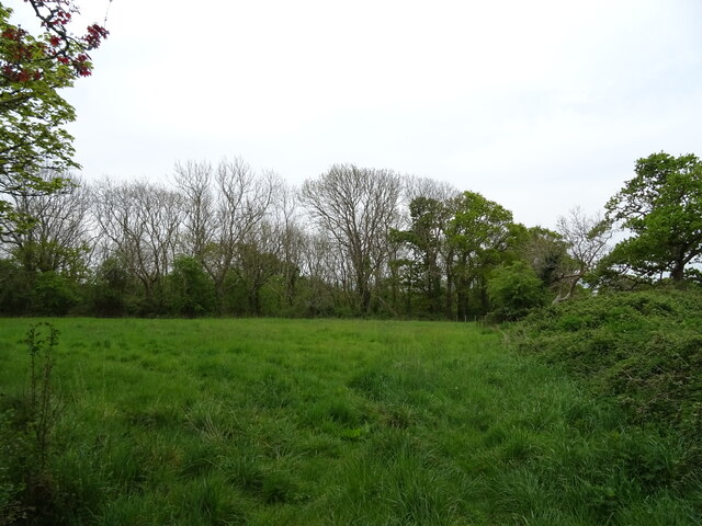
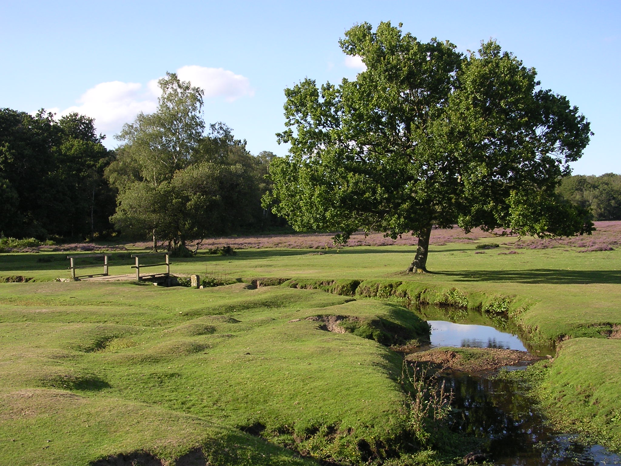
Coastal Marsh, Saltings in Hampshire New Forest

England

St Margarets Creek

Farm Track and Bridleway A bit smart for just a bridleway, this is also a drive to East Hill Farm.
Farm Track and Bridleway Credit: Des Blenkinsopp

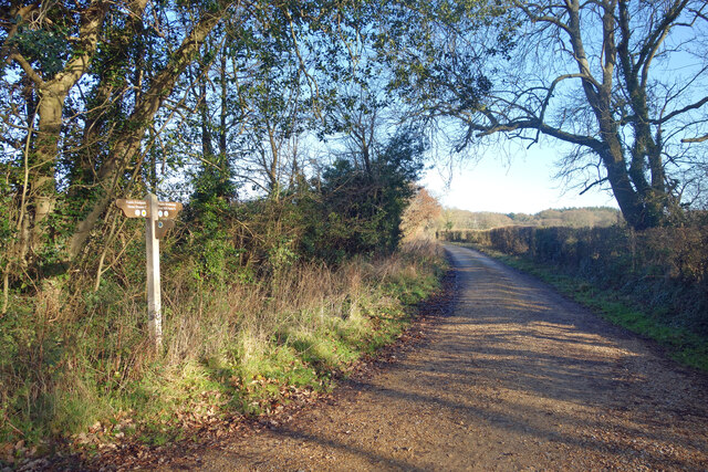
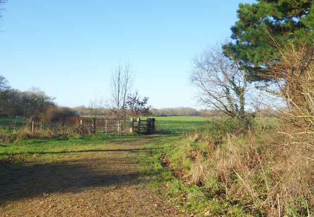
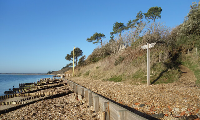
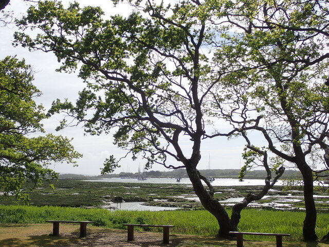
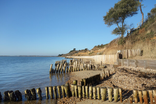
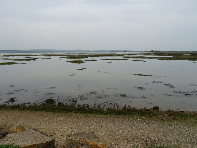
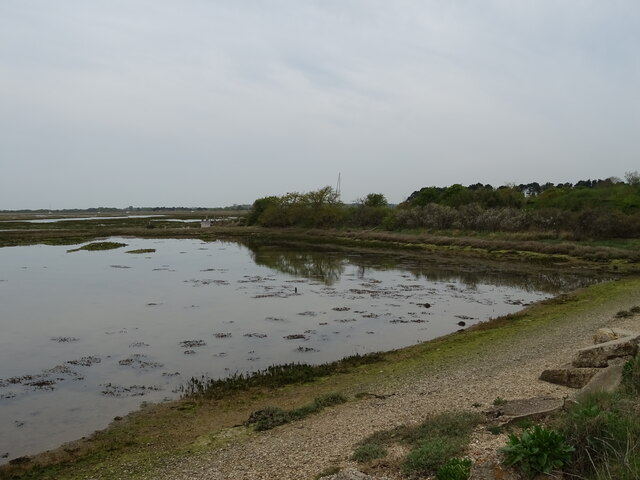
St Margarets Creek is a picturesque coastal marsh located in Hampshire, England. Nestled within the scenic region of the New Forest National Park, it is renowned for its diverse ecosystem and stunning natural beauty. The creek is formed by the convergence of several streams and rivers, including the Beaulieu River and the Lymington River, before flowing into the Solent, a strait separating the Isle of Wight from mainland England.

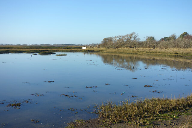
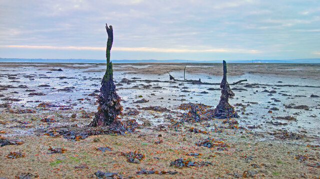
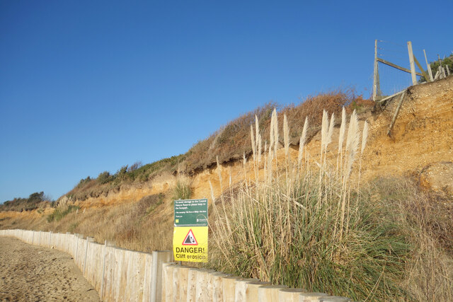
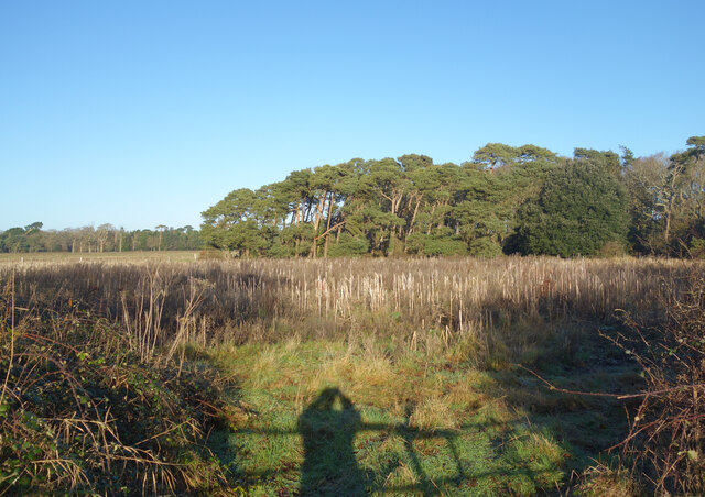
The marshland surrounding St Margarets Creek is known as a saltings, a term used to describe an area of coastal marshes that are periodically flooded by tidal waters. This unique environment provides a habitat for a wide range of flora and fauna, including various species of salt-tolerant plants, migratory birds, and marine life.

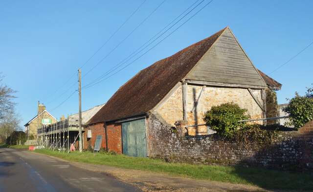
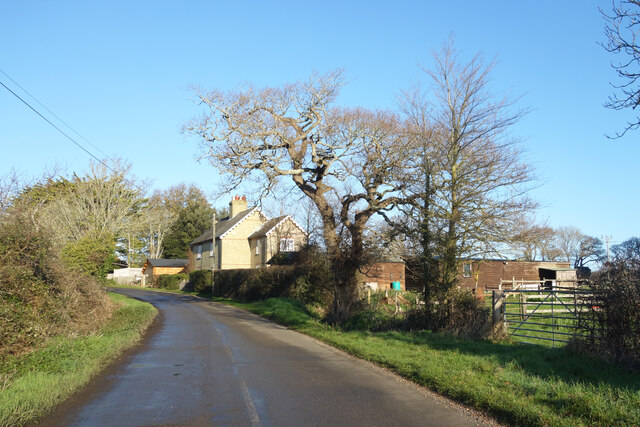
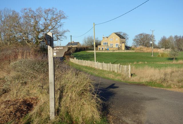
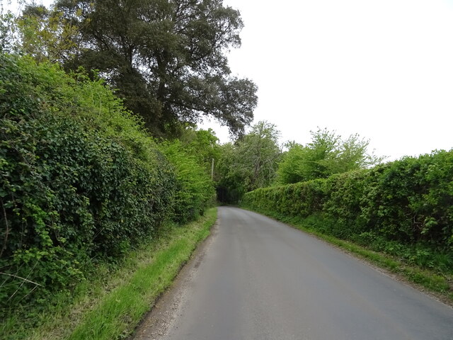
Visitors to St Margarets Creek can explore the area on foot using the network of footpaths and trails that wind through the marshes. The marshland offers stunning panoramic views of the surrounding countryside, with grazing cattle and wild ponies often seen in the distance.

Aside from its natural beauty, St Margarets Creek holds historical significance, as evidence of Roman salt production has been discovered in the area. Salt was a valuable commodity during Roman times, and the marshes were used to extract salt from seawater through evaporation.

Overall, St Margarets Creek in Hampshire is a haven for nature enthusiasts, history buffs, and those seeking tranquility in a breathtaking coastal landscape.

If you have any feedback on the listing, please let us know in the comments section below.

St Margarets Creek Images

Images are sourced within 2km of 50.782618/-1.395427 or Grid Reference SZ4298. Thanks to Geograph Open Source API. All images are credited.

Farm Track and Bridleway A bit smart for just a bridleway, this is also a drive to East Hill Farm.
Farm Track and Bridleway
A bit smart for just a bridleway, this is also a drive to East Hill Farm.
Footpath to Cump Copse Public footpath through farmland near Exbury.
Footpath to Cump Copse
Public footpath through farmland near Exbury.
Old Barn at Lepe Farm Part of a group of farm buildings and houses at Lepe Farm.
Old Barn at Lepe Farm
Part of a group of farm buildings and houses at Lepe Farm.
Lepe Farm Lepe is described by Wikipedia as a linear hamlet. Since medieval times it has been part of the parish of Exbury and Lepe. <span class="nowrap"><a title="https://en.wikipedia.org/wiki/Lepe,_Hampshire" rel="nofollow ugc noopener" href="https://en.wikipedia.org/wiki/Lepe,_Hampshire">Link</a><img style="margin-left:2px;" alt="External link" title="External link - shift click to open in new window" src="https://s1.geograph.org.uk/img/external.png" width="10" height="10"/></span>
Lepe Farm
Lepe is described by Wikipedia as a linear hamlet. Since medieval times it has been part of the parish of Exbury and Lepe. LinkExternal link
Three Stones, Barn The map calls this Three Stones, I'm not sure why. Two Sheds would be a better name because all that's here is this place and another one much the same off to my right.
Three Stones, Barn
The map calls this Three Stones, I'm not sure why. Two Sheds would be a better name because all that's here is this place and another one much the same off to my right.
High Tide at Exbury The water comes right up to the road at this point.
High Tide at Exbury
The water comes right up to the road at this point.
Old Stick In The Mud Often used derogatively for someone who is a bit grumpy and set in their ways, in this case it can be taken at face value.
Mudflats are very good at preserving old remains of long gone structures.
Old Stick In The Mud
Often used derogatively for someone who is a bit grumpy and set in their ways, in this case it can be taken at face value. Mudflats are very good at preserving old remains of long gone structures.
House and Footpath Sign Down by the estuary here, the sign points out the two options for walking by the coast, along the shore when the tide is out or down the road when it's not. The house is one of a number of isolated properties outside Exbury village which make up the scattered parish of Exbury and Lepe.
House and Footpath Sign
Down by the estuary here, the sign points out the two options for walking by the coast, along the shore when the tide is out or down the road when it's not. The house is one of a number of isolated properties outside Exbury village which make up the scattered parish of Exbury and Lepe.
Coastal Footpath at Lepe There is no path as such for some of the way, but most of the time you can walk along the top of the shoreline fairly easily. High tides can put parts of the route underwater though.
Coastal Footpath at Lepe
There is no path as such for some of the way, but most of the time you can walk along the top of the shoreline fairly easily. High tides can put parts of the route underwater though.
Crumbling Coastline at Lepe You can see the soft sandy stuff that makes up the cliffs along here. It is eroded very easily.
Crumbling Coastline at Lepe
You can see the soft sandy stuff that makes up the cliffs along here. It is eroded very easily.
Exbury House River Beaulieu at Salternshill from the grounds of Exbury House, Hampshire
Exbury House
River Beaulieu at Salternshill from the grounds of Exbury House, Hampshire
Aldermoor Land south of Exbury named on the map as Aldermoor.
Aldermoor
Land south of Exbury named on the map as Aldermoor.
Coastal Protection at Lepe The soft coastline is eroding. Protection here is provided by some fairly low key timberwork unlike nearby locations where more heavy duty concrete and boulders are used to try to limit the damage.
Coastal Protection at Lepe
The soft coastline is eroding. Protection here is provided by some fairly low key timberwork unlike nearby locations where more heavy duty concrete and boulders are used to try to limit the damage.
Minor road towards Inchmery
Beach and marsh
Beach and marsh
Coastal road towards Exbury
Beach and marsh
Beach and marsh
Grazing, Three Stones
Show me another place!

St Margarets Creek is located at Grid Ref: SZ4298 (Lat: 50.782618, Lng: -1.395427)

Administrative County: Hampshire

District: New Forest

Police Authority: Hampshire

What 3 Words

///enrolling.prune.dialect. Near Gurnard, Isle of Wight

Related Wikis

Gull Island (Hampshire)

Gull Island is a small uninhabited island at the mouth of the Beaulieu River in The Solent. The island is an area of raised ground approximately 1000 metres...

Exbury House

Exbury House is an English country house in Exbury and Lepe, Hampshire, situated on the edge of the New Forest. It is a Grade II* listed building with...

Beaulieu River

The Beaulieu River ( BEW-lee), formerly known as the River Exe, is a small river draining much of the central New Forest in Hampshire, southern England...
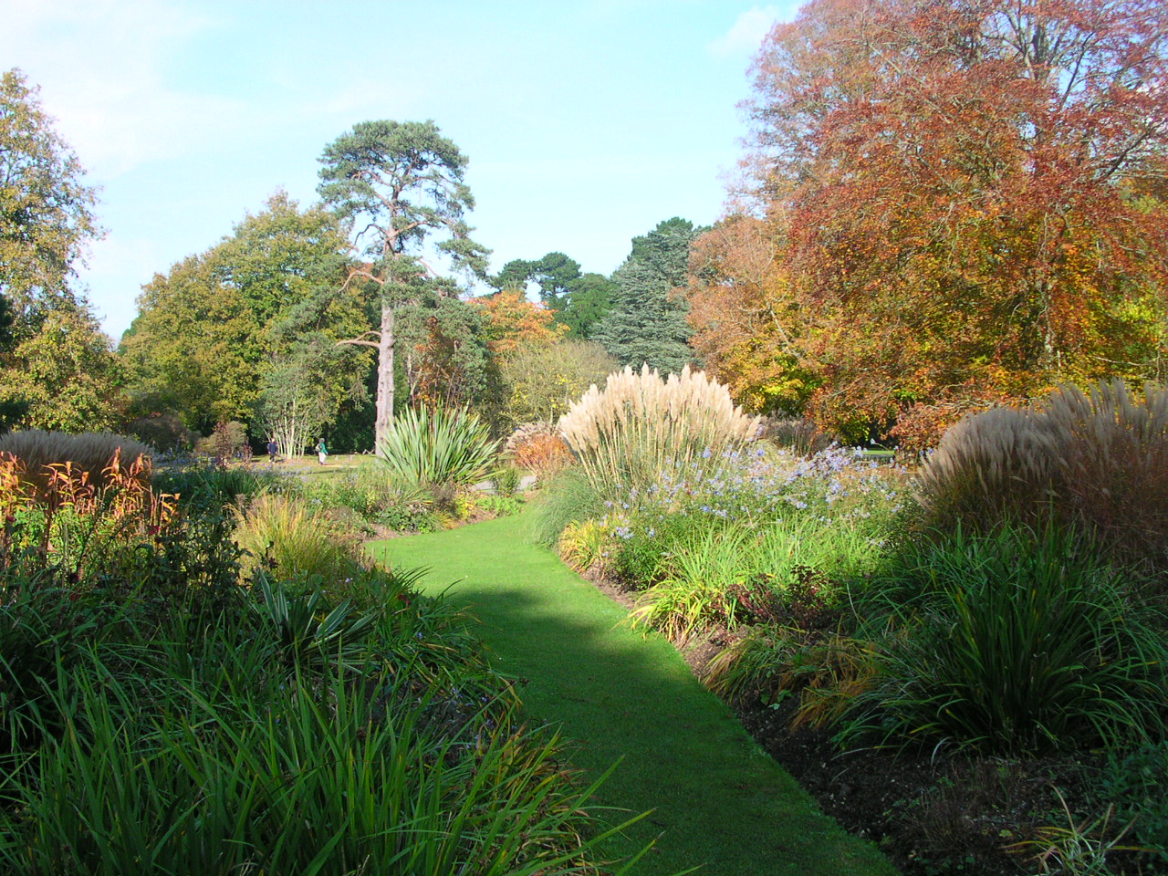
Exbury Gardens

Exbury Gardens is a 200-acre (81 ha) informal woodland garden in Hampshire, England with large collections of rhododendrons, azaleas and camellias, and...

Exbury

Exbury is a village in Hampshire, England. It is in the civil parish of Exbury and Lepe. It lies just in the New Forest, near the Beaulieu River and about...

Exbury and Lepe

Exbury and Lepe is a civil parish in the New Forest in Hampshire, England. It is bounded to the west by the Beaulieu River, to the south by the shore...
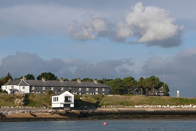
Lepe, Hampshire

Lepe is a linear hamlet on the Solent in south-west Hampshire, England. In the civil parish of Exbury and Lepe, It is beside the Dark Water, and has Lepe...

Dark Water (river)

The Dark Water is a 5.5-mile (8.9 km) river in south-west Hampshire, England. It flows south from a source a few metres north-east of the New Forest, reaching...

Nearby Amenities

Located within 500m of 50.782618,-1.395427
Seamark Beacon Lateral Category: starboard
Seamark Beacon Lateral Colour: green
Seamark Beacon Lateral Shape: pile
Seamark Beacon Lateral System: iala-a
Seamark Light Character: Fl
Seamark Light Colour: green
Seamark Light Period: 4
Seamark Name: 19
Seamark Topmark Colour: green
Seamark Topmark Shape: cone, point up
Seamark Type: beacon_lateral
Lat/Long: 50.7788608/-1.3962775
Seamark Beacon Lateral Category: port
Seamark Beacon Lateral Colour: red
Seamark Beacon Lateral Shape: pile
Seamark Beacon Lateral System: iala-a
Seamark Name: 24
Seamark Topmark Colour: red
Seamark Topmark Shape: cylinder
Seamark Type: beacon_lateral
Lat/Long: 50.7785081/-1.3940942
The data included in this document is from www.openstreetmap.org. The data is made available under ODbL.

Have you been to St Margarets Creek?

Leave your review of St Margarets Creek below (or comments, questions and feedback).