Nicolson's Noust

Coastal Marsh, Saltings in Shetland

Scotland

Nicolson's Noust

Lay-by beside the A970 road Near Levenwick.
Lay-by beside the A970 road Credit: John Lucas

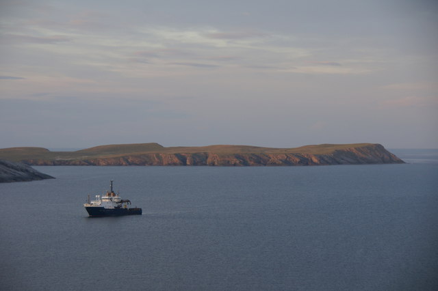
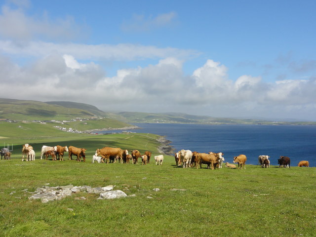
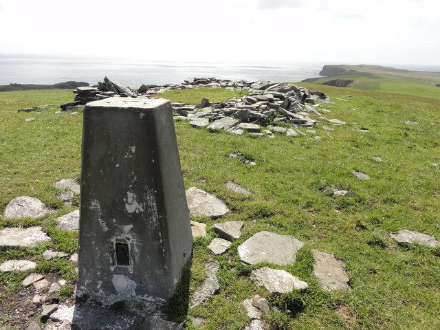
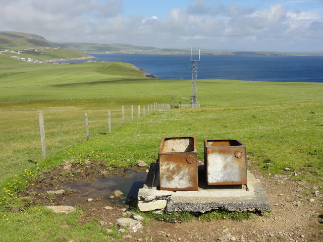
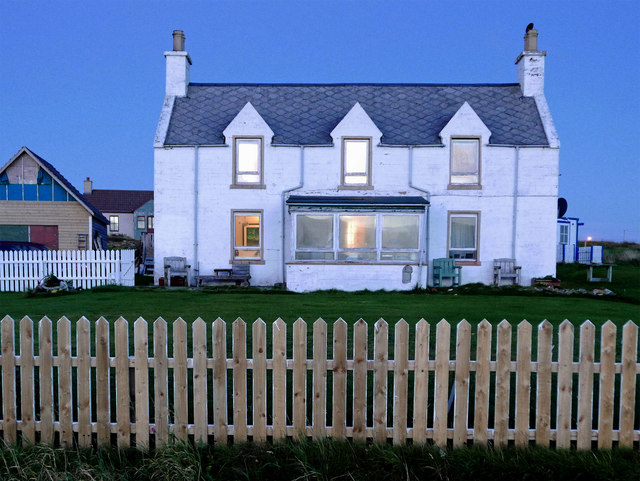
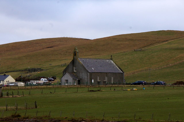
Nicolson's Noust is a coastal marsh located in Shetland, a group of islands off the northern coast of Scotland. It is characterized by its unique and diverse ecosystem, comprising of salt marshes and saltings. The area is a haven for various plant and animal species, making it an important site for conservation.

The marsh is primarily composed of salt-tolerant plants, such as saltmarsh grass, sea lavender, and sea aster. These plants have adapted to the harsh conditions of the coastal environment, surviving in saline soil and enduring occasional flooding by seawater. The presence of these plants creates a beautiful and colorful landscape, especially during the summer months when they bloom.

Nicolson's Noust is not only a paradise for plant life but also provides a habitat for a wide range of bird species. The marsh attracts various wading birds, including oystercatchers, curlews, and redshanks, which feed on the invertebrates that inhabit the mudflats and shallow waters. During the breeding season, the marsh teems with the sights and sounds of nesting birds, creating a vibrant and lively atmosphere.

The area is also of historical significance, as it was once used as a fishing station, or "noust," by local fishermen. Remnants of old fishing structures can still be found, adding an element of cultural heritage to the natural beauty of the site.

Nicolson's Noust is a popular destination for nature lovers and birdwatchers, offering a serene environment and a chance to observe and appreciate the diversity of wildlife that thrives in this coastal marsh.

If you have any feedback on the listing, please let us know in the comments section below.

Nicolson's Noust Images

Images are sourced within 2km of 59.991383/-1.2423457 or Grid Reference HU4223. Thanks to Geograph Open Source API. All images are credited.

Lay-by beside the A970 road Near Levenwick.
Lay-by beside the A970 road
Near Levenwick.
Meadowbank, Sandwick, from the air
Sanick, Sandwick, from the air
Sand Wick, Sandwick, from the air
Noness, Sandwick, from the air
NLV Pole Star anchored off Levenwick One of the Northern Lighthouse Board's lighthouse service vessels. Cumlewick Ness is just visible on the left, with No Ness in the background.
NLV Pole Star anchored off Levenwick
One of the Northern Lighthouse Board's lighthouse service vessels. Cumlewick Ness is just visible on the left, with No Ness in the background.
Sandwick coastline Rocky coastline at Sandwick
Sandwick coastline
Rocky coastline at Sandwick
Plastic Pig One of the many abandoned cars on Shetland, a Reliant fibreglass car full of rubbish which appears to have been there a long time.
Plastic Pig
One of the many abandoned cars on Shetland, a Reliant fibreglass car full of rubbish which appears to have been there a long time.
End of the road End of the road view at Noness out to sea
End of the road
End of the road view at Noness out to sea
Grazing cattle Grazing cattle with a view out to the sea
Grazing cattle
Grazing cattle with a view out to the sea
Triangulation Station Ordnance Survey triangulation station TP1791 - Burraland
Triangulation Station
Ordnance Survey triangulation station TP1791 - Burraland
Transmitter mast Cattle water troughs and a telecoms transmission mast
Transmitter mast
Cattle water troughs and a telecoms transmission mast
Channer Wick View from the road in to Channer Wick
Channer Wick
View from the road in to Channer Wick
The hoverfly Eupeodes corollae, Hoswick This species is a migrant in Shetland, here feeding on Hogweed (Heracleum sphondylium).
The hoverfly Eupeodes corollae, Hoswick
This species is a migrant in Shetland, here feeding on Hogweed (Heracleum sphondylium).
At the Ness of Hoswick Evening was fast approaching and the sky taking on a brownish hue.
At the Ness of Hoswick
Evening was fast approaching and the sky taking on a brownish hue.
The Berg, Ness of Hoswick The Point between Hos Wick and Channer Wick.
The Berg, Ness of Hoswick
The Point between Hos Wick and Channer Wick.
Dusk at Stove by Sandwick One house seemed to stay alive as all others sank into the darkness of the evening.  Lights were on in the rooms and the white facing reflected all the available light.
Dusk at Stove by Sandwick
One house seemed to stay alive as all others sank into the darkness of the evening. Lights were on in the rooms and the white facing reflected all the available light.
Sandwick kirk
Sandwick kirk
Show me another place!

Nicolson's Noust is located at Grid Ref: HU4223 (Lat: 59.991383, Lng: -1.2423457)

Unitary Authority: Shetland Islands

Police Authority: Highlands and Islands

What 3 Words

///vegetable.attends.husky. Near Sandwick, Shetland Islands

Related Wikis

Hoswick

Hoswick is a settlement in Sandwick in the south mainland of Shetland, Scotland, on the eastern part of the Dunrossness civil parish. It is separated from...

Sandwick, Dunrossness

see also Sandwick, Whalsay and Sandwick, OrkneySandwick (Old Norse: Sandvik "Sandy Bay") is a village and an ancient parish in the Shetland Islands, Scotland...

Levenwick

Levenwick is a small village about 17 miles (27 km) south of Lerwick, on the east side of the South Mainland of Shetland, Scotland. It is part of the parish...

Broch of Mousa

Broch of Mousa (or Mousa Broch) is a preserved Iron Age broch or round tower. It is on the island of Mousa in Shetland, Scotland. It is the tallest broch...

Catpund

Catpund is a quarry site in Shetland, Scotland, where steatite vessels were cut from the rock from prehistory onwards. The quarrying marks are still visible...

Mousa

Mousa (Old Norse: Mosey "moss island") is a small island in Shetland, Scotland, uninhabited since the nineteenth century. The island is known for the...

Peerie Bard

Perie Bard is one of the Shetland Islands. It is a small islet off the east coast of the island of Mousa.Although named 'Perie Bard' on OS Maps, the name...

Bigton

Bigton is a small settlement on South Mainland, Shetland, UK. Bigton is within the civil parish of Dunrossness.Bigton lies on the Atlantic coast of the...

Nearby Amenities

Located within 500m of 59.991383,-1.2423457
Power: pole
Lat/Long: 59.9880012/-1.238463
Power: pole
Lat/Long: 59.9885362/-1.238918
Power: pole
Lat/Long: 59.9889983/-1.2393153
Power: pole
Lat/Long: 59.9894431/-1.2396872
Power: pole
Lat/Long: 59.989576/-1.2396249
Power: pole
Lat/Long: 59.9900035/-1.2393893
Power: pole
Lat/Long: 59.9905638/-1.2391051
Power: pole
Lat/Long: 59.9911126/-1.2391513
Power: pole
Lat/Long: 59.991696/-1.2392022
Power: pole
Lat/Long: 59.9919594/-1.2392206
Power: pole
Lat/Long: 59.9928258/-1.2392784
Power: pole
Lat/Long: 59.993638/-1.2393454
Power: pole
Lat/Long: 59.9944373/-1.239417
Power: pole
Lat/Long: 59.9952298/-1.2394724
Power: pole
Lat/Long: 59.994874/-1.2479985
Power: pole
Lat/Long: 59.9947412/-1.2468898
Power: pole
Lat/Long: 59.9946233/-1.2457879
Power: pole
Lat/Long: 59.9948809/-1.2443626
Power: pole
Lat/Long: 59.9951732/-1.2428404
Power: pole
Lat/Long: 59.9954042/-1.2416045
Power: pole
Lat/Long: 59.9955994/-1.2406066
The data included in this document is from www.openstreetmap.org. The data is made available under ODbL.

Have you been to Nicolson's Noust?

Leave your review of Nicolson's Noust below (or comments, questions and feedback).