Lendings
Settlement in Yorkshire
England
Lendings
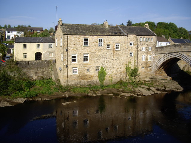
Lendings is a small village located in the county of Yorkshire, England. Situated in the picturesque countryside, it is surrounded by rolling hills, meadows, and charming farmsteads. Lendings is part of the larger district of Yorkshire Dales, renowned for its stunning landscapes and rich cultural heritage.
The village itself is characterized by its quaint and peaceful atmosphere, making it an ideal destination for those seeking a tranquil escape from the city. Lendings is home to a close-knit community that takes great pride in its rural traditions and way of life. The locals are known for their warm hospitality and welcoming nature, making visitors feel right at home.
Lendings boasts a number of historic landmarks and attractions that showcase its fascinating history. The village church, St. Mary's, is a notable architectural gem, dating back several centuries. Its beautiful stained glass windows and intricate stone carvings are a testament to the village's rich heritage.
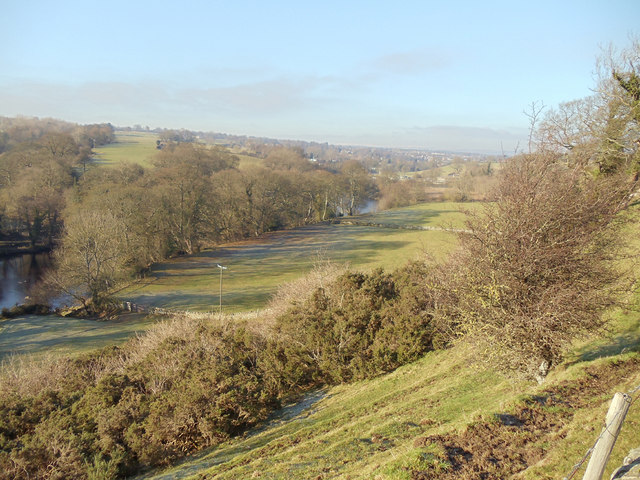
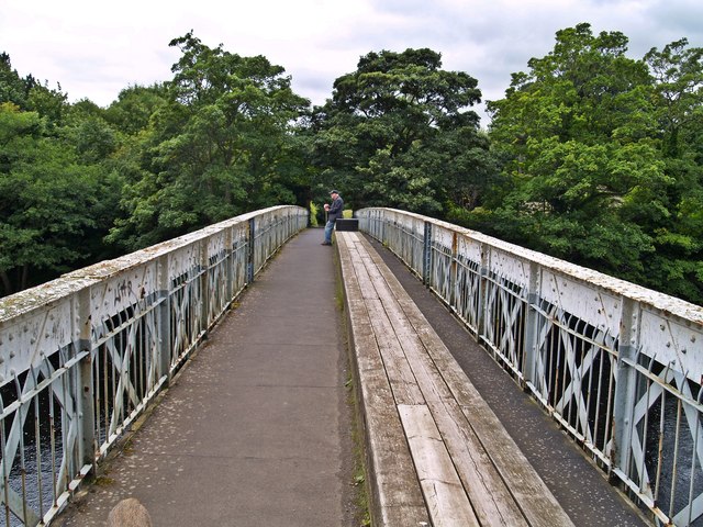
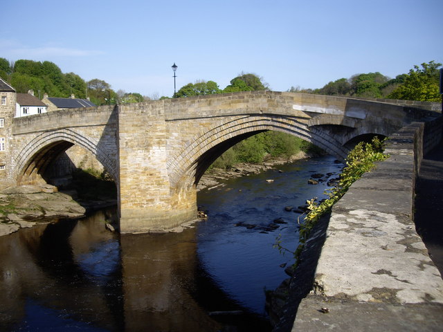
Nature enthusiasts will find plenty to explore in and around Lendings. The village is surrounded by vast expanses of unspoiled countryside, offering numerous walking and hiking trails for outdoor enthusiasts. The nearby Yorkshire Dales National Park is a haven for wildlife, with diverse flora and fauna to discover.
Lendings is also conveniently located near other popular tourist destinations in Yorkshire. The bustling market town of Skipton, known for its medieval castle and vibrant market, is just a short drive away. Additionally, the vibrant city of Leeds, with its thriving arts scene, world-class shopping, and cultural attractions, is within easy reach.
In summary, Lendings is a charming village nestled in the heart of Yorkshire's countryside, offering a peaceful retreat and a glimpse into the region's rich history and natural beauty.
If you have any feedback on the listing, please let us know in the comments section below.
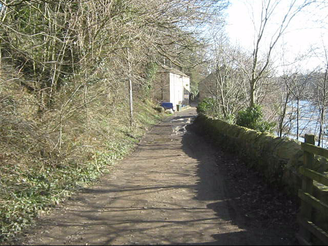
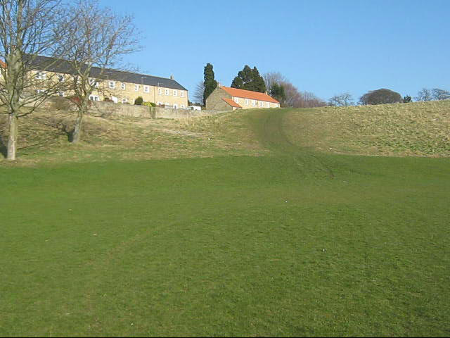
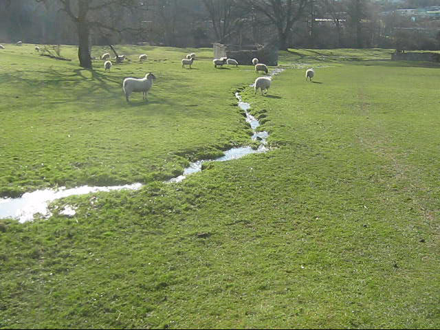
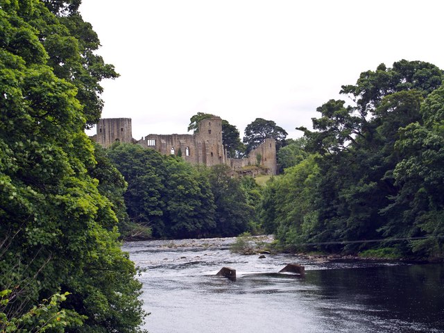
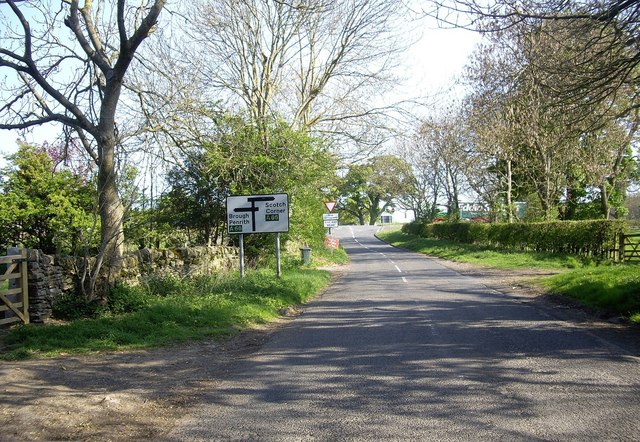
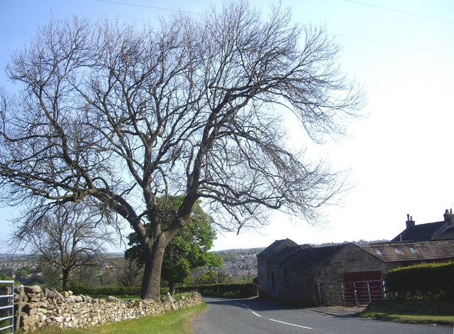
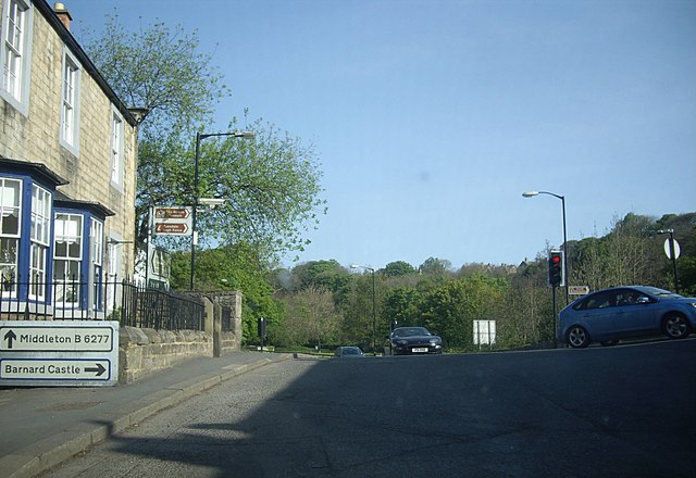
Lendings Images
Images are sourced within 2km of 54.533515/-1.9195009 or Grid Reference NZ0515. Thanks to Geograph Open Source API. All images are credited.
Lendings is located at Grid Ref: NZ0515 (Lat: 54.533515, Lng: -1.9195009)
Division: North Riding
Unitary Authority: County Durham
Police Authority: Durham
What 3 Words
///pumps.sprouted.wedding. Near Barnard Castle, Co. Durham
Nearby Locations
Related Wikis

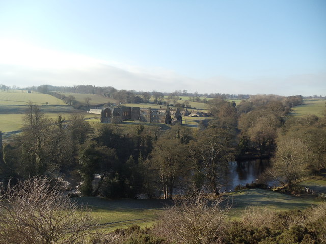
Egglestone Abbey
Egglestone Abbey is a ruined Premonstratensian abbey in County Durham, England. It is located 1+1⁄2 miles (2.4 km) south-east of Barnard Castle, on the...
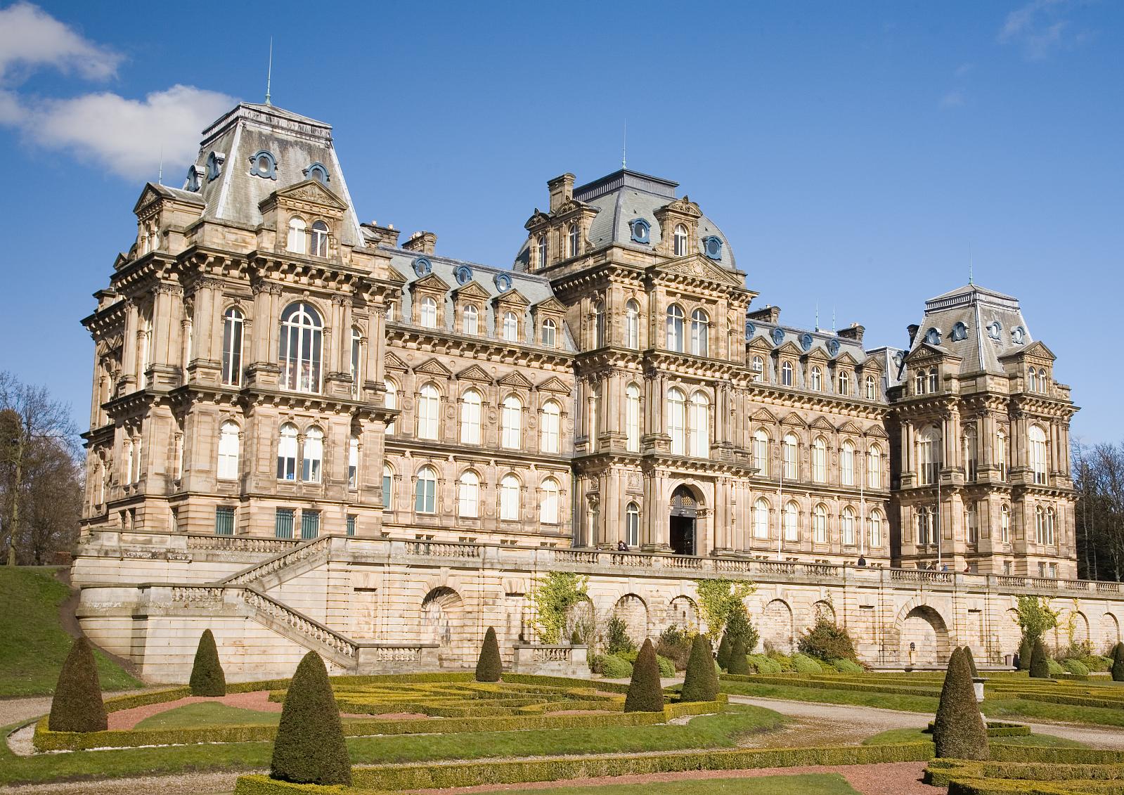
Bowes Museum
The Bowes Museum is an art gallery in the town of Barnard Castle, in County Durham in northern England. It was built to designs by Jules Pellechet and...

Silver Swan (automaton)
The Silver Swan is an automaton dating from the 18th century and now housed in the Bowes Museum, Barnard Castle, Teesdale, County Durham, England. It was...
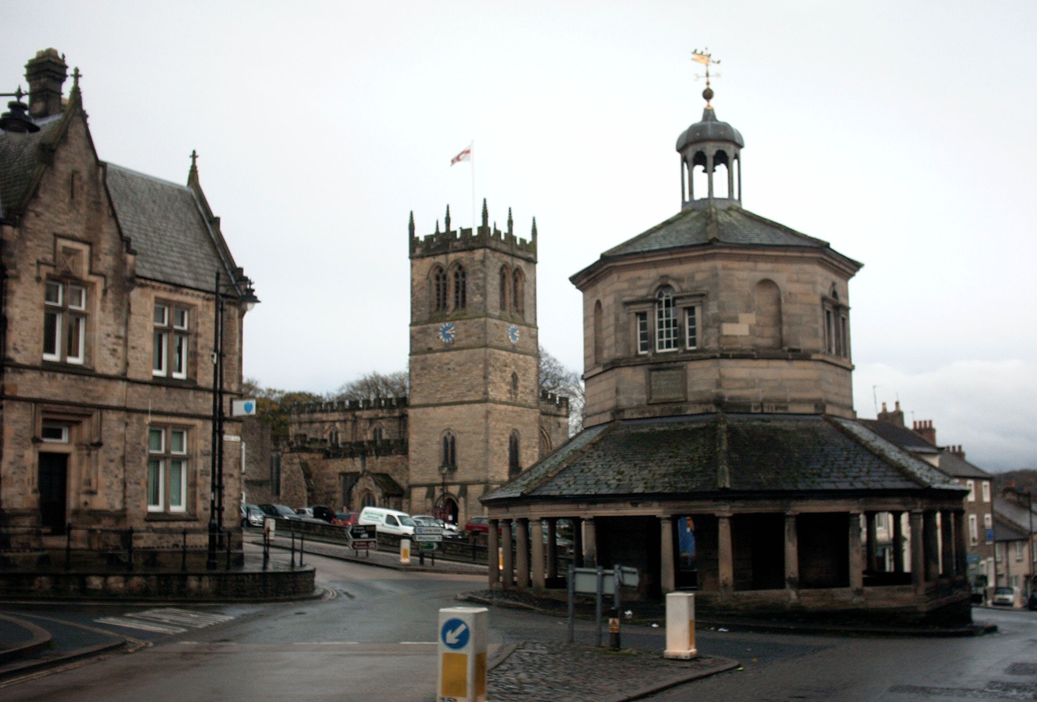
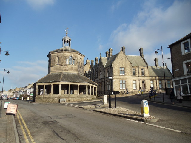
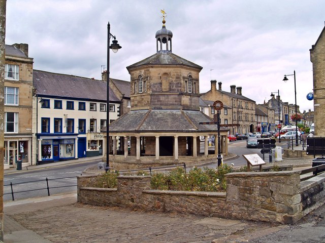
Market Cross, Barnard Castle
Barnard Castle Market Cross (also known as the Butter Market or Break's Folley) is an octagonal construction in the market town of Barnard Castle, Teesdale...
Related Videos

A Hiking Adventure: Barnard Castle to Cotherstone
Join me as I satisfy my wanderlust by hiking this trail from Barnard Castle to Cotherstone in the North Pennines ...

This is wild, this is Teesdale Alpacas
Take a trek on the wild side with Teesdale Alpacas in the stunning #DurhamDales countryside - http://bit.ly/teesdalealpacas ...

Explore The Bowes Museum with Travel with Mansoureh
Join @mansoureh as she makes her own #memorablemoments by exploring the stunning Bowes Museum, found in the heart of ...
Nearby Amenities
Located within 500m of 54.533515,-1.9195009Have you been to Lendings?
Leave your review of Lendings below (or comments, questions and feedback).