Lenches
Settlement in Lancashire Pendle
England
Lenches
Lenches is a small village located in the county of Lancashire, England. Situated approximately 5 miles northeast of the town of Preston, Lenches is nestled in a picturesque rural setting, surrounded by rolling hills and expansive farmland. The village is part of the larger borough of Ribble Valley, known for its stunning natural beauty and charming countryside.
Lenches is characterized by its quaint and peaceful atmosphere, making it an ideal destination for those seeking a quiet and idyllic lifestyle. The village is home to a tight-knit community, with a population of around 500 residents. The locals take great pride in their village and work together to maintain its charm and heritage.
The village features a few amenities to cater to its residents' needs. These include a local pub, a small convenience store for daily essentials, and a village hall that serves as a social hub for community events and gatherings. Additionally, there is a primary school located in the village, ensuring that families have access to quality education for their children.
Lenches is surrounded by a wealth of natural beauty, offering plenty of opportunities for outdoor activities. The nearby countryside provides scenic walking and cycling routes, allowing residents to enjoy the tranquility and stunning views of the Lancashire landscape. The village is also in close proximity to the Forest of Bowland, an Area of Outstanding Natural Beauty, attracting visitors from far and wide.
Overall, Lenches offers a peaceful and close-knit community, with a strong connection to nature and the surrounding countryside. It provides a perfect retreat for those seeking a slower-paced and rural lifestyle in the heart of Lancashire.
If you have any feedback on the listing, please let us know in the comments section below.
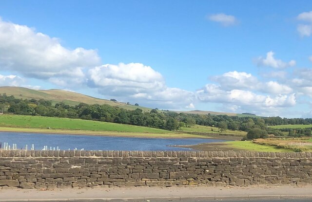
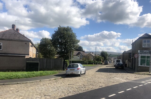
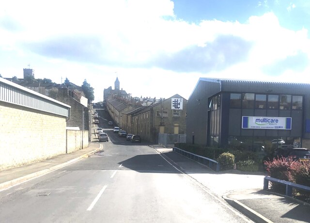
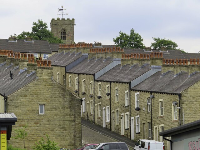
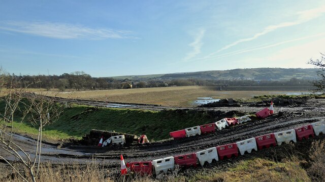
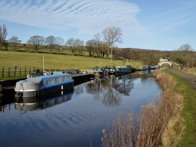
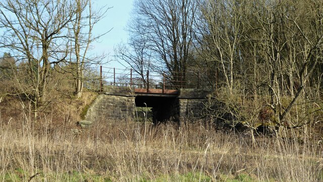
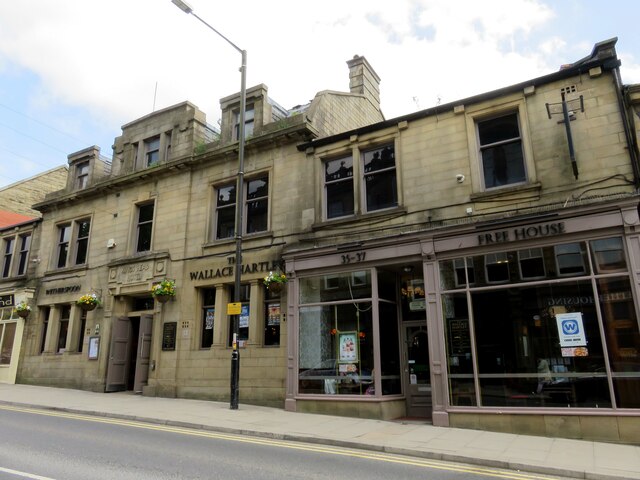
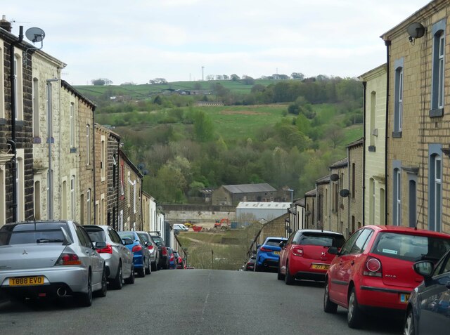
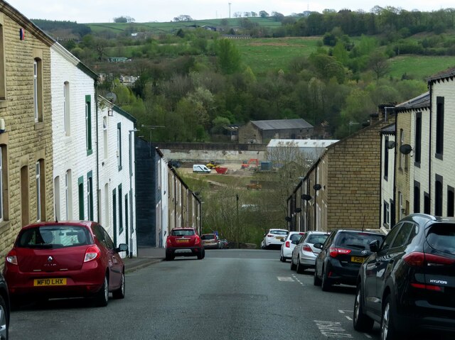
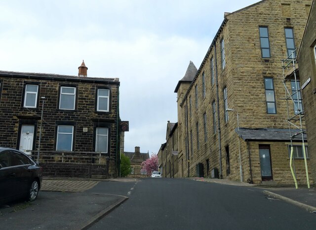
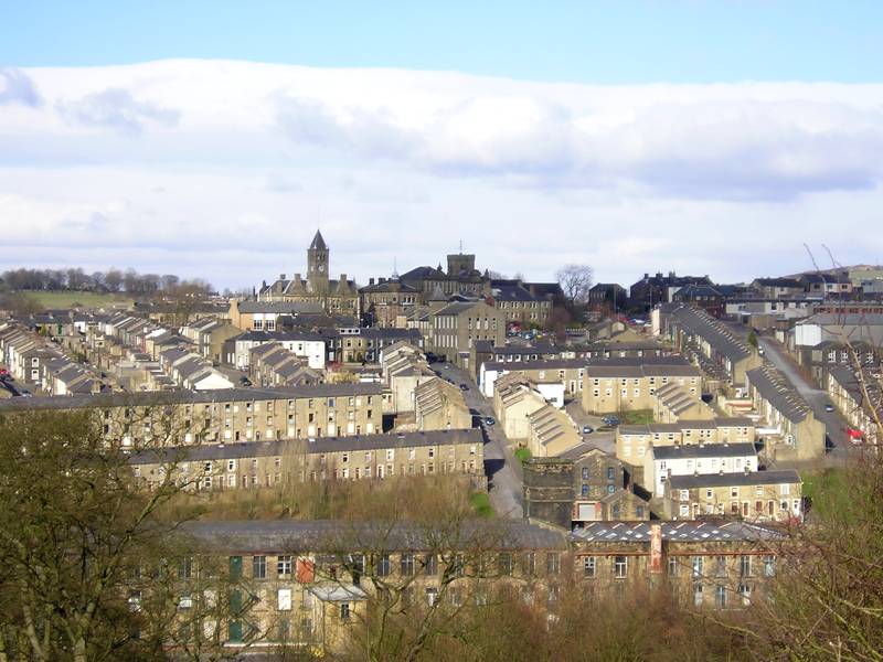
Lenches Images
Images are sourced within 2km of 53.85265/-2.1734131 or Grid Reference SD8839. Thanks to Geograph Open Source API. All images are credited.


Lenches is located at Grid Ref: SD8839 (Lat: 53.85265, Lng: -2.1734131)
Administrative County: Lancashire
District: Pendle
Police Authority: Lancashire
What 3 Words
///nametag.initiates.crunched. Near Colne, Lancashire
Nearby Locations
Related Wikis
Colne
Colne () is a market town and civil parish in the Borough of Pendle in Lancashire, England. Located three miles (five kilometres) northeast of Nelson,...
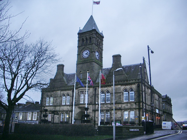
Colne Town Hall
Colne Town Hall is a municipal building in Albert Road, Colne, Lancashire, England. The town hall, which is the meeting place of Colne Town Council, is...

St Bartholomew's Church, Colne
St Bartholomew's Church is in the town of Colne in Lancashire, England. It is an active Anglican parish church in the Diocese of Blackburn. There has been...

Pendle Hippodrome Theatre
The Pendle Hippodrome Theatre is an volunteer-run theatre in Colne, Lancashire in the north of England. It is owned by the Pendle Hippodrome Theatre Company...
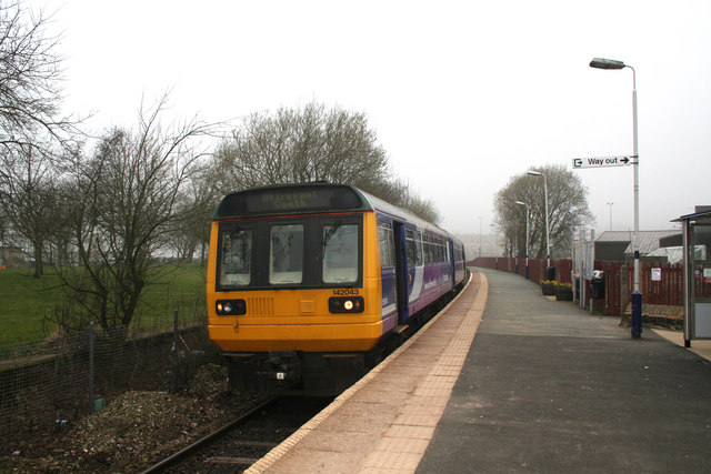
Colne railway station
Colne railway station serves the town of Colne, in Lancashire, England, which is situated close to Pendle Hill. The station, which is managed by Northern...

Colne Primet Academy
Colne Primet Academy (formerly Colne Primet High School) is a mixed secondary school located in Colne in the English county of Lancashire.Previously a...
Ss John Fisher and Thomas More Roman Catholic High School
Ss John Fisher and Thomas More RC High School is a coeducational secondary school located in Colne in the English county of Lancashire. The school is named...
Colne F.C.
Colne Football Club is a football club based in Colne, Lancashire, England. Affiliated with the Lancashire County Football Association, they are currently...
Nearby Amenities
Located within 500m of 53.85265,-2.1734131Have you been to Lenches?
Leave your review of Lenches below (or comments, questions and feedback).