Higher Change
Settlement in Lancashire Rossendale
England
Higher Change
Higher Change is a small village located in the county of Lancashire, England. Situated in the picturesque Ribble Valley, it is nestled between the towns of Clitheroe and Whalley. The village is known for its rural charm, with a population of around 500 residents.
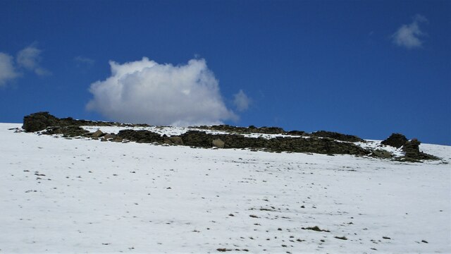
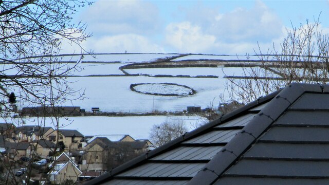
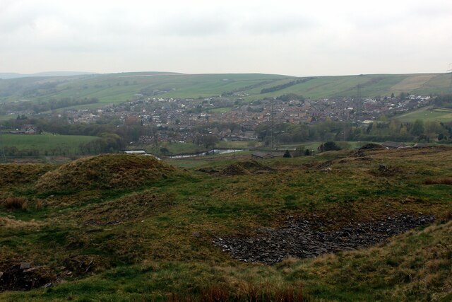
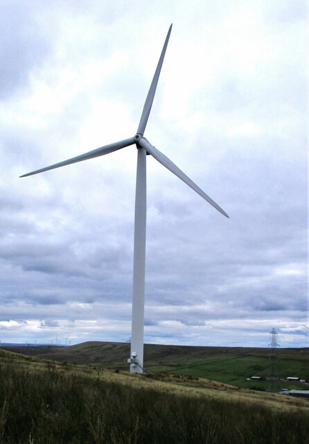
The landscape of Higher Change is characterized by rolling hills and lush green fields, making it an ideal destination for nature enthusiasts and hikers. The area is also home to several walking trails, providing breathtaking views of the surrounding countryside.
The village itself is quaint and tranquil, with traditional stone houses and a close-knit community. It boasts a historic church, dating back to the 12th century, which stands as a testament to the village's rich heritage. The church is often a focal point for community events and gatherings.
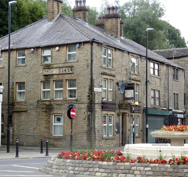
Although small in size, Higher Change offers its residents and visitors a range of amenities. There is a local pub, serving traditional British cuisine and a variety of beverages, providing a warm and welcoming atmosphere. Additionally, the village has a post office and a convenience store, ensuring that basic necessities are readily available to its inhabitants.
Overall, Higher Change is a charming village that offers a peaceful retreat from the hustle and bustle of city life. With its natural beauty, historic landmarks, and tight-knit community, it is a hidden gem in the heart of Lancashire.
If you have any feedback on the listing, please let us know in the comments section below.
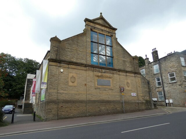
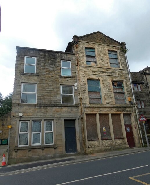
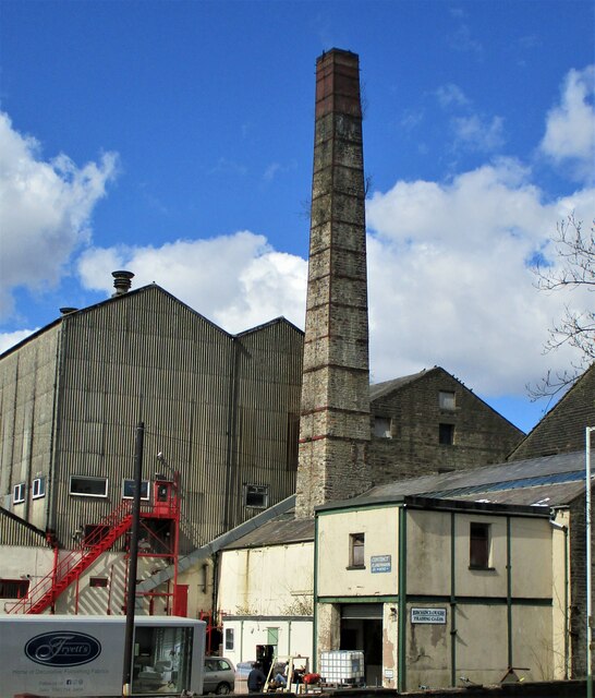
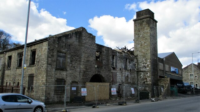
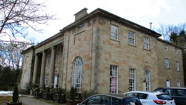
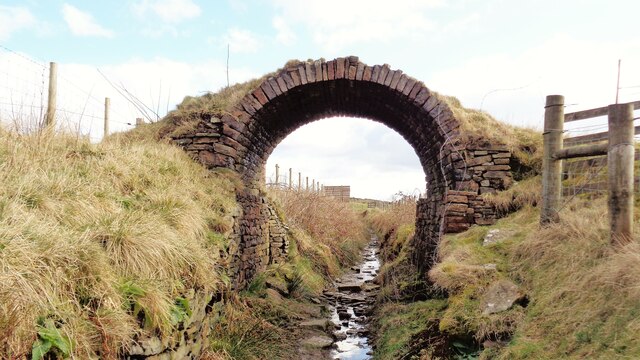
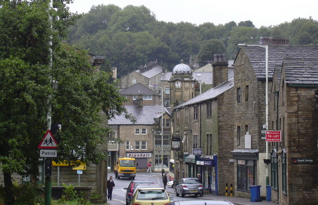
Higher Change Images
Images are sourced within 2km of 53.710208/-2.1857036 or Grid Reference SD8723. Thanks to Geograph Open Source API. All images are credited.
Higher Change is located at Grid Ref: SD8723 (Lat: 53.710208, Lng: -2.1857036)
Administrative County: Lancashire
District: Rossendale
Police Authority: Lancashire
What 3 Words
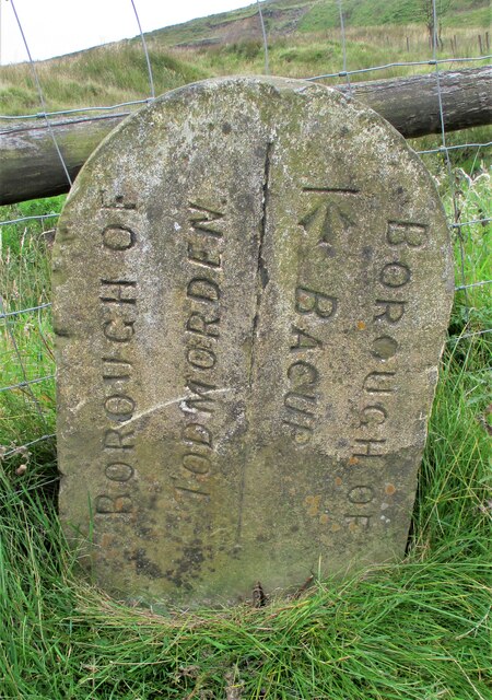
///good.barn.cleansed. Near Bacup, Lancashire
Nearby Locations
Related Wikis

Christ Church, Bacup
Christ Church is in Beech Street, off Todmorden Road, Bacup, Lancashire, England. It is a former Anglican parish church in the deanery of Rossendale, the...

Sharneyford
Sharneyford is a hamlet in Lancashire, England, on the A681 road between Bacup and Todmorden. It is home to one of the smallest schools in Britain, Sharneyford...

Bacup Borough F.C.
Bacup Borough Football Club is a football club based in Bacup, Lancashire, England. The club are currently members of the North West Counties League Division...
Bacup
Bacup ( BAY-kəp, ) is a town in the Rossendale Borough in Lancashire, England, in the South Pennines close to Lancashire's boundaries with West Yorkshire...

Broadclough
Broadclough – historically Broad Clough (meaning "broad valley") – is a village located to the north of Bacup (where population details are included),...

A671 road
The A671 is a road in the North West of England, that runs between Oldham, Greater Manchester and Worston, near Clitheroe, Lancashire. Major towns on the...

Weir, Lancashire
Weir is a village to the north of Bacup in the Rossendale borough of Lancashire, England, and immediately south of the boundary with the Borough of Burnley...

Bacup railway station
Bacup railway station served the town of Bacup, Rossendale, Lancashire, England, from 1852 until closure in 1966 and was the terminus of two lines; one...
Nearby Amenities
Located within 500m of 53.710208,-2.1857036Have you been to Higher Change?
Leave your review of Higher Change below (or comments, questions and feedback).